Ayre of Buness
Beach in Shetland
Scotland
Ayre of Buness

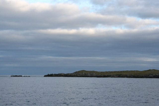
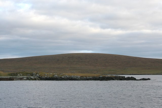
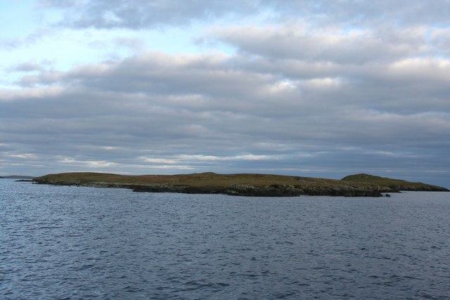
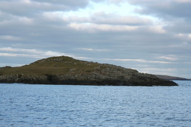
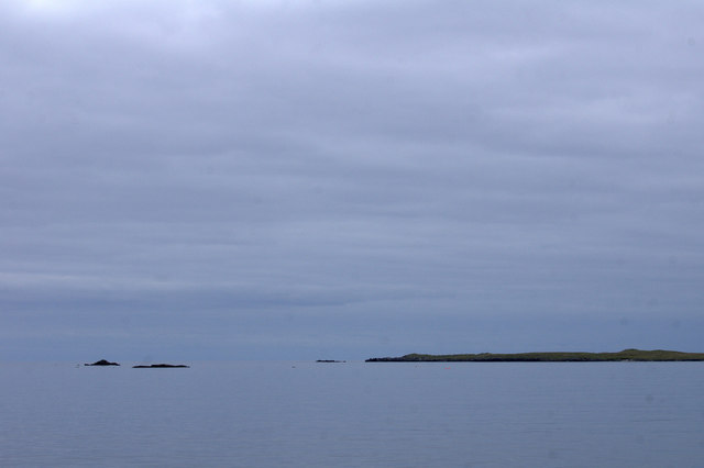
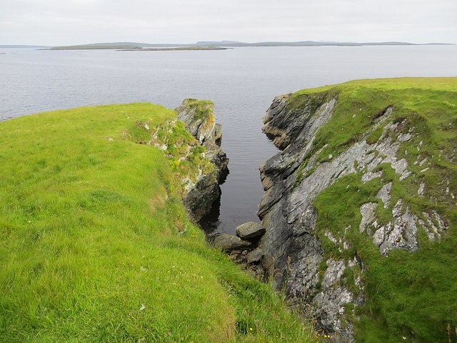
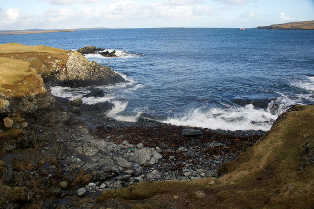
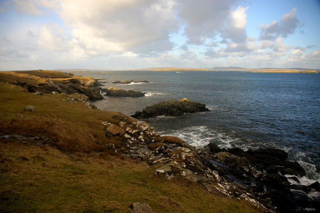
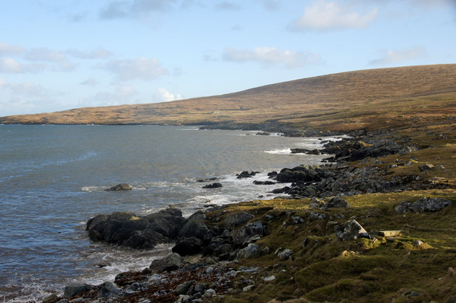
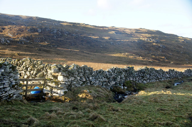
Ayre of Buness is a picturesque beach located on the island of Shetland, Scotland. Situated on the western coast of the island, it offers visitors a stunning natural landscape with its pristine sandy shores and crystal-clear turquoise waters.
Stretching over a mile long, Ayre of Buness boasts a wide expanse of unspoiled beach, making it an ideal destination for those seeking tranquility and solitude. The beach is known for its peaceful atmosphere, away from the hustle and bustle of urban life, providing a serene escape for locals and tourists alike.
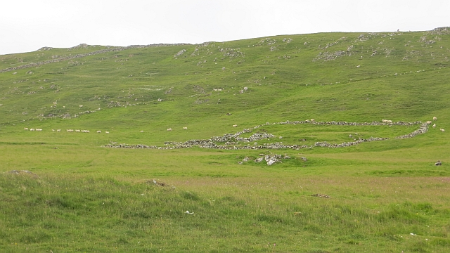
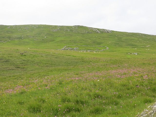
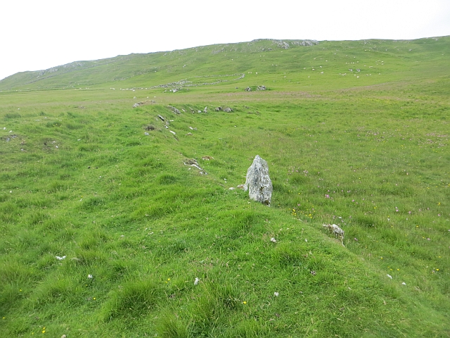
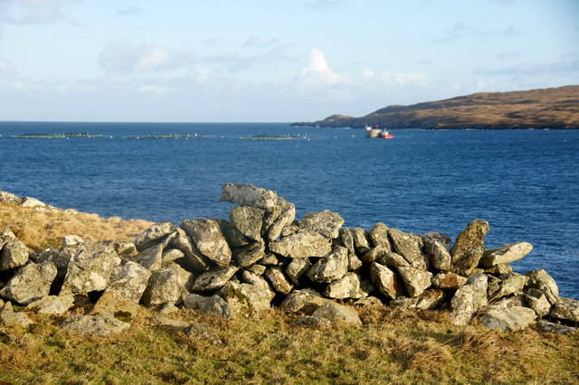
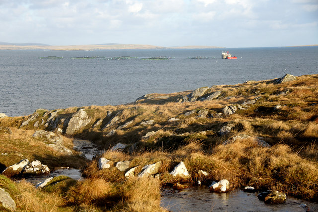
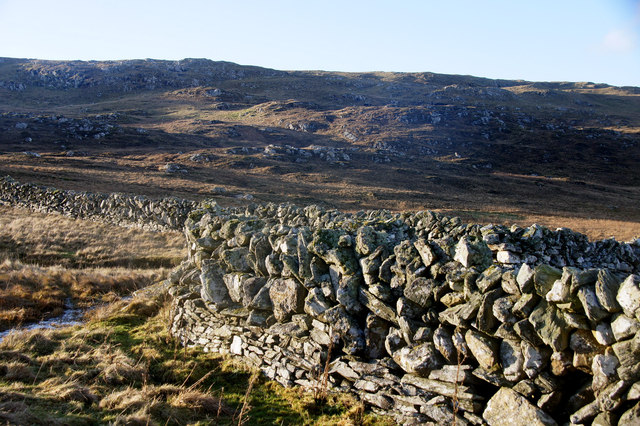
The scenery at Ayre of Buness is breathtaking, with dramatic cliffs and rolling hills framing the beach. Visitors can take leisurely walks along the shore, enjoying the gentle sea breeze and taking in the panoramic views of the surrounding landscape. The beach also offers opportunities for wildlife spotting, as seals and various seabirds are often seen in the area.
Swimming in the waters of Ayre of Buness can be invigorating, but caution is advised due to the cool temperatures of the North Sea. However, the beach is a popular spot for water sports enthusiasts, who can be seen kayaking, paddleboarding, and even surfing during the summer months.
Ayre of Buness is accessible by car, with a small car park available for visitors. The beach is also a short distance from the nearby village of Aith, where amenities such as shops and cafes can be found. Overall, Ayre of Buness is a hidden gem in Shetland, offering natural beauty and tranquility to all who visit.
If you have any feedback on the listing, please let us know in the comments section below.
Ayre of Buness Images
Images are sourced within 2km of 60.624249/-0.91065783 or Grid Reference HU5993. Thanks to Geograph Open Source API. All images are credited.
Ayre of Buness is located at Grid Ref: HU5993 (Lat: 60.624249, Lng: -0.91065783)
Unitary Authority: Shetland Islands
Police Authority: Highlands and Islands
What 3 Words
///pleaser.steroids.underway. Near Houbie, Shetland Islands
Nearby Locations
Related Wikis

Urie Lingey
For other islands with similar names, see Linga (disambiguation) Urie Lingey is one of the Shetland Islands. It is between Fetlar and Unst, and Yell is...

Hamars Ness
Hamars Ness is a headland on the island of Fetlar in Shetland, Scotland. The name is from the Old Norse Hamarsnes meaning "craggy headland". A ro-ro ferry...

Brough Lodge
Brough Lodge is a 19th-century Gothic mansion on Fetlar, one of the Shetland Islands, in northern Scotland. Built by the Nicolson family, who were responsible...

Funzie Girt
Funzie Girt (; Scots: Funyie Girt "Finns' dyke") is an ancient dividing wall that was erected from north to south across the island of Fetlar in Shetland...

Haltadans
Haltadans, also known as Fairy Ring or Haltadans stone circle, is a stone circle on the island of Fetlar in Shetland, Scotland. This site is a ring of...

Sound Gruney
For other islands with similar names, see Gruney (disambiguation) Sound Gruney is one of the Shetland islands. It lies about 1.5 kilometres (0.93 mi)...

Fetlar
Fetlar (Scots: Fetlar) is one of the North Isles of Shetland, Scotland, with a usually resident population of 61 at the time of the 2011 census. Its main...

Hascosay
Hascosay (Scots: Hascosay; Old Norse "Hafskotsey") is a small island lying between Yell and Fetlar in the Shetland Islands, Scotland. == Geography and... ==
Nearby Amenities
Located within 500m of 60.624249,-0.91065783Have you been to Ayre of Buness?
Leave your review of Ayre of Buness below (or comments, questions and feedback).