Ayre of Belmont

Beach in Shetland

Scotland

Ayre of Belmont

MV Merete Chris at Gutcher quarry The Danish-registered ship, which is apparently a suction dredger, taking on rocks from the Gutcher quarry, using a grab on a crane on a vehicle which has been placed on the deck. There is not quay or pier here, the ship has just come as close inshore as it can.
MV Merete Chris at Gutcher quarry Credit: Mike Pennington

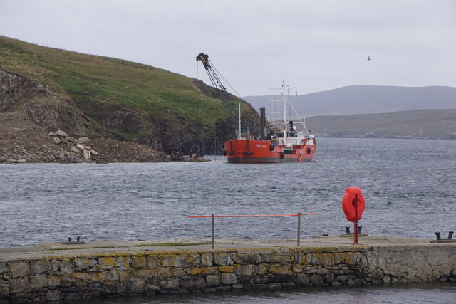
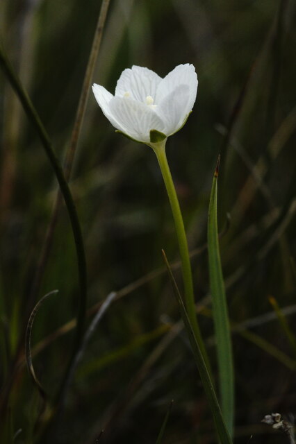
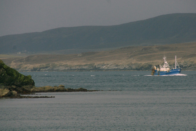
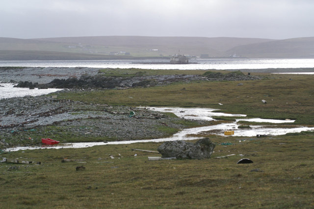
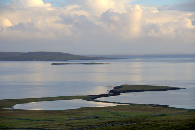
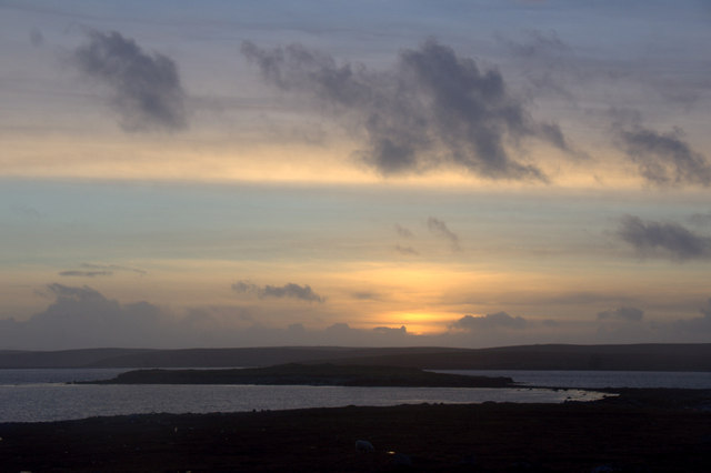
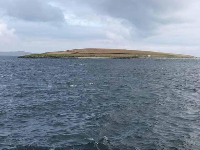
Ayre of Belmont, located in Shetland, Scotland, is a picturesque beach renowned for its natural beauty and tranquility. Nestled along the coastline, this stunning beach offers visitors a chance to escape the hustle and bustle of everyday life and immerse themselves in the serenity of nature.

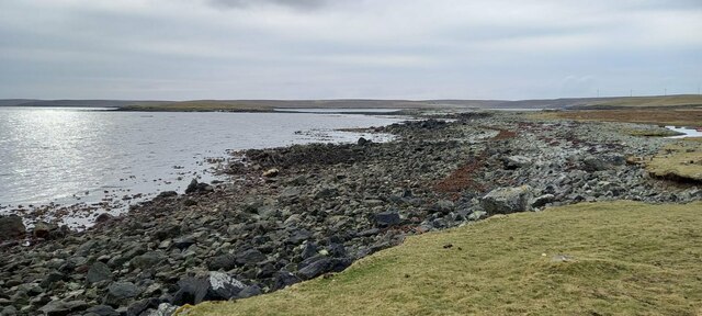
The beach itself boasts pristine golden sands that stretch for approximately 400 meters, providing ample space for visitors to relax, sunbathe, or take leisurely strolls. With its crystal-clear waters gently lapping against the shore, Ayre of Belmont is also a popular spot for swimming and paddling, particularly during the warmer summer months.

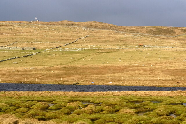
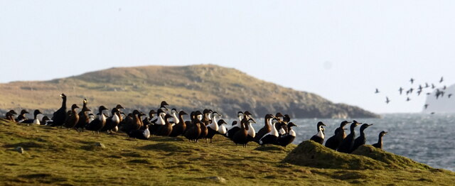
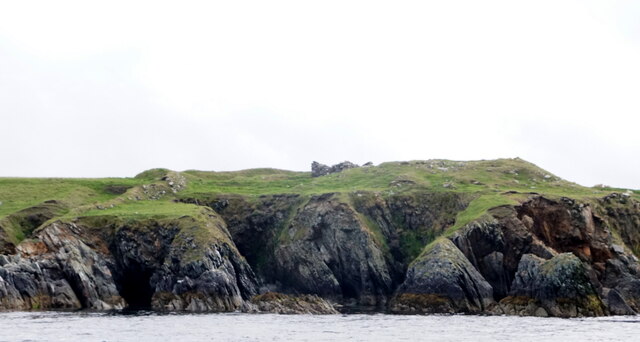
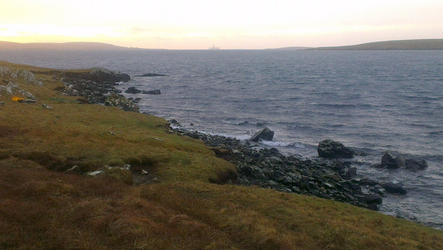
Surrounded by stunning cliffs and rolling green hills, the beach offers breathtaking panoramic views of the rugged coastline and the vast expanse of the North Sea. It is a haven for wildlife enthusiasts, as the area is teeming with a diverse array of bird species, making it an ideal spot for birdwatching.

Ayre of Belmont is also known for its rich marine life, attracting snorkelers and divers who wish to explore the underwater world and discover the vibrant array of sea creatures that call the area home.

Visitors to Ayre of Belmont can enjoy a peaceful and serene atmosphere, far away from the noise and pollution of urban areas. The beach is easily accessible, with a car park nearby and facilities including toilets and picnic areas available for visitors' convenience.

Overall, Ayre of Belmont is a hidden gem in the Shetland Islands, offering visitors a chance to connect with nature, relax, and enjoy the breathtaking beauty of the Scottish coastline.

If you have any feedback on the listing, please let us know in the comments section below.

Ayre of Belmont Images

Images are sourced within 2km of 60.684533/-0.96616583 or Grid Reference HP5600. Thanks to Geograph Open Source API. All images are credited.

MV Merete Chris at Gutcher quarry The Danish-registered ship, which is apparently a suction dredger, taking on rocks from the Gutcher quarry, using a grab on a crane on a vehicle which has been placed on the deck. There is not quay or pier here, the ship has just come as close inshore as it can.
MV Merete Chris at Gutcher quarry
The Danish-registered ship, which is apparently a suction dredger, taking on rocks from the Gutcher quarry, using a grab on a crane on a vehicle which has been placed on the deck. There is not quay or pier here, the ship has just come as close inshore as it can.
Loch of Heogland and Gallow Hill
Eiders and Shags at Point of Burkwell, near Uyeasound
Heogland from Point of Burkwell
Grass-of-Parnassus (Parnassia palustris), Heogland Fairly widespread in Shetland, but this is the only location on Unst.
Grass-of-Parnassus (Parnassia palustris), Heogland
Fairly widespread in Shetland, but this is the only location on Unst.
Tidal turbines awaiting installation, Belmont
Hoga Ness Brough, Belmont, from the sea
Belmont, Unst This was taken from the Gutcher-Belmont ferry as we come into port at Belmont, Unst, Shetland. We are on the Wick of Belmont and this is Belmont House, a category A-listed Georgian country house which was built in 1775 by Shetland landowner Thomas Mouat of Garth. Restored to its former glory between 1996 and 2010, it is now a private residence though it has been let out occasionally as a venue for cultural events and B&B accommodation.
Belmont, Unst
This was taken from the Gutcher-Belmont ferry as we come into port at Belmont, Unst, Shetland. We are on the Wick of Belmont and this is Belmont House, a category A-listed Georgian country house which was built in 1775 by Shetland landowner Thomas Mouat of Garth. Restored to its former glory between 1996 and 2010, it is now a private residence though it has been let out occasionally as a venue for cultural events and B&B accommodation.
Fishing vessel passing the Head of Gutcher A fishing boat, LK 75 Venturous, heading south through Bluemull Sound.
Fishing vessel passing the Head of Gutcher
A fishing boat, LK 75 Venturous, heading south through Bluemull Sound.
Narrow strip of land between Loch of Heogland and the sea Looking across towards Yell.
Narrow strip of land between Loch of Heogland and the sea
Looking across towards Yell.
Heogland from Gallow Hill The Loch of Heogland and the Holm of Heogland. In the background is the island of Sound Gruney and the west end of Fetlar.
Heogland from Gallow Hill
The Loch of Heogland and the Holm of Heogland. In the background is the island of Sound Gruney and the west end of Fetlar.
Wick of Brecknagarth, Heogland, at sunset Looking towards Yell.
Wick of Brecknagarth, Heogland, at sunset
Looking towards Yell.
Sunset behind Holm of Heogland
Hut at the north end of Linga Uninhabited island at the south end of Bluemull Sound between Yell and Unst (but nearer to Yell). Unst in the distance.
Hut at the north end of Linga
Uninhabited island at the south end of Bluemull Sound between Yell and Unst (but nearer to Yell). Unst in the distance.
North end of Linga Uninhabited island at the south end of Bluemull Sound between Yell and Unst (but nearer to Yell). North Booth (the northernmost point) to the left; a small hut to the right.
North end of Linga
Uninhabited island at the south end of Bluemull Sound between Yell and Unst (but nearer to Yell). North Booth (the northernmost point) to the left; a small hut to the right.
Otter (Lutra lutra), Heogland A female, which was playing with a large cub on the beach.
Otter (Lutra lutra), Heogland
A female, which was playing with a large cub on the beach.
Otters (Lutra lutra) play-fighting, Heogland A mother and cub playing.
Otters (Lutra lutra) play-fighting, Heogland
A mother and cub playing.
Scorda Skerry, Head of Mula, Belmont The drill ship Stena Carron is on the horizon.
Scorda Skerry, Head of Mula, Belmont
The drill ship Stena Carron is on the horizon.
Show me another place!

Ayre of Belmont is located at Grid Ref: HP5600 (Lat: 60.684533, Lng: -0.96616583)

Unitary Authority: Shetland Islands

Police Authority: Highlands and Islands

What 3 Words

///mornings.nesting.expressed. Near Uyeasound, Shetland Islands

Related Wikis

Belmont, Shetland

Belmont is a settlement and ferry terminal in southern Unst in the Shetland Islands. The ferry crosses from here to Gutcher in Yell and to Hamars Ness...

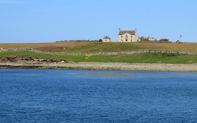
Belmont House, Shetland

Belmont House is a neo classical Georgian Country House Estate on the island of Unst, the most northerly of the Shetland Islands, [United Kingdom] and...

Bluemull Sound

Bluemull Sound is the strait between Unst and Yell in Shetland's North Isles. A ferry service crosses it regularly. Cullivoe is on the Yell side, and the...

Linga, Bluemull Sound

Linga is a very small uninhabited island in the Bluemull Sound, Shetland, Scotland. It is one of many islands in Shetland called Linga. It has an area...

Gutcher

Gutcher is a settlement on the northeast coast of Yell in the Shetland islands. From here, rollon/roll off ferry services to Belmont on Unst and Hamars...

Uyeasound

Uyeasound is a village on the Isle of Unst, the northernmost island of the Shetland Islands, Scotland. It takes its name from the neighbouring strait of...

North Isles

The North Isles are the northern islands of the Shetland Islands, Scotland. The main islands in the group are Yell, Unst and Fetlar. Sometimes the islands...

Cullivoe

Cullivoe (Old Norse: Kollavágr - Bay of Kolli), is a village on Yell in the Shetland Islands. It is in the north east of the island, near Bluemull Sound...

Nearby Amenities

Located within 500m of 60.684533,-0.96616583
Ferry Terminal
Lat/Long: 60.6831278/-0.9667875
Toilets
Lat/Long: 60.6831699/-0.9666318
Belmont
Is In: Scotland, GB
Name Sco: Belmunt
Place: hamlet
Lat/Long: 60.6858291/-0.9613046
Seamark Light Category: vertical
Seamark Light Character: F
Seamark Light Colour: green
Seamark Light Height: 6
Seamark Light Multiple: 2
Seamark Light Range: 2
Seamark Light Reference: A 3830.5
Seamark Type: light_minor
Source: US NGA Pub. 114. 2011-05-26.
Lat/Long: 60.68292/-0.9675891
Power: pole
Lat/Long: 60.687112/-0.9602558
Power: pole
Lat/Long: 60.6866039/-0.9619
Power: pole
Lat/Long: 60.6861771/-0.9632974
Power: pole
Lat/Long: 60.6838176/-0.9654596
Power: pole
Lat/Long: 60.6843928/-0.9649339
Power: pole
Lat/Long: 60.6850022/-0.9643787
Power: pole
Lat/Long: 60.6857757/-0.9664735
Archaeological Site: megalith
Historic: archaeological_site
Megalith Type: menhir
Note: recorded as https://canmore.org.uk/site/47/unst-belmont
Lat/Long: 60.687298/-0.9625568
Archaeological Site: megalith
Historic: archaeological_site
Megalith Type: menhir
Note: recorded as https://canmore.org.uk/site/47/unst-belmont
Lat/Long: 60.6872704/-0.9625568
Power: pole
Lat/Long: 60.683294/-0.9652617
Power: pole
Lat/Long: 60.6856014/-0.9638106
Power: pole
Lat/Long: 60.6856736/-0.9649425
Power: pole
Lat/Long: 60.685386/-0.9658652
Power: pole
Lat/Long: 60.6877806/-0.9666149
Power: pole
Lat/Long: 60.6871477/-0.966116
Power: pole
Lat/Long: 60.6862298/-0.9653864
Wick of Belmont
Natural: bay
Source: OS Open Names
Lat/Long: 60.6826803/-0.9715493
Power: pole
Lat/Long: 60.6850821/-0.9668603
Power: pole
Lat/Long: 60.6865818/-0.9656713
The data included in this document is from www.openstreetmap.org. The data is made available under ODbL.

Have you been to Ayre of Belmont?

Leave your review of Ayre of Belmont below (or comments, questions and feedback).