Ayre of Baga
Beach in Shetland
Scotland
Ayre of Baga
Ayre of Baga is a stunning beach located in the picturesque Shetland Islands, situated off the northeastern coast of Scotland. With its pristine white sands and crystal-clear turquoise waters, this beach offers visitors a truly enchanting experience.
Stretching over a kilometer in length, Ayre of Baga is renowned for its natural beauty and tranquil atmosphere. The beach is nestled within a secluded bay, providing a sense of privacy and serenity. Its remote location adds to its allure, making it a perfect escape from the hustle and bustle of everyday life.
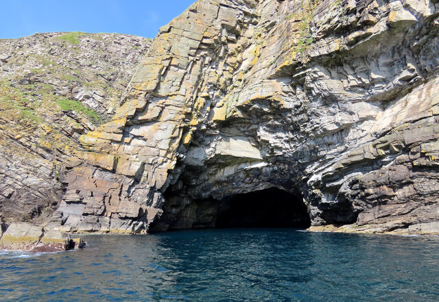
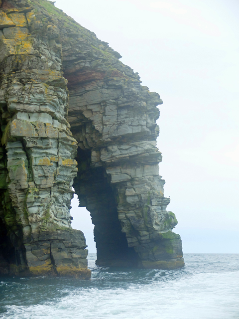
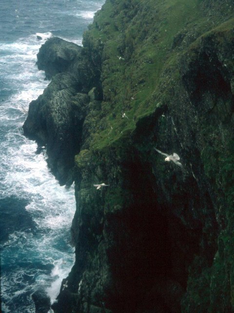
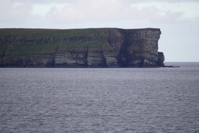
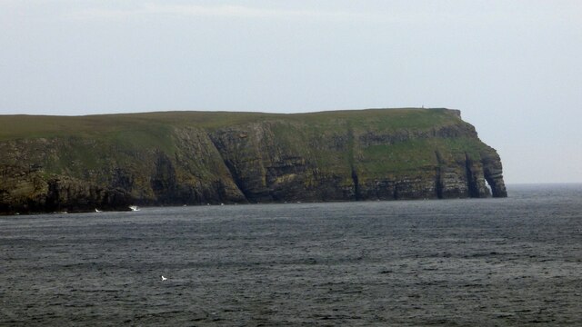
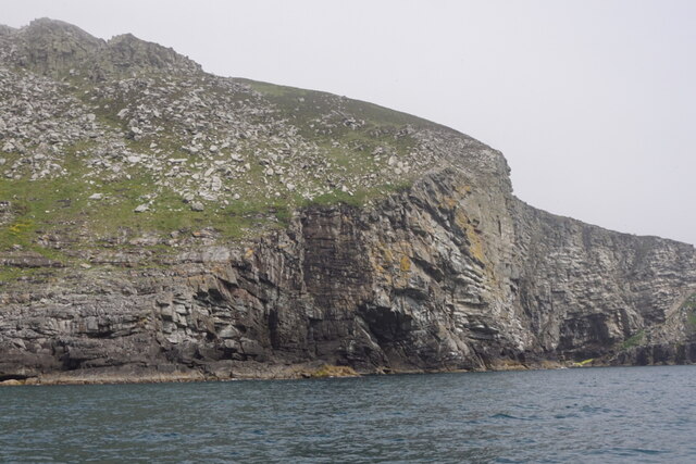
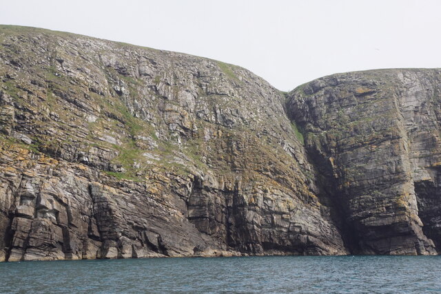
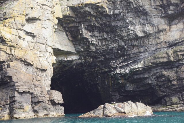
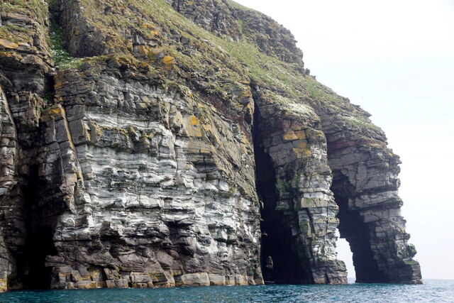
One of the beach's most distinctive features is the unique rock formations that adorn its shores. These ancient, weathered rocks create a dramatic backdrop, adding to the beach's charm. They also provide opportunities for exploration and discovery, making it a favorite spot among nature enthusiasts.
The beach's waters are exceptionally clear, making it a popular destination for snorkelers and swimmers. During low tide, the beach unveils vast expanses of sand, creating an ideal setting for long walks and picnics. Additionally, Ayre of Baga offers panoramic views of the surrounding cliffs and hills, providing a feast for the eyes.
Visitors to Ayre of Baga can expect a peaceful and unspoiled natural environment. The absence of commercial development and tourist infrastructure means that the beach remains relatively untouched, preserving its authentic charm. It is a haven for wildlife, with various seabirds often seen soaring overhead, adding to the area's natural beauty.
Ayre of Baga is a hidden gem in the Shetland Islands, offering visitors a chance to unwind, reconnect with nature, and experience the true essence of this remote and awe-inspiring destination.
If you have any feedback on the listing, please let us know in the comments section below.
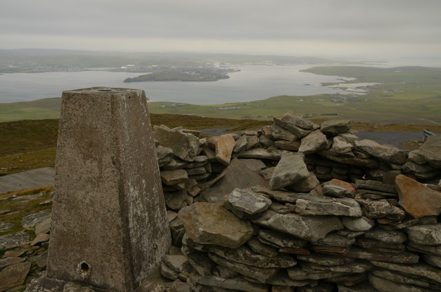
Ayre of Baga Images
Images are sourced within 2km of 60.112375/-1.1036923 or Grid Reference HU4936. Thanks to Geograph Open Source API. All images are credited.


Ayre of Baga is located at Grid Ref: HU4936 (Lat: 60.112375, Lng: -1.1036923)
Unitary Authority: Shetland Islands
Police Authority: Highlands and Islands
What 3 Words
///power.garlic.tester. Near Lerwick, Shetland Islands
Nearby Locations
Related Wikis

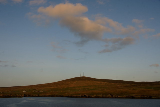
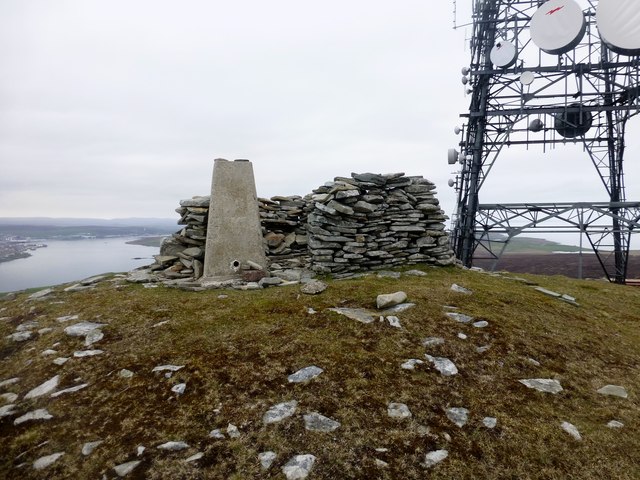
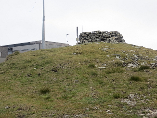
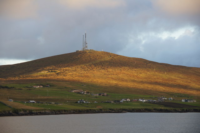
Bressay transmitting station
Bressay transmitting station is a broadcasting transmission facility for the Shetland Islands, located on the isle of Bressay, owned and operated by Arqiva...

Bressay
Bressay is a populated island in the Shetland archipelago of Scotland. == Geography and geology == Bressay lies due south of Whalsay, west of the Isle...
Lerwick and Bressay Parish Church
Lerwick and Bressay Parish Church is the largest Church of Scotland congregation in Shetland, serving the islands' capital Lerwick and the surrounding...

Gilbert Bain Hospital
The Gilbert Bain Hospital is a rural general hospital in the burgh of Lerwick, Shetland, Scotland. It is managed by NHS Shetland. == History == The hospital...
Nearby Amenities
Located within 500m of 60.112375,-1.1036923Have you been to Ayre of Baga?
Leave your review of Ayre of Baga below (or comments, questions and feedback).