Ayre of Clickimin
Beach in Shetland
Scotland
Ayre of Clickimin

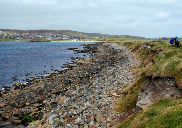
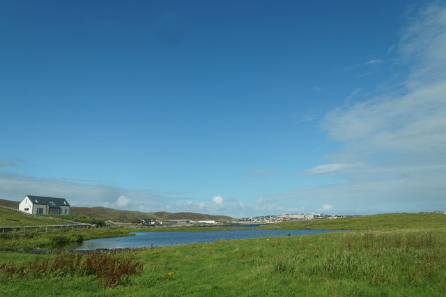
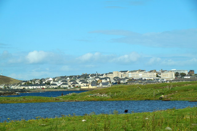
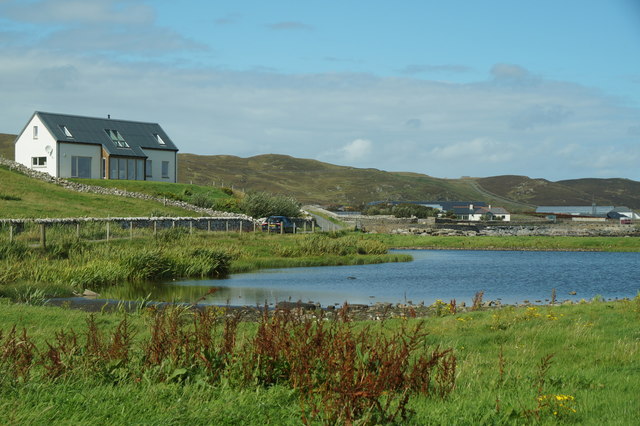
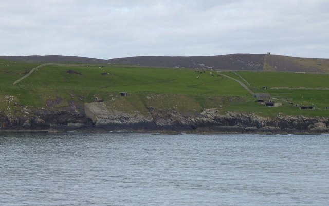
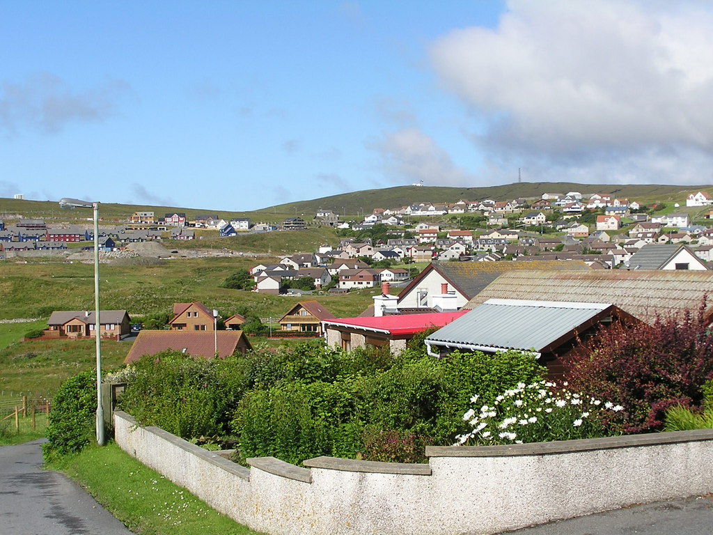
Ayre of Clickimin is a picturesque beach located in the Shetland Islands, off the northern coast of Scotland. It is situated on the south side of the Clickimin Loch, near the town of Lerwick. This stunning beach attracts visitors from all over the world with its natural beauty and tranquil atmosphere.
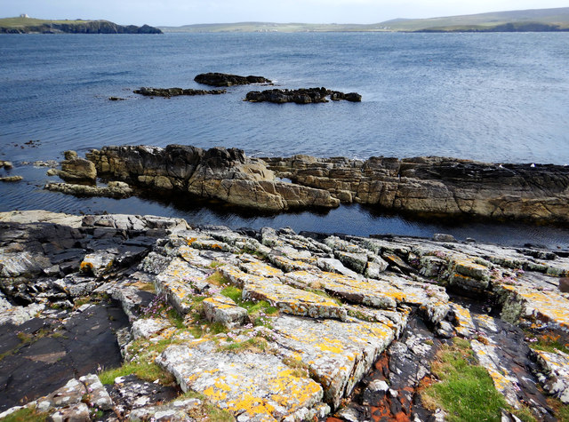
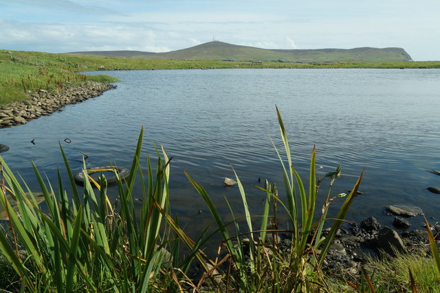
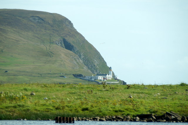
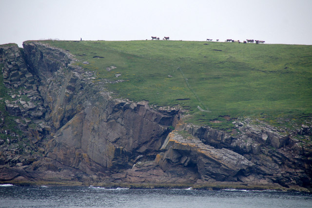
The beach itself is a long stretch of golden sand, lined with dunes and grassy areas. The crystal-clear waters of the North Sea gently lap at the shore, making it a perfect spot for swimming and paddling. Ayre of Clickimin offers breathtaking views of the surrounding landscape, including the nearby Clickimin Broch, an ancient stone tower.
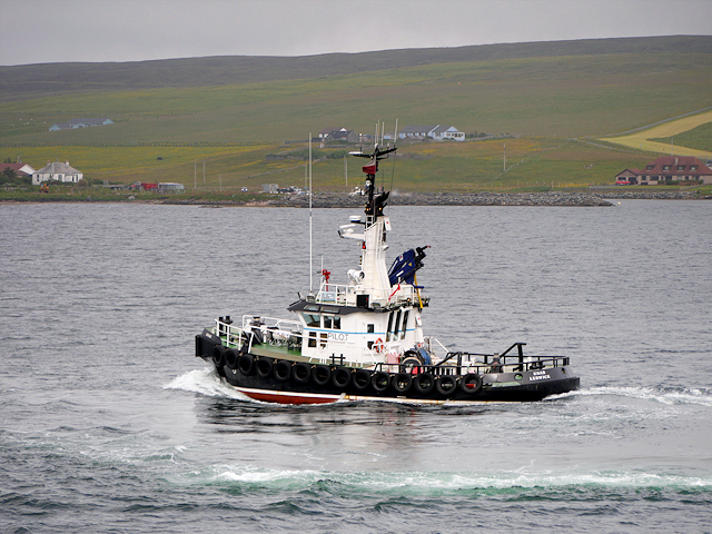
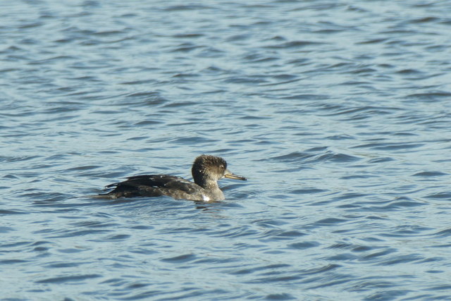
One of the most notable features of Ayre of Clickimin is its wildlife. The beach is a haven for birdwatchers, as it attracts a wide variety of seabirds, including gulls, oystercatchers, and terns. Visitors may also spot seals basking in the sun on the nearby rocks or catch a glimpse of an otter swimming in the shallows.
Ayre of Clickimin is a popular destination for outdoor enthusiasts. It offers opportunities for beachcombing, picnicking, and leisurely walks along the shore. The beach is easily accessible, with ample parking available nearby. Additionally, there are public facilities, such as toilets and a café, making it convenient for visitors to spend a whole day exploring and enjoying the natural beauty of Ayre of Clickimin.
If you have any feedback on the listing, please let us know in the comments section below.
Ayre of Clickimin Images
Images are sourced within 2km of 60.147609/-1.1596607 or Grid Reference HU4640. Thanks to Geograph Open Source API. All images are credited.


Ayre of Clickimin is located at Grid Ref: HU4640 (Lat: 60.147609, Lng: -1.1596607)
Unitary Authority: Shetland Islands
Police Authority: Highlands and Islands
What 3 Words
///mingles.widest.heads. Near Lerwick, Shetland Islands
Nearby Locations
Related Wikis
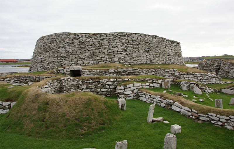
Broch of Clickimin
The Broch of Clickimin (also Clickimin or Clickhimin Broch) is a large, well-preserved but restored broch in Lerwick, Shetland, Scotland (grid reference...

Gilbert Bain Hospital
The Gilbert Bain Hospital is a rural general hospital in the burgh of Lerwick, Shetland, Scotland. It is managed by NHS Shetland. == History == The hospital...

Clickimin Loch
Clickimin Loch is a loch in Shetland, Scotland, west of Lerwick. A Pictish fort from the 6th century called Clickimin Broch is located on a small islet...

Montfield Hospital
The Montfield Hospital is a health facility in the burgh of Lerwick, Shetland, Scotland. It is managed by NHS Shetland. == History == The facility, which...

Anderson High School, Lerwick
The Anderson High School (AHS) is a comprehensive secondary school in Lerwick, Shetland, Scotland. The AHS is the largest school in Shetland with around...
Sound, Lerwick
Sound is an area situated to the south-west of central Lerwick, the capital of Shetland, Scotland.Sound is home to a primary school, public hall, and gospel...

Shetland Library
Shetland Library is the public library service of Shetland, with its main branch based in Lerwick. Membership is open to both residents of and visitors...

Lerwick Town Hall
Lerwick Town Hall is a municipal building located on Hillhead in Lerwick, Shetland, Scotland. It is used as an events venue and registrar's office. The...
Nearby Amenities
Located within 500m of 60.147609,-1.1596607Have you been to Ayre of Clickimin?
Leave your review of Ayre of Clickimin below (or comments, questions and feedback).