Ayre of Queyfirth

Beach in Shetland

Scotland

Ayre of Queyfirth

The end of the road at Queyfirth Three tracks continue, two heading to houses.
The end of the road at Queyfirth Credit: Mike Pennington

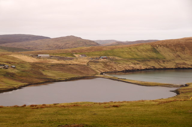
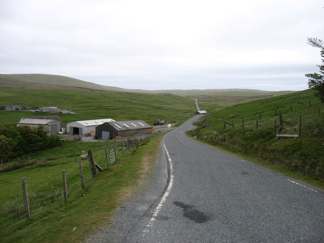
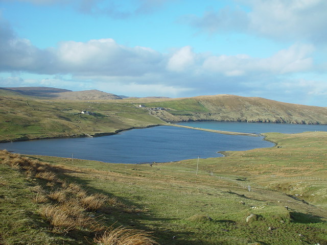
Ayre of Queyfirth is a picturesque beach located in Shetland, an archipelago in Scotland. This beautiful stretch of coastline is situated on the west side of the island of Mainland, near the village of Walls.

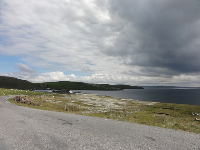
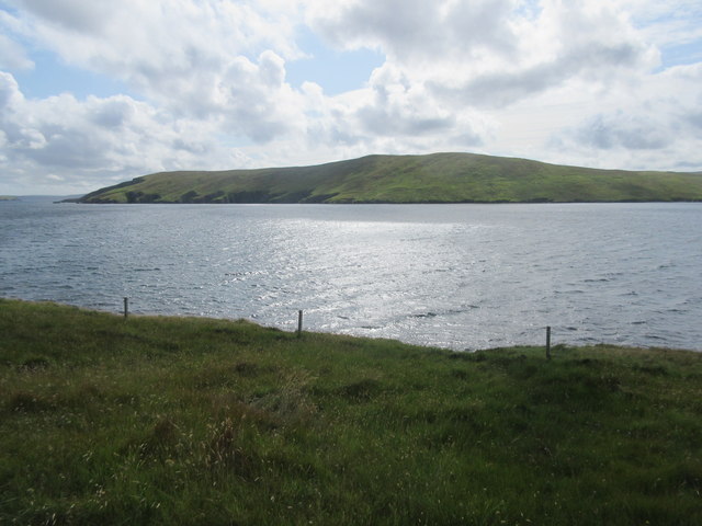
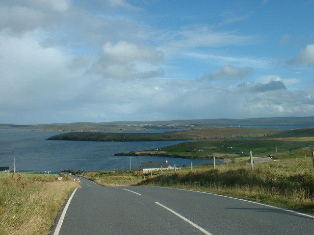
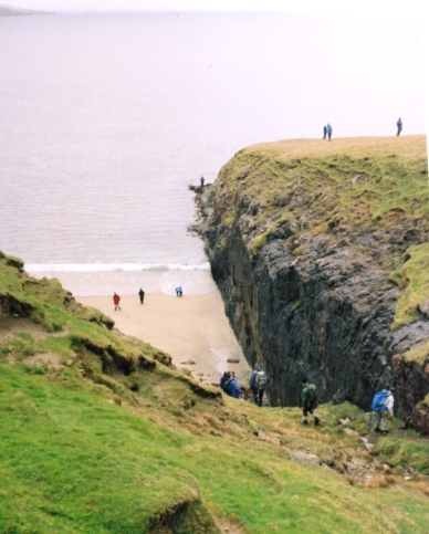
Ayre of Queyfirth is renowned for its stunning natural beauty and tranquil atmosphere. The beach is characterized by its pristine white sand and crystal-clear turquoise waters, which are framed by rugged cliffs and rolling green hills. Visitors are greeted by a breathtaking panorama of the surrounding landscape, making it a popular spot for photographers and nature enthusiasts.

The beach offers a wide range of activities for visitors to enjoy. The calm waters make it ideal for swimming and paddling, while the soft sand is perfect for sunbathing and beach games. Ayre of Queyfirth is also a great place for birdwatching, as it attracts a variety of seabirds, including puffins, guillemots, and fulmars.

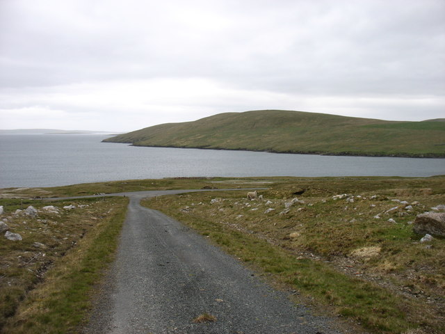
For those looking to explore the area further, there are several walking trails that lead from the beach, offering stunning views of the coastline and nearby cliffs. The beach is easily accessible by car, with a small parking area available nearby.

Overall, Ayre of Queyfirth is a hidden gem in the Shetland Isles, offering a tranquil escape and breathtaking natural beauty. Whether you are looking to relax on the beach, explore the surrounding trails, or observe the local wildlife, this beach has something to offer for everyone.

If you have any feedback on the listing, please let us know in the comments section below.

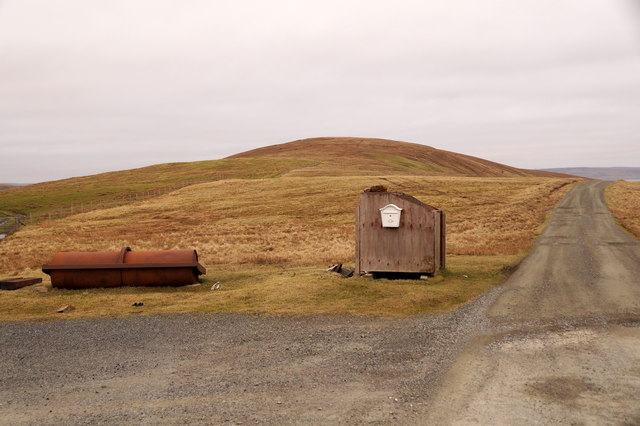
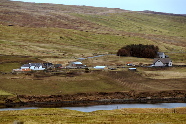
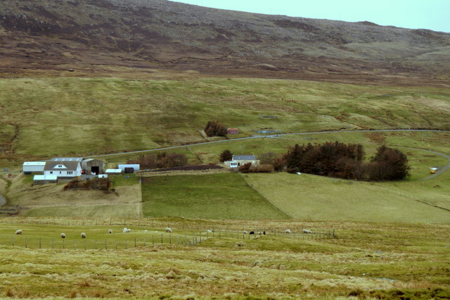
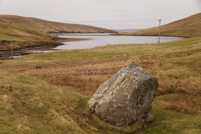
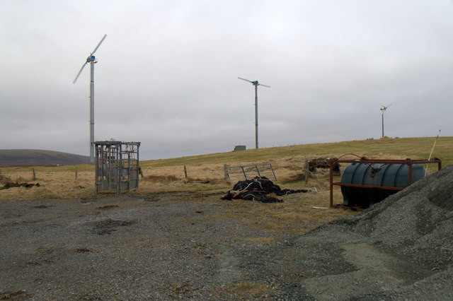
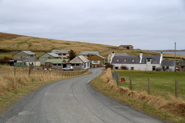
Ayre of Queyfirth Images

Images are sourced within 2km of 60.519481/-1.3507224 or Grid Reference HU3581. Thanks to Geograph Open Source API. All images are credited.

The end of the road at Queyfirth Three tracks continue, two heading to houses.
The end of the road at Queyfirth
Three tracks continue, two heading to houses.
North Collafirth from Queyfirth
South Collafirth from Queyfirth
Loch of Queyfirth from Greystane It should be obvious how the adjacent house gets its name.
Loch of Queyfirth from Greystane
It should be obvious how the adjacent house gets its name.
Loch of Queyfirth from Hill of Ollaberry The loch is really an arm of the sea, with an outflow at low tide and the sea encroaching at high tide.
Loch of Queyfirth from Hill of Ollaberry
The loch is really an arm of the sea, with an outflow at low tide and the sea encroaching at high tide.
Blythoid, Ollaberry Looking across Yell Sound to Sullom Voe Terminal.
Blythoid, Ollaberry
Looking across Yell Sound to Sullom Voe Terminal.
Wind turbines on Hill of Ollaberry
Runnadale, Ollaberry Small housing estate at the end of the road.
Runnadale, Ollaberry
Small housing estate at the end of the road.
The track from Collafirth Hill Joining the A970 above Colla Firth.
The track from Collafirth Hill
Joining the A970 above Colla Firth.
The A970 at South Collafirth
Rough grazing by the A970
North Collafirth View along the A970 at North Collafirth
North Collafirth
View along the A970 at North Collafirth
A970 South Collafirth
Colla Firth Looking across Colla Firth, which is just under 1km across so both sides are in the square, to Ness of Queyfirth.
Colla Firth
Looking across Colla Firth, which is just under 1km across so both sides are in the square, to Ness of Queyfirth.
Blythot, Ollaberry, Shetland Picture taken at Blythot, above Ollaberry, looking over East Ness to Gluss Isle in Sullom Voe. Sullom Voe Oil Terminal is in the background
Blythot, Ollaberry, Shetland
Picture taken at Blythot, above Ollaberry, looking over East Ness to Gluss Isle in Sullom Voe. Sullom Voe Oil Terminal is in the background
Bay of Ollaberry The B9079 leads to this small village at the northern end of the Shetland Mainland.
Bay of Ollaberry
The B9079 leads to this small village at the northern end of the Shetland Mainland.
Loch of Queyfirth, Shetland If you take the road from Upper Ollaberry signposted Leon you come over the ridge to the west the Hill of Ollaberry and are greeted with this view of the Loch of Queyfirth and Quey Firth.
Loch of Queyfirth, Shetland
If you take the road from Upper Ollaberry signposted Leon you come over the ridge to the west the Hill of Ollaberry and are greeted with this view of the Loch of Queyfirth and Quey Firth.
Saberstone This spectacular cliff is part of the Walls Boundary Fault, which cuts Shetland from north to south and may be the continuation of the Great Glen Fault in Scotland.
Saberstone
This spectacular cliff is part of the Walls Boundary Fault, which cuts Shetland from north to south and may be the continuation of the Great Glen Fault in Scotland.
Show me another place!

Ayre of Queyfirth is located at Grid Ref: HU3581 (Lat: 60.519481, Lng: -1.3507224)

Unitary Authority: Shetland Islands

Police Authority: Highlands and Islands

What 3 Words

///devalued.operation.chuckling. Near Toft, Shetland Islands

Related Wikis

Ollaberry

Ollaberry (Old Norse: Olafrsberg, meaning Olaf's Hill) is a village on Mainland, Shetland, Scotland on the west shore of Yell Sound, 10.9 miles (17.5 km...

Voe, Northmavine

Voe is a settlement on the Northmavine peninsula of Mainland, Shetland, Scotland. It is at the head of Ronas Voe and just off the A970 road. == Whaling... ==

Lamba, Shetland

Lamba is an uninhabited island in Yell Sound in Shetland. It lies 1.5 km (0.93 mi) north of the entrance to the Sullom Voe inlet and 1.4 kilometres (0...

Northmavine

Northmavine or Northmaven (Old Norse: Norðan Mæfeið, meaning ‘the land north of the Mavis Grind’) is a peninsula in northwest Mainland Shetland in Scotland...

Eela Water

Eela Water is a freshwater loch (lake) in Northmavine, part of the mainland of Shetland in Scotland. Besides being a freshwater fishing location, the site...

Little Roe

Little Roe is an island in Yell Sound in the Shetland Islands == History == The island's name is Norse in origin, from Rauðey Litla, meaning "small red...

Battle of Ronas Voe

The Battle of Ronas Voe was a naval engagement between the English Royal Navy and the Dutch East India ship Wapen van Rotterdam on 14 March 1674 in Ronas...

Ronas Hill

Ronas Hill (or Rönies Hill) is a hill in Shetland, Scotland. It is classed as a Marilyn, and is the highest point in the Shetland Islands at an elevation...

Nearby Amenities

Located within 500m of 60.519481,-1.3507224
Power: pole
Lat/Long: 60.5232756/-1.3519197
Power: pole
Lat/Long: 60.52287/-1.3526699
Power: pole
Lat/Long: 60.5224407/-1.3534824
Power: pole
Lat/Long: 60.5219937/-1.3543332
Power: pole
Lat/Long: 60.5214288/-1.3554117
Power: pole
Lat/Long: 60.5210868/-1.3560635
Power: pole
Lat/Long: 60.5208414/-1.3565309
Power: pole
Lat/Long: 60.5205218/-1.3568472
Power: pole
Lat/Long: 60.5199581/-1.3574704
Power: pole
Lat/Long: 60.5196573/-1.3586088
Power: pole
Lat/Long: 60.5193483/-1.3598383
The data included in this document is from www.openstreetmap.org. The data is made available under ODbL.

Have you been to Ayre of Queyfirth?

Leave your review of Ayre of Queyfirth below (or comments, questions and feedback).