Ayres of Corse
Beach in Shetland
Scotland
Ayres of Corse
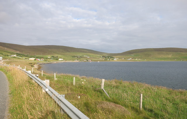
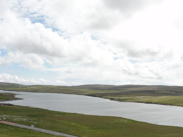
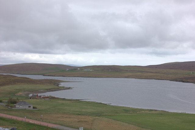
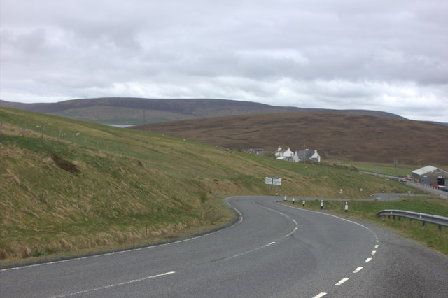
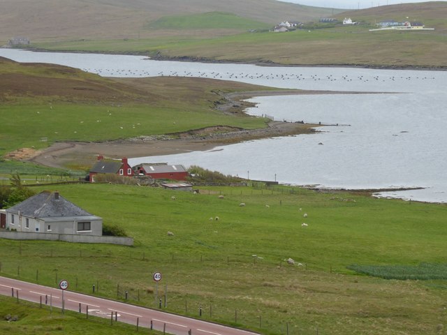
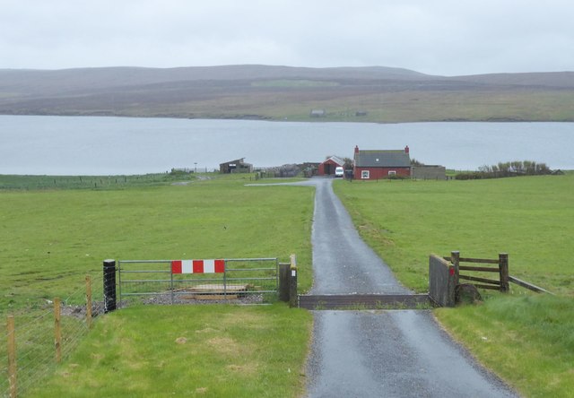
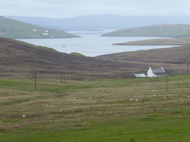
Ayres of Corse is a picturesque beach located in the Shetland Islands, Scotland. Situated on the east coast of the island of Mainland, it is known for its stunning natural beauty and tranquil atmosphere. The beach stretches for approximately 1.5 kilometers and is composed of soft golden sand, making it a popular destination for both locals and tourists.
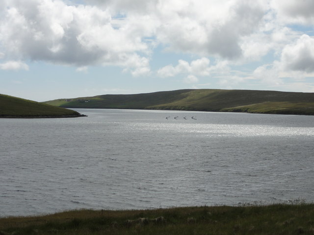
One of the standout features of Ayres of Corse is its crystal-clear turquoise waters, which are ideal for swimming, snorkeling, and other water activities. The beach offers breathtaking views of the North Sea, with its pristine waves crashing against the shore. The area is also home to a diverse range of wildlife, including seals, seabirds, and even occasional sightings of orcas and dolphins.
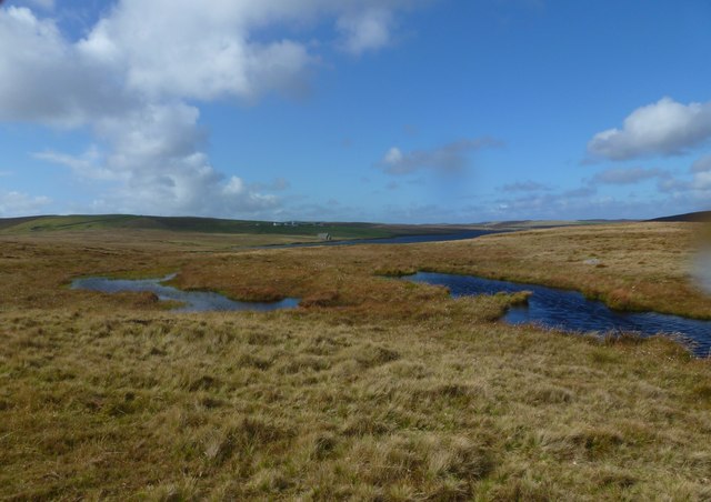
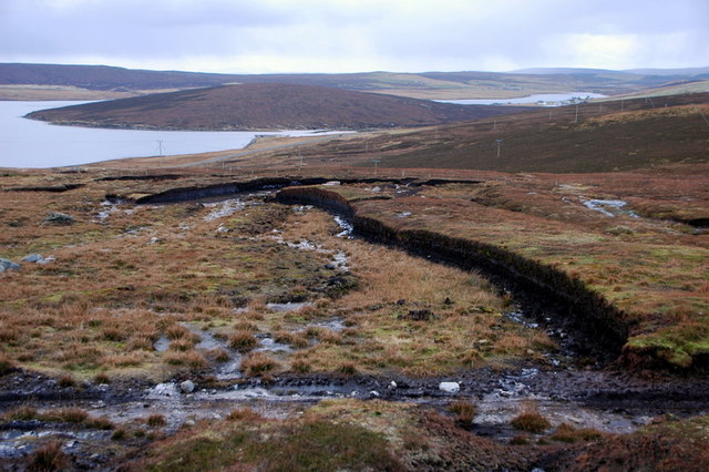
Ayres of Corse is the perfect place for nature enthusiasts, as it boasts a rich and diverse ecosystem. The surrounding dunes and grasslands are teeming with wildflowers and contribute to the overall scenic beauty of the beach. Visitors can take leisurely walks along the sand, exploring the nearby sand dunes and observing the abundant flora and fauna.
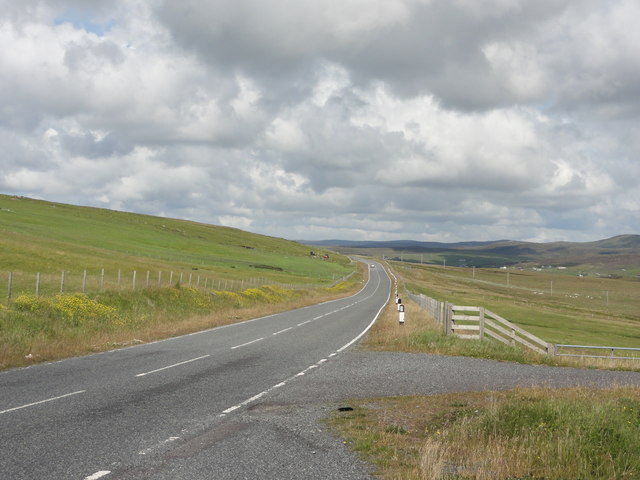
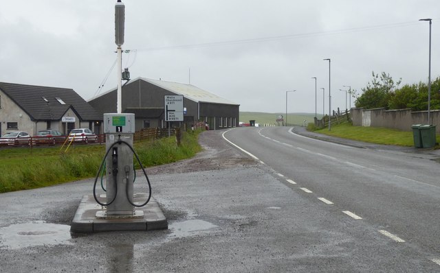
Facilities at Ayres of Corse include a small car park, picnic area, and public toilets, ensuring visitors have everything they need for a comfortable and enjoyable visit. The beach is easily accessible and is located just a short drive away from the town of Lerwick, making it a convenient option for both day trips and longer stays.
Overall, Ayres of Corse is a hidden gem in the Shetland Islands, offering a peaceful and idyllic escape surrounded by stunning natural landscapes.
If you have any feedback on the listing, please let us know in the comments section below.
Ayres of Corse Images
Images are sourced within 2km of 60.248877/-1.3822048 or Grid Reference HU3451. Thanks to Geograph Open Source API. All images are credited.


Ayres of Corse is located at Grid Ref: HU3451 (Lat: 60.248877, Lng: -1.3822048)
Unitary Authority: Shetland Islands
Police Authority: Highlands and Islands
What 3 Words
///unsettled.decay.remotest. Near Aith, Shetland Islands
Nearby Locations
Related Wikis

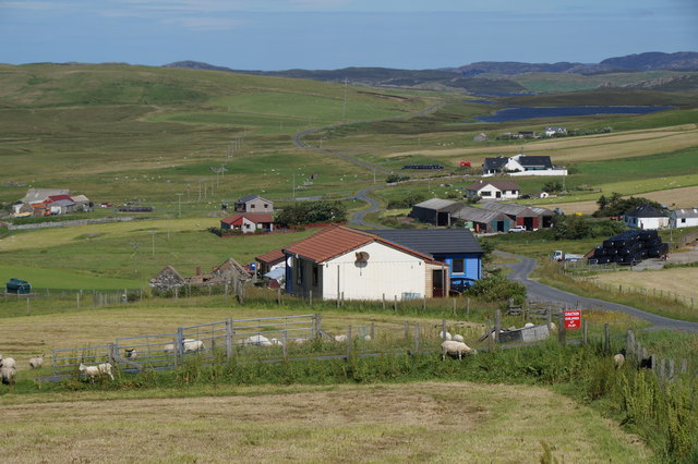
Bixter
Bixter is a village on the west side of the Shetland Islands, located more than 160 km (99 mi) off the north coast of mainland Scotland. Bixter is a group...

Westerfield, Shetland
Westerfield is a coastal community on Mainland, in Shetland, Scotland. The community is within the parish of Sandsting.It lies to the west of Tresta on...
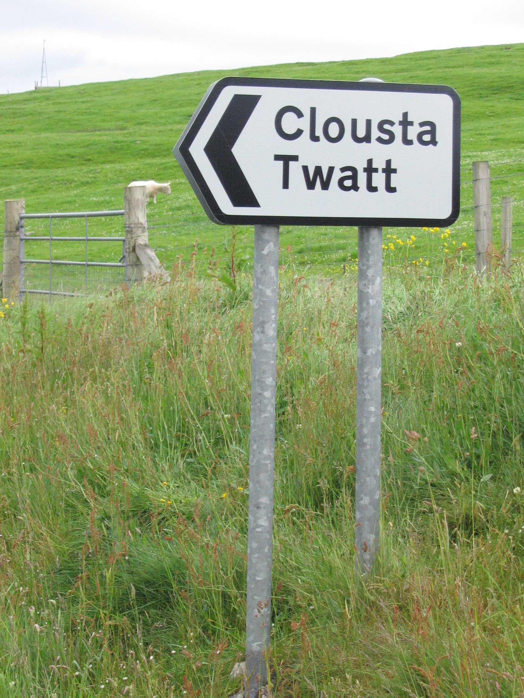
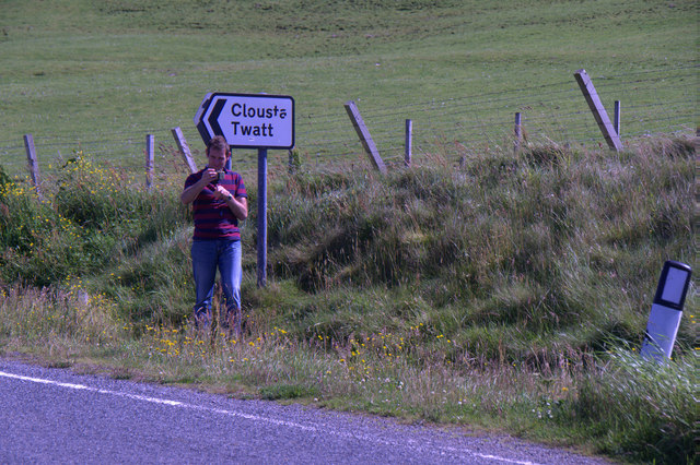
Twatt, Shetland
Twatt is a settlement in the Shetland Islands of Scotland. It is located on the Shetland Mainland on a minor road that leads from the A971 road to Clousta...
Park Hall, Shetland
Park Hall is a derelict laird's house situated west of the village of Bixter, in the parish of Sandsting on the Mainland of Shetland, Scotland. It has...

Sandsting
Sandsting is a parish in the West Mainland of Shetland, Scotland, forming a southern arm of the Walls Peninsula. After the parish of Aithsting was annexed...
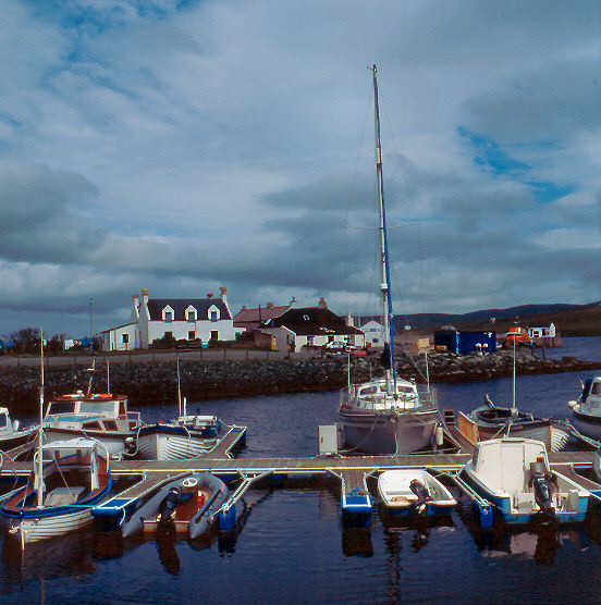
Aith
Aith, (Shetland dialect: Eid, Old Norse: Eið, meaning Isthmus, cf Eday), is a village on the Northern coast of the West Shetland Mainland, Scotland at...

Greena
Greena is a small island off the west coast of Mainland, Shetland. It is 10m at its highest point, and is north of Flotta, Shetland. It is in Weisdale...

Weisdale Mill
Weisdale Mill is a watermill in the village of Weisdale, Shetland, Scotland. It is located near the head of Weisdale Voe on the west of the island, a twenty...
Nearby Amenities
Located within 500m of 60.248877,-1.3822048Have you been to Ayres of Corse?
Leave your review of Ayres of Corse below (or comments, questions and feedback).