Sands of Odie
Beach in Orkney
Scotland
Sands of Odie
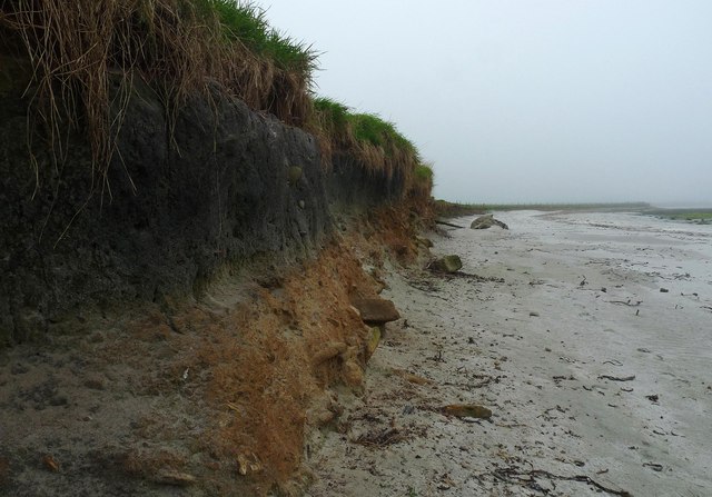
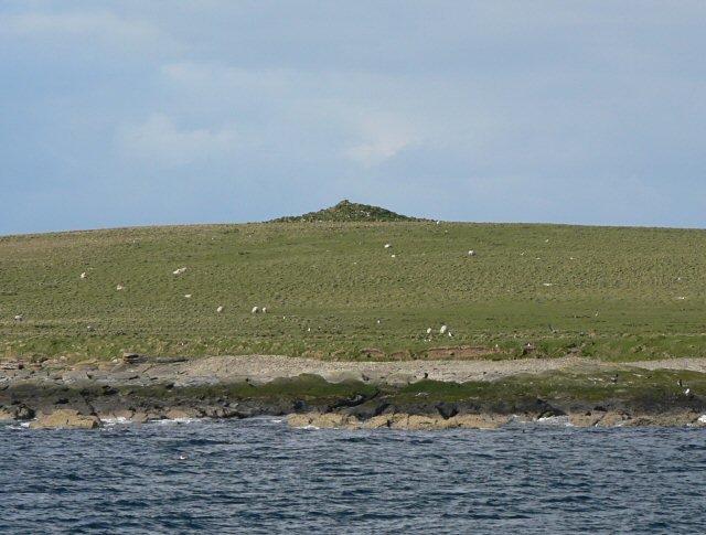
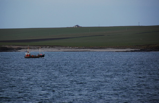
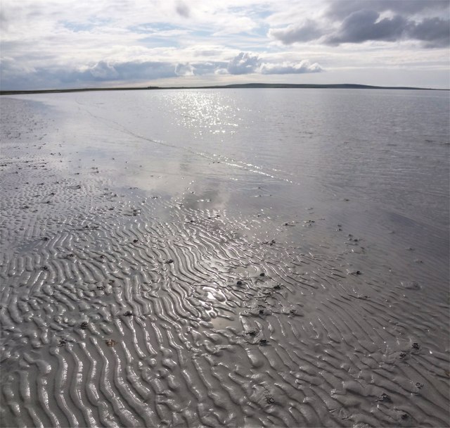
Sands of Odie is a picturesque beach located in the Orkney Islands, an archipelago situated off the northeastern coast of Scotland. This beautiful stretch of coastline is known for its pristine sandy shores and crystal-clear turquoise waters. The beach is nestled between the villages of Birsay and Evie, offering visitors a tranquil and idyllic setting to relax and unwind.
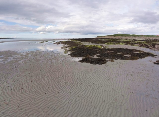
With its vast expanse of fine golden sand, Sands of Odie provides ample space for beachgoers to enjoy various activities such as sunbathing, picnicking, or building sandcastles. The beach is also a popular spot for walking and exploring, as it boasts stunning views of the surrounding cliffs, dunes, and grassy hills.
Nature enthusiasts will appreciate the rich biodiversity found in the area, with a wide array of seabirds, including puffins and guillemots, often seen soaring above the cliffs. The beach is also frequented by seals, which can sometimes be spotted lounging on the rocks or swimming in the water.
Sands of Odie offers a peaceful and untouched environment, making it an ideal destination for those seeking a break from the hustle and bustle of city life. Its remote location provides a sense of seclusion and tranquility, allowing visitors to connect with nature and enjoy the serenity of the surroundings.
Overall, Sands of Odie is a hidden gem within the Orkney Islands, offering visitors a serene and unspoiled beach experience amidst breathtaking natural beauty.
If you have any feedback on the listing, please let us know in the comments section below.
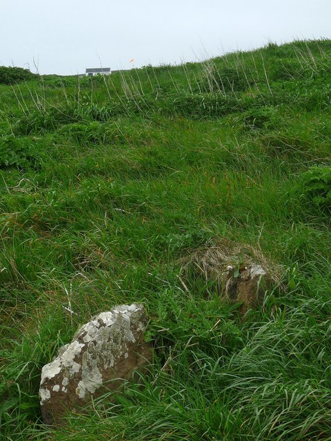
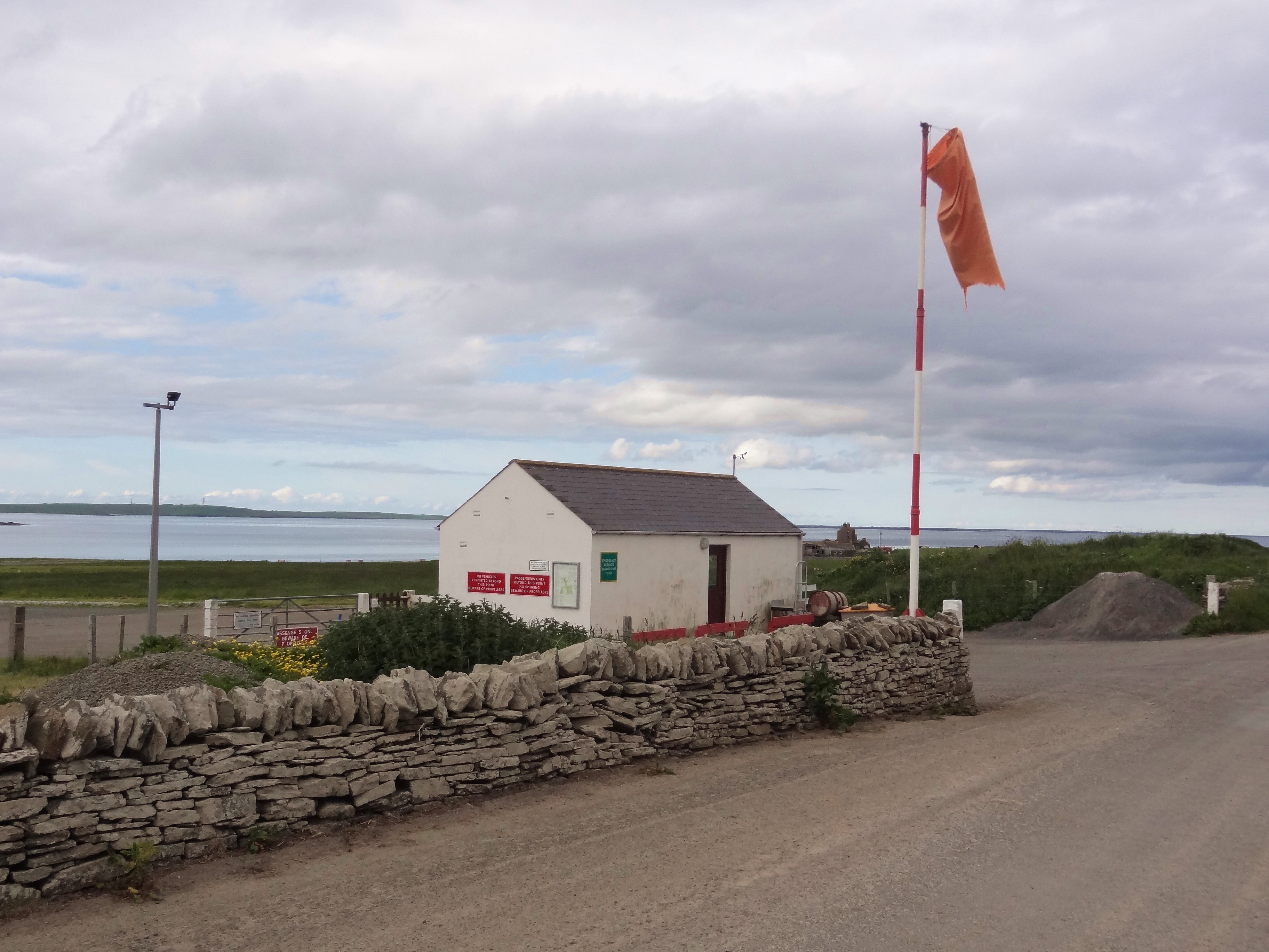
Sands of Odie Images
Images are sourced within 2km of 59.154063/-2.6493365 or Grid Reference HY6229. Thanks to Geograph Open Source API. All images are credited.


Sands of Odie is located at Grid Ref: HY6229 (Lat: 59.154063, Lng: -2.6493365)
Unitary Authority: Orkney Islands
Police Authority: Highlands and Islands
What 3 Words
///identify.triangles.womb. Near Whitehall, Orkney Islands
Nearby Locations
Related Wikis
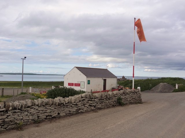
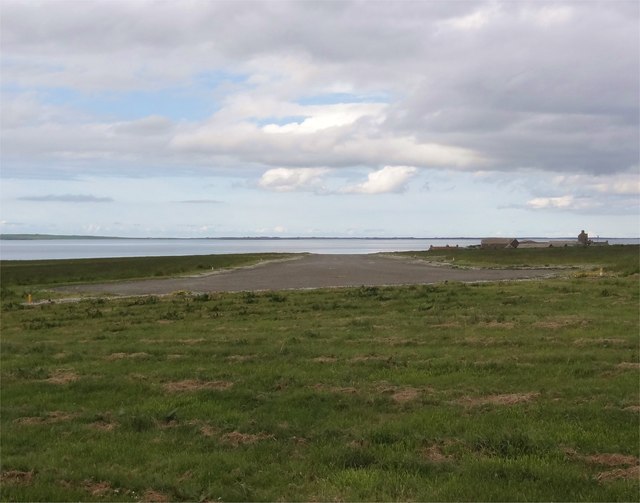
Stronsay Airport
Stronsay Airport (IATA: SOY, ICAO: EGER) is located 15 nautical miles (28 km; 17 mi) northeast by north of Kirkwall Airport on Stronsay, Orkney Islands...

Holm of Huip
The Holm of Huip is a small island in the Orkney Islands, in Spurness Sound to the north west of Stronsay. The Holm has a cairn on it, and a number of...

Linga Sound, Orkney
Linga Sound is the strait between the islands of Linga Holm and Stronsay in the Orkney islands of Scotland. It leads into St. Catherines Bay from the north...

Linga Holm
Linga Holm, commonly known as Linga, Midgarth and the Holm of Midgarth is an uninhabited Scottish island extending to approximately 57 hectares (0.22...
Nearby Amenities
Located within 500m of 59.154063,-2.6493365Have you been to Sands of Odie?
Leave your review of Sands of Odie below (or comments, questions and feedback).