Peffer Sands

Beach in East Lothian

Scotland

Peffer Sands

Across Car Rocks Bass Rock as seen across Car Rocks from near Seacliff Tower - a log washed up by the tide looks almost like some modern sculpture.
Across Car Rocks Credit: Adam Ward

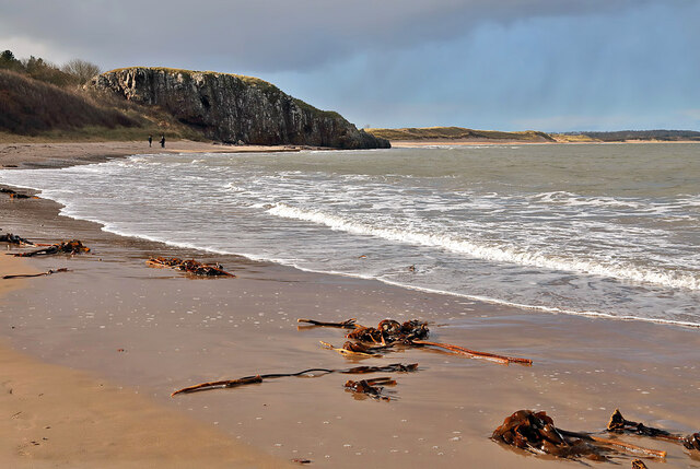
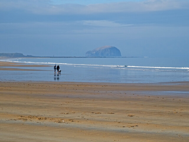
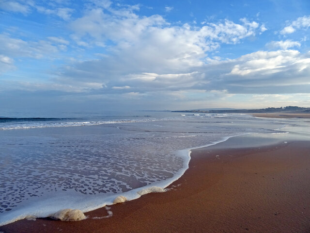
Peffer Sands is a picturesque beach located in East Lothian, Scotland. Stretching for approximately 2 miles along the coast, this sandy beach offers visitors a tranquil and serene environment to enjoy the natural beauty of the area.

The beach is easily accessible and is situated near the charming village of Prestonpans. It is a popular spot for locals and tourists alike, offering ample parking facilities nearby. The beach is also easily reachable via public transportation, with regular bus services running to the area.

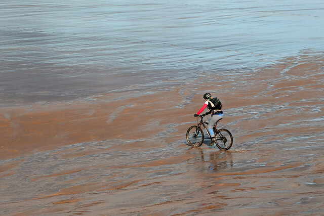
Peffer Sands is known for its clean and pristine shoreline, making it a great place for beachcombing, sunbathing, and relaxing. The sand is soft and golden, providing a comfortable base for beachgoers to lay out towels and soak up the sun. The water is generally calm, making it suitable for swimming and paddling, especially during high tide.

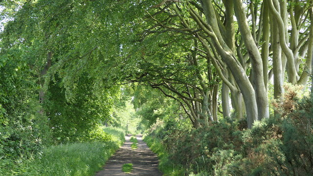
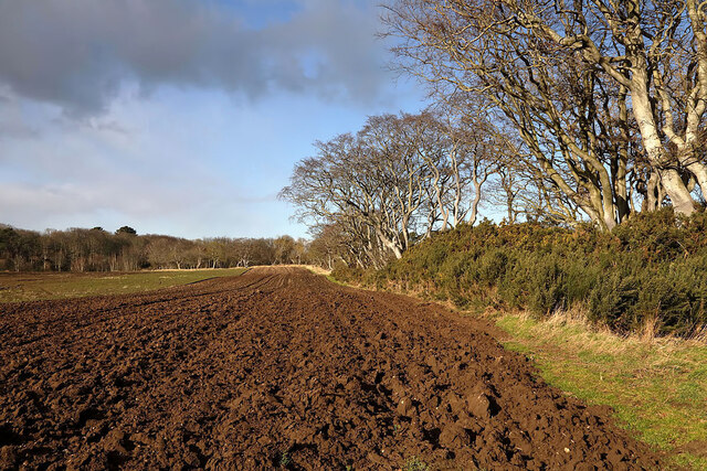
The beach is backed by sand dunes, which not only add to its scenic beauty but also provide shelter from the wind. Nature lovers will appreciate the diverse flora and fauna found in and around the dunes, making it an ideal spot for birdwatching and nature walks.

Peffer Sands offers stunning panoramic views of the East Lothian coastline and the Firth of Forth, making it a popular spot for photographers and artists. The beach also serves as a starting point for coastal walks, with paths leading to nearby attractions such as the Prestongrange Industrial Heritage Museum.

Overall, Peffer Sands is a beautiful and tranquil beach that offers visitors a chance to relax, enjoy the natural surroundings, and take in breathtaking views of the East Lothian coastline.

If you have any feedback on the listing, please let us know in the comments section below.

Peffer Sands Images

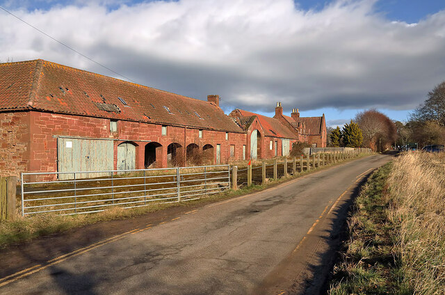
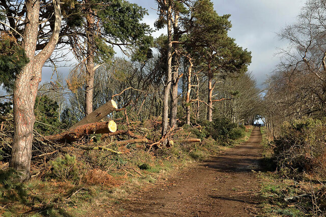
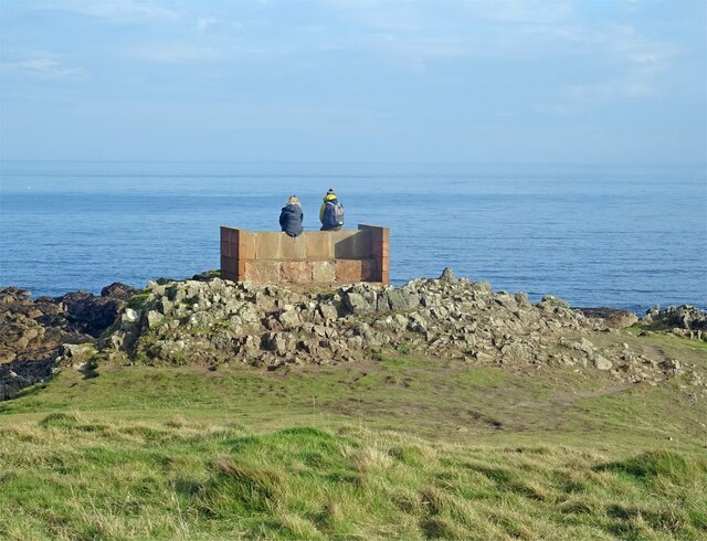
Images are sourced within 2km of 56.034936/-2.6073616 or Grid Reference NT6282. Thanks to Geograph Open Source API. All images are credited.

Across Car Rocks Bass Rock as seen across Car Rocks from near Seacliff Tower - a log washed up by the tide looks almost like some modern sculpture.
Across Car Rocks
Bass Rock as seen across Car Rocks from near Seacliff Tower - a log washed up by the tide looks almost like some modern sculpture.
Beeches, Tyninghame Links Beside a farm road.
Beeches, Tyninghame Links
Beside a farm road.
Road, Tyninghame Links A lot quieter than the other tracks from the car park, it leads to the Tyne estuary.
Road, Tyninghame Links
A lot quieter than the other tracks from the car park, it leads to the Tyne estuary.
Farmland at Tyninghame
Black-headed gulls at Bathan’s Strand The gulls, in winter plumage, were viewed from the edge of Links Wood on the Tyninghame Estate.
Black-headed gulls at Bathan’s Strand
The gulls, in winter plumage, were viewed from the edge of Links Wood on the Tyninghame Estate.
Oyster catchers in flight at Bathan’s Strand The birds were viewed from the edge of Links Wood on the Tyninghame Estate.
Oyster catchers in flight at Bathan’s Strand
The birds were viewed from the edge of Links Wood on the Tyninghame Estate.
High tide at Bathan’s Strand
Ravensheugh Sands A lone cyclist is heading towards Peffer Sands at low tide. The Bass Rock is in the background to the left.
Ravensheugh Sands
A lone cyclist is heading towards Peffer Sands at low tide. The Bass Rock is in the background to the left.
Cycling on Ravensheugh Sands at low tide For a wider view of the sands, see <a href="https://www.geograph.org.uk/photo/7103279">NT6281 : Ravensheugh Sands</a>.
Cycling on Ravensheugh Sands at low tide
For a wider view of the sands, see NT6281 : Ravensheugh Sands.
Tyninghame Links This is a disused farmhouse and steading on the Tyninghame Estate.
Tyninghame Links
This is a disused farmhouse and steading on the Tyninghame Estate.
Ravensheugh Sands at low tide This is a view towards Peffer Sands and the Bass Rock.
Ravensheugh Sands at low tide
This is a view towards Peffer Sands and the Bass Rock.
A road at Brownrig Wood This is at the northeast end of the wood with evidence of recent storm damage.
A road at Brownrig Wood
This is at the northeast end of the wood with evidence of recent storm damage.
St Baldred's Cradle It is a lovely day on coastal East Lothian and this couple are enjoying a rest and the view from the stone seat at the headland known as St Baldred's Cradle.
St Baldred's Cradle
It is a lovely day on coastal East Lothian and this couple are enjoying a rest and the view from the stone seat at the headland known as St Baldred's Cradle.
Walking the Dog at Ravensheugh This couple and their dog are enjoying a walk on Ravensheugh Sands at low tide.
Bass Rock can be seen in the distance.
Walking the Dog at Ravensheugh
This couple and their dog are enjoying a walk on Ravensheugh Sands at low tide. Bass Rock can be seen in the distance.
Peffer Sands Although February it feels like spring on Peffer Sands as the tide has turned and starts to come in.
Peffer Sands
Although February it feels like spring on Peffer Sands as the tide has turned and starts to come in.
Heading to the Rock This couple appear to be heading to the Bass Rock. Of course they can't as there is about 1.5 miles of open sea to get to the rock as well as 2 miles of rough coastline. On Peffer Sands near Ravensheugh.
Heading to the Rock
This couple appear to be heading to the Bass Rock. Of course they can't as there is about 1.5 miles of open sea to get to the rock as well as 2 miles of rough coastline. On Peffer Sands near Ravensheugh.
Brownrig wood The rhododendron had been cut back from the track.
Brownrig wood
The rhododendron had been cut back from the track.
Cut back gorse, Brownrig Wood The clearing has been opened up a bit.
Cut back gorse, Brownrig Wood
The clearing has been opened up a bit.
Show me another place!

Peffer Sands is located at Grid Ref: NT6282 (Lat: 56.034936, Lng: -2.6073616)

Unitary Authority: East Lothian

Police Authority: The Lothians and Scottish Borders

What 3 Words

///dealings.hobbyists.putty. Near East Linton, East Lothian

Nearby Locations

Peffer Sands

Related Wikis

Seacliff

Seacliff comprises a beach, an estate and a harbour. It lies 4 miles (6 kilometres) east of North Berwick, East Lothian, Scotland. == History == The beach...

Whitekirk

Whitekirk is a small settlement in East Lothian, Scotland. Together with the nearby settlement of Tyninghame, it gives its name to the parish of Whitekirk...

Whitekirk and Tyninghame

Whitekirk and Tyninghame is a civil parish in East Lothian, Scotland, which takes its name from the two small settlements of Whitekirk and Tyninghame....

Tyninghame House

Tyninghame House is a mansion in East Lothian, Scotland. It is located by the mouth of the River Tyne, 2⁄3-mile (1.1 km) east of Tyninghame, and 3+3⁄4...

Nearby Amenities

Located within 500m of 56.034936,-2.6073616
The data included in this document is from www.openstreetmap.org. The data is made available under ODbL.

Have you been to Peffer Sands?

Leave your review of Peffer Sands below (or comments, questions and feedback).