Castle Haven
Beach in Fife
Scotland
Castle Haven
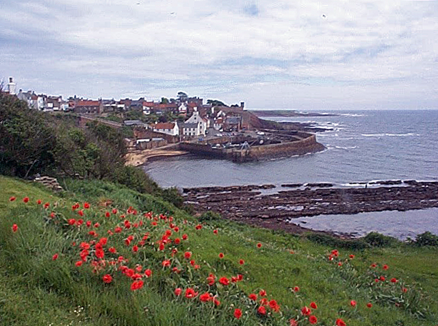
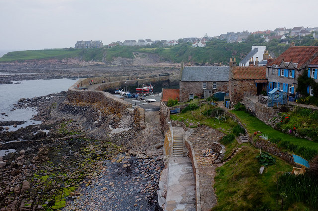
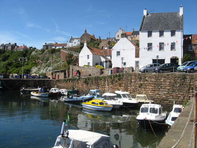
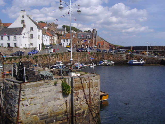
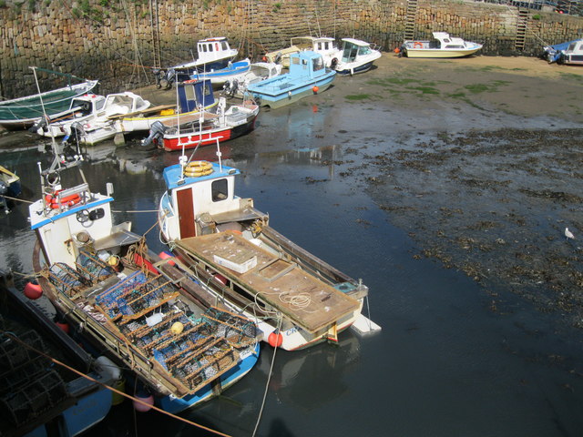
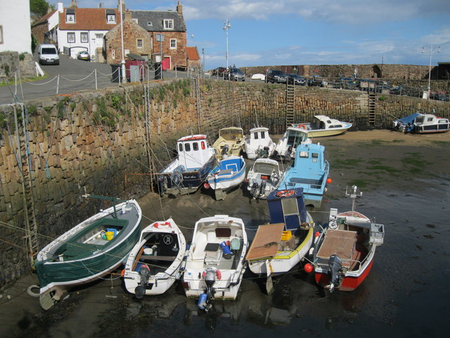
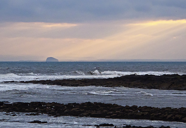
Castle Haven is a picturesque beach located in the historic village of Lower Largo, in the region of Fife, Scotland. Situated on the east coast of Scotland, this sandy shore stretches about 200 meters in length and is nestled between two rocky outcrops, providing a sheltered and secluded atmosphere for visitors.
The beach takes its name from the nearby Largo Castle ruins, which add a touch of medieval charm to the surroundings. With its stunning views of the Firth of Forth, Castle Haven offers visitors a tranquil and relaxing escape from the hustle and bustle of everyday life.
The beach is known for its clean and well-maintained sands, offering visitors the perfect spot for sunbathing, picnicking, or simply enjoying a leisurely stroll along the shore. The waters of the Firth of Forth are generally calm, making it an ideal location for swimming and paddling, especially for families with young children.
The area surrounding Castle Haven is rich in wildlife, providing a haven for bird-watchers and nature enthusiasts. It is not uncommon to spot seabirds such as gulls and cormorants, as well as seals and dolphins swimming in the waters nearby.
Castle Haven benefits from excellent facilities, including a car park, public toilets, and nearby cafes and restaurants. The village of Lower Largo itself offers a range of amenities, including shops, pubs, and accommodations, making it an attractive destination for both locals and tourists alike.
In summary, Castle Haven in Fife is a charming and peaceful beach, offering visitors an idyllic coastal retreat with its beautiful sands, breathtaking views, and abundant wildlife.
If you have any feedback on the listing, please let us know in the comments section below.
Castle Haven Images
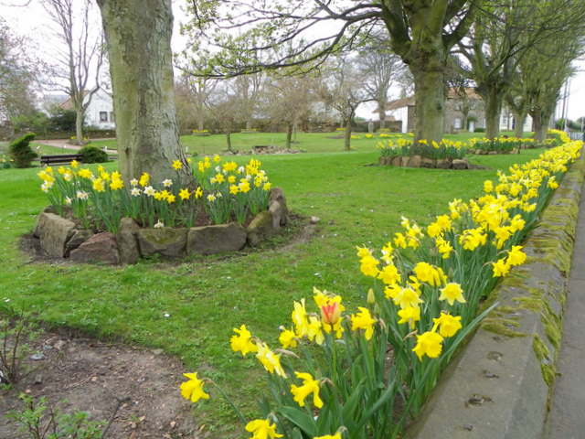
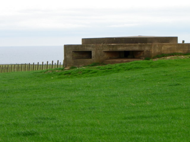
Images are sourced within 2km of 56.252917/-2.6299837 or Grid Reference NO6106. Thanks to Geograph Open Source API. All images are credited.

Castle Haven is located at Grid Ref: NO6106 (Lat: 56.252917, Lng: -2.6299837)
Unitary Authority: Fife
Police Authority: Fife
What 3 Words
///putty.offstage.encounter. Near Crail, Fife
Nearby Locations
Related Wikis

Crail Castle
Crail Castle was a castle that was located in Crail, Fife, Scotland. Crail became a Royal Burgh in the 12th century. The castle was frequented by King...

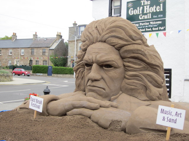
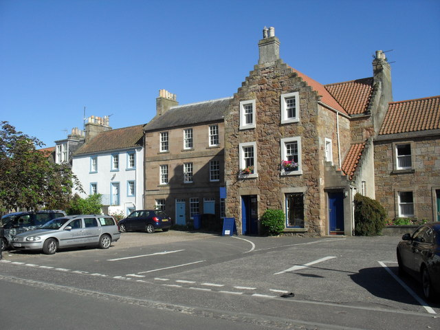
Golf Hotel
The Golf Hotel is a hotel and restaurant in Crail, Fife, Scotland. It is a Category A listed building dating to the early 18th century, although one source...
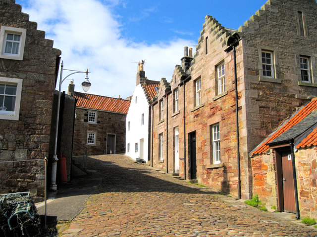
Crail
Crail (); Scottish Gaelic: Cathair Aile) is a former royal burgh, parish and community council area (Royal Burgh of Crail and District) in the East Neuk...

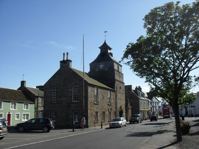
Crail Tolbooth and Town Hall
Crail Tolbooth and Town Hall is a municipal structure in Crail, Fife, Scotland. The building, which stands in Marketgate, at its junction with Tolbooth...
Nearby Amenities
Located within 500m of 56.252917,-2.6299837Have you been to Castle Haven?
Leave your review of Castle Haven below (or comments, questions and feedback).