Barry Sands
Beach in Angus
Scotland
Barry Sands

Barry Sands, Angus (Beach) is a picturesque coastal location situated in Angus, Scotland. Known for its stunning sandy beach and charming surroundings, it is a popular destination for both locals and tourists alike.
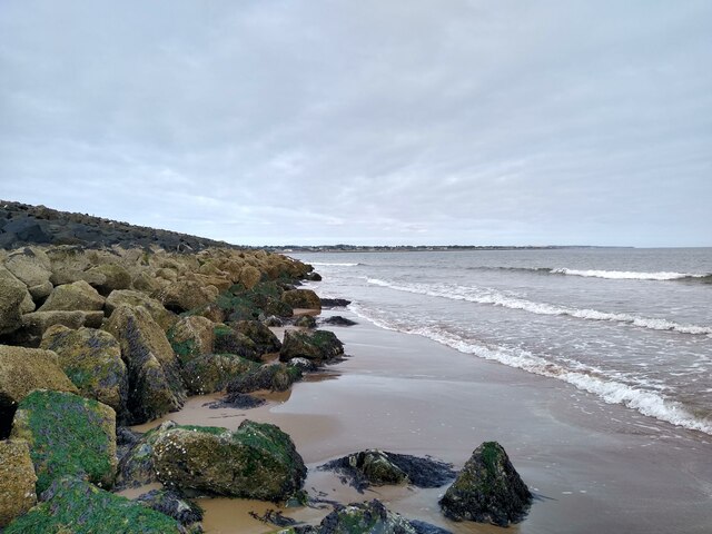
The beach stretches over a mile long and is characterized by its soft golden sand, making it an ideal spot for sunbathing, picnicking, and leisurely strolls. The clear blue waters of the North Sea provide a refreshing dip for beachgoers, and the gentle waves make it a suitable location for swimming and water sports.
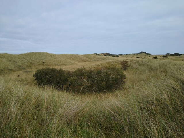
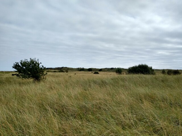
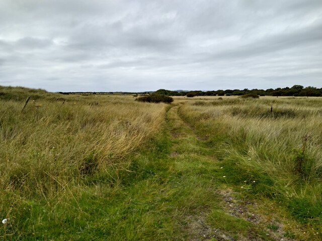
Surrounded by rolling sand dunes, Barry Sands offers a peaceful and serene atmosphere. These dunes not only add to the beauty of the beach but also provide a natural barrier against coastal erosion. The area is home to a diverse range of flora and fauna, including various species of seabirds and wildflowers that add vibrant colors to the landscape.
Facilities at Barry Sands, Angus (Beach) are well-maintained, with nearby parking areas, public toilets, and picnic spots. Lifeguards are present during peak seasons, ensuring the safety of visitors. The beach is also wheelchair accessible, making it inclusive for all.
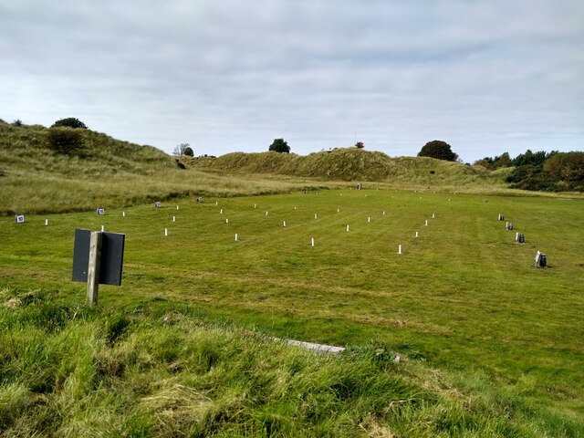
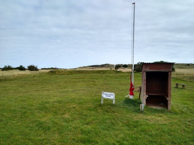
Beyond its natural beauty, the beach has historical significance as well. It is believed that the Vikings landed on these shores during their invasions of Scotland. Furthermore, remnants of World War II defenses can still be seen along the beach, adding an intriguing element to the area's rich history.
Overall, Barry Sands, Angus (Beach) offers a tranquil retreat where visitors can immerse themselves in nature, enjoy recreational activities, and appreciate the unique blend of natural beauty and historical significance.
If you have any feedback on the listing, please let us know in the comments section below.
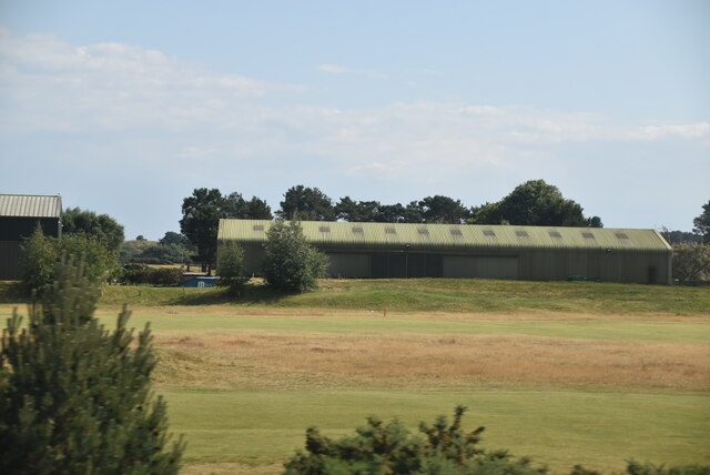
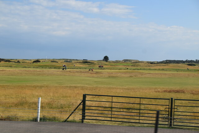
Barry Sands Images
Images are sourced within 2km of 56.481062/-2.7182851 or Grid Reference NO5532. Thanks to Geograph Open Source API. All images are credited.


Barry Sands is located at Grid Ref: NO5532 (Lat: 56.481062, Lng: -2.7182851)
Unitary Authority: Angus
Police Authority: Tayside
What 3 Words
///providing.reeling.pursuit. Near Carnoustie, Angus
Nearby Locations
Related Wikis

Barry Burn
The Barry Burn, otherwise known as Pitairlie Burn is a minor river in Angus, Scotland. It rises in the eastern portion of the Sidlaw Hills and flows past...

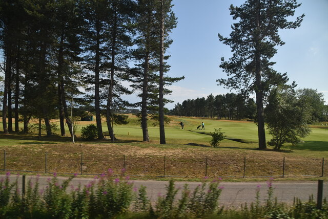
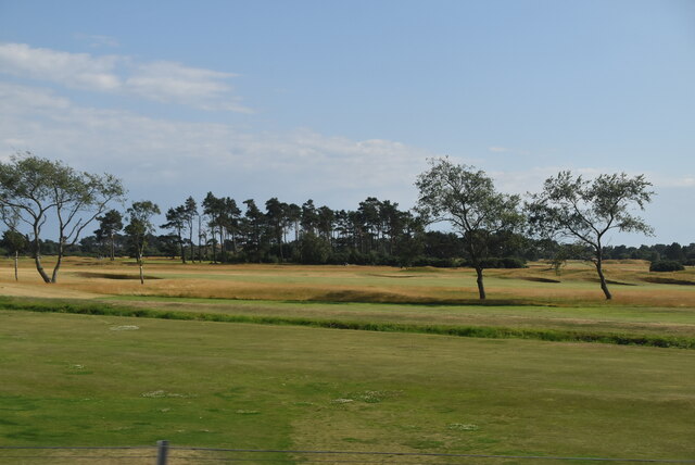
1975 Open Championship
The 1975 Open Championship was the 104th Open Championship, played 9–13 July at Carnoustie Golf Links in Scotland. In his first Open, Tom Watson won an...
1999 Open Championship
The 1999 Open Championship was a men's major golf championship and the 128th Open Championship, held from 15 to 18 July at the Carnoustie Golf Links in...
2010 Senior Open Championship
The 2010 Senior Open Championship was a senior major golf championship and the 24th Senior Open Championship, held from 22–25 July at Carnoustie Golf Links...
Nearby Amenities
Located within 500m of 56.481062,-2.7182851Have you been to Barry Sands?
Leave your review of Barry Sands below (or comments, questions and feedback).