Fisherrow Sands
Beach in Midlothian
Scotland
Fisherrow Sands
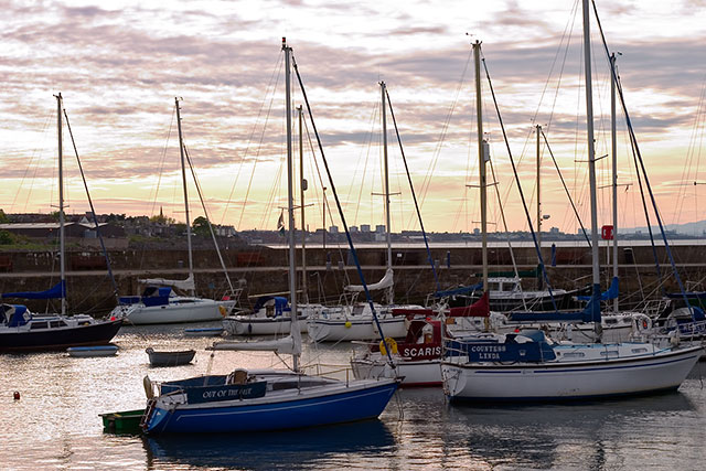
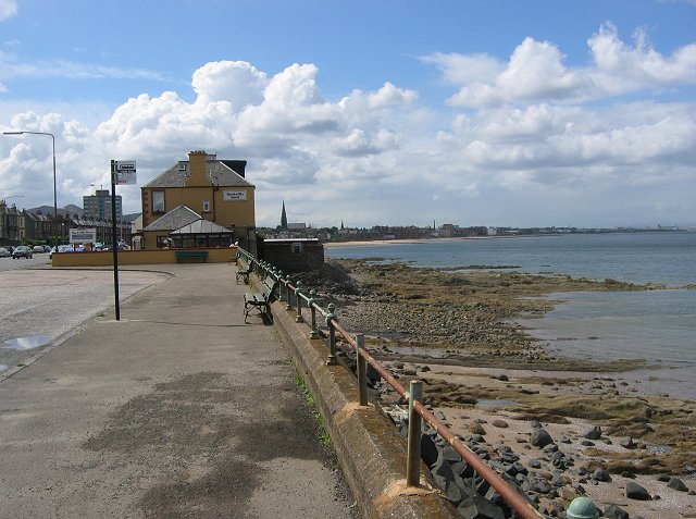
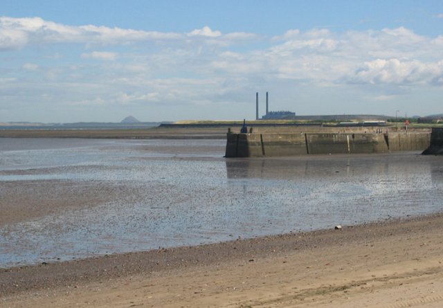
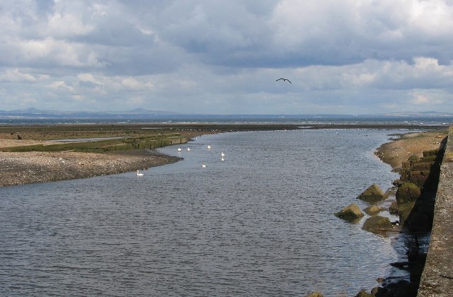
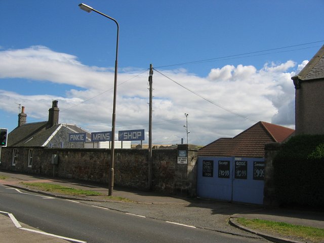
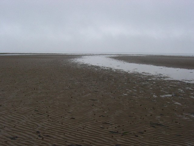
Fisherrow Sands is a sandy beach located in Fisherrow, a coastal suburb of Musselburgh, Midlothian, Scotland. Stretching over 1.5 kilometers along the Firth of Forth, the beach offers a picturesque and peaceful retreat for locals and visitors alike.
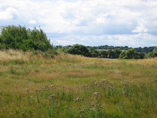
The beach is easily accessible, with ample parking available nearby and good public transport links. It boasts stunning views of the Firth of Forth and the East Lothian coastline, making it a popular spot for photographers and nature enthusiasts. The beach is surrounded by grassy dunes and bordered by a promenade, which is ideal for leisurely walks or cycling.
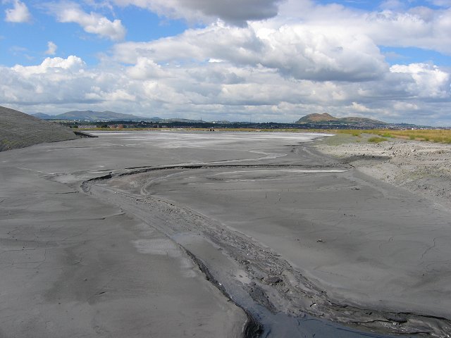
Fisherrow Sands is known for its clean and well-maintained sandy shore. The beach is a great spot for families, as it offers plenty of space for children to play and build sandcastles. During low tide, expansive rock pools are revealed, providing an opportunity for exploration and discovery.
The beach is also a favorite destination for water sports enthusiasts. The Firth of Forth offers excellent conditions for windsurfing, kayaking, and paddleboarding. The nearby Fisherrow Harbour provides a safe launching point for these activities.
Facilities at Fisherrow Sands include public toilets, picnic areas, and a café. There are also several nearby shops and restaurants, making it convenient for visitors to grab a bite to eat or purchase any necessary supplies.
Overall, Fisherrow Sands is a charming and tranquil beach, offering a delightful escape from the hustle and bustle of city life. Its natural beauty, recreational opportunities, and convenient amenities make it a cherished destination for locals and a hidden gem for tourists exploring Midlothian.
If you have any feedback on the listing, please let us know in the comments section below.
Fisherrow Sands Images
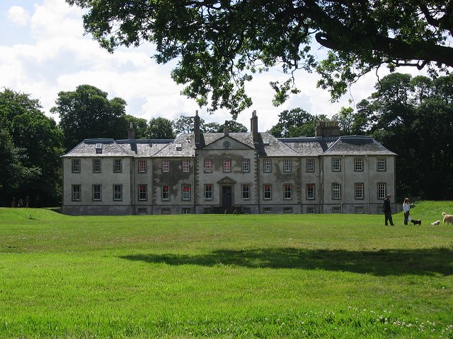
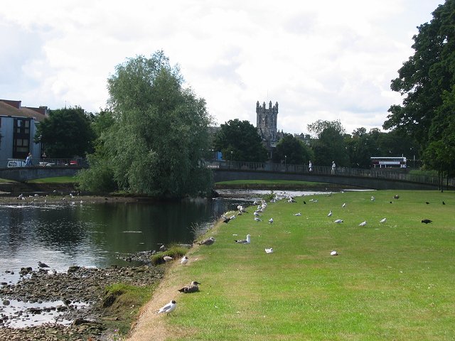
Images are sourced within 2km of 55.951464/-3.0562236 or Grid Reference NT3473. Thanks to Geograph Open Source API. All images are credited.


Fisherrow Sands is located at Grid Ref: NT3473 (Lat: 55.951464, Lng: -3.0562236)
Unitary Authority: East Lothian
Police Authority: The Lothians and Scottish Borders
What 3 Words
///active.yappy.sooner. Near Musselburgh, East Lothian
Nearby Locations
Related Wikis
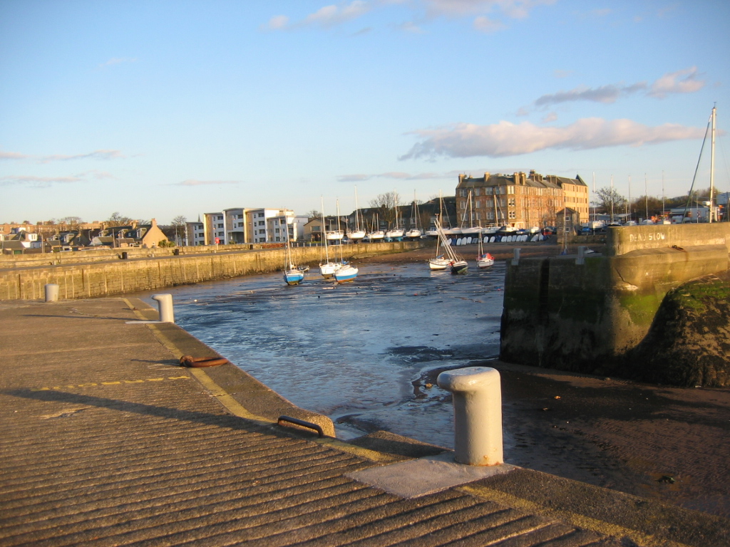
Fisherrow
Fisherrow is a harbour and former fishing village at Musselburgh, East Lothian, Scotland, to the east of Portobello and Joppa, and west of the River Esk...

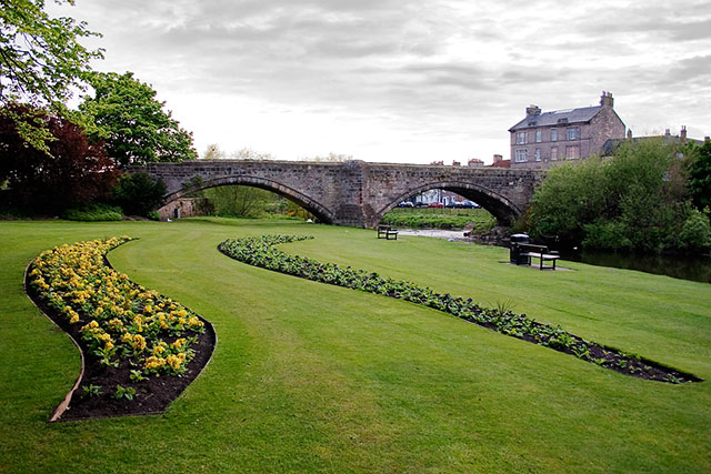
River Esk, Lothian
The River Esk (Brythonic: Isca (water), Scottish Gaelic: Easg (water)), also called the Lothian Esk, is a river that flows through Midlothian and East...

Brunton Theatre
The Brunton Theatre is a mid-scale performing arts venue in Musselburgh, East Lothian, Scotland. It is part of a wider complex, incorporating council offices...

1883 Open Championship
The 1883 Open Championship was the 23rd Open Championship, held 16 November at the Musselburgh Links, Musselburgh, East Lothian, Scotland. Willie Fernie...
Nearby Amenities
Located within 500m of 55.951464,-3.0562236Have you been to Fisherrow Sands?
Leave your review of Fisherrow Sands below (or comments, questions and feedback).