Fall Sand

Beach in Orkney

Scotland

Fall Sand

The eastern shore of Rysa Little
The eastern shore of Rysa Little Credit: David Medcalf

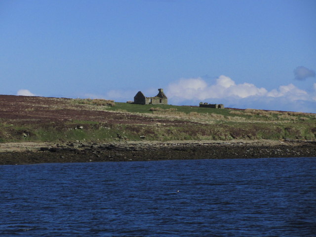
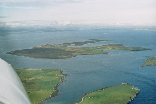
Fall Sand is a picturesque beach located in the Orkney Islands, an archipelago situated off the northeastern coast of Scotland. This stunning beach is renowned for its natural beauty, pristine sand, and crystal-clear waters, making it a popular destination for locals and tourists alike.

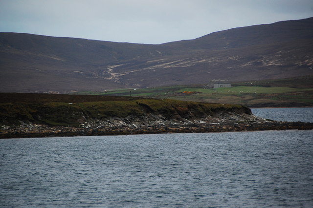
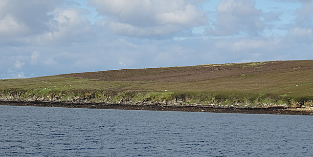
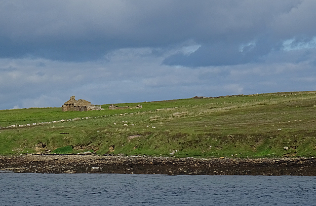
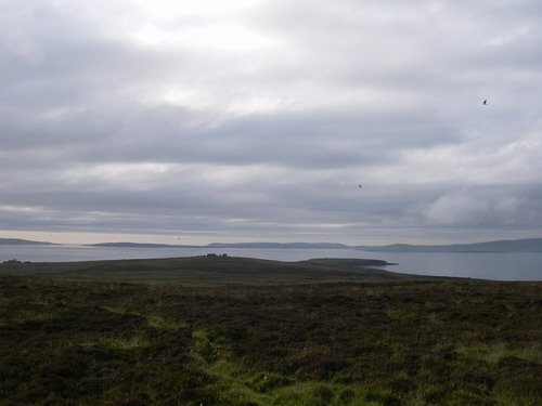
Nestled on the western coast of the Mainland, the largest island in the Orkney group, Fall Sand offers visitors a tranquil and serene environment. The beach stretches over a mile, providing plenty of space for leisurely walks, picnics, and sunbathing. The fine white sand is soft underfoot, inviting visitors to sink their toes into its warmth.

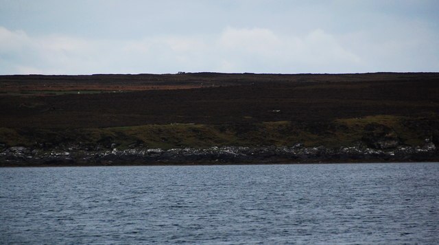
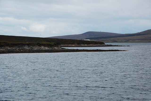
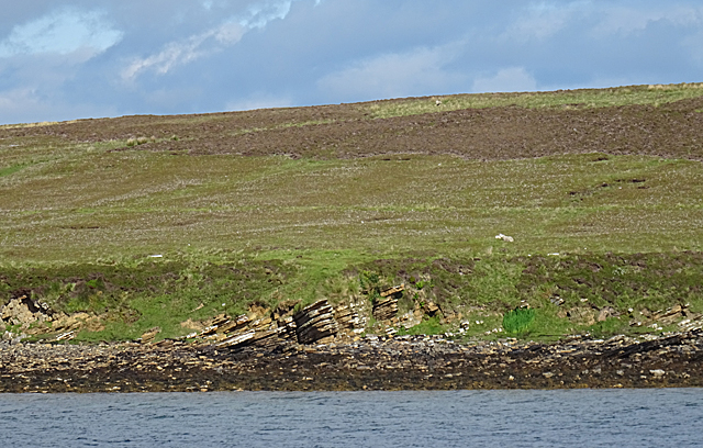
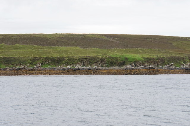
The beach at Fall Sand boasts breathtaking views of the Atlantic Ocean, with the surrounding cliffs enhancing its charm. The dramatic cliffs provide a stunning backdrop and serve as a natural barrier against the elements, creating a sense of seclusion and tranquility. The coastal landscape is also adorned with vibrant wildflowers and grasses, adding a splash of color to the scenery.

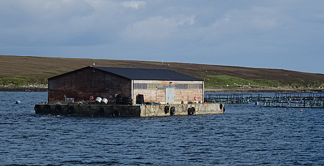
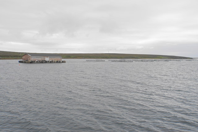
Fall Sand beach is a haven for nature enthusiasts, offering the opportunity to spot a variety of wildlife. Seals can often be seen lounging on the rocks, while seabirds soar above the waves, including puffins, guillemots, and fulmars. The clear waters are teeming with marine life, making it an ideal spot for snorkeling and diving.

In summary, Fall Sand in Orkney is a captivating beach that combines natural beauty, tranquility, and abundant wildlife. Whether you are seeking a peaceful stroll, a day of sunbathing, or a chance to explore the marine ecosystem, Fall Sand is a must-visit destination for nature lovers and beach enthusiasts.

If you have any feedback on the listing, please let us know in the comments section below.

Fall Sand Images

Images are sourced within 2km of 58.850471/-3.1638726 or Grid Reference ND3296. Thanks to Geograph Open Source API. All images are credited.

The eastern shore of Rysa Little
The eastern corner of Rysa Little
On board ferry from Houton to Lyness - view to Fara
Rysa Little and Gutter Sound Looking at the south-eastern shoreline of Rysa Little and down Gutter Sound towards Lyness. This was the heart of Naval operations throughout the Twentieth Century. The area is littered with wreckage, both British and German. Divers refer to the seabed around Gutter Sound and off Lyness as "The bottle run". The sailors would throw empty bottles overboard, where many still lie, waiting to be recovered. As the water is tidal, divers drift over the seabed, collecting the bottles without effort.
Rysa Little and Gutter Sound
Looking at the south-eastern shoreline of Rysa Little and down Gutter Sound towards Lyness. This was the heart of Naval operations throughout the Twentieth Century. The area is littered with wreckage, both British and German. Divers refer to the seabed around Gutter Sound and off Lyness as "The bottle run". The sailors would throw empty bottles overboard, where many still lie, waiting to be recovered. As the water is tidal, divers drift over the seabed, collecting the bottles without effort.
Low cliffs and wave-cut platform, Fara Looking ashore near Whiting Point, Fara. Building called "Whitingpoint" on the skyline.
Low cliffs and wave-cut platform, Fara
Looking ashore near Whiting Point, Fara. Building called "Whitingpoint" on the skyline.
North Point, Fara Looking towards North Point, with the buildings at Muckle Rysa (<a href="https://www.geograph.org.uk/gridref/ND306967">ND306967</a>) on Hoy beyond.
North Point, Fara
Looking towards North Point, with the buildings at Muckle Rysa (ND306967) on Hoy beyond.
North Point, Fara North point, with Peat point beyond. In the distance is the mast at Binga Fea, Hoy (ND280925).
North Point, Fara
North point, with Peat point beyond. In the distance is the mast at Binga Fea, Hoy (ND280925).
Rysa Little The low-lying land in the foreground is part of the islet of Rysa Little, while the buildings higher up are in fact Muckle Rysa on the island of Hoy. Photographer location from in-camera GPS.
Rysa Little
The low-lying land in the foreground is part of the islet of Rysa Little, while the buildings higher up are in fact Muckle Rysa on the island of Hoy. Photographer location from in-camera GPS.
Rysa Little On the shore of the islet of Rysa Little are outcrops of gently dipping Old Red Sandstone. The geological map tells me that the sandstones belong to the Upper Stromness Flagstone Formation, and the angle of dip is 18º.
Rysa Little
On the shore of the islet of Rysa Little are outcrops of gently dipping Old Red Sandstone. The geological map tells me that the sandstones belong to the Upper Stromness Flagstone Formation, and the angle of dip is 18º.
Coast of Fara Taken from the ferry from Lyness to Houton. Photographer location from in-camera GPS.
Coast of Fara
Taken from the ferry from Lyness to Houton. Photographer location from in-camera GPS.
Fish Farm The floating building and associated cages are in Gutter Sound between Hoy and Fara. Photographer location from in-camera GPS.
Fish Farm
The floating building and associated cages are in Gutter Sound between Hoy and Fara. Photographer location from in-camera GPS.
Island of Fara Or, to be precise, part of the island. Note the gently dipping strata of the Old Red Sandstone that makes up most of Orkney.
Island of Fara
Or, to be precise, part of the island. Note the gently dipping strata of the Old Red Sandstone that makes up most of Orkney.
Island of Fara Only a small part of this square is land. The ruin is Park, which is in the next square. Photographer location from in-camera GPS.
Island of Fara
Only a small part of this square is land. The ruin is Park, which is in the next square. Photographer location from in-camera GPS.
Rysa Little The north-eastern point of the islet of Rysa Little. Photographer location from in-camera GPS.
Rysa Little
The north-eastern point of the islet of Rysa Little. Photographer location from in-camera GPS.
Rysa Little A small uninhabited low island, with the hills of Hoy dominating it behind.
Rysa Little
A small uninhabited low island, with the hills of Hoy dominating it behind.
The south eastern tip of Rysa Little The farm in the centre is Muckle Rysa which is on Hoy.
The south eastern tip of Rysa Little
The farm in the centre is Muckle Rysa which is on Hoy.
The coast of Fara The rock strata are at an angle of nearly 45 degrees, as they are also on nearby Rysa Little.
The coast of Fara
The rock strata are at an angle of nearly 45 degrees, as they are also on nearby Rysa Little.
Fish farm off Fara Producing salmon bred in seawater.
Fish farm off Fara
Producing salmon bred in seawater.
Show me another place!

Fall Sand is located at Grid Ref: ND3296 (Lat: 58.850471, Lng: -3.1638726)

Unitary Authority: Orkney Islands

Police Authority: Highlands and Islands

What 3 Words

///targeted.haggle.ironic. Near Lyness, Orkney Islands

Related Wikis

Fara, Orkney

Fara (, Old Norse: Færey ) is a small island in Orkney, Scotland, lying in Scapa Flow between the islands of Flotta and Hoy. It has been uninhabited since...

Gutter Sound

Gutter Sound is a sound in Orkney, Scotland, part of Scapa Flow. It lies to the west of the main harbour between the internal islands of Cava and Fara...

Rysa Little

Rysa Little, commonly referred to as Rysa, is an uninhabited island in the Orkney archipelago in Scotland. It is approximately 32 hectares (79 acres) in...

Scapa Flow Museum

Scapa Flow Museum is a war museum in Lyness on the Island of Hoy, Orkney, Scotland. Housed within a refurbished Romney hut and oil fuel pump house at the...

Crockness Martello tower

Crockness Martello Tower is a Martello Tower on Hoy, Orkney, Scotland. It was built during the Napoleonic Wars, at the same time as the Martello Tower...

Cava, Orkney

Cava is an uninhabited island in the Orkney archipelago in Scotland. It is 107 hectares (0.41 sq mi) in extent and rises to 38 metres (125 ft) above sea...

Flotta

Flotta () is a small island in Orkney, Scotland, lying in Scapa Flow. The island is known for its large oil terminal and is linked by Orkney Ferries to...

Lyness

Lyness is a village on the east coast of the island of Hoy, Orkney, Scotland. The village is within the parish of Walls and Flotta, and is situated at...

Nearby Amenities

Located within 500m of 58.850471,-3.1638726
Whitingpoint
Place: locality
Lat/Long: 58.8535705/-3.1651725
Fall Sand
Place: locality
Lat/Long: 58.850152/-3.1618895
Netherhouse
Place: locality
Lat/Long: 58.8498634/-3.1663956
Newcot
Place: locality
Lat/Long: 58.8498301/-3.1696357
The data included in this document is from www.openstreetmap.org. The data is made available under ODbL.

Have you been to Fall Sand?

Leave your review of Fall Sand below (or comments, questions and feedback).