Poolness Beach
Beach in Devon East Devon
England
Poolness Beach
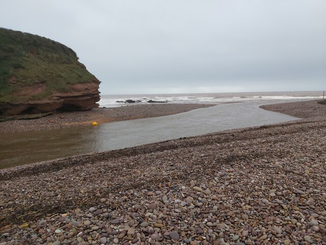
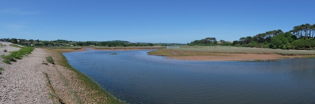
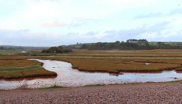
Poolness Beach is a picturesque coastal gem located in Devon, England. Situated near the charming village of Salcombe, this beach offers a delightful retreat for locals and tourists alike. With its pristine sandy shores, crystal-clear waters, and breathtaking views, Poolness Beach is a popular destination for those seeking relaxation and natural beauty.
The beach is relatively small, with a length of around 200 meters. Its intimate size adds to its charm and tranquility, making it an ideal spot for families and couples seeking a peaceful getaway. The sandy shoreline provides a comfortable space for sunbathing, building sandcastles, or enjoying a leisurely stroll along the coast.
One of the notable features of Poolness Beach is its calm and clear waters. The beach is sheltered from strong currents and waves, making it safe for swimming and water activities. Visitors can take a refreshing dip, snorkel around the rocky outcrops, or explore the coastline on kayaks or paddleboards.
For those who prefer to stay on dry land, Poolness Beach offers stunning panoramic views of the surrounding cliffs and the azure sea. The rugged cliffs provide a dramatic backdrop, highlighting the natural beauty of the area. Visitors can also enjoy picnics on the beach, taking in the serene atmosphere and enjoying the sounds of the waves.
Facilities at Poolness Beach are limited, with no permanent refreshment stands or lifeguards on duty. However, there are nearby car parks and public toilets for convenience. It is important to note that the beach is inaccessible during high tide, so visitors should plan their visit accordingly.
Overall, Poolness Beach is a hidden gem in Devon, offering a peaceful and idyllic seaside experience. Its natural beauty and tranquil atmosphere make it a must-visit destination for beach lovers and nature enthusiasts.
If you have any feedback on the listing, please let us know in the comments section below.
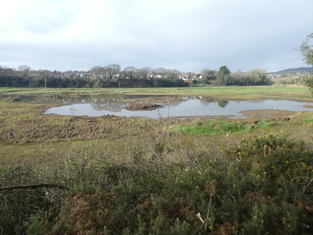
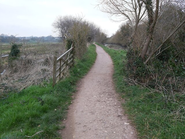
Poolness Beach Images
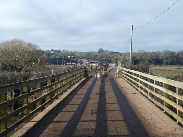
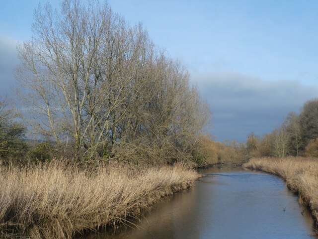
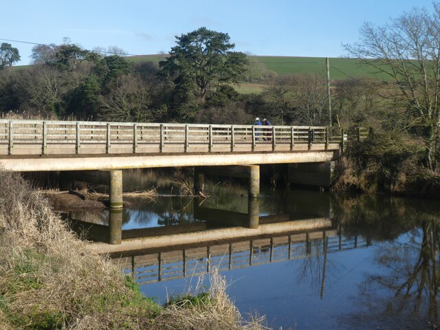
Images are sourced within 2km of 50.639583/-3.2912002 or Grid Reference SY0883. Thanks to Geograph Open Source API. All images are credited.


Poolness Beach is located at Grid Ref: SY0883 (Lat: 50.639583, Lng: -3.2912002)
Administrative County: Devon
District: East Devon
Police Authority: Devon and Cornwall
What 3 Words
///return.disprove.gold. Near Budleigh Salterton, Devon
Nearby Locations
Related Wikis
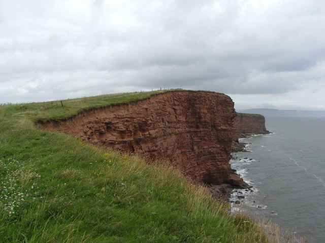
Danger Point
Danger Point is a coastal feature and cliff face in Devon, on the south coast of England. It is about 18 kilometres (11 mi) southeast of the city of Exeter...

East Budleigh
East Budleigh is a small village in East Devon, England. The villages of Yettington, Colaton Raleigh, and Otterton lie to the west, north and east of...

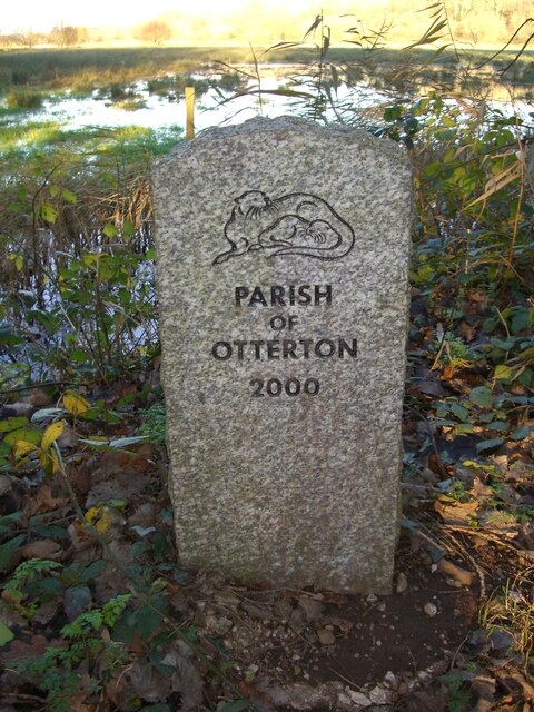
Otterton
Otterton is a village and civil parish in East Devon, England. The parish lies on the English Channel and is surrounded clockwise from the south by the...
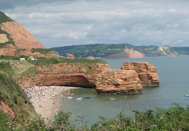
Ladram Bay
Ladram Bay is a secluded bay with a pebble beach, on the south coast of Devon, England between the coastal towns of Budleigh Salterton and Sidmouth. It...
Nearby Amenities
Located within 500m of 50.639583,-3.2912002Have you been to Poolness Beach?
Leave your review of Poolness Beach below (or comments, questions and feedback).