North Beach
Beach in Cumberland Copeland
England
North Beach
North Beach, Cumberland (Beach) is a picturesque coastal area located in Cumberland County, Nova Scotia, Canada. Situated on the northern coast of Nova Scotia, this beach stretches for approximately 1.5 kilometers, offering visitors a stunning view of the Gulf of St. Lawrence.
Known for its pristine sandy shores, North Beach is a popular destination for locals and tourists alike. The beach is perfect for sunbathing, picnicking, and leisurely walks along the shoreline. The soft golden sand is inviting and ideal for building sandcastles or simply relaxing while listening to the soothing sound of the waves crashing against the shore.
The beach is surrounded by rugged cliffs and rolling hills, adding to its natural beauty and providing a stunning backdrop for beachgoers. This picturesque landscape attracts photographers and nature enthusiasts who can capture breathtaking sunsets and explore the diverse marine life found in the tidal pools.
North Beach is also a hotspot for outdoor activities such as swimming, kayaking, and paddleboarding, with crystal-clear waters and gentle waves. Lifeguards are stationed on the beach during peak season to ensure the safety of visitors.
Facilities at North Beach include ample parking spaces, washrooms, and picnic areas equipped with barbecue pits and picnic tables. There are also nearby trails for hiking and birdwatching, allowing visitors to explore the surrounding coastal ecosystem.
Overall, North Beach, Cumberland (Beach) offers a serene and idyllic coastal experience, combining natural beauty, recreational activities, and a peaceful atmosphere, making it a must-visit destination for nature lovers and beach enthusiasts.
If you have any feedback on the listing, please let us know in the comments section below.
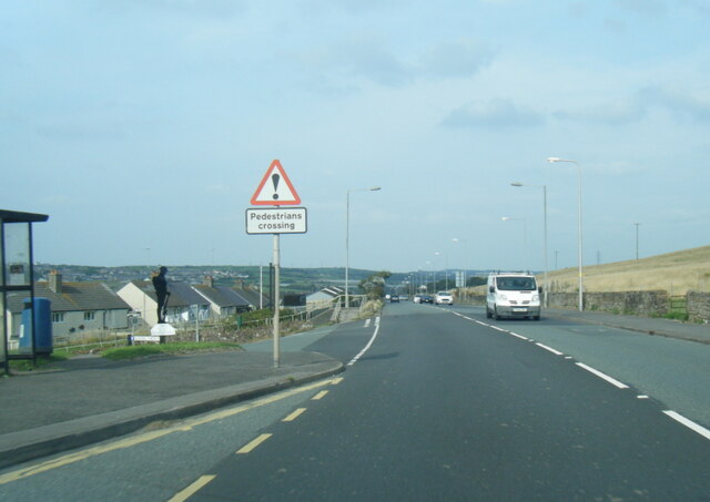
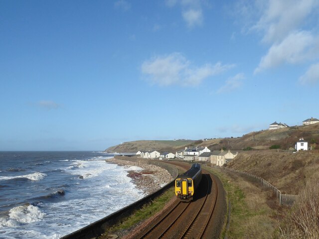
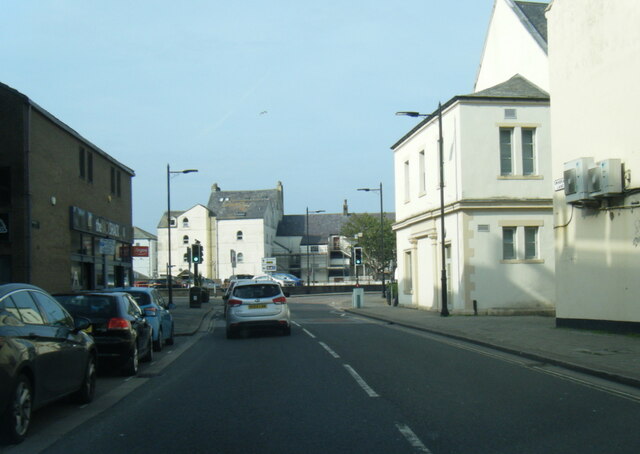
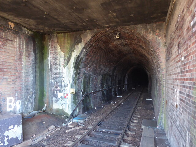
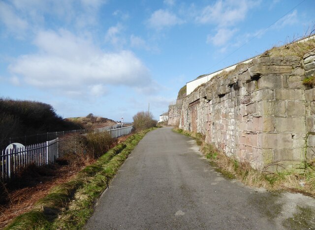
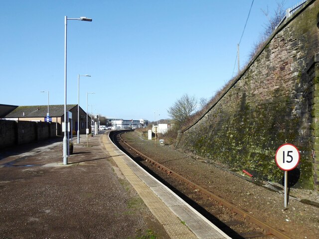
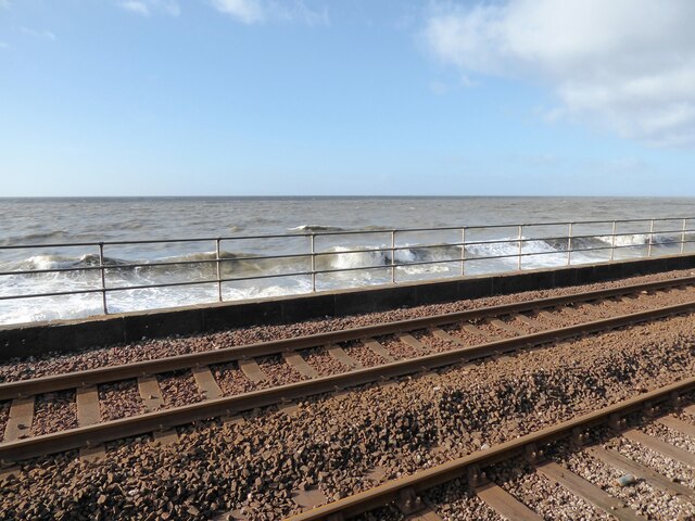
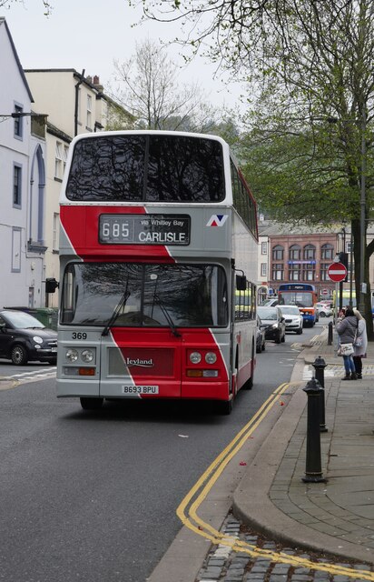
North Beach Images
Images are sourced within 2km of 54.553936/-3.5918701 or Grid Reference NX9718. Thanks to Geograph Open Source API. All images are credited.


North Beach is located at Grid Ref: NX9718 (Lat: 54.553936, Lng: -3.5918701)
Administrative County: Cumbria
District: Copeland
Police Authority: Cumbria
What 3 Words
///player.headed.waters. Near Whitehaven, Cumbria
Nearby Locations
Related Wikis

Whitehaven railway station
Whitehaven railway station is a railway station serving the coastal town of Whitehaven in Cumbria, England. It is on the Cumbrian Coast Line, which runs...

Bransty
Bransty is a suburb of Whitehaven in Cumbria, England. It is an average sized housing estate. The centre of it, The Green, is a meeting place for children...
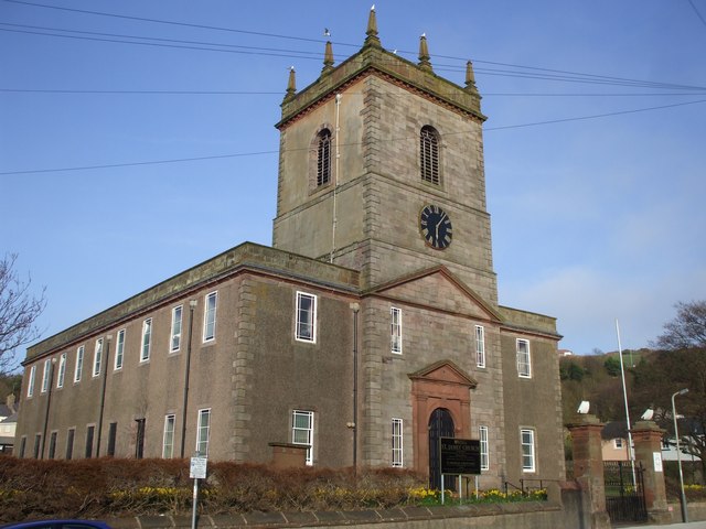
St James' Church, Whitehaven
St James' Church is in High Street, Whitehaven, Cumbria, England, at the crossing with the top of Queen Street. It stands in an elevated position overlooking...
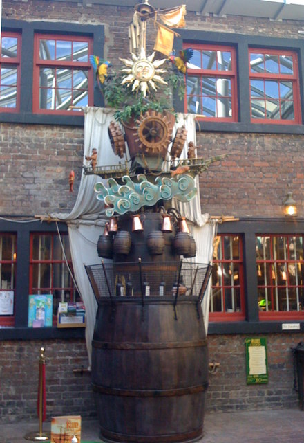
The Rum Story
The Rum Story is a visitor attraction and museum in Whitehaven, Cumbria, England. It presents the story of the rum trade and the creation of rum. It is...
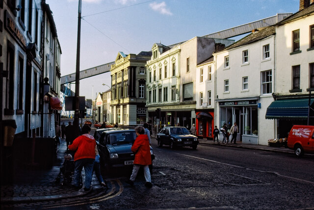
Whitehaven
Whitehaven is a town and port on the English north west coast and near to the Lake District National Park in Cumberland, Cumbria, England. It lies by road...

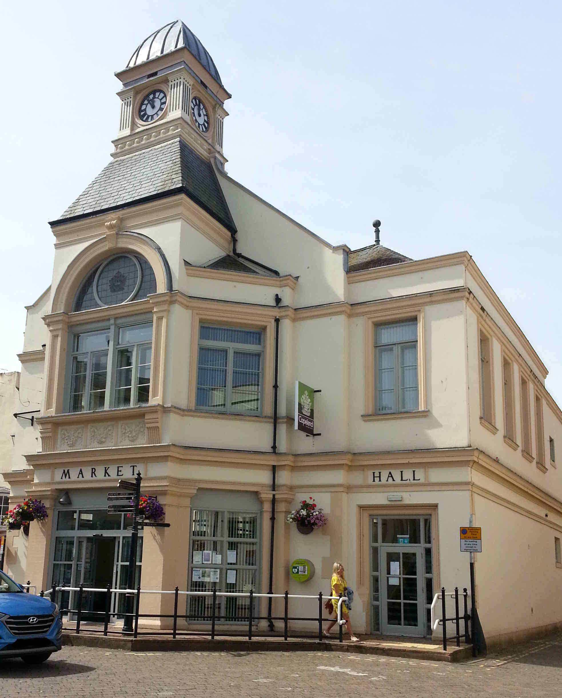
Whitehaven Town Hall
Whitehaven Town Hall is a municipal building in Duke Street in Whitehaven, Cumbria, England. The building, which was the headquarters of Whitehaven Borough...
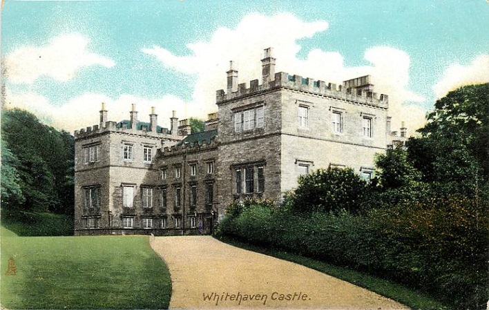
Whitehaven Castle
Whitehaven Castle is a historic building in Whitehaven, Cumbria. It is a Grade II listed building. == History == The building was constructed for Sir John...

Haig Colliery
Haig Colliery was a coal mine in Whitehaven, Cumbria, in north-west England. The mine was in operation for almost 70 years and produced anthracitic coal...
Nearby Amenities
Located within 500m of 54.553936,-3.5918701Have you been to North Beach?
Leave your review of North Beach below (or comments, questions and feedback).