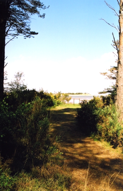
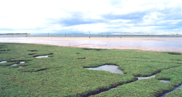
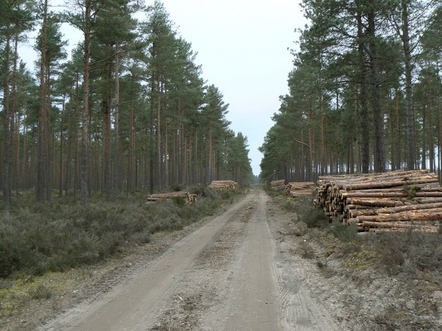
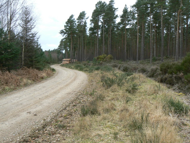
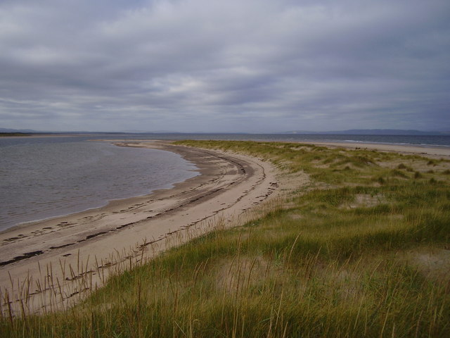
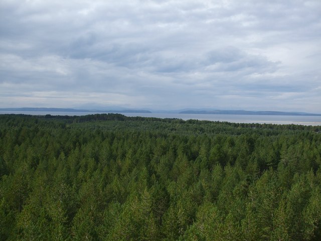
The Gut
Beach in Banffshire
Scotland
The Gut
The requested URL returned error: 429 Too Many Requests
If you have any feedback on the listing, please let us know in the comments section below.
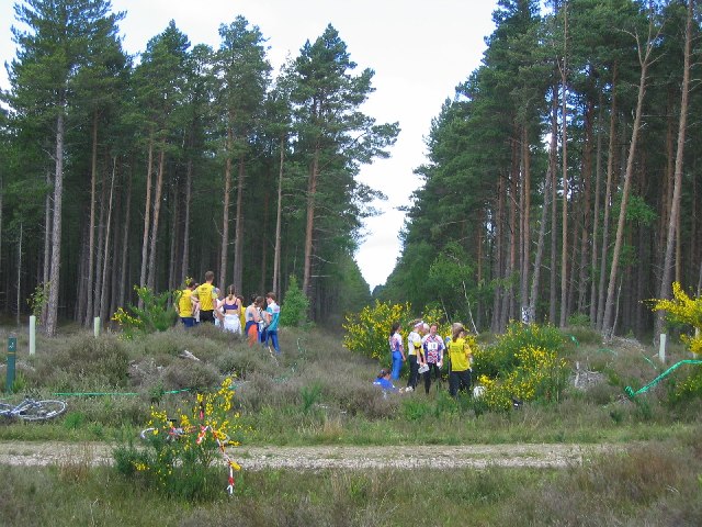
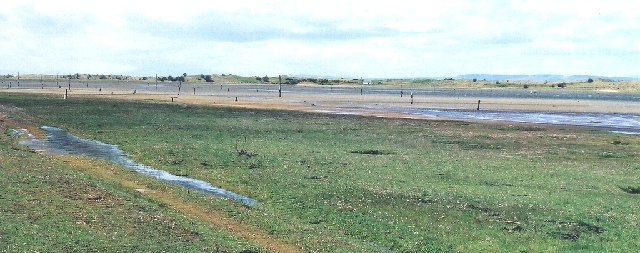
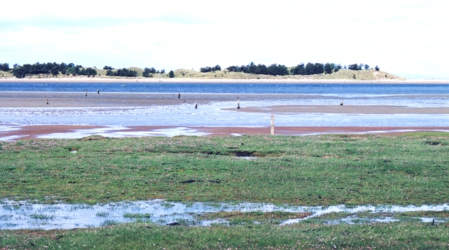
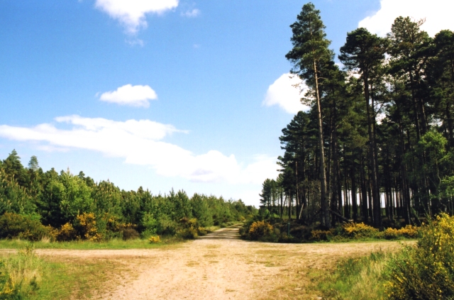
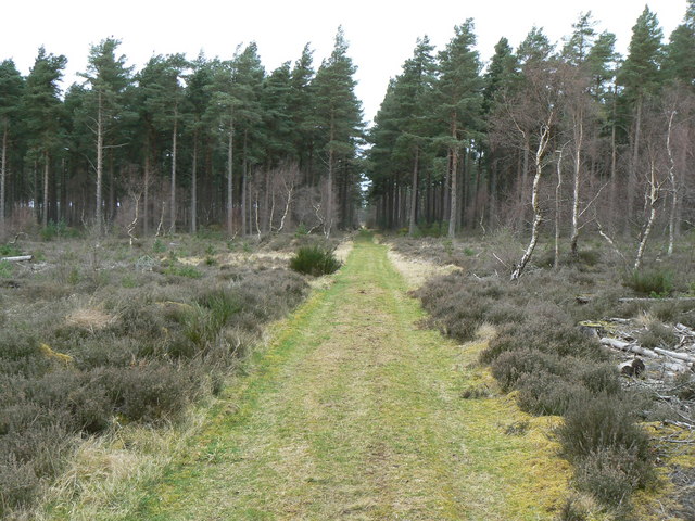
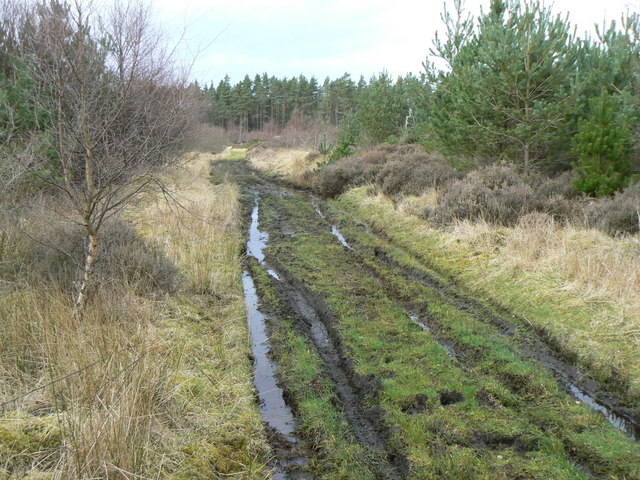
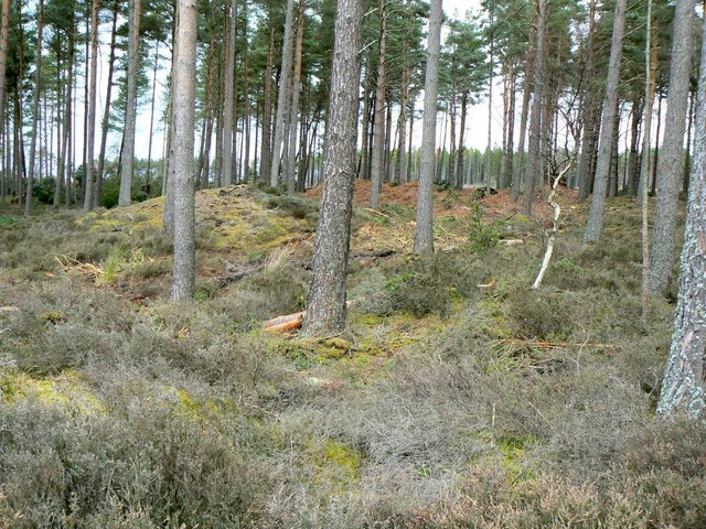
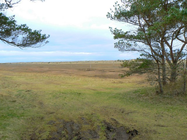
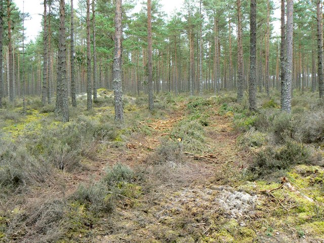
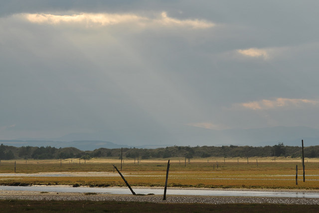
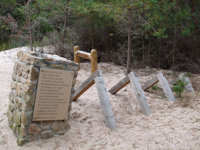
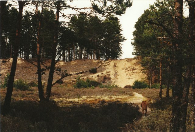
The Gut Images
Images are sourced within 2km of 57.637423/-3.7378282 or Grid Reference NH9662. Thanks to Geograph Open Source API. All images are credited.
The Gut is located at Grid Ref: NH9662 (Lat: 57.637423, Lng: -3.7378282)
Unitary Authority: Moray
Police Authority: North East
What 3 Words
///skis.owls.atlas. Near Forres, Moray
Nearby Locations
Related Wikis

Culbin Sands, Forest and Findhorn Bay
Culbin Sands, Forest and Findhorn Bay is a huge area of coast and countryside and an SSSI (site of special scientific interest) in Moray, Scotland, stretching...
Moray and Nairn Coast
The Moray and Nairn Coast is a protected wetland site on the southern shore of the Moray Firth, in the west of Scotland. A total of 2,412 hectares comprises...
Kintessack
Kintessack is a locality and village in the parish of Dyke and Moy, 3 miles (4.8 km) northwest of Forres in Moray, Scotland. == History == The Murray of...

Dyke, Moray
Dyke (Scottish Gaelic: Dìg) is a small village situated in the north of Scotland on the Moray coast, approximately 4 miles west of Forres. The origin of...
Nearby Amenities
Located within 500m of 57.637423,-3.7378282Have you been to The Gut?
Leave your review of The Gut below (or comments, questions and feedback).