Babbacombe Beach
Beach in Devon
England
Babbacombe Beach
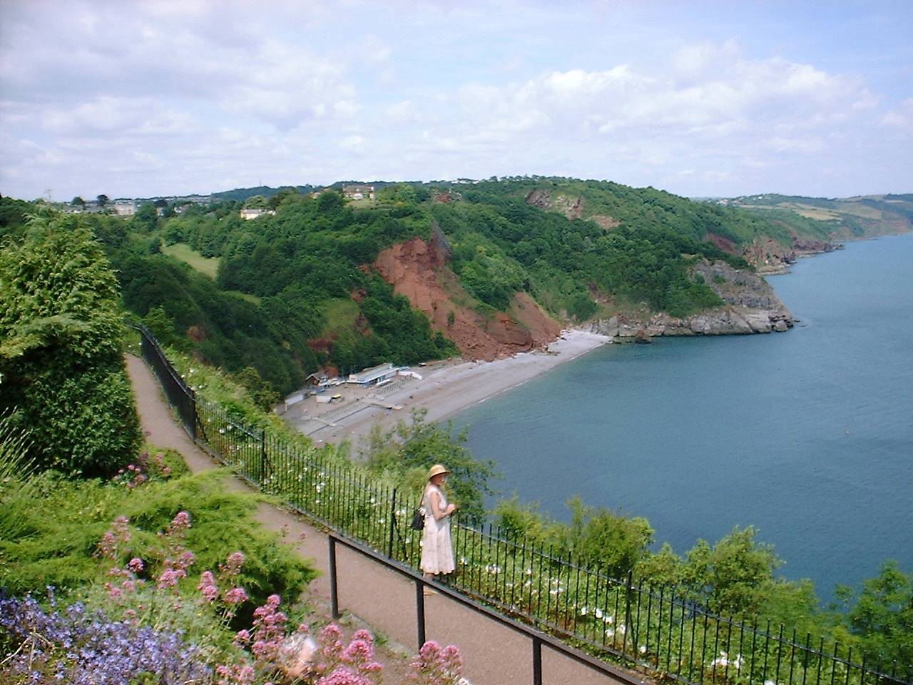
Babbacombe Beach is a picturesque sandy beach located on the south coast of Devon, England. Situated in the popular seaside town of Torquay, it is renowned for its stunning natural beauty and tranquil atmosphere. The beach stretches for approximately 200 meters and is backed by towering cliffs, offering visitors breathtaking views of the English Riviera.
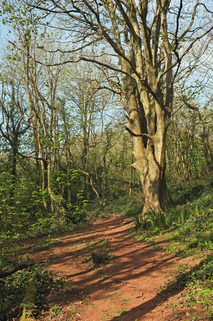
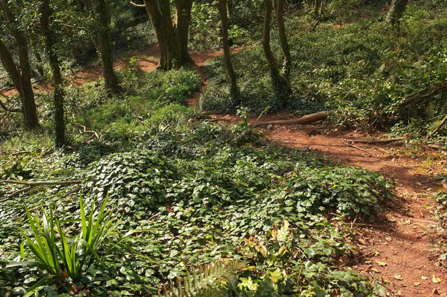
Access to Babbacombe Beach is via a steep slope, which adds to its secluded and peaceful ambiance. The beach is not as crowded as some of the more popular tourist spots in the area, making it an ideal destination for those seeking a quieter beach experience. Its clean and well-maintained sands provide a perfect spot for sunbathing, sandcastle building, or simply relaxing with a book.
The crystal-clear waters of Babbacombe Beach are safe for swimming and offer a refreshing escape during the warmer months. At low tide, the beach reveals rock pools teeming with marine life, making it a favorite destination for families with children who enjoy exploring and discovering fascinating creatures. The beach is also a popular spot for fishing and kayaking, with various water sports activities available for visitors to enjoy.
Facilities at Babbacombe Beach include toilets, a beachside café serving refreshments, and a small car park nearby. The beach is easily accessible by public transportation, with regular bus services connecting it to Torquay town center. Surrounded by stunning natural landscapes and boasting a peaceful ambiance, Babbacombe Beach is a hidden gem on the Devon coast, attracting visitors seeking a relaxing and unspoiled beach experience.
If you have any feedback on the listing, please let us know in the comments section below.
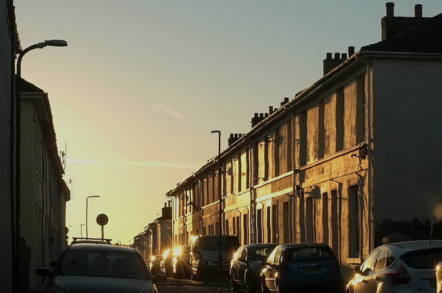
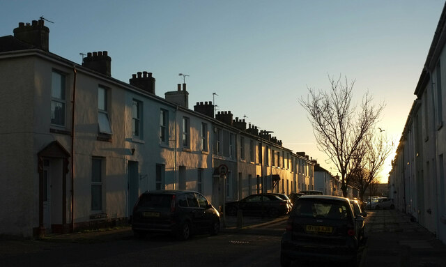
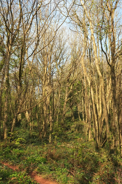
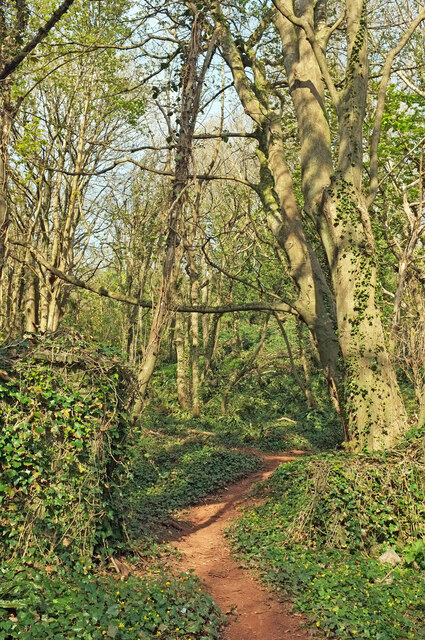
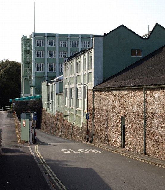
Babbacombe Beach Images
Images are sourced within 2km of 50.479365/-3.5094783 or Grid Reference SX9265. Thanks to Geograph Open Source API. All images are credited.


Babbacombe Beach is located at Grid Ref: SX9265 (Lat: 50.479365, Lng: -3.5094783)
Unitary Authority: Torbay
Police Authority: Devon and Cornwall
What 3 Words
///itself.events.mining. Near Torquay, Devon
Nearby Locations
Related Wikis

Babbacombe Theatre
The Babbacombe Theatre is a theatre in Babbacombe in Torquay, South Devon, England. Refurbished in 2009, the venue has been part of the Bay’s tourism industry...
Oddicombe Beach
Oddicombe Beach is a popular beach, noted for its interesting breccia cliffs, below the Babbacombe district of Torbay, Devon in England. The beach includes...

Babbacombe Cliff Railway
Babbacombe Cliff Railway, also known as the Babbacombe Cliff Lift, is a funicular railway in the town of Torquay in the English county of Devon. It links...
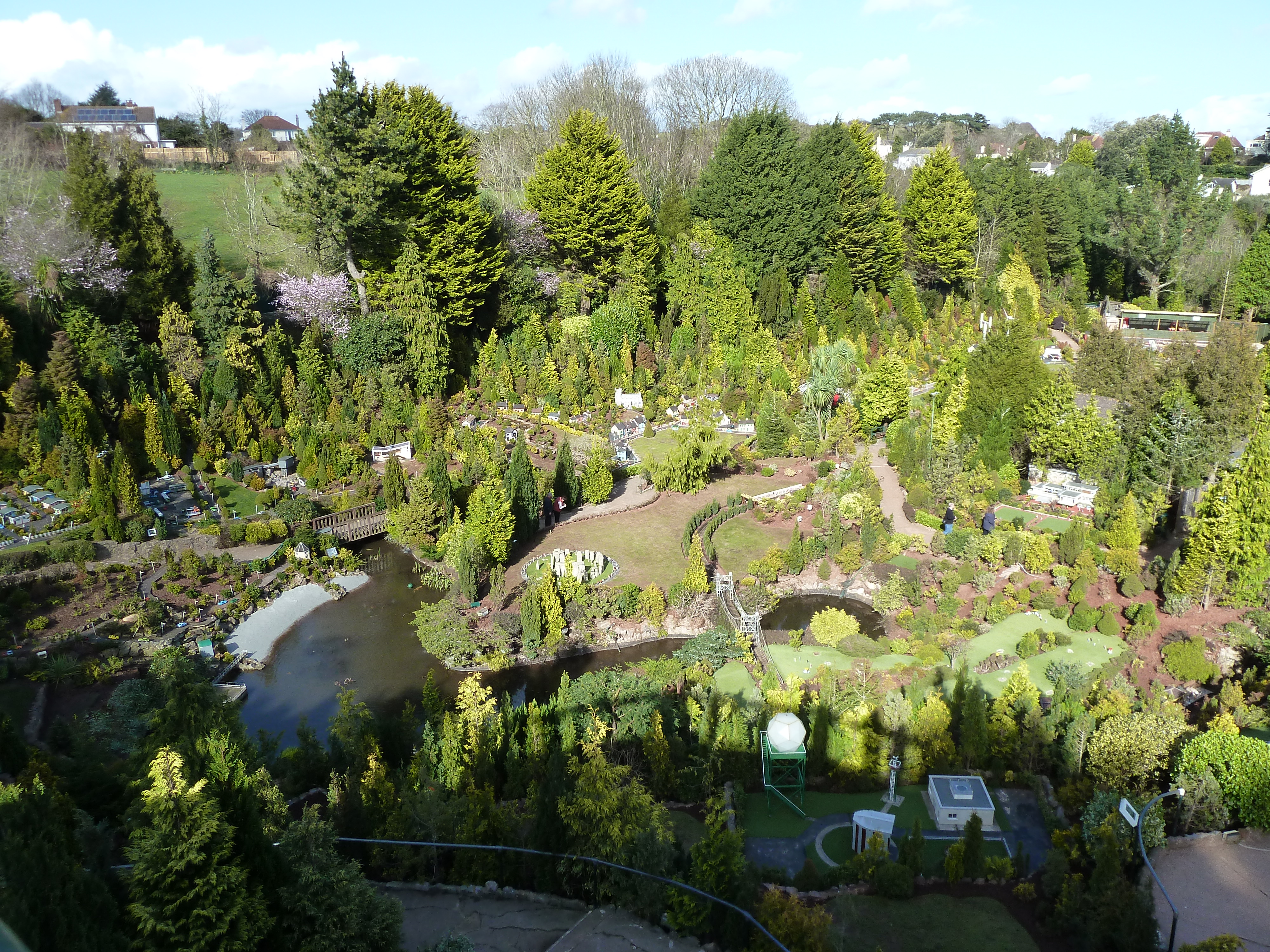
Babbacombe Model Village
Babbacombe Model Village is a miniature village and railway located in Babbacombe in Torquay, Devon. The model village was opened in 1963 by Tom & Ruth...

St Marychurch Town Hall
St Marychurch Town Hall is a municipal building in Fore Street, St Marychurch, Devon, England. The town hall, which is now used as a block of apartments...
RAF Hospital Torquay
The RAF Hospital Torquay (also known as the RAF Officer's Convalescent Hospital), was a medical facility run by the Royal Air Force (RAF) in the Torquay...

Long Quarry Point
Long Quarry Point is a coastal promontory below Wall's Hill in Torquay, Devon, England. The site is part of the Hope's Nose to Wall's Hill Site of Special...
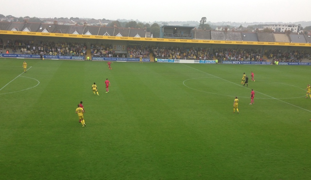
Plainmoor
Plainmoor is an association football stadium located in the Plainmoor suburb of Torquay, Devon, England. Since 1921, the stadium has been the home of Torquay...
Nearby Amenities
Located within 500m of 50.479365,-3.5094783Have you been to Babbacombe Beach?
Leave your review of Babbacombe Beach below (or comments, questions and feedback).