Tywyn Bâch

Beach in Carmarthenshire

Wales

Tywyn Bâch

Coastline East of Burry Port
Coastline East of Burry Port Credit: David Lewis

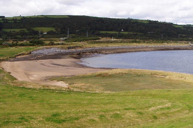
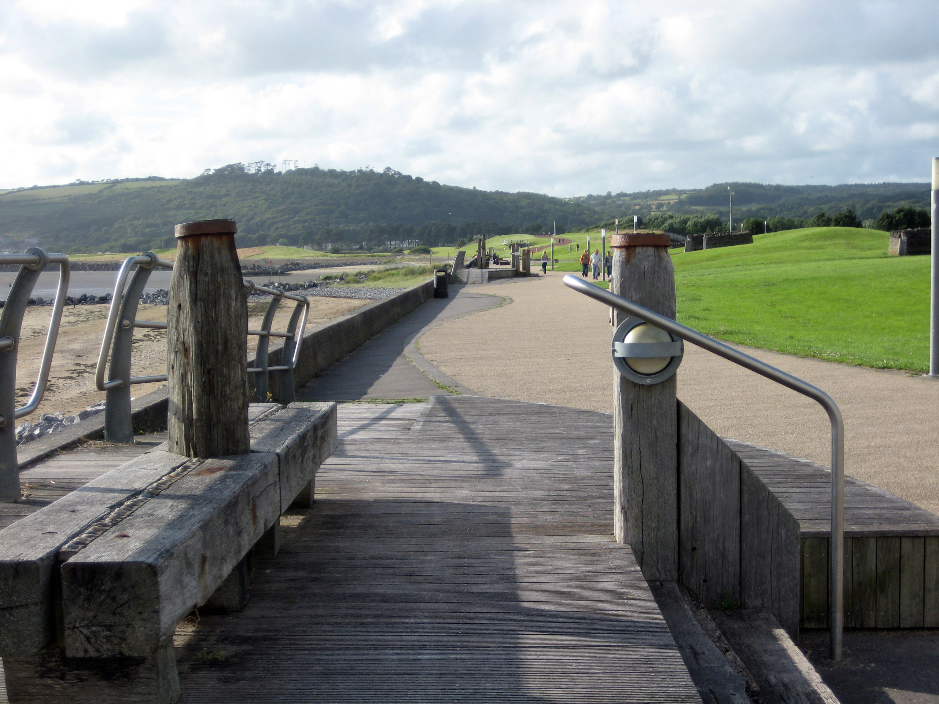
Tywyn Bâch is a beautiful beach located in Carmarthenshire, Wales. It is a popular destination for locals and tourists alike, offering stunning views of the Welsh coastline and the surrounding countryside. The beach is known for its golden sands and clear blue waters, making it a great spot for sunbathing, swimming, and water sports.

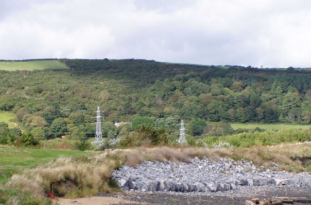
Tywyn Bâch is a relatively quiet and peaceful beach, making it the perfect place to relax and unwind. The beach is surrounded by sand dunes and grassy areas, providing a picturesque backdrop for visitors to enjoy. There are also plenty of rock pools to explore, making it a great place for families with children.

The beach is easily accessible by car, with parking available nearby. There are also public toilets and a café located close to the beach, making it a convenient spot for a day out. Tywyn Bâch is a Blue Flag beach, meaning it meets high standards for water quality and cleanliness, ensuring a safe and enjoyable experience for all who visit.

If you have any feedback on the listing, please let us know in the comments section below.
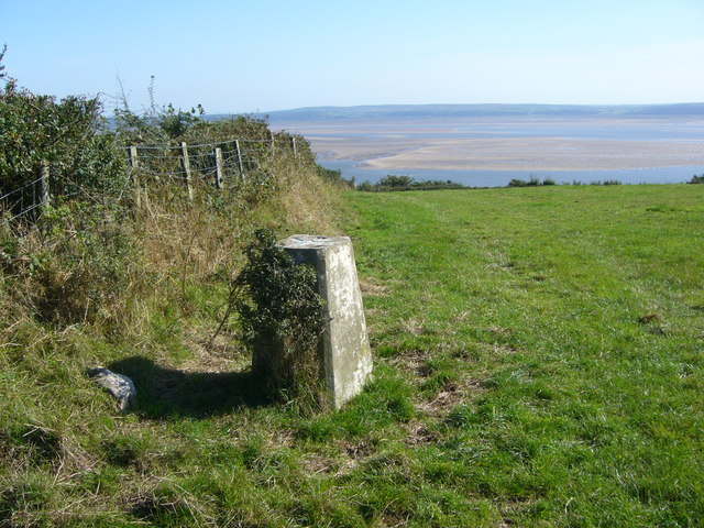
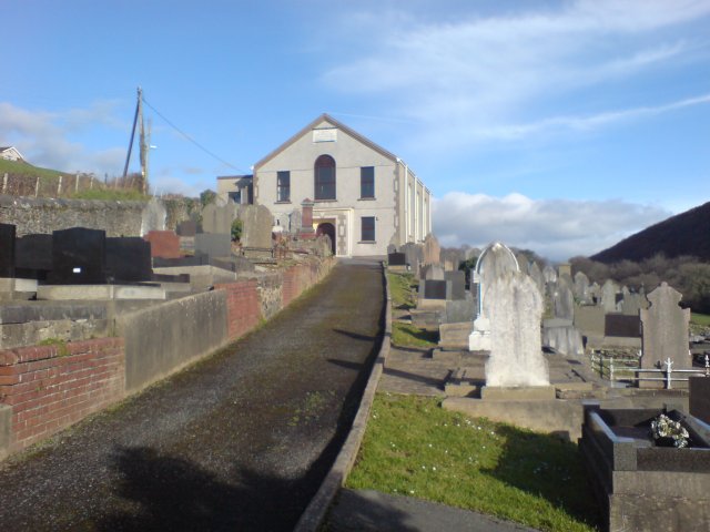
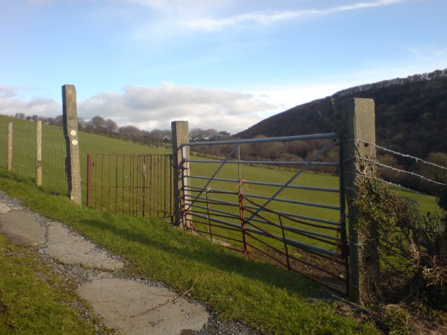
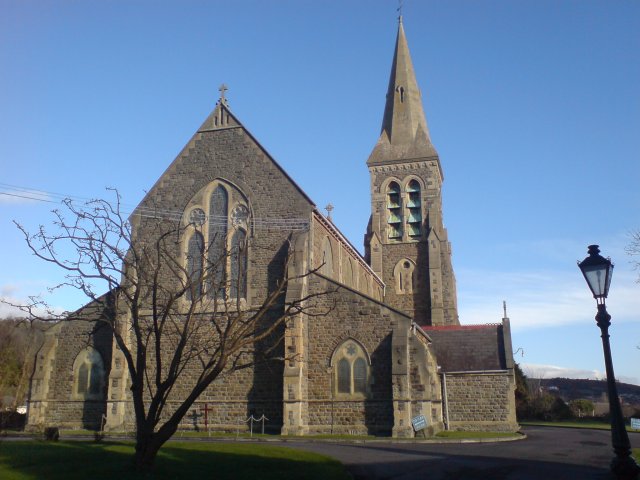
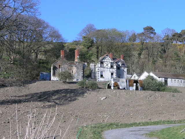
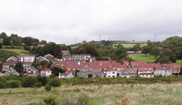
Tywyn Bâch Images

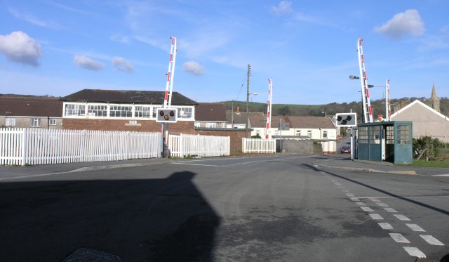
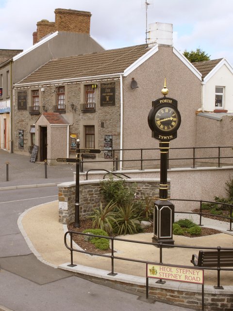
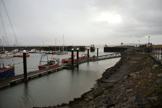
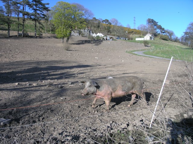
Images are sourced within 2km of 51.682/-4.2226807 or Grid Reference SN4600. Thanks to Geograph Open Source API. All images are credited.

Coastline East of Burry Port
Wooded Slopes Between Burry Port and Pwll
Part of the Village of Pwll Near Llanelli View from the south west
Part of the Village of Pwll Near Llanelli
View from the south west
St Mary's Church, Burry Port. View from the 
south east
St Mary's Church, Burry Port.
View from the south east
Burry Port Harbour View from the south east
Burry Port Harbour
View from the south east
Entrance to Burry Port Harbour View from the east.
Entrance to Burry Port Harbour
View from the east.
Lletty R-Ychen trig
Lletty R-Ychen trig
Carmel Chapel This little chapel is reached via a winding road through Cwm Capel (translated as Chapel Valley).  It is near to St Illtyd's Walk - I wonder if there's a history of religious buildings at this location?
Carmel Chapel
This little chapel is reached via a winding road through Cwm Capel (translated as Chapel Valley). It is near to St Illtyd's Walk - I wonder if there's a history of religious buildings at this location?
A kissing gate on St. Illtyd's Walk Part of the St. Illtyd's walk footpath, this gate takes the walker into the nearby field.  Nearby is a small chapel.
A kissing gate on St. Illtyd's Walk
Part of the St. Illtyd's walk footpath, this gate takes the walker into the nearby field. Nearby is a small chapel.
Narrow country road A narrow country road not far from Llanelli.
Narrow country road
A narrow country road not far from Llanelli.
St Mary's Church St. Mary's Church, Burry Port, the local parish church.
St Mary's Church
St. Mary's Church, Burry Port, the local parish church.
Level crossing and signal box A level crossing on the West Wales Line.  A signal box for the line is also in the picture. I'm not sure if this box is now in use - levers were clearly visible through the windows.
Level crossing and signal box
A level crossing on the West Wales Line. A signal box for the line is also in the picture. I'm not sure if this box is now in use - levers were clearly visible through the windows.
Portobello Inn, Burry Port Looking down from the railway station's bridge, the Portobello Inn is a picturesque sight in the centre of Burry Port.
Portobello Inn, Burry Port
Looking down from the railway station's bridge, the Portobello Inn is a picturesque sight in the centre of Burry Port.
Burry Port Harbour Built in 1832, this harbour was called the 'New Pembrey Harbour' at that time.  It was subsequently re-named when the former Pembrey Harbour was abandoned in 1878.
Burry Port Harbour
Built in 1832, this harbour was called the 'New Pembrey Harbour' at that time. It was subsequently re-named when the former Pembrey Harbour was abandoned in 1878.
Pig in mud Can you see the pig from the mud?  I have no idea why the entire area where the pig wandered around (surrounded by electric fences) had no grass or any other greenery.

The hotel in the background also had a distinctly unused look about it - it looked like it had suffered from a major fire.
Pig in mud
Can you see the pig from the mud? I have no idea why the entire area where the pig wandered around (surrounded by electric fences) had no grass or any other greenery. The hotel in the background also had a distinctly unused look about it - it looked like it had suffered from a major fire.
Burnt out hotel Not a venue to book a holiday at any more, this sad looking structure burnt down not so long ago.
Burnt out hotel
Not a venue to book a holiday at any more, this sad looking structure burnt down not so long ago.
Pavilion Cafe at 8km on the Llanelli Millennium Coastal Park The field is a sports ground, being used for a primary school sports day when I went past. Widespread cheating in the sack races...
Pavilion Cafe at 8km on the Llanelli Millennium Coastal Park
The field is a sports ground, being used for a primary school sports day when I went past. Widespread cheating in the sack races...
Looking out over the Loughor Estuary Showing the path along the Millennium Coastal Park, the railway, mudflats and (out of the square) the river and the western end of the Gower.
Looking out over the Loughor Estuary
Showing the path along the Millennium Coastal Park, the railway, mudflats and (out of the square) the river and the western end of the Gower.
Show me another place!

Tywyn Bâch is located at Grid Ref: SN4600 (Lat: 51.682, Lng: -4.2226807)

Unitary Authority: Carmarthenshire

Police Authority: Dyfed Powys

What 3 Words

///being.overpower.lump. Near Burry Port, Carmarthenshire

Nearby Locations

Tywyn Bâch

Related Wikis

Pwll

Pwll is a small coastal village, located between Llanelli and Burry Port, Carmarthenshire, Wales. == Description == Pwll has a local shop, pet shop, Post...

Carmarthen Bay Power Station

Carmarthen Bay Power Station was an electricity power plant on the north shore of the Burry estuary in Wales in operation from 1953 to 1984. == History... ==

Millennium Coastal Path

The Millennium Coastal Path is a 13 miles (21 km) pedestrian walkway and cycleway along the south coast of Carmarthenshire, providing a link between Llanelli...

Millennium Coastal Park

The Millennium Coastal Park was originally a project undertaken by Llanelli Borough Council to transform a 12 miles stretch of industrial wasteland on...

Nearby Amenities

Located within 500m of 51.682,-4.2226807
Source: PGS
Lat/Long: 51.6796734/-4.2283861
Source: PGS
Lat/Long: 51.6798593/-4.2280368
Source: PGS
Lat/Long: 51.6798513/-4.2276356
Source: PGS
Lat/Long: 51.6797708/-4.2260756
Source: PGS
Lat/Long: 51.6799438/-4.2255343
Source: PGS
Lat/Long: 51.680304/-4.2251937
Source: PGS
Lat/Long: 51.6806473/-4.225044
Source: PGS
Lat/Long: 51.6818129/-4.2259568
Source: PGS
Lat/Long: 51.6827228/-4.2262006
Source: PGS
Lat/Long: 51.6831794/-4.2255263
Source: PGS
Lat/Long: 51.6835557/-4.2247928
Source: PGS
Lat/Long: 51.6838712/-4.2239363
Source: PGS
Lat/Long: 51.6841702/-4.2226751
Source: PGS
Lat/Long: 51.6844686/-4.220569
Source: PGS
Lat/Long: 51.68443/-4.2195487
Source: PGS
Lat/Long: 51.6851324/-4.2197408
Source: PGS
Lat/Long: 51.6853403/-4.2185445
Bench
Lat/Long: 51.6847294/-4.2240746
Bench
Lat/Long: 51.6864513/-4.2226155
The data included in this document is from www.openstreetmap.org. The data is made available under ODbL.

Have you been to Tywyn Bâch?

Leave your review of Tywyn Bâch below (or comments, questions and feedback).