Kitchen Corner
Beach in Glamorgan
Wales
Kitchen Corner
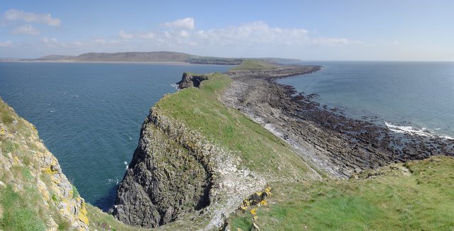
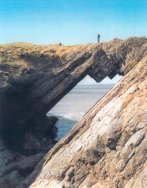
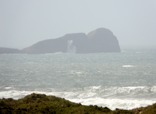
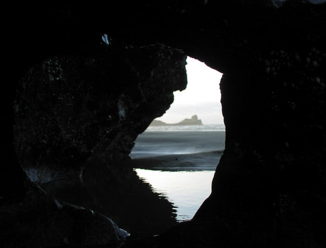
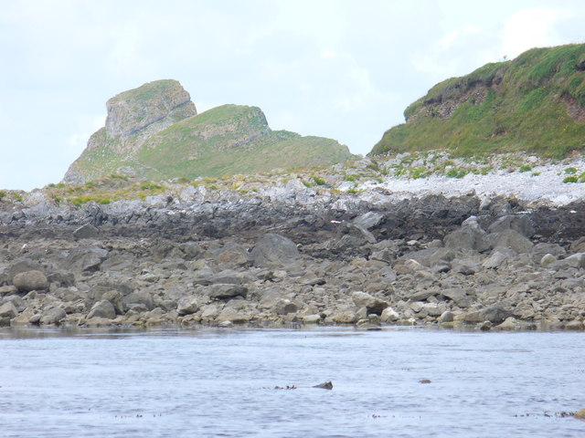
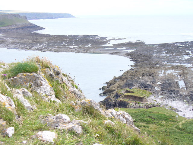
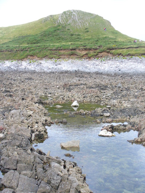
Kitchen Corner is a popular beach located in Glamorgan, Wales. Situated on the southern coast of the country, it is renowned for its picturesque beauty and serene atmosphere. The beach stretches for approximately one kilometer and offers stunning views of the surrounding cliffs and coastline.
The sandy shoreline is gently sloping, making it suitable for sunbathing, picnicking, and various beach activities. The clear blue waters of the Bristol Channel provide ample opportunities for swimming and paddling, particularly during high tide. The beach is also known for its excellent surfing conditions, attracting water sports enthusiasts from all over.
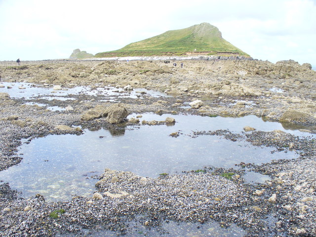
Kitchen Corner is surrounded by lush green hills and is part of a nature reserve, offering visitors the chance to explore the diverse flora and fauna of the area. The reserve is home to various bird species, including gulls, cormorants, and oystercatchers, making it a haven for birdwatchers.
Facilities at Kitchen Corner include ample parking space, public toilets, and a refreshment kiosk serving snacks and drinks. Lifeguards are present during the summer months to ensure the safety of beachgoers. The beach is easily accessible by car and public transportation, with regular bus services available from nearby towns.
Visitors to Kitchen Corner can enjoy long walks along the coast, taking in the breathtaking views and immersing themselves in the natural beauty of the area. The beach's tranquil ambiance and stunning surroundings make it a popular destination for families, couples, and nature lovers alike.
If you have any feedback on the listing, please let us know in the comments section below.
Kitchen Corner Images
Images are sourced within 2km of 51.563882/-4.3063295 or Grid Reference SS4087. Thanks to Geograph Open Source API. All images are credited.
Kitchen Corner is located at Grid Ref: SS4087 (Lat: 51.563882, Lng: -4.3063295)
Unitary Authority: Swansea
Police Authority: South Wales
What 3 Words
///topic.deny.springing. Near Rhossili, Swansea
Nearby Locations
Related Wikis

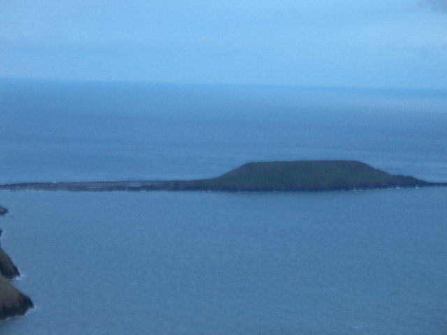
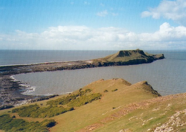
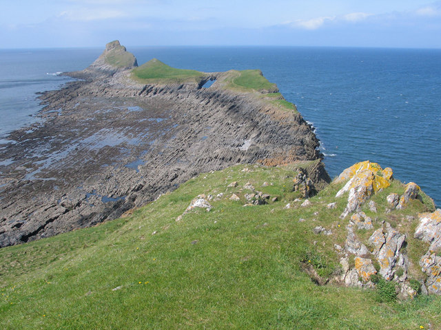
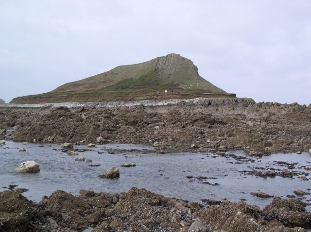
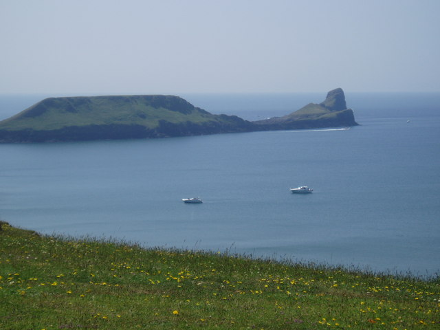
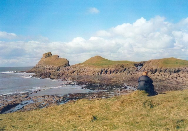
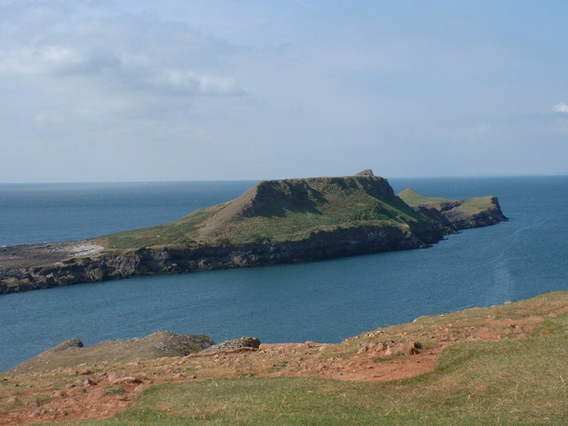
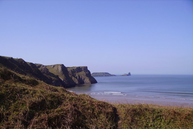
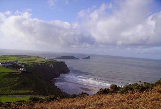
Worm's Head
Worm's Head (Welsh: Pen Pyrrod) is a headland, at Rhossili, part of the City and County of Swansea, Wales. It is the furthest westerly point of the Gower...

Rhossili
Rhossili (Welsh: Rhosili; ) is both a small village and a community on the southwestern tip of the Gower Peninsula in Wales. It is within the first Area...

Mewslade Bay
Mewslade Bay is a small sandy beach facing SSW in the west of the Gower Peninsula, Wales. It lies south of Middleton and southwest of Pitton, from which...

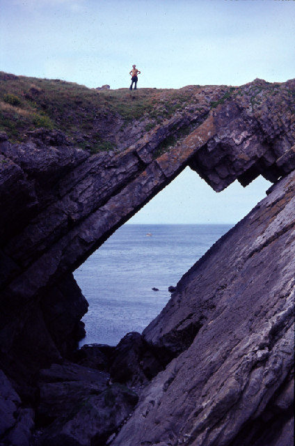
Deborah's Hole Camp
Deborah's Hole Camp (also known as The Knave) is an Iron Age hillfort situated atop the cliff above Deborah's Hole cave in the unitary authority of Swansea...
Nearby Amenities
Located within 500m of 51.563882,-4.3063295Have you been to Kitchen Corner?
Leave your review of Kitchen Corner below (or comments, questions and feedback).