Brownie Cove
Beach in Ayrshire
Scotland
Brownie Cove

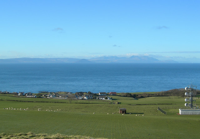
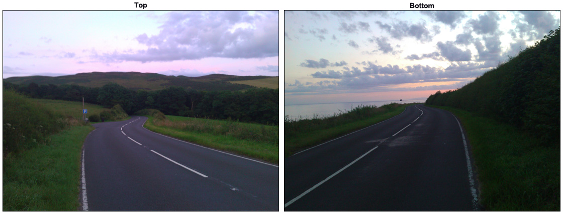
Brownie Cove is a picturesque beach located in the county of Ayrshire, Scotland. Situated on the west coast of the country, it offers visitors a stunning natural setting with its golden sandy shores and clear blue waters. The beach is tucked away, making it a tranquil and peaceful spot for those seeking a relaxing getaway.
Measuring approximately 300 meters in length, Brownie Cove is relatively small in size but boasts breathtaking views of the surrounding cliffs and rugged coastline. The beach is backed by low dunes, providing visitors with a sense of seclusion and privacy. Its remote location also means that it is less crowded than other popular beaches in the area, making it a hidden gem for locals and tourists alike.
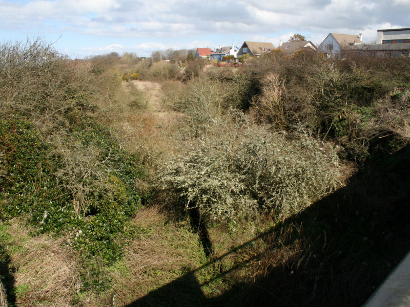
The beach is accessible via a narrow footpath that winds through the grassy dunes, adding to its charm and sense of adventure. It is worth noting that the path can be quite steep in certain areas, so caution is advised when making the descent to the shoreline.
Brownie Cove is a haven for wildlife enthusiasts, as it is known for its diverse ecosystem. Seals, dolphins, and various seabirds can often be spotted in the waters surrounding the beach, making it a popular spot for birdwatching and marine life observation.
Facilities at Brownie Cove are limited, with no designated parking area or toilets available. However, this only adds to its unspoiled and untouched appeal, attracting those seeking a more natural and authentic beach experience.
Overall, Brownie Cove in Ayrshire offers visitors a serene and idyllic coastal escape, showcasing Scotland's natural beauty at its finest.
If you have any feedback on the listing, please let us know in the comments section below.
Brownie Cove Images
Images are sourced within 2km of 55.404887/-4.7626413 or Grid Reference NS2515. Thanks to Geograph Open Source API. All images are credited.


Brownie Cove is located at Grid Ref: NS2515 (Lat: 55.404887, Lng: -4.7626413)
Unitary Authority: South Ayrshire
Police Authority: Ayrshire
What 3 Words
///pranced.depravity.scooped. Near Maybole, South Ayrshire
Nearby Locations
Related Wikis
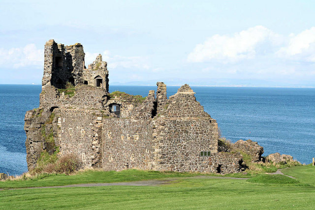
Dunure Castle
Dunure Castle is located on the west coast of Scotland, in South Ayrshire, about five miles (eight kilometres) south of Ayr and close to the village of...
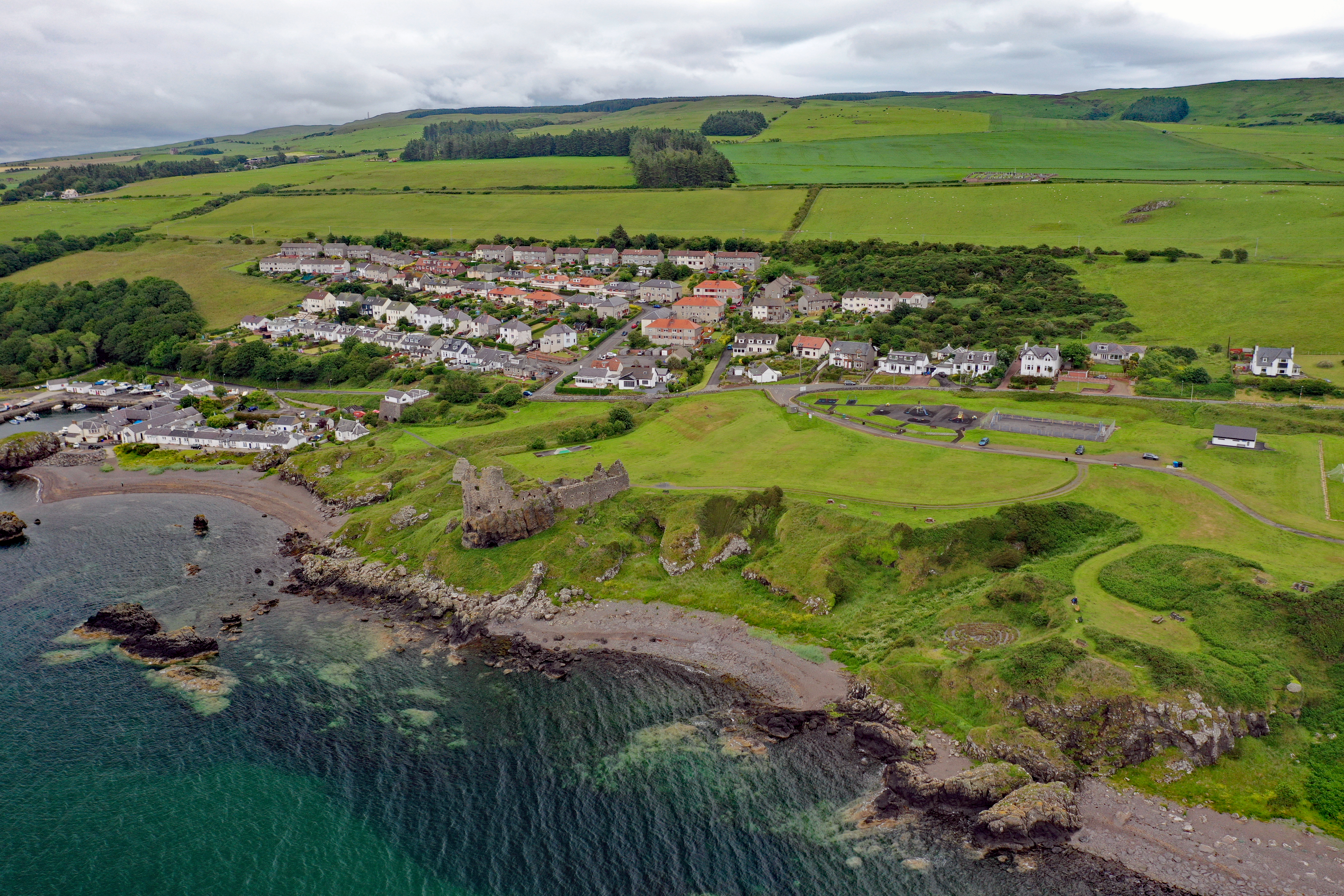
Dunure
Dunure (Scottish Gaelic: Dùn Iùbhair, meaning Yew Hill) is a small village in the South Ayrshire area of Scotland about five miles (eight kilometres) from...
Dunure railway station
Dunure railway station was a railway station serving the village of Dunure, South Ayrshire, Scotland. The station was part of the Maidens and Dunure Light...
Electric Brae
The Electric Brae is a gravity hill in South Ayrshire, Scotland, where a freewheeling vehicle will appear to be drawn uphill by some mysterious attraction...

Knoweside railway station
Knoweside railway station was a railway station serving the village of Knoweside, South Ayrshire, Scotland. The station was part of the Maidens and Dunure...
Heads of Ayr railway station
Heads of Ayr railway station was a railway station serving the Heads of Ayr, South Ayrshire, Scotland. The station was part of the Maidens and Dunure Light...
Balchriston Level Crossing Halt railway station
Balchriston Level Crossing Halt was a railway halt near Culzean Castle, South Ayrshire, Scotland. The halt was part of the Maidens and Dunure Light Railway...
Heads of Ayr Holiday Camp railway station
Heads of Ayr Holiday Camp railway station was a railway station serving the holiday camp and hotel at Heads of Ayr, South Ayrshire, Scotland. The station...
Nearby Amenities
Located within 500m of 55.404887,-4.7626413Have you been to Brownie Cove?
Leave your review of Brownie Cove below (or comments, questions and feedback).