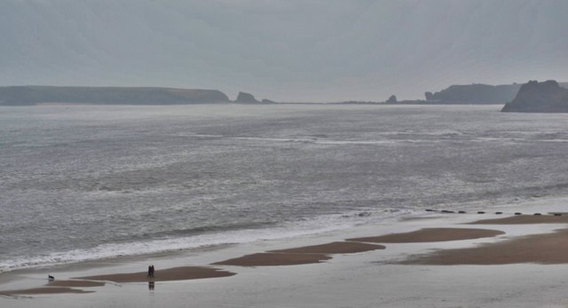
South Beach
Beach in Pembrokeshire
Wales
South Beach

The requested URL returned error: 429 Too Many Requests
If you have any feedback on the listing, please let us know in the comments section below.
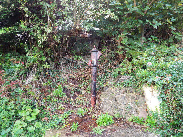
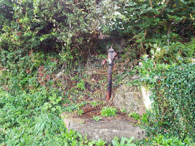
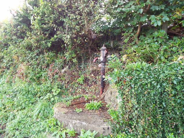
South Beach Images
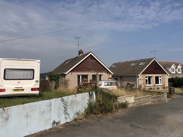
Images are sourced within 2km of 51.665222/-4.7049338 or Grid Reference SS1399. Thanks to Geograph Open Source API. All images are credited.


South Beach is located at Grid Ref: SS1399 (Lat: 51.665222, Lng: -4.7049338)
Unitary Authority: Pembrokeshire
Police Authority: Dyfed Powys
What 3 Words
///dolphins.diggers.schematic. Near Tenby, Pembrokeshire
Nearby Locations
Related Wikis
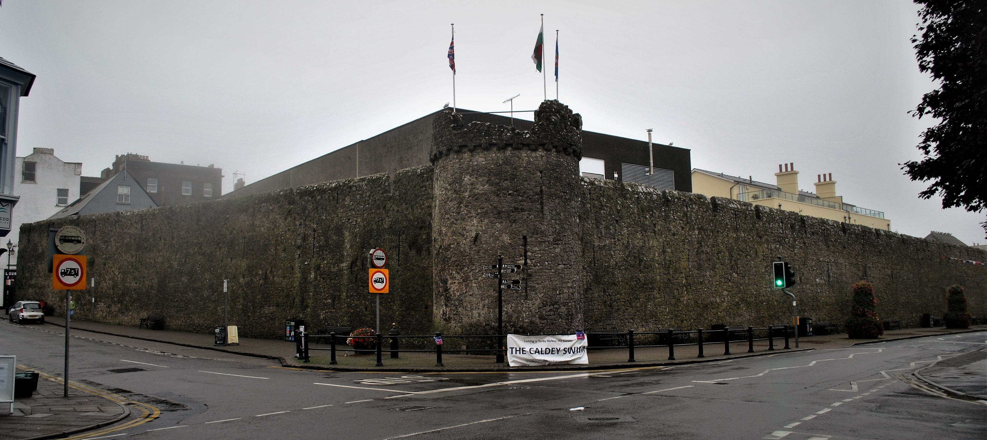
Tenby town walls
The Tenby town walls are Grade I-listed medieval defensive structures around the town of Tenby in Pembrokeshire. They are assessed as one of the most important...

Tenby railway station
Tenby railway station in Tenby is on the Pembroke Dock branch of the West Wales Line operated by Transport for Wales Rail, who also manage the station...
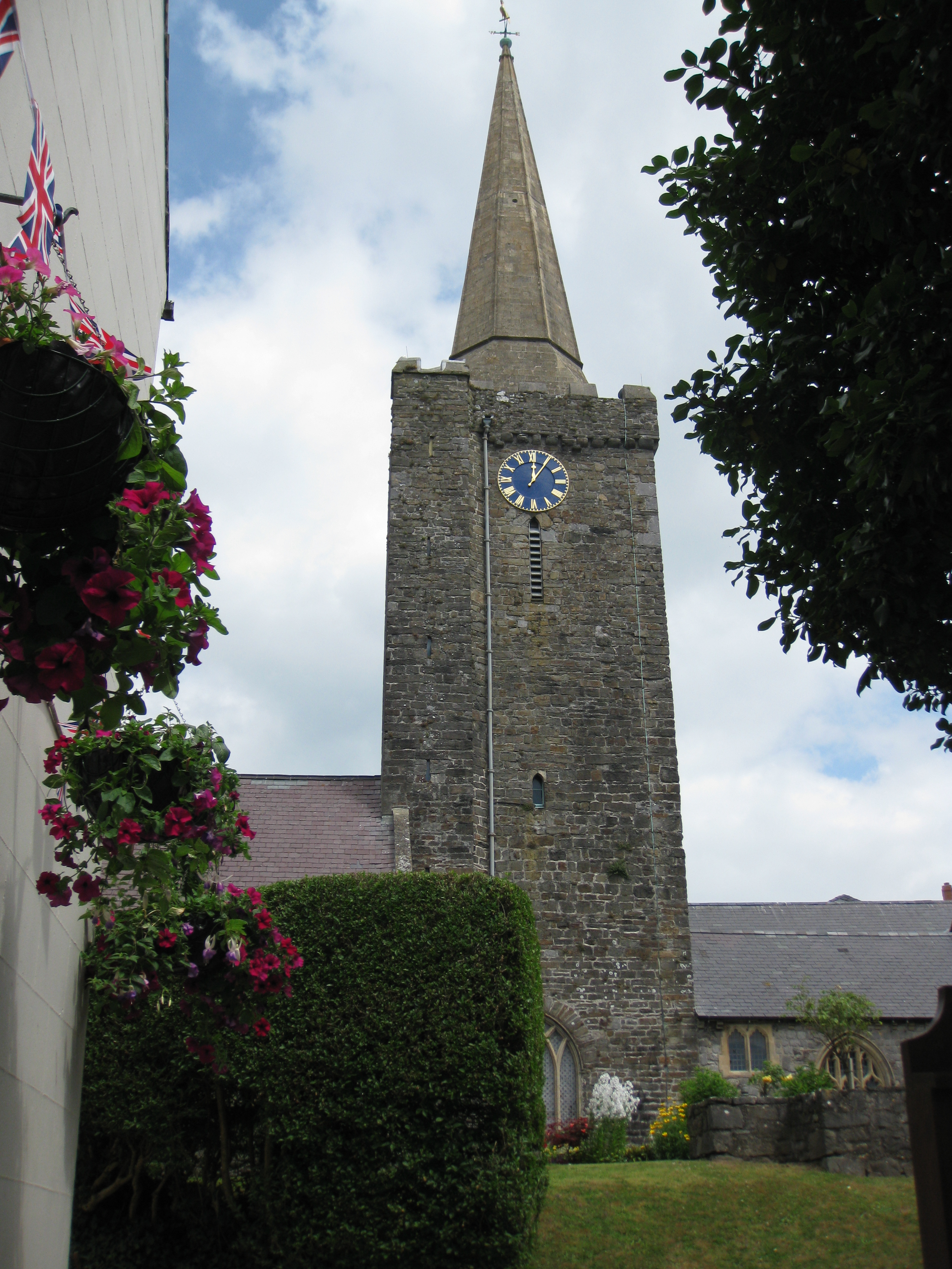
St Mary's Church, Tenby
St Mary's Church, Tenby is a church located in the centre of the town of Tenby in Pembrokeshire, western Wales. The church is in the Diocese of Saint David...
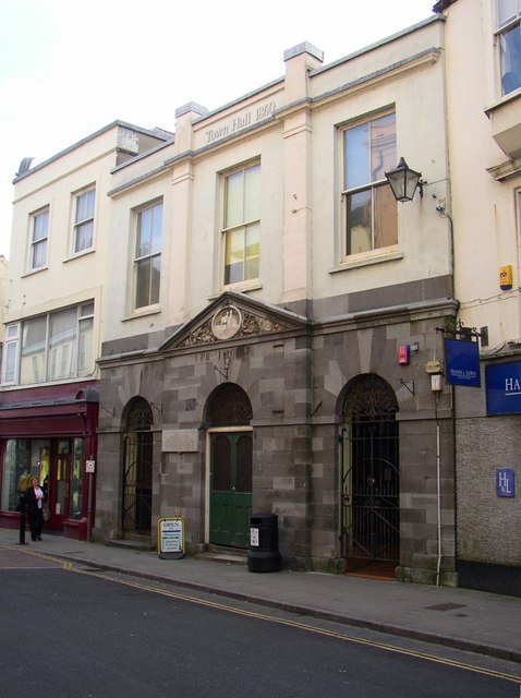
Tenby Town Hall
Tenby Town Hall (Welsh: Neuadd y Dref Dinbych-y-pysgod) is a municipal building in the High Street, Tenby, Pembrokeshire, Wales. The structure, which is...
Nearby Amenities
Located within 500m of 51.665222,-4.7049338Have you been to South Beach?
Leave your review of South Beach below (or comments, questions and feedback).