Altgaltraig Point
Beach in Argyllshire
Scotland
Altgaltraig Point

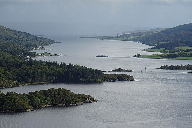
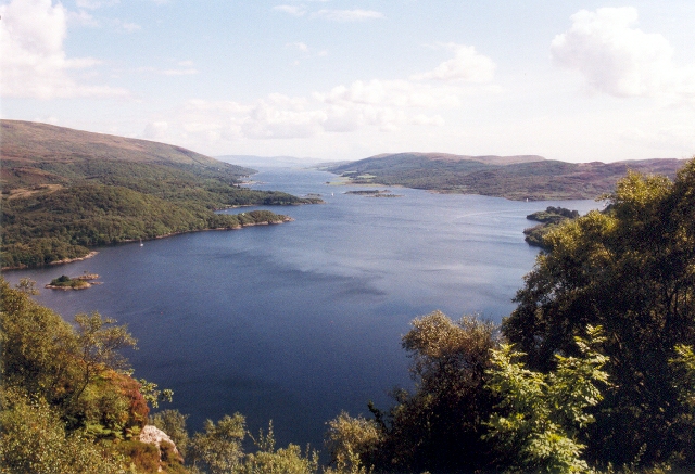
Altgaltraig Point is a picturesque beach located in the region of Argyllshire, Scotland. Situated on the western coast of the country, it offers visitors a breathtaking view of the Atlantic Ocean and the surrounding rugged coastline. The beach is known for its untouched natural beauty and tranquil atmosphere, making it a popular destination for nature lovers and those seeking a peaceful retreat.
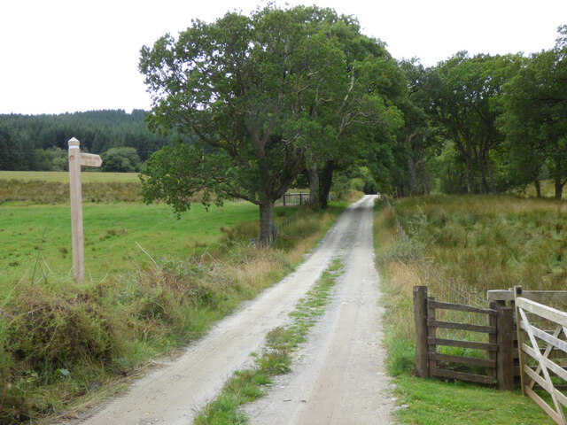
The beach at Altgaltraig Point boasts pristine golden sands that stretch for approximately half a mile. Lined with dunes and backed by rolling hills, it offers a serene and secluded setting. The beach is accessible via a short walk from the nearest car park, ensuring that it remains unspoiled and uncommercialized.
The crystal-clear waters of the Atlantic lap gently against the shore, creating a soothing soundtrack for beachgoers. The beach is also known for its stunning sunsets, which paint the sky with vibrant hues, making it an ideal spot for photography enthusiasts. Seabirds can frequently be spotted soaring above the cliffs, adding to the area's natural charm.
Altgaltraig Point is surrounded by an array of wildlife, including seals, dolphins, and even occasional sightings of whales. The surrounding cliffs and rock formations provide opportunities for exploring tide pools and discovering marine life.
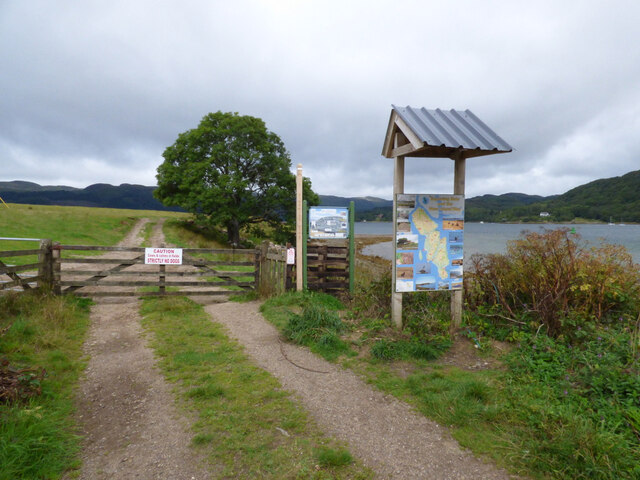
Due to its remote location, facilities at Altgaltraig Point are limited, with no cafes or shops nearby. Visitors are advised to bring their own supplies and be mindful of the tides when exploring the beach. Despite its lack of amenities, its unspoiled beauty and peaceful ambiance make Altgaltraig Point a hidden gem for those seeking a true escape into nature.
If you have any feedback on the listing, please let us know in the comments section below.
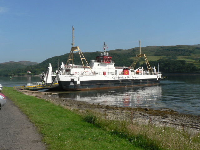
Altgaltraig Point Images
Images are sourced within 2km of 55.916036/-5.1376121 or Grid Reference NS0473. Thanks to Geograph Open Source API. All images are credited.


Altgaltraig Point is located at Grid Ref: NS0473 (Lat: 55.916036, Lng: -5.1376121)
Unitary Authority: Argyll and Bute
Police Authority: Argyll and West Dunbartonshire
What 3 Words
///innovator.rosette.minimums. Near Port Bannatyne, Argyll & Bute
Nearby Locations
Related Wikis
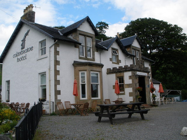
Colintraive Hotel
The Colintraive Hotel (also known as The Colintraive) is a hotel and pub in Colintraive, Argyll and Bute, Scotland. It was formerly a hunting lodge for...

Colintraive
Colintraive (Scottish Gaelic: Caol an t-Snàimh) is a village in Argyll and Bute, Scotland. Once the site where cattle were swum across the narrows to the...
Rhubodach
Rhubodach is a small settlement on the north-eastern shore of the Isle of Bute, Argyll and Bute, Scotland. The name rhubodach may come from the Gaelic...

Burnt Islands
The Burnt Islands (Scottish Gaelic: Na h-Eileanan Loisgte) are three small islands that lie in the Kyles of Bute, on the Cowal Peninsula, Argyll and Bute...

Kyles of Bute
The Kyles of Bute (Scottish Gaelic: Na Caoil Bhòdach) form a narrow sea channel that separates the northern end of the Isle of Bute from the Cowal peninsula...

Eilean Dubh, Kyles of Bute
This particular Eilean Dubh (Scottish Gaelic: Black Island) is sometimes known as Glen Caladh Island and lies just off the Cowal peninsula in the Kyles...

Loch Striven
Loch Striven (Scottish Gaelic: Loch Sroigheann) is a sea loch extending off the Firth of Clyde, and forms part of the Cowal peninsula coast, in Argyll...
Eilean Dearg, Loch Ruel
Eilean Dearg is a small island in Loch Ruel (or Loch Riddon) in Argyll, Scotland. The island was once home to a castle, which was destroyed by naval action...
Nearby Amenities
Located within 500m of 55.916036,-5.1376121Have you been to Altgaltraig Point?
Leave your review of Altgaltraig Point below (or comments, questions and feedback).