Llanaber
Settlement in Merionethshire
Wales
Llanaber

The requested URL returned error: 429 Too Many Requests
If you have any feedback on the listing, please let us know in the comments section below.
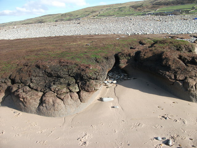
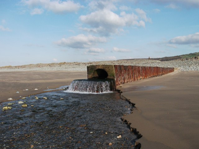
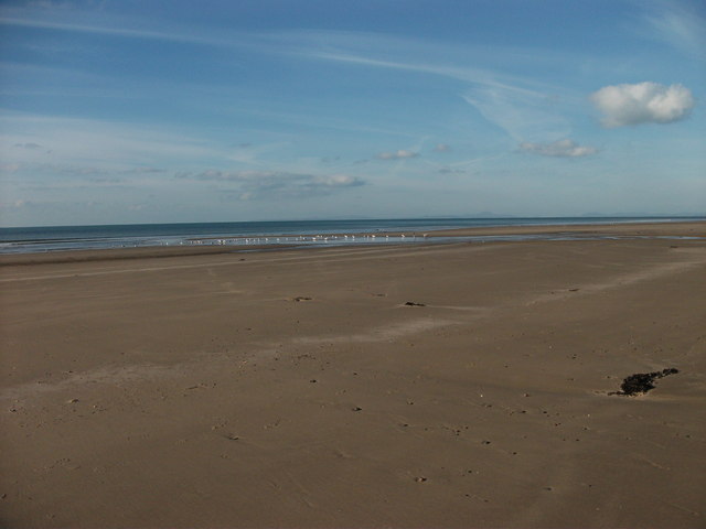
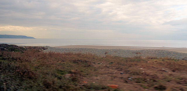
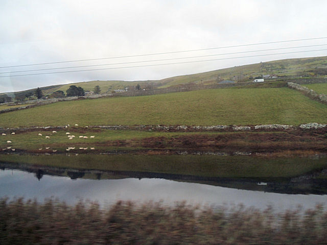
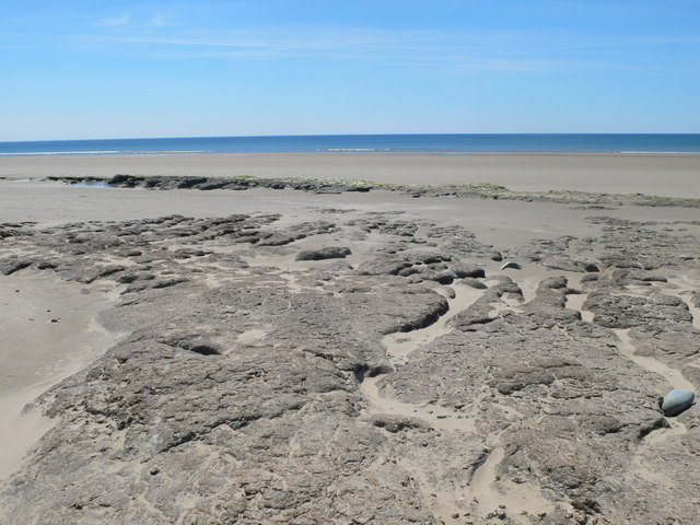
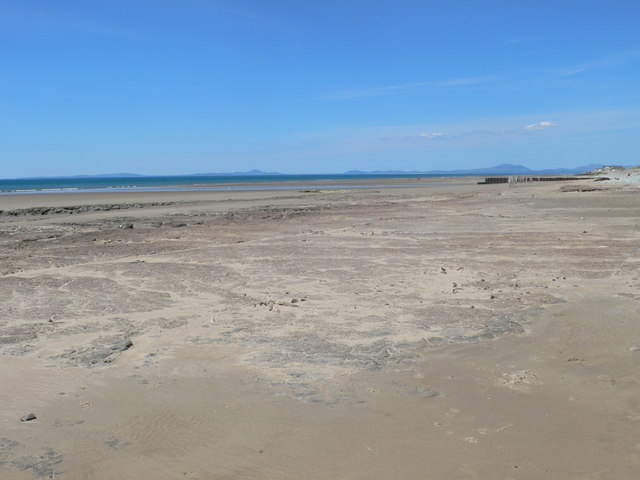
Llanaber Images
Images are sourced within 2km of 52.741269/-4.073958 or Grid Reference SH6017. Thanks to Geograph Open Source API. All images are credited.


Llanaber is located at Grid Ref: SH6017 (Lat: 52.741269, Lng: -4.073958)
Unitary Authority: Gwynedd
Police Authority: North Wales
What 3 Words
///remarks.tailing.thumbnail. Near Barmouth, Gwynedd
Nearby Locations
Related Wikis

Llanaber
Llanaber is a linear coastal village in north west Wales, about 0.7 miles (1.1 km) north of Barmouth on the A496 road. The Irish Sea lies directly to the...
St Mary and St Bodfan Church, Llanaber
St Mary's Church or its full name St Mary and St Bodfan Church is a church located in the village of Llanaber in Wales. St Mary and Bodfan is a Grade I...

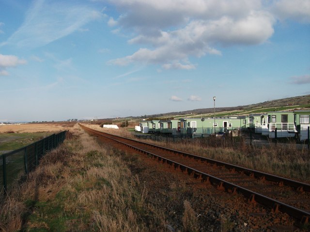
Llanaber railway station
Llanaber railway station serves the village of Llanaber near Barmouth in Gwynedd, Wales. The station is an unstaffed halt on the Cambrian Coast Railway...

Plas Mynach
Plas Mynach is a large country house in Barmouth, Gwynedd, Wales. It is designated by Cadw as a Grade II* listed building, and stands in a prominent position...
Nearby Amenities
Located within 500m of 52.741269,-4.073958Have you been to Llanaber?
Leave your review of Llanaber below (or comments, questions and feedback).