Clachan Meanbh

Beach in Argyllshire

Scotland

Clachan Meanbh

Near the road end at Uisken
Near the road end at Uisken Credit: Steven Brown

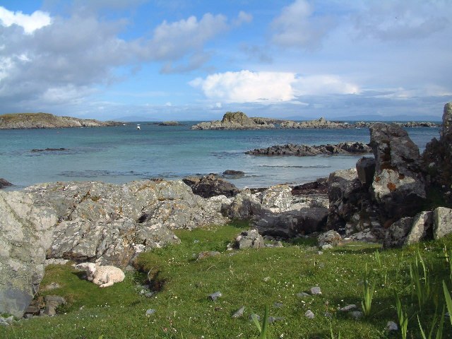
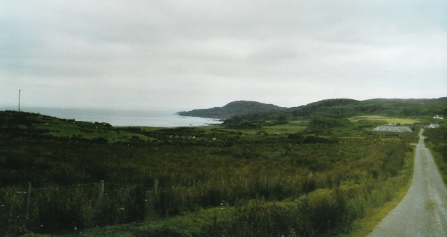
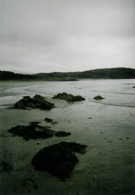
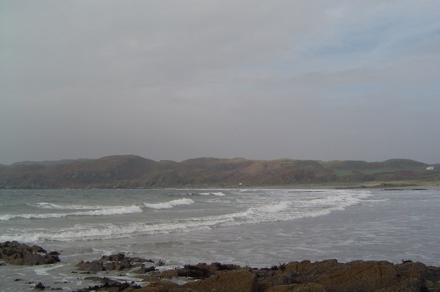
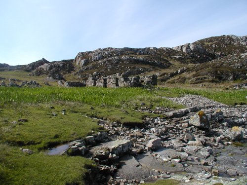
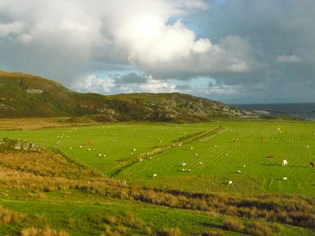
Clachan Meanbh is a picturesque beach located in Argyllshire, Scotland. Situated on the west coast of the country, this beach offers stunning views of the rugged coastline and the sparkling waters of the Atlantic Ocean.

The beach is known for its unspoiled beauty and tranquility, making it a popular destination for nature lovers and those seeking a peaceful retreat. The golden sandy shore stretches for approximately half a mile, providing ample space for visitors to relax, sunbathe, or enjoy a leisurely stroll along the water's edge.

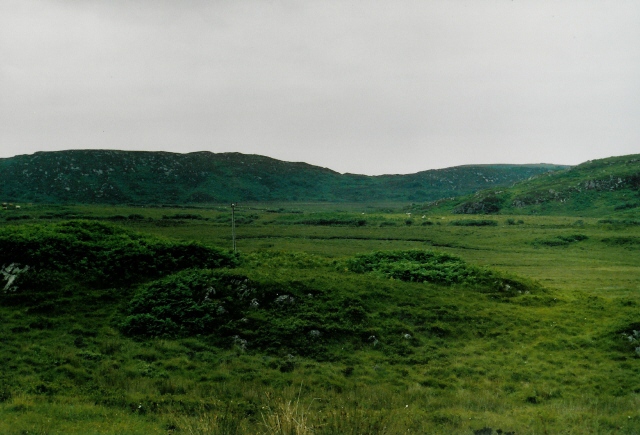
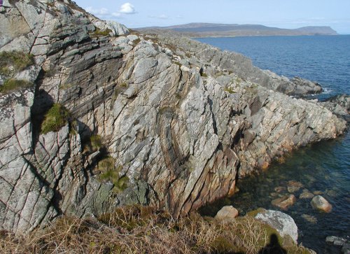
Clachan Meanbh is surrounded by lush greenery, with rolling hills and rocky outcrops adding to its scenic charm. The area is teeming with wildlife, including a variety of bird species, making it a great spot for birdwatching enthusiasts.

The beach is also a haven for water sports enthusiasts, offering excellent conditions for activities such as swimming, snorkeling, and kayaking. The clear waters allow for great visibility, providing an opportunity to explore the marine life beneath the surface.

Facilities at Clachan Meanbh include a small car park and public toilets, ensuring visitors have the necessary amenities during their visit. It is important to note that there are no lifeguards on duty, so caution should be exercised when enjoying the water.

Overall, Clachan Meanbh is a hidden gem in Argyllshire, offering a peaceful and idyllic beach experience with breathtaking natural beauty.

If you have any feedback on the listing, please let us know in the comments section below.

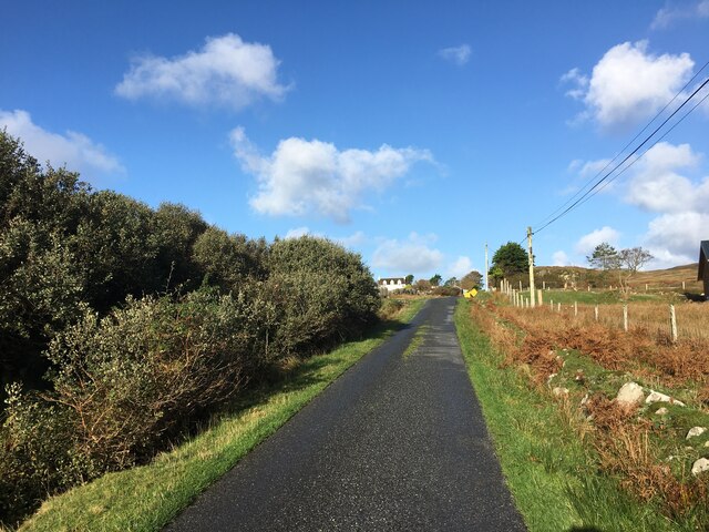
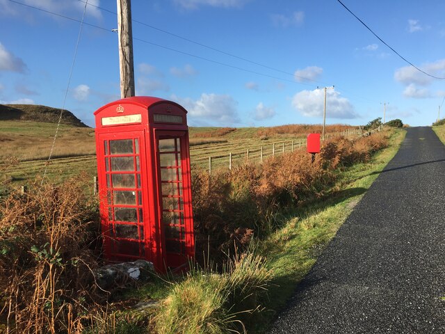
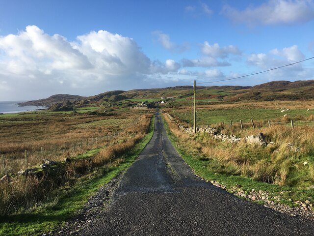
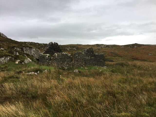
Clachan Meanbh Images

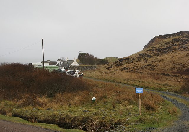
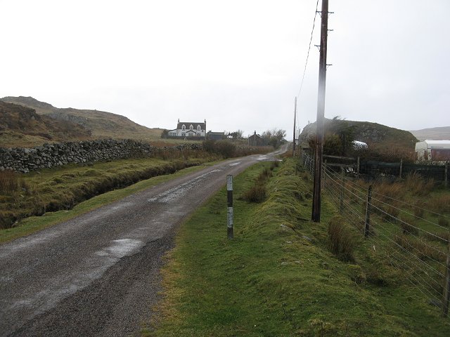
Images are sourced within 2km of 56.286914/-6.2469485 or Grid Reference NM3718. Thanks to Geograph Open Source API. All images are credited.

Near the road end at Uisken
Phone box and postbox near Uisken
Road to Ardachy
Road to Ardachy
Ruin beside the road to Uisken
Port Uisken, Mull Coastline at Uisken on the south side of the Ross of Mull
Port Uisken, Mull
Coastline at Uisken on the south side of the Ross of Mull
Road to Ardalanish A dull day for going to one of the finest beaches in Mull...  The houses down the road are the small village of Ardalanish, the beach is in the cove on the left, the headland beyond is Rubh' Ardalanish.
Road to Ardalanish
A dull day for going to one of the finest beaches in Mull... The houses down the road are the small village of Ardalanish, the beach is in the cove on the left, the headland beyond is Rubh' Ardalanish.
Grazing land near Uisken Poor quality grazing is standard on Mull - no different here on the south coast. Looking northeast (inland) from the road to Uisken.
Grazing land near Uisken
Poor quality grazing is standard on Mull - no different here on the south coast. Looking northeast (inland) from the road to Uisken.
Ardalanish Bay A beautiful beach, even on a grey day!  Looking east towards Aird Dubh
Ardalanish Bay
A beautiful beach, even on a grey day! Looking east towards Aird Dubh
Hebridean woolcraft Isle of Mull weavers are based on a farm at Ardalanish. Well worth a visit (though our Hebridean teddy - made from local brown Hebridean wool - still smells a bit of machine oil !)
Hebridean woolcraft
Isle of Mull weavers are based on a farm at Ardalanish. Well worth a visit (though our Hebridean teddy - made from local brown Hebridean wool - still smells a bit of machine oil !)
Ardachy Farm with damp grazing.
Ardachy
Farm with damp grazing.
Ardachy Cattle grazing on wetland near Ardachy.
Ardachy
Cattle grazing on wetland near Ardachy.
Phone box, Uisken
Phone box, Uisken
Ardchiavaig Coastal property amongst the usual wet grassland.
Ardchiavaig
Coastal property amongst the usual wet grassland.
A dreich day in Uisken Fine drizzle during an otherwise warm April.
A dreich day in Uisken
Fine drizzle during an otherwise warm April.
Ardalanish Bay
Ardalanish Bay
Xenoliths The patches of darker rock set into the pinkish Ross of Mull granite are 'Xenoliths' - lumps of the surrounding rock which broke off and fell into the molten granite while it was deep underground. It has since solidified and been exposed on the surface by erosion.
Xenoliths
The patches of darker rock set into the pinkish Ross of Mull granite are 'Xenoliths' - lumps of the surrounding rock which broke off and fell into the molten granite while it was deep underground. It has since solidified and been exposed on the surface by erosion.
Ruined Cottage A sad reminder that people once lived and worked in this beautiful place. There are piles of stones cleared from the ground to show that the land was cultivated and several other cottages in the vicinity saying that it was a good place to make a living.
Ruined Cottage
A sad reminder that people once lived and worked in this beautiful place. There are piles of stones cleared from the ground to show that the land was cultivated and several other cottages in the vicinity saying that it was a good place to make a living.
View south from near Ardachy, Isle of Mull
Show me another place!

Clachan Meanbh is located at Grid Ref: NM3718 (Lat: 56.286914, Lng: -6.2469485)

Unitary Authority: Argyll and Bute

Police Authority: Argyll and West Dunbartonshire

What 3 Words

///poorly.customers.biked. Near Fionnphort, Argyll & Bute

Related Wikis

Ardalanish

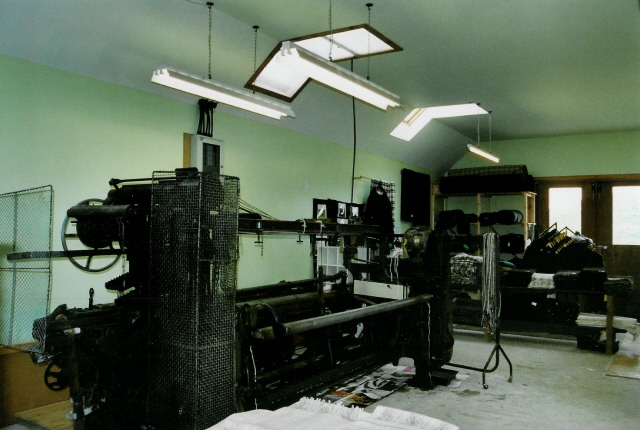
Ardalanish (Scottish Gaelic: Àird Dealanais) is a village on the Isle of Mull in Argyll and Bute, Scotland. It is now an organic farm and weaving mill...
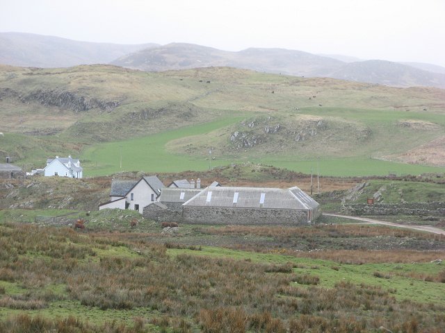
Knocknafenaig

Knocknafenaig (Scottish Gaelic: Cnoc na Fennaig) is a ruined township on the Isle of Mull, Scotland. Located in the south-western portion of the island...

Uisken

Uisken (Scottish Gaelic: Uisgean, meaning "water-bay") is a settlement on a sandy bay on the Ross of Mull in the south of the Isle of Mull, on the west...
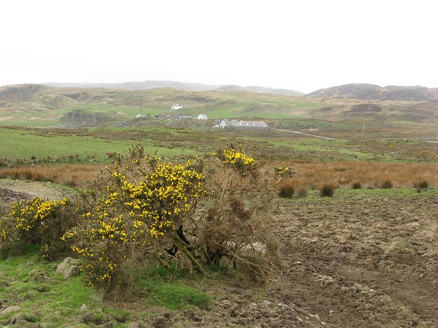
Ross of Mull

The Ross of Mull (Scottish Gaelic: An Ros Mhuileach) is the largest peninsula of the Isle of Mull, about 28 kilometres (17 mi) long, and makes up the south...

Nearby Amenities

Located within 500m of 56.286914,-6.2469485
Source: PGS
Lat/Long: 56.2868069/-6.249934
Source: PGS
Lat/Long: 56.2867594/-6.250326
Source: PGS
Lat/Long: 56.2858964/-6.252033
Source: PGS
Lat/Long: 56.2856643/-6.2522167
Created By: dmgroom_coastlines
Source: PGS
Lat/Long: 56.28505/-6.25164
Created By: dmgroom_coastlines
Source: PGS
Lat/Long: 56.28454/-6.25168
Dun Fuinn
Natural: peak
Lat/Long: 56.2895826/-6.2429956
The data included in this document is from www.openstreetmap.org. The data is made available under ODbL.

Have you been to Clachan Meanbh?

Leave your review of Clachan Meanbh below (or comments, questions and feedback).