Liverpool
Settlement in Lancashire
England
Liverpool

Liverpool is a city located in the county of Lancashire, in the North West of England. With a population of around 500,000 residents, it is one of the largest cities in the UK. Liverpool is known for its rich history, vibrant culture, and strong maritime heritage.
The city is famous for being the birthplace of The Beatles, one of the most iconic and influential bands in the history of music. Liverpool is also home to two Premier League football clubs, Liverpool FC and Everton FC, both of which have passionate fan bases.
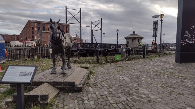
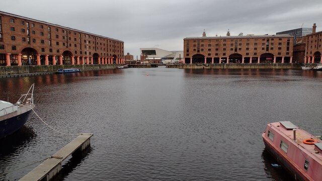
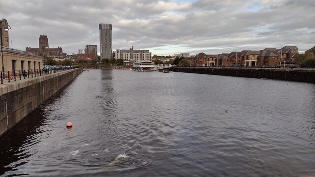
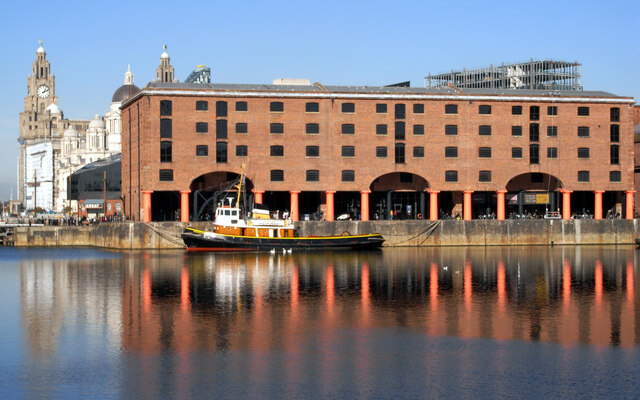
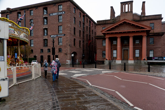
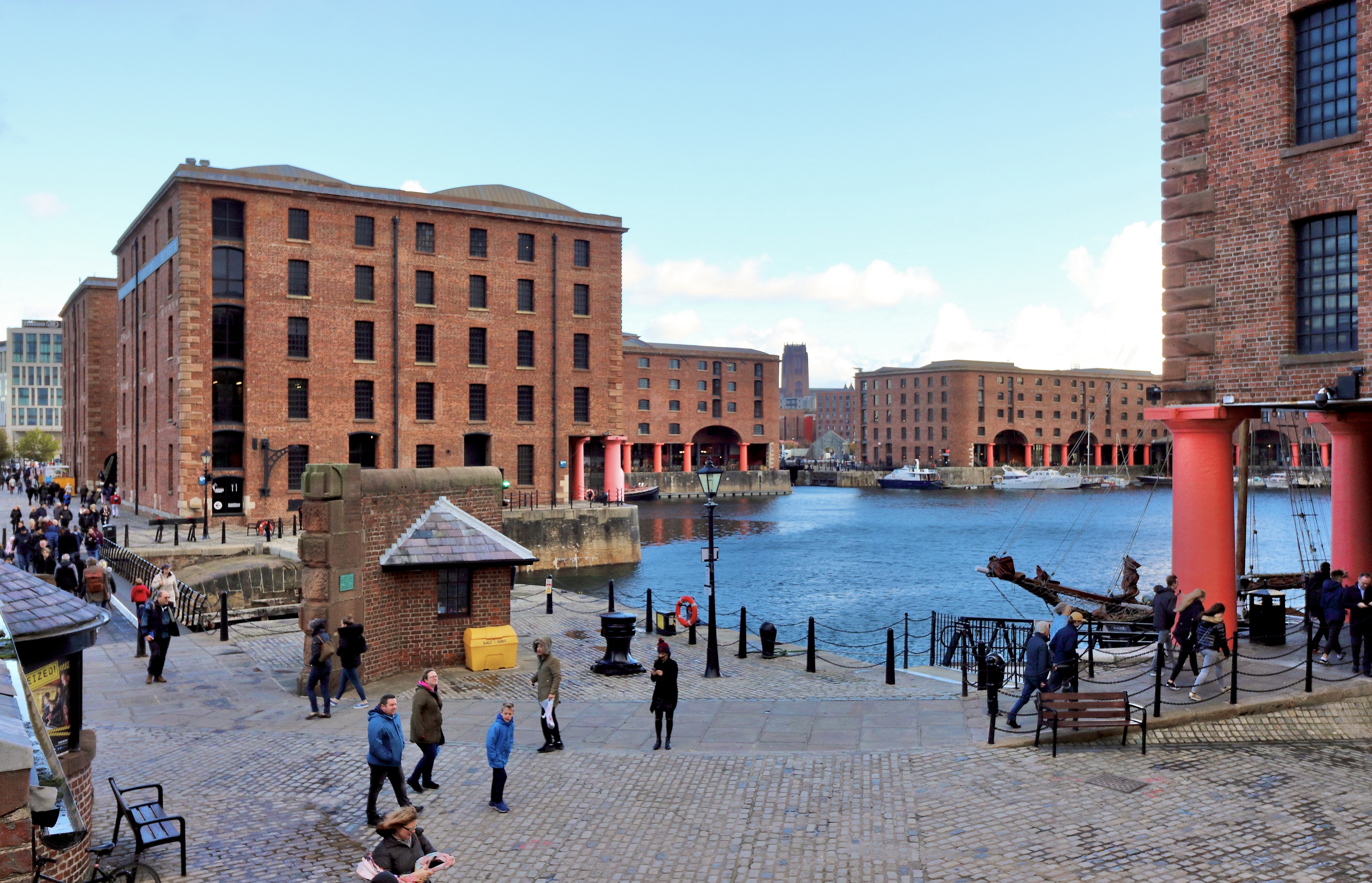
In terms of landmarks, Liverpool is home to the iconic Liverpool Waterfront, which features the Royal Albert Dock, a UNESCO World Heritage Site. The city also boasts a number of museums and galleries, including the Tate Liverpool and the World Museum.
Liverpool is a diverse and multicultural city, with a thriving arts and music scene. It has a number of universities and colleges, making it a popular destination for students. Overall, Liverpool is a dynamic and vibrant city with a rich history and plenty to offer visitors and residents alike.
If you have any feedback on the listing, please let us know in the comments section below.
Liverpool Images
Images are sourced within 2km of 53.409342/-2.978521 or Grid Reference SJ3590. Thanks to Geograph Open Source API. All images are credited.


Liverpool is located at Grid Ref: SJ3590 (Lat: 53.409342, Lng: -2.978521)
Unitary Authority: Liverpool
Police Authority: Merseyside
What 3 Words
///glass.gears.slot. Near Liverpool, Merseyside
Nearby Locations
Related Wikis
Liverpool
Liverpool is a city and metropolitan borough in Merseyside, North West England. It had a population of 486,100 at the 2021 census. The city is located...

Wellington's Column
Wellington's Column, or the Waterloo Memorial, is a monument to the Duke of Wellington standing on the corner of William Brown Street and Lime Street,...
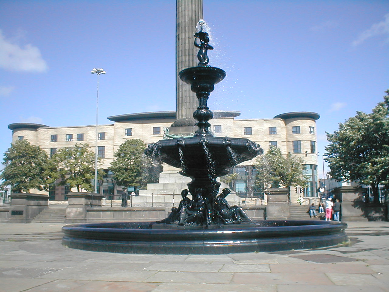
Steble Fountain
The Steble Fountain stands in William Brown Street, Liverpool, England, to the west of Wellington's Column. It is recorded in the National Heritage List...
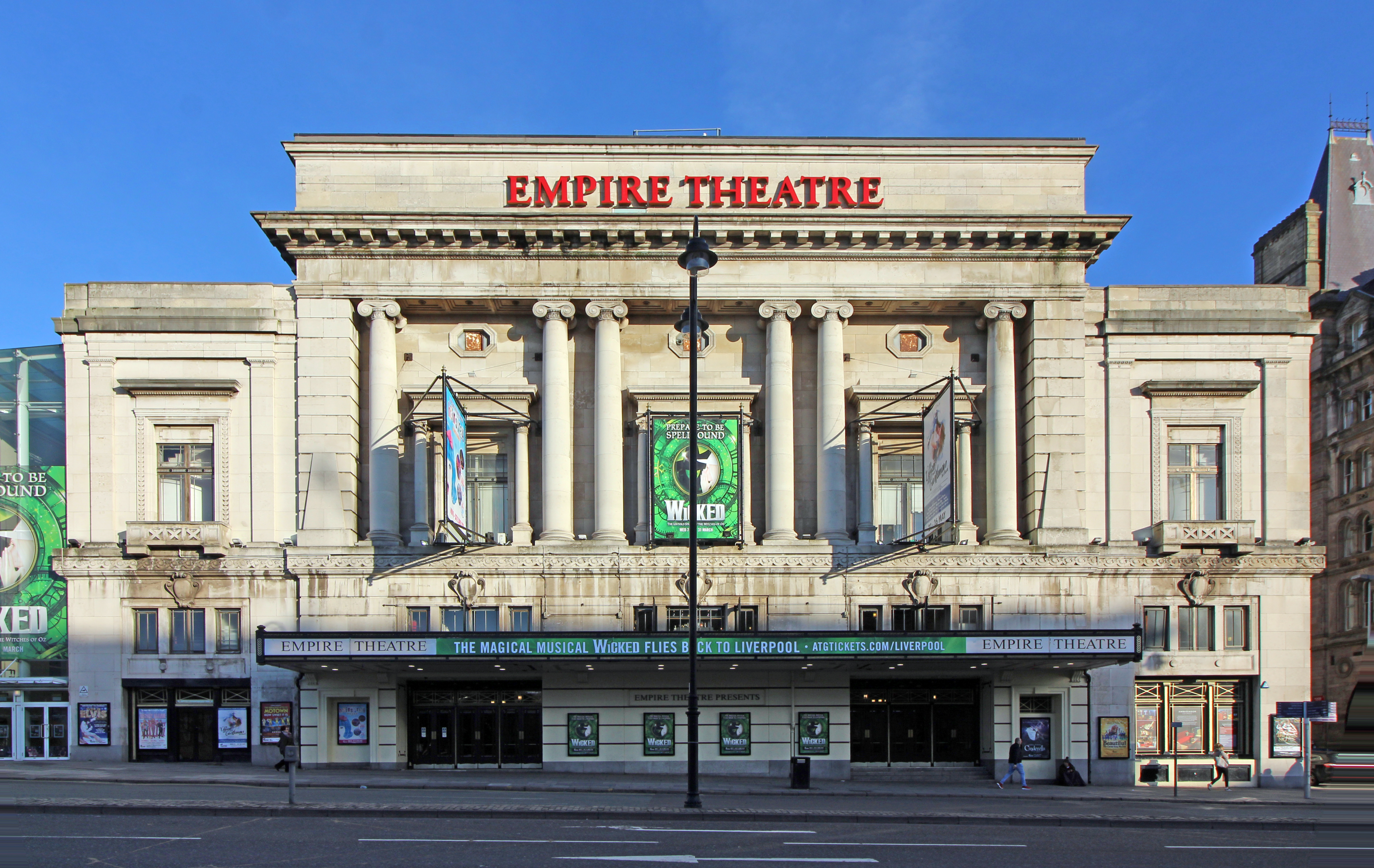
Liverpool Empire Theatre
The Liverpool Empire Theatre is a theatre on the corner of Lime Street in Liverpool, England. The playhouse, which opened in 1925, is the second one to...
Nearby Amenities
Located within 500m of 53.409342,-2.978521Have you been to Liverpool?
Leave your review of Liverpool below (or comments, questions and feedback).