Littleworth

Settlement in Worcestershire Wychavon

England

Littleworth

The B4084 towards Stoulton
The B4084 towards Stoulton Credit: Ian S

Littleworth is a small village located in the county of Worcestershire, England. It is situated approximately 5 miles south of the town of Evesham and is nestled amidst the picturesque countryside of the Vale of Evesham. The village is part of the Wychavon district and is surrounded by the parishes of Badsey, Offenham, and South Littleton.

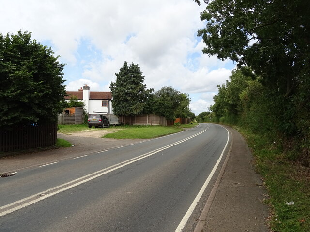
With a population of around 400 residents, Littleworth exudes a charming rural atmosphere. The village is characterized by its quaint cottages, many of which date back several centuries, and its well-preserved historic buildings. The local church, St. Nicholas Church, is a notable landmark, boasting impressive architectural features and a rich heritage.

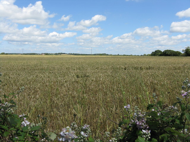
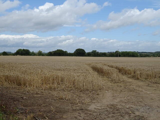
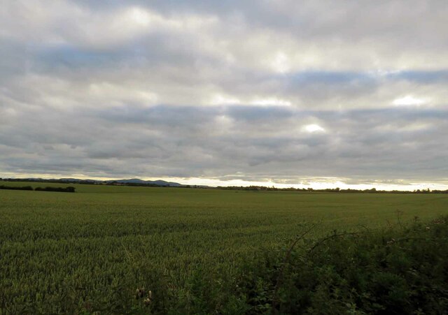
Despite its small size, Littleworth offers a range of amenities to its inhabitants. These include a village hall, a primary school, and a pub, which serves as a gathering place for locals and visitors alike. The village is surrounded by lush green fields and meadows, making it an ideal location for nature enthusiasts and hikers to explore the beautiful Worcestershire countryside.

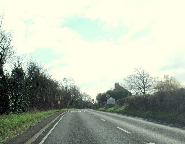
Littleworth is well-positioned for those seeking a peaceful rural lifestyle while remaining within easy reach of larger towns and cities. The nearby town of Evesham provides a wider range of services, including supermarkets, shops, and leisure facilities. The village is also conveniently located close to major transport links, with the A46 and M5 motorway easily accessible, facilitating travel to nearby cities such as Worcester and Birmingham.

Overall, Littleworth offers a tranquil and idyllic setting, making it an attractive place to reside for those seeking a close-knit community and a slower pace of life.

If you have any feedback on the listing, please let us know in the comments section below.
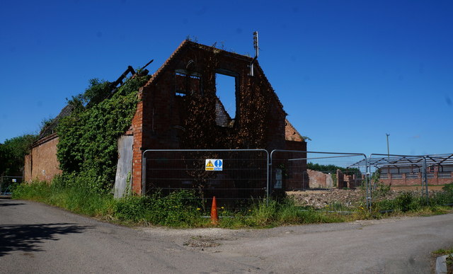
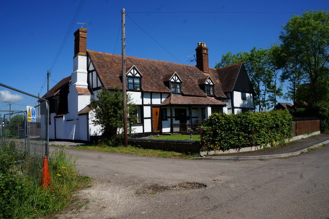
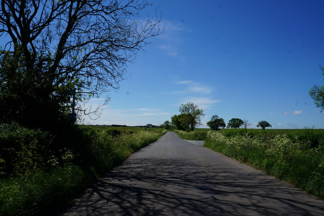
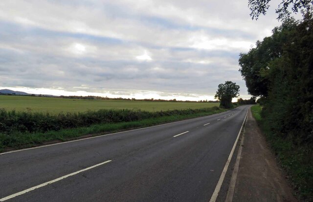
Littleworth Images

Images are sourced within 2km of 52.149035/-2.1704495 or Grid Reference SO8850. Thanks to Geograph Open Source API. All images are credited.

The B4084 towards Stoulton
Field near Stoulton Looking NE along what used to be a track over the ridge and under the railway. Recently ploughed up and re-sown pasture land.
Field near Stoulton
Looking NE along what used to be a track over the ridge and under the railway. Recently ploughed up and re-sown pasture land.
View from Stoulton of The Malvern Hills Supplementary. Worcestershire Beacon and North Hill with Sugarloaf in between.
View from Stoulton of The Malvern Hills
Supplementary. Worcestershire Beacon and North Hill with Sugarloaf in between.
Fields before the Malvern Hills, near Stoulton
Fields near Stoulton
Cereal crop, Stoulton Off the B4084.
Cereal crop, Stoulton
Off the B4084.
B4084, Stoulton Towards Worcester.
B4084, Stoulton
Towards Worcester.
Stoulton village sign on the B4084
Derelict building on Froggery Lane, Stoulton
Houses on Froggery Lane, Stoulton
Wadborough Road near Stoulton
B4064 towards Pershore The bus is probably the last service X50 of the day from Pershore to Worcester timetabled to pass this point at about the time of the picture although no service number shows on the bus to confirm that.
B4064 towards Pershore
The bus is probably the last service X50 of the day from Pershore to Worcester timetabled to pass this point at about the time of the picture although no service number shows on the bus to confirm that.
B4064 towards Worcester
Fields south of the B4084 The Malvern Hills are visible on the horizon.
Fields south of the B4084
The Malvern Hills are visible on the horizon.
Stoulton from the lane to Wadborough
The road through Stoulton Village
Former car sales centre, Stoulton Recently closed car dealership in Stoulton beside the B4084.
Former car sales centre, Stoulton
Recently closed car dealership in Stoulton beside the B4084.
House in Stoulton, Worcestershire
Show me another place!

Littleworth is located at Grid Ref: SO8850 (Lat: 52.149035, Lng: -2.1704495)

Administrative County: Worcestershire

District: Wychavon

Police Authority: West Mercia

What 3 Words

///adopts.whiplash.themes. Near Kempsey, Worcestershire

Nearby Locations

Littleworth

Related Wikis

Littleworth, Worcestershire

Littleworth is a medium-sized village on the outskirts of Worcester. The village is the location of Nortan Juxta Kempsey Primary School and the Norton...

Norton-juxta-Kempsey

Norton-juxta-Kempsey is a civil parish to the south of Worcester in the United Kingdom. It contains the villages of Norton and Littleworth. The parish...

Abbots Wood Junction railway station

Abbots Wood Junction railway station was an early railway station in England, close to Worcester. The station, 68 miles 60 chains (68.75 miles, 110.64...

Hatfield, Worcestershire

Hatfield is a small hamlet in the district of Wychavon near the city of Worcester, in England. It is surrounded by the villages of Littleworth, Norton...

Worcestershire Parkway railway station

Worcestershire Parkway is a split-level railway station where the Cotswold and Cross Country lines cross near Norton, Worcester, England. It opened on...

Norton Halt railway station

Norton Halt railway station was a station in Norton, Worcestershire, England. The station was opened in 1879 and closed in 1966. == References == ��2...
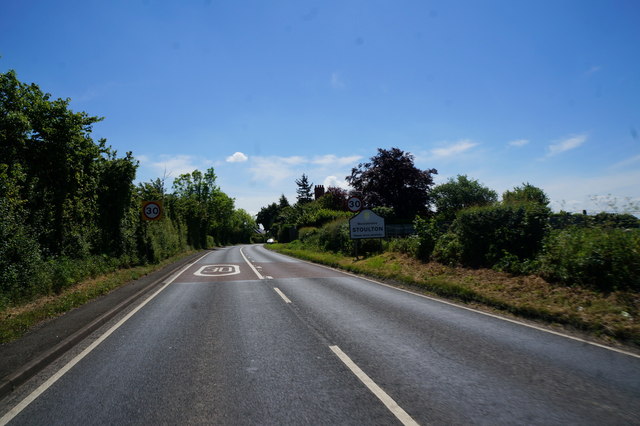
Stoulton

Stoulton or Stoughton is a village and civil parish about 5 miles south west of Worcester, in the Wychavon district, in the county of Worcestershire, England...
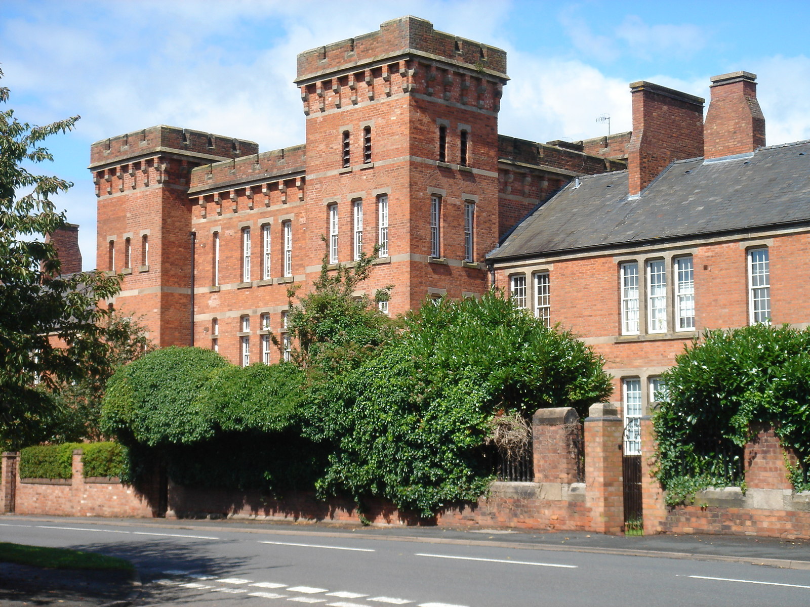
Norton Barracks

Norton Barracks is a military installation in Norton, Worcestershire. The keep is a Grade II listed building. == History == The barracks were built in...

Nearby Amenities

Located within 500m of 52.149035,-2.1704495
Bus Stop
School
Bus: yes
Naptan AtcoCode: 2000G064400
Naptan Bearing: NW
Naptan CommonName: School
Naptan Indicator: opp
Naptan NaptanCode: wocdjpdt
Naptan Street: Wadbourogh Road
Naptan Verified: no
Public Transport: platform
Source: naptan_import
Lat/Long: 52.1497271/-2.171657
Bus Stop
School
Bus: yes
Naptan AtcoCode: 2000G323160
Naptan Bearing: SE
Naptan BusStopType: CUS
Naptan CommonName: School
Naptan Indicator: opp
Naptan Landmark: School
Naptan NaptanCode: wocdtamj
Naptan Street: Wadborough Road
Naptan Verified: no
Public Transport: platform
Source: naptan_import
Lat/Long: 52.1497186/-2.1713646
Bus Stop
Royal British Legion
Bus: yes
Naptan AtcoCode: 2000G600006
Naptan Bearing: NW
Naptan CommonName: Royal British Legion
Naptan Indicator: Adj
Naptan Landmark: Littleworth Royal British Legion
Naptan NaptanCode: wocdpmaj
Naptan Street: Wadborough Road
Naptan Verified: no
Public Transport: platform
Source: naptan_import
Lat/Long: 52.1464419/-2.1679177
Post Box
Collection Times: Mo-Fr 17:30; Sa 09:15
Post Box Type: lamp
Ref: WR5 118
Royal Cypher: EIIR
Royal Cypher Wikidata: Q33102113
Lat/Long: 52.1490926/-2.1702152
Disused
Disused: post_box
Disused Amenity: post_box
Post Box Type: wall
Royal Cypher: VR
Lat/Long: 52.1492827/-2.1711306
Telephone
Booth: K6
Colour: blue
Covered: booth
Man Made: telephone_box
Phone: +44 1905820311
Lat/Long: 52.1490815/-2.1702646
Crossing: uncontrolled
Railway: crossing
Lat/Long: 52.1494589/-2.1631842
Barrier: stile
Foot: yes
Lat/Long: 52.1492499/-2.1654086
Crossing: uncontrolled
Railway: crossing
Lat/Long: 52.1494566/-2.1632412
Barrier: stile
Foot: yes
Lat/Long: 52.1494543/-2.1633346
Barrier: stile
Foot: yes
Lat/Long: 52.1488969/-2.1673525
Barrier: stile
Foot: yes
Lat/Long: 52.1523036/-2.1721662
Barrier: stile
Foot: yes
Lat/Long: 52.1505041/-2.167376
Littleworth
Place: village
Wikidata: Q6653198
Lat/Long: 52.1486618/-2.1691325
Barrier: stile
Foot: yes
Lat/Long: 52.1523222/-2.1720827
Barrier: stile
Foot: yes
Lat/Long: 52.1523449/-2.1671764
Barrier: stile
Foot: yes
Lat/Long: 52.1478254/-2.1701267
Barrier: entrance
Foot: yes
Lat/Long: 52.1473106/-2.171574
Barrier: kissing_gate
Foot: yes
Lat/Long: 52.1528226/-2.1735166
Barrier: stile
Foot: yes
Lat/Long: 52.1464579/-2.1757469
Barrier: stile
Foot: yes
Lat/Long: 52.1471199/-2.1727439
Board Type: notice
Information: board
Tourism: information
Lat/Long: 52.1455759/-2.1663676
Barrier: yes
Lat/Long: 52.1517355/-2.1727209
Generator Method: photovoltaic
Generator Output Electricity: yes
Generator Source: solar
Generator Type: solar_photovoltaic_panel
Location: roof
Power: generator
Lat/Long: 52.1488052/-2.1690944
Generator Method: photovoltaic
Generator Output Electricity: yes
Generator Source: solar
Generator Type: solar_photovoltaic_panel
Location: roof
Power: generator
Lat/Long: 52.148146/-2.1686613
Power: pole
Lat/Long: 52.1527929/-2.1731043
Power: pole
Lat/Long: 52.1521774/-2.1736863
Power: pole
Lat/Long: 52.1512533/-2.1731083
Power: pole
Lat/Long: 52.1516442/-2.1742429
Power: pole
Lat/Long: 52.1520951/-2.17558
Generator Method: photovoltaic
Generator Output Electricity: yes
Generator Source: solar
Generator Type: solar_photovoltaic_panel
Power: generator
Lat/Long: 52.1491669/-2.1777539
Generator Method: photovoltaic
Generator Output Electricity: yes
Generator Source: solar
Generator Type: solar_photovoltaic_panel
Power: generator
Lat/Long: 52.1494689/-2.177027
Power: pole
Lat/Long: 52.1449283/-2.1729957
Power: pole
Lat/Long: 52.1453311/-2.172887
Power: pole
Lat/Long: 52.1458994/-2.1727221
Power: pole
Lat/Long: 52.1464137/-2.1725893
Power: pole
Lat/Long: 52.1471725/-2.1723788
Power: pole
Lat/Long: 52.1493944/-2.1719335
Power: pole
Lat/Long: 52.1488932/-2.1724096
Power: pole
Lat/Long: 52.1480391/-2.1723922
Power: pole
Lat/Long: 52.1494944/-2.1730232
Power: pole
Lat/Long: 52.1492603/-2.1743435
Power: pole
Lat/Long: 52.1491311/-2.1759233
Power: pole
Transformer: distribution
Lat/Long: 52.1496487/-2.1769868
Power: pole
Lat/Long: 52.1490751/-2.176728
Abbots Wood Junction
Power: pole
Transformer: distribution
Voltage Primary: 11000
Lat/Long: 52.1492932/-2.1635952
Power: pole
Lat/Long: 52.1487254/-2.1643053
Power: pole
Lat/Long: 52.1481872/-2.1649712
Power: pole
Lat/Long: 52.1476741/-2.1661976
Power: pole
Lat/Long: 52.1472408/-2.1672336
Power: pole
Lat/Long: 52.1469338/-2.1679658
Littleworth East
Power: pole
Transformer: distribution
Voltage Primary: 11000
Lat/Long: 52.1465413/-2.1683018
Power: pole
Lat/Long: 52.1461487/-2.16984
Power: pole
Lat/Long: 52.146296/-2.1713287
Power: transformer
Transformer: distribution
Voltage Primary: 11000
Lat/Long: 52.148734/-2.1678565
Littleworth
Power: transformer
Transformer: distribution
Voltage Primary: 11000
Lat/Long: 52.1495935/-2.1715634
Location Transition: yes
Power: pole
Lat/Long: 52.1503366/-2.1732967
Power: pole
Lat/Long: 52.1503786/-2.1733464
The data included in this document is from www.openstreetmap.org. The data is made available under ODbL.

Have you been to Littleworth?

Leave your review of Littleworth below (or comments, questions and feedback).