Bae Caergybi

Bay in Anglesey

Wales

Bae Caergybi

Eglwys Llanfigael
Eglwys Llanfigael Credit: Chris Andrews

The requested URL returned error: 429 Too Many Requests

If you have any feedback on the listing, please let us know in the comments section below.
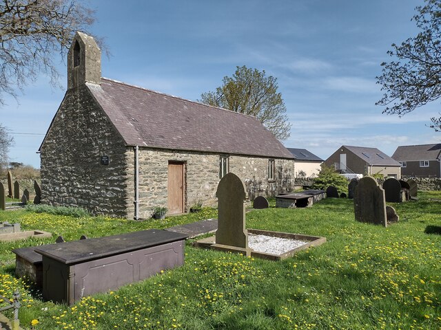
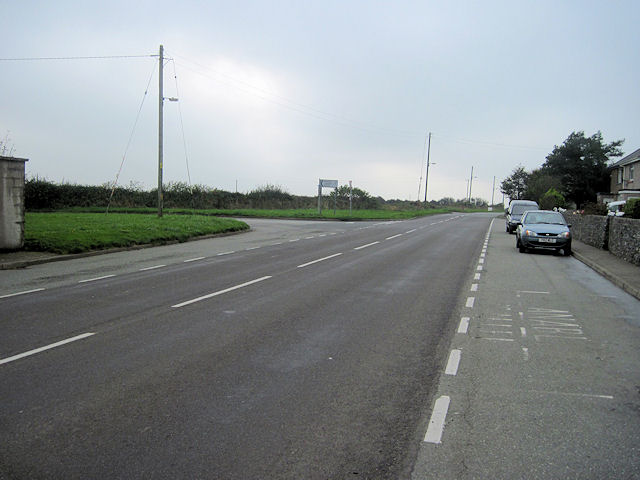
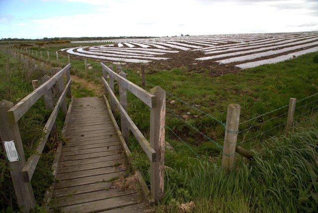
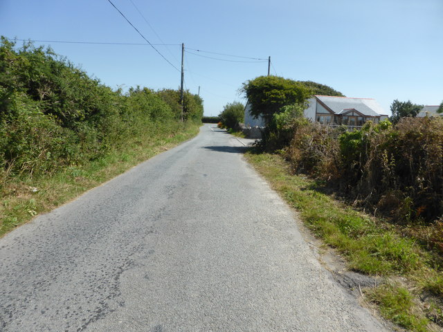
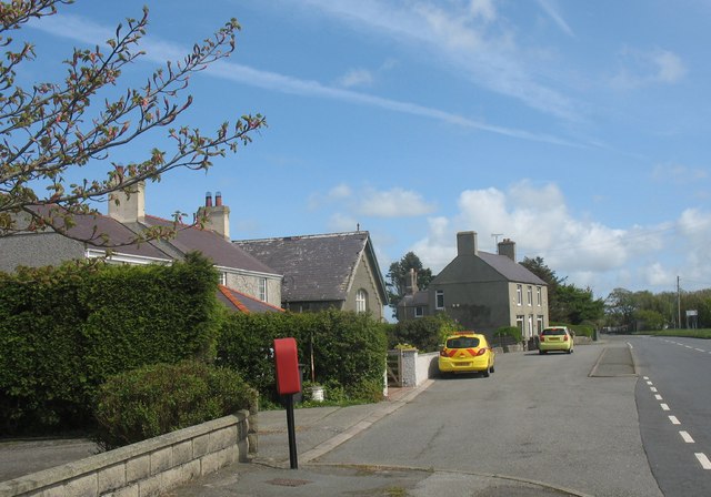
Bae Caergybi Images

Images are sourced within 2km of 53.309107/-4.5307488 or Grid Reference SH3182. Thanks to Geograph Open Source API. All images are credited.

Eglwys Llanfigael
Eglwys Llanfigael
A5025 south at Llanynghenedl From lay by at junction with B5109
A5025 south at Llanynghenedl
From lay by at junction with B5109
A5025 north at Llanynghenedl From lay-by by phone box
A5025 north at Llanynghenedl
From lay-by by phone box
A5025 through Llanfachraeth Looking towards Amlwch. Wynnstay stores can be seen to the left behind the blue car
A5025 through Llanfachraeth
Looking towards Amlwch. Wynnstay stores can be seen to the left behind the blue car
A5025 north just by Penterfyn Penterfyn lies just before the turn off to Ty Hen
A5025 north just by Penterfyn
Penterfyn lies just before the turn off to Ty Hen
Llanfachraeth grassland
Footbridge on Anglesey Coastal Path near Llanfachraeth An interesting, well designed footbridge on the Anglesey Coastal Path near Llanfachraeth
Footbridge on Anglesey Coastal Path near Llanfachraeth
An interesting, well designed footbridge on the Anglesey Coastal Path near Llanfachraeth
Wynnstay Stores, Llanfachraeth
Access road to Ty Croes, Llanfachraeth
Holland Hotel, Llanfachraeth
Chapel, Llanfachraeth
Pont Aber Alaw Aber Alaw footbridge on the Anglesey Coastal Path,a thoughtfully designed project featuring several metal artwork discs detailing the story of Branwen due to its relevance to the area.
Pont Aber Alaw
Aber Alaw footbridge on the Anglesey Coastal Path,a thoughtfully designed project featuring several metal artwork discs detailing the story of Branwen due to its relevance to the area.
Chapel at Llanfachraeth Chapel, schoolroom and manse I assume.
Chapel at Llanfachraeth
Chapel, schoolroom and manse I assume.
Chapel at Llanfachraeth Chapel and schoolroom.
Chapel at Llanfachraeth
Chapel and schoolroom.
Footbridge on Coastal Path Footbridge on coastal path with adjacent fields covered with degradable plastic film used to protect and encourage maize seedlings to grow.
Footbridge on Coastal Path
Footbridge on coastal path with adjacent fields covered with degradable plastic film used to protect and encourage maize seedlings to grow.
Looking towards Mynydd-y-gôf
The lane to Fadog
The lane to Fadog
Minor road at Ty Gwyn
Show me another place!

Bae Caergybi is located at Grid Ref: SH3182 (Lat: 53.309107, Lng: -4.5307488)

Unitary Authority: Isle of Anglesey

Police Authority: North Wales

Also known as: Holyhead Bay

What 3 Words

///glove.blatantly.securing. Near Llanfachraeth, Isle of Anglesey

Related Wikis

Llanfachraeth

Llanfachraeth is a village and community in Anglesey, Wales. It is located near the west coast of the island, at the head of the Alaw estuary, 6.2 miles...

Llanllibio

Llanllibio is a hamlet in the community of Bodedern, Anglesey, Wales, named after Saint Llibio which is 138.5 miles (222.9 km) from Cardiff and 223 miles...

Llanynghenedl

Llanynghenedl is a village in Anglesey, in north-west Wales. It is located on the A5025 about 2 miles north-east of Valley and the A5. The village was...

St Enghenedl's Church, Llanynghenedl

St Enghenedl's Church, Llanynghenedl, is a former parish church in Anglesey, north Wales, dedicated to the son of a 6th-century King of Powys. According...

Nearby Amenities

Located within 500m of 53.309107,-4.5307488
Source: PGS
Lat/Long: 53.3094246/-4.5382303
Source: PGS
Lat/Long: 53.3098053/-4.5375742
Source: PGS
Lat/Long: 53.3101864/-4.5369235
Source: PGS
Lat/Long: 53.3108101/-4.5372459
Source: PGS
Lat/Long: 53.3108749/-4.5366274
Source: PGS
Lat/Long: 53.3100592/-4.5364488
Source: PGS
Lat/Long: 53.309921/-4.5354633
Source: PGS
Lat/Long: 53.3097556/-4.5344908
Source: PGS
Lat/Long: 53.3095055/-4.5345399
Source: PGS
Lat/Long: 53.3096789/-4.5357973
Source: PGS
Lat/Long: 53.3097241/-4.5365671
Source: PGS
Lat/Long: 53.3096023/-4.5369914
Source: PGS
Lat/Long: 53.3094318/-4.5373948
Source: PGS
Lat/Long: 53.3091811/-4.537744
Source: PGS
Lat/Long: 53.3084548/-4.5379645
Source: PGS
Lat/Long: 53.3080644/-4.5377526
Source: PGS
Lat/Long: 53.3078647/-4.5378948
Post Office
Llanfachraeth Post Office
Addr Postcode: LL65 4UL
Brand: Post Office
Brand Wikidata: Q1783168
Ref Pol Id: 9818
Lat/Long: 53.3117709/-4.5302766
Direction: 95
Generator Method: photovoltaic
Generator Output Electricity: yes
Generator Solar Modules: 16
Generator Source: solar
Generator Type: solar_photovoltaic_panel
Location: roof
Power: generator
Lat/Long: 53.3113987/-4.5340316
Post Box
Post Box Type: lamp
Royal Cypher: EIIR
Lat/Long: 53.3118891/-4.5303162
The data included in this document is from www.openstreetmap.org. The data is made available under ODbL.

Have you been to Bae Caergybi?

Leave your review of Bae Caergybi below (or comments, questions and feedback).