Littleworth
Settlement in Staffordshire Stafford
England
Littleworth
Littleworth is a small village located in the county of Staffordshire, England. Situated approximately 3 miles west of Cannock, it falls within the Cannock Chase District Council area. The village is nestled amidst picturesque countryside and boasts a traditional English charm.
Littleworth is home to a close-knit community, with a population of around 1,200 residents. The village features a mix of both historic and modern properties, giving it a diverse architectural character. The surrounding landscape is predominantly rural, offering stunning views and a peaceful atmosphere.
The village benefits from a range of amenities that cater to the needs of its residents. These include a local primary school, a community center, a church, and a handful of shops and local businesses. Littleworth is also well-connected to neighboring towns, with regular bus services providing convenient transportation options.
Nature lovers can take advantage of the village's proximity to Cannock Chase, an Area of Outstanding Natural Beauty. This expansive forest is renowned for its diverse wildlife and provides ample opportunities for outdoor activities such as hiking, cycling, and horse riding. Additionally, the nearby Chasewater reservoir offers water-based recreational activities, including sailing and fishing.
Littleworth's location makes it an ideal base for exploring the wider Staffordshire region. The village is within easy reach of attractions such as the historical city of Lichfield, the National Memorial Arboretum, and the Staffordshire Hoard Exhibition. With its tranquil setting and convenient amenities, Littleworth provides a desirable place to live for those seeking a peaceful yet well-connected village lifestyle.
If you have any feedback on the listing, please let us know in the comments section below.
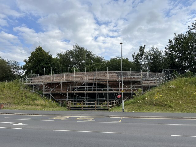
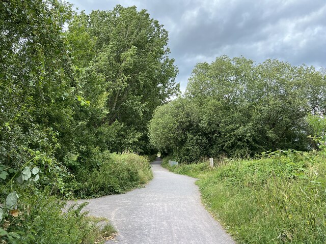
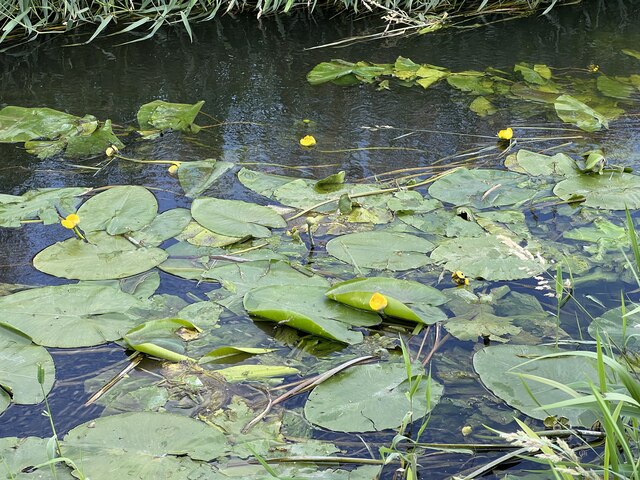
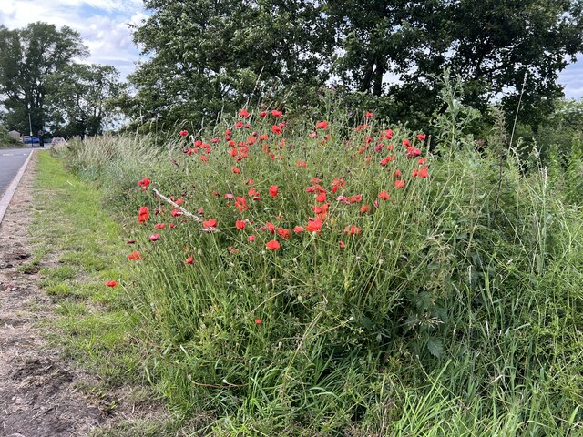
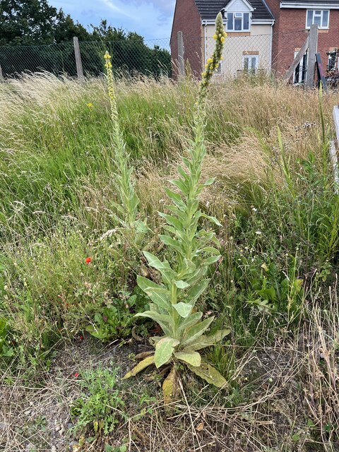
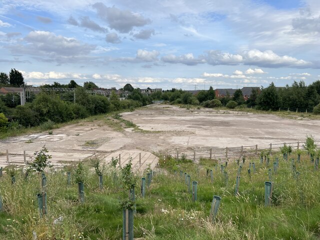
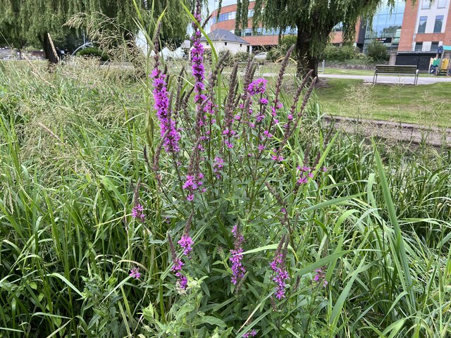
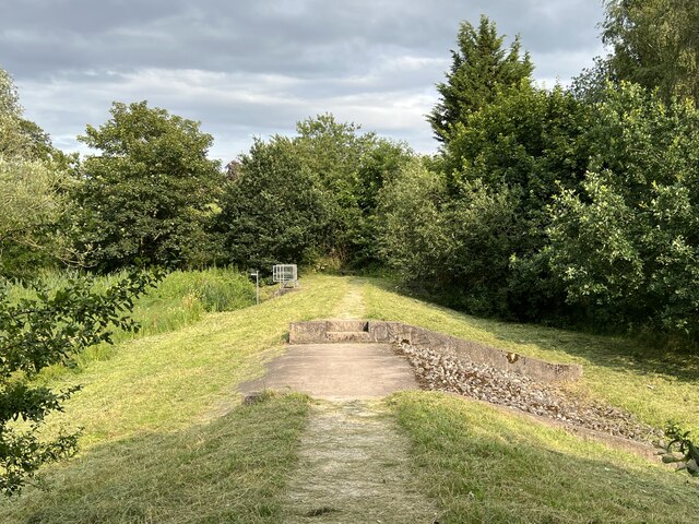
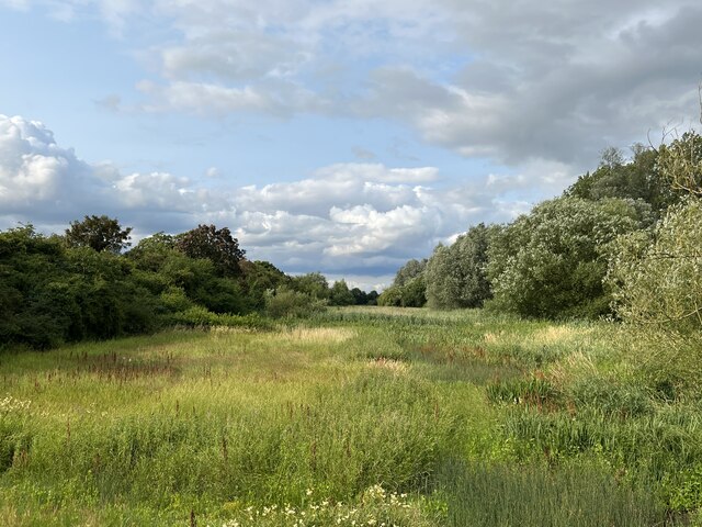
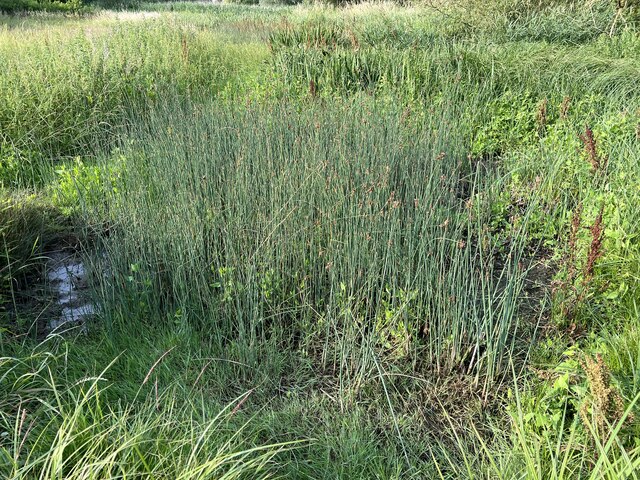
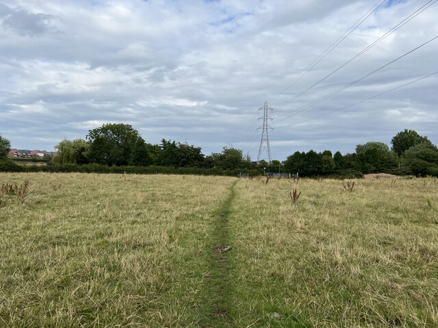
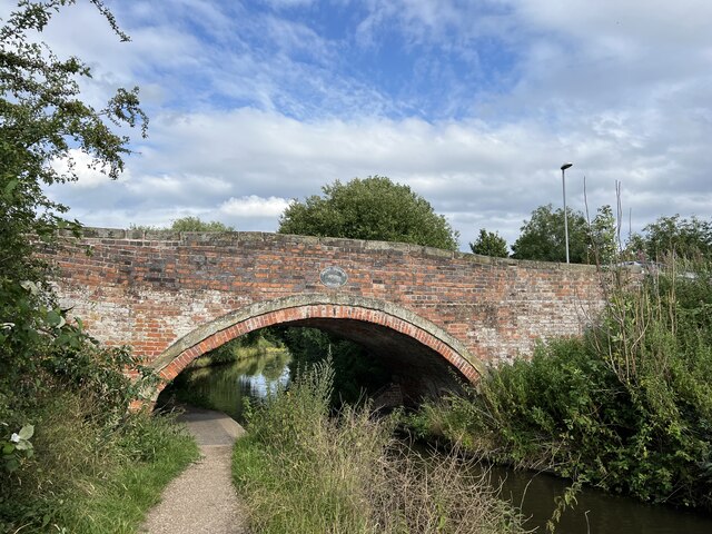
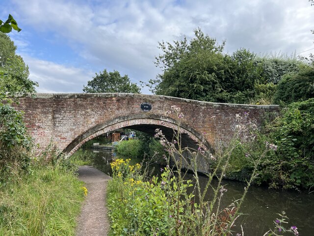
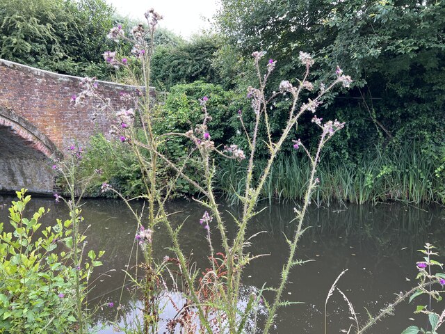
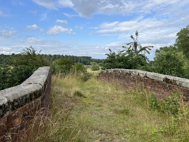
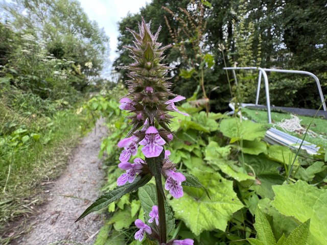
Littleworth Images
Images are sourced within 2km of 52.804038/-2.102319 or Grid Reference SJ9322. Thanks to Geograph Open Source API. All images are credited.


Littleworth is located at Grid Ref: SJ9322 (Lat: 52.804038, Lng: -2.102319)
Administrative County: Staffordshire
District: Stafford
Police Authority: Staffordshire
What 3 Words
///homes.usage.spoke. Near Stafford, Staffordshire
Nearby Locations
Related Wikis

Littleworth, Stafford
Littleworth is a former village now forming part of the eastern end of the county town of Stafford in the English county of Staffordshire. Littleworth...

Mid Staffordshire Postgraduate Medical Centre
Mid Staffordshire Postgraduate Medical Centre is a Medical Education establishment situated in Stafford, England. The Centre is located in the grounds...
Beaconside
Beaconside is an area in Stafford, Staffordshire, England. The district is home to the Stafford branch of Staffordshire University along with the Ministry...

County Hospital, Stafford
County Hospital is an acute hospital with less than 200 inpatient beds, opened in 1983. It is the main hospital in Stafford, England. The hospital is managed...
Kingsmead Marsh
Kingsmead Marsh is a local nature reserve near Stafford, in Staffordshire, England. Its area is about 6 hectares (15 acres), and it is designated a Grade...

William Salt Library
The William Salt Library is a library and archive, in Stafford, Staffordshire, England. Supported by Staffordshire County Council, it is a registered charity...
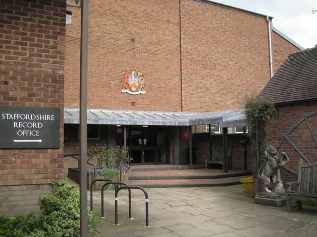
Staffordshire Record Office
Staffordshire Record Office is the county record office for Staffordshire, England. It is run by Staffordshire County Council, and is located in Eastgate...
Stafford Hospital scandal
The Stafford Hospital scandal concerns poor care and high mortality rates amongst patients at the Stafford Hospital, Stafford, England, during the first...
Related Videos

Choo Choo to Isabel Trail parkrun tourism adventure
I was joined by Ewan rather than Iona this week for our parkrun tourism adventure and we visited Isabel Trail parkrun in Stafford.

A Walk Down Stafford High Street, UK in 4K
Stafford High Street. February 2024 #walk #stafford #staffordhighstreet.

Weekend walk: what interesting things you will see in Stafford
What is the town of Stafford county Staffordshire, in the West Midlands region of England. It lies about 15 miles north of ...
Maximum video zoom on @OPPOglobal find x7 ultra
check this out oppo find X7 ultra maximum zoom during recording 18x Stick around because I will be making a full camera review ...
Nearby Amenities
Located within 500m of 52.804038,-2.102319Have you been to Littleworth?
Leave your review of Littleworth below (or comments, questions and feedback).