Bae Caernarfon

Bay in Anglesey

Wales

Bae Caernarfon

Porth Melin Ifan Owen
Porth Melin Ifan Owen Credit: Alistair Hare

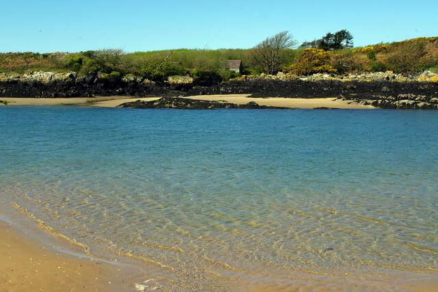
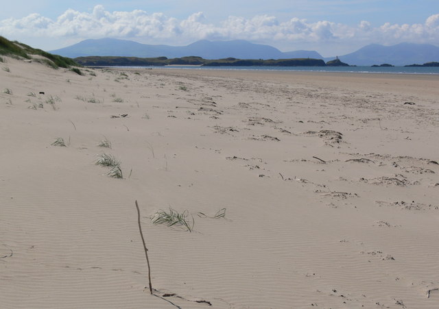
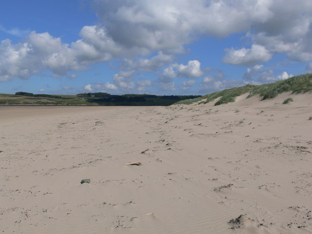
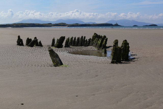
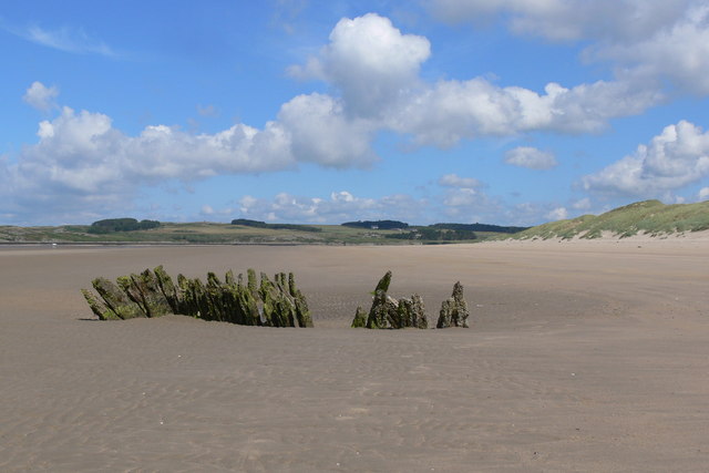
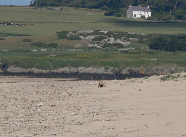
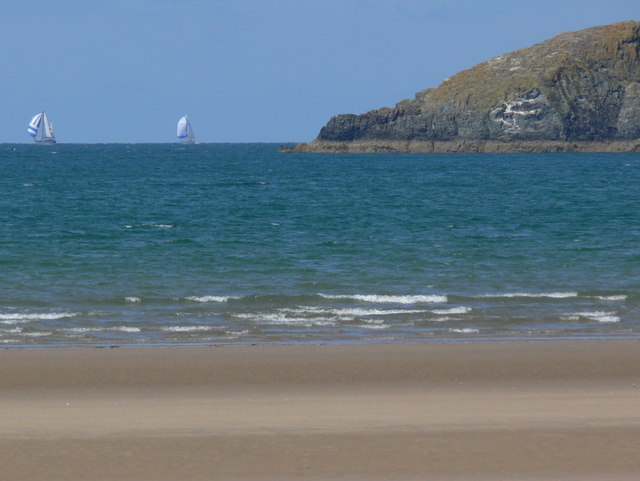
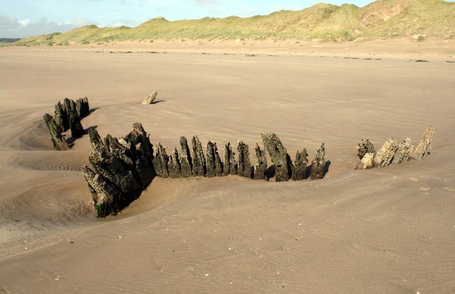
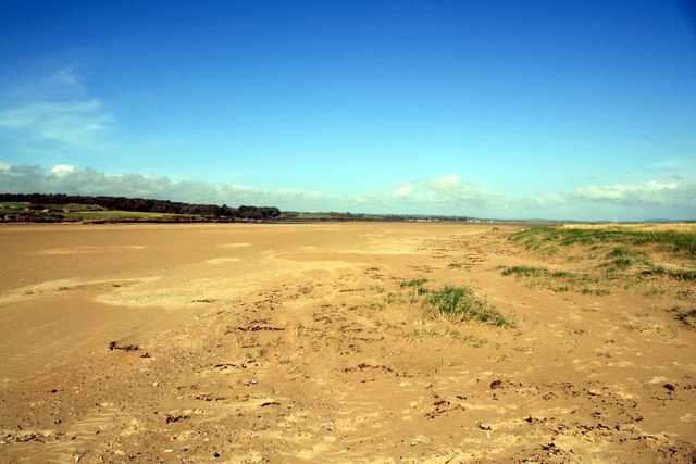
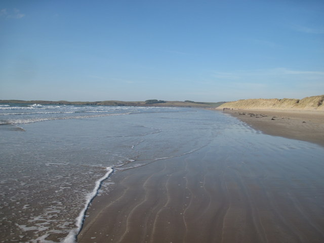
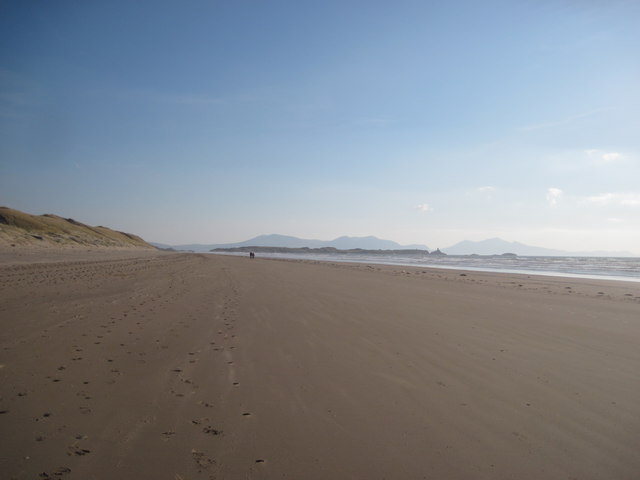
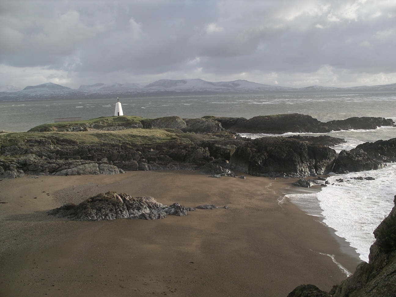
Bae Caernarfon, also known as Caernarfon Bay, is a large body of water located on the west coast of Anglesey, an island off the northwest coast of Wales. The bay stretches from the Menai Strait in the south to the town of Aberffraw in the north, covering an area of approximately 100 square kilometers.

The bay is surrounded by beautiful landscapes, including the Snowdonia National Park to the east and the Llŷn Peninsula to the west. It offers stunning views of the mountains and the rugged coastline, making it a popular destination for nature lovers and outdoor enthusiasts.

The bay is home to a diverse range of wildlife, including various species of birds, seals, and dolphins. It is a designated Special Protection Area and a Site of Special Scientific Interest due to its importance for breeding and wintering birds.

Bae Caernarfon has a rich history and is known for its connection to Welsh mythology and folklore. The town of Caernarfon, located at the southern end of the bay, is famous for its medieval castle, which was built by Edward I of England in the 13th century. The castle and the town itself attract thousands of visitors each year.

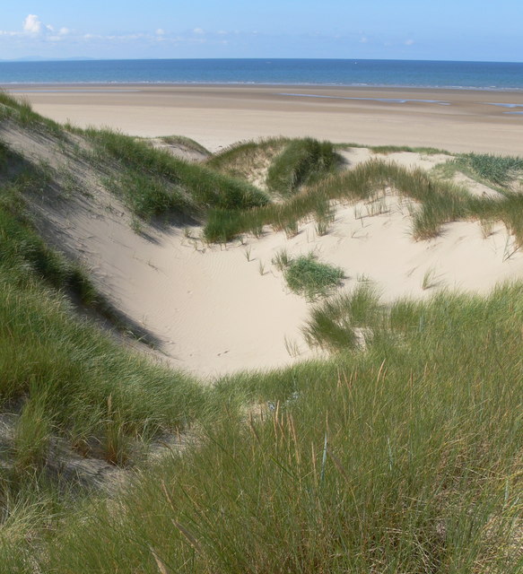
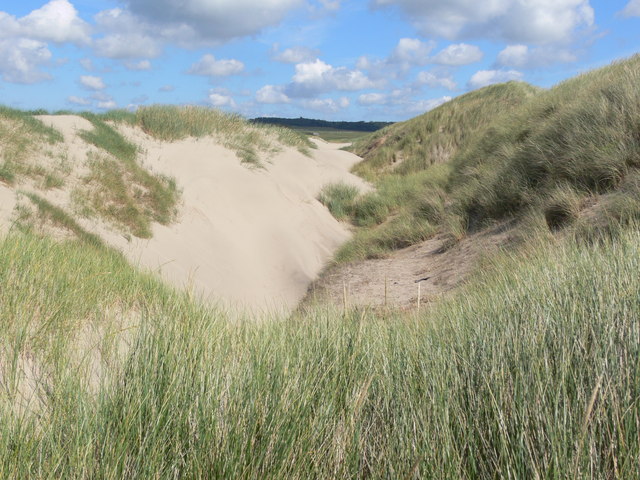
In addition to its natural beauty and historical significance, Bae Caernarfon offers a range of recreational activities, including sailing, fishing, and kayaking. The bay is also a popular spot for beachgoers, with several sandy beaches dotted along its coastline, providing opportunities for swimming and sunbathing.

If you have any feedback on the listing, please let us know in the comments section below.

Bae Caernarfon Images

Images are sourced within 2km of 53.156211/-4.4433151 or Grid Reference SH3664. Thanks to Geograph Open Source API. All images are credited.

Porth Melin Ifan Owen
Malltraeth Bay at sunset
Path back to Newborough Forest Crossing the dunes at Traeth Penrhos.
Path back to Newborough Forest
Crossing the dunes at Traeth Penrhos.
Sand dunes at Traeth Penrhos
Gap in the dunes Looking towards Traeth Penrhos and Malltraeth Bay.
Gap in the dunes
Looking towards Traeth Penrhos and Malltraeth Bay.
Wind sculptured sand dune
View south along Traeth Penrhos In the distance is Llanddwyn Island, with the mountains of the Lleyn Peninsula beyond.
View south along Traeth Penrhos
In the distance is Llanddwyn Island, with the mountains of the Lleyn Peninsula beyond.
View north along Traeth Penrhos
Shipwreck on Traeth Penrhos In the distance is Llanddwyn Island, with the mountains of the Lleyn Peninsula beyond.
Shipwreck on Traeth Penrhos
In the distance is Llanddwyn Island, with the mountains of the Lleyn Peninsula beyond.
Shipwreck on Traeth Penrhos
View north along Traeth Penrhos The house is across the Afon Cefni and the Malltraeth Sands at Bodowen.
View north along Traeth Penrhos
The house is across the Afon Cefni and the Malltraeth Sands at Bodowen.
Pen-y-parc headland from Traeth Penrhos
The wreck of the Athena The Athena was a Greek ship wrecked in 1852 on Traeth Penrhos.
The wreck of the Athena
The Athena was a Greek ship wrecked in 1852 on Traeth Penrhos.
Traeth Penrhos Looking towards the estuary and Malltraeth Sands.
Traeth Penrhos
Looking towards the estuary and Malltraeth Sands.
Mid-tide on Traeth Penrhos
Traeth Penrhos
Traeth Penrhos
View to Llanddwyn Island (Ynys Llanddwyn) A low tide has allowed access to this remote square with distant views to the dark line of Llanddwyn Island (Ynys Llanddwyn), and beyond, The Rivals (Yr Eifl) on the Llŷn Peninsula (Pen Llŷn). Position checked with GPS.
View to Llanddwyn Island (Ynys Llanddwyn)
A low tide has allowed access to this remote square with distant views to the dark line of Llanddwyn Island (Ynys Llanddwyn), and beyond, The Rivals (Yr Eifl) on the Llŷn Peninsula (Pen Llŷn). Position checked with GPS.
Show me another place!

Bae Caernarfon is located at Grid Ref: SH3664 (Lat: 53.156211, Lng: -4.4433151)

Unitary Authority: Isle of Anglesey

Police Authority: North Wales

Also known as: Caernarfon Bay

What 3 Words

///triangle.warthog.meatballs. Near Rhosneigr, Isle of Anglesey

Related Wikis

Ynys Llanddwyn

Ynys Llanddwyn (also known as Llanddwyn Island) is a small tidal island off the west coast of Anglesey (Welsh: Ynys Môn), northwest Wales. The nearest...

Afon Ffraw

The Afon Ffraw is a short river on the Isle of Anglesey, Wales. It arises at Llyn Coron and flows southwest for two miles along the northwestern margin...

Bodorgan

Bodorgan is a village and community on the Isle of Anglesey, Wales, United Kingdom. According to the 2001 Census, there were 1,503 residents in the now...

RAF Bodorgan

Royal Air Force Bodorgan, or more simply RAF Bodorgan, is a former Royal Air Force satellite airfield located near to Bodorgan Hall on the Isle of Anglesey...

Nearby Amenities

Located within 500m of 53.156211,-4.4433151
Created By: almien_coastlines
Source: PGS
Lat/Long: 53.1562023/-4.4433761
Source: PGS
Lat/Long: 53.1553875/-4.4428996
Source: PGS
Lat/Long: 53.1552257/-4.4428189
Source: PGS
Lat/Long: 53.1558608/-4.4419033
Source: PGS
Lat/Long: 53.1561912/-4.4410659
Source: PGS
Lat/Long: 53.1563917/-4.4407122
Source: PGS
Lat/Long: 53.1566537/-4.440389
Created By: almien_coastlines
Source: PGS
Lat/Long: 53.1569242/-4.439537
Source: PGS
Lat/Long: 53.1572157/-4.4395948
Source: PGS
Lat/Long: 53.157495/-4.4391451
Source: PGS
Lat/Long: 53.1576992/-4.4385767
Source: PGS
Lat/Long: 53.1580253/-4.4379551
Source: PGS
Lat/Long: 53.1581695/-4.4368538
Source: PGS
Lat/Long: 53.1603611/-4.444515
Source: PGS
Lat/Long: 53.1606326/-4.4441839
Source: PGS
Lat/Long: 53.1605597/-4.443677
Source: PGS
Lat/Long: 53.1604057/-4.4425009
Source: PGS
Lat/Long: 53.1596519/-4.4426564
Source: Landsat photo
Lat/Long: 53.1596965/-4.441771
Source: Landsat photo
Lat/Long: 53.1598545/-4.4413722
Source: Landsat photo
Lat/Long: 53.1598221/-4.4410073
Source: Landsat photo
Lat/Long: 53.1595668/-4.4407842
Source: Landsat photo
Lat/Long: 53.159117/-4.4414871
Source: Landsat photo
Lat/Long: 53.1585983/-4.4420211
The data included in this document is from www.openstreetmap.org. The data is made available under ODbL.

Have you been to Bae Caernarfon?

Leave your review of Bae Caernarfon below (or comments, questions and feedback).