Porth Llechog
Bay in Anglesey
Wales
Porth Llechog
The requested URL returned error: 429 Too Many Requests
If you have any feedback on the listing, please let us know in the comments section below.
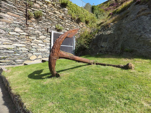
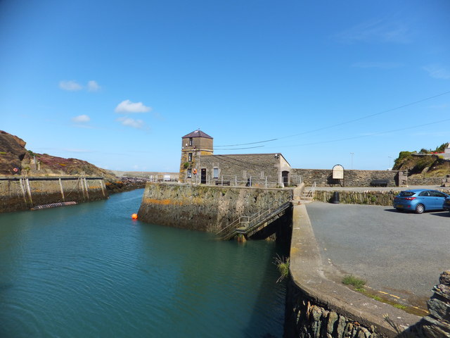
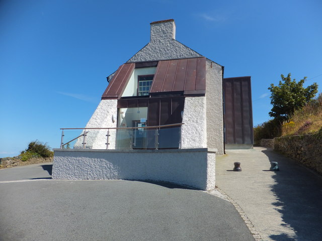
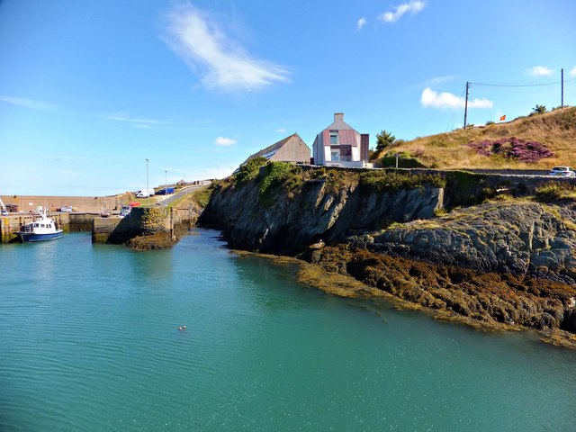
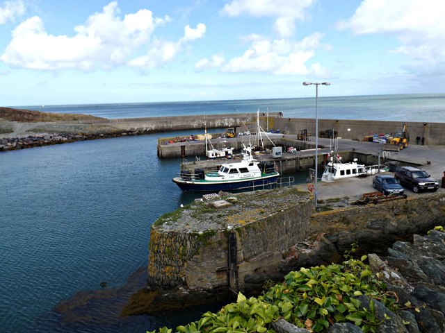
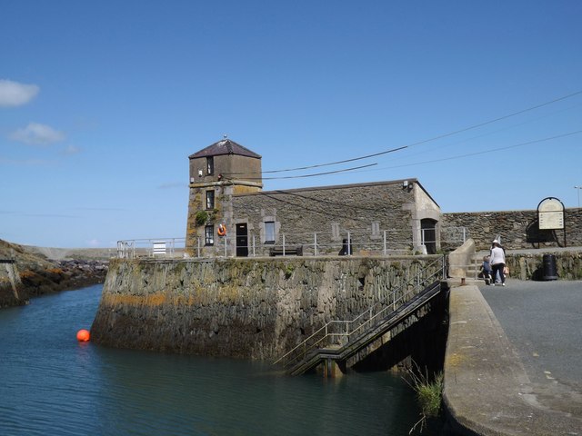
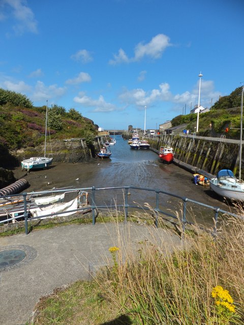
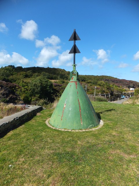
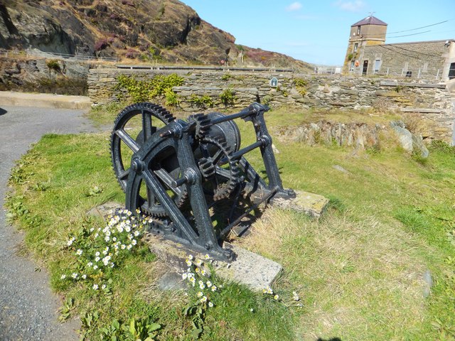
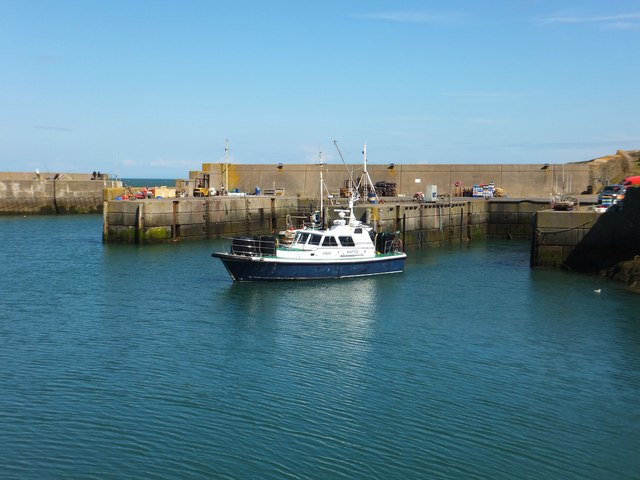
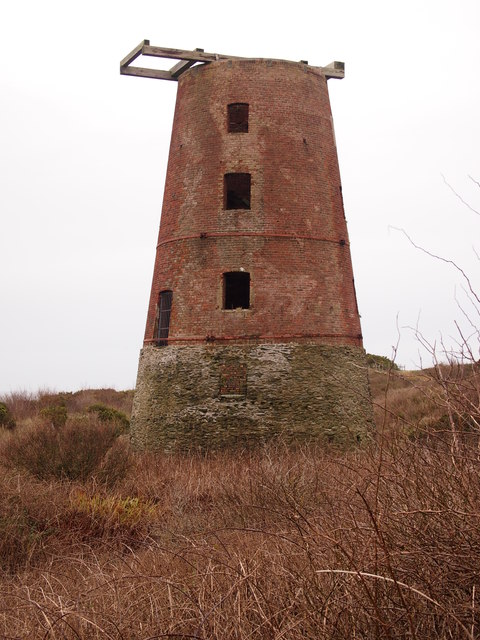
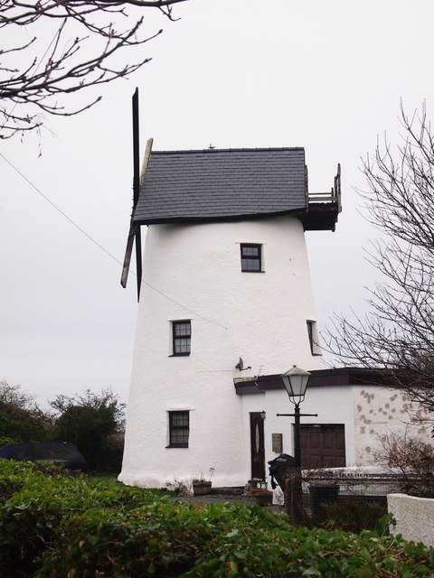
Porth Llechog Images
Images are sourced within 2km of 53.420016/-4.3530075 or Grid Reference SH4394. Thanks to Geograph Open Source API. All images are credited.
Porth Llechog is located at Grid Ref: SH4394 (Lat: 53.420016, Lng: -4.3530075)
Unitary Authority: Isle of Anglesey
Police Authority: North Wales
Also known as: Bull Bay
What 3 Words
///depravity.tube.siblings. Near Amlwch, Isle of Anglesey
Nearby Locations
Related Wikis

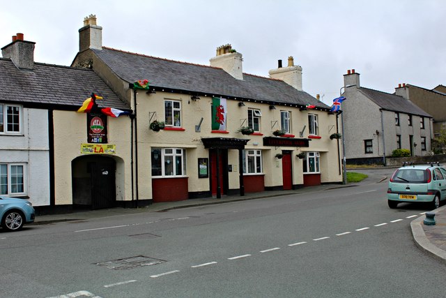
Bull Bay, Anglesey
Bull Bay (Welsh: Porth Llechog) is a village and bay on the northern coast of Anglesey, Wales, close to Amlwch. Its Welsh name, Porth Llechog, means "sheltered...
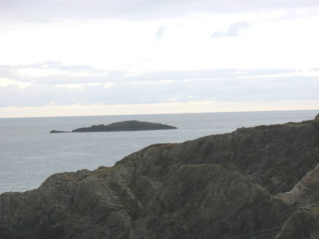
East Mouse
East Mouse (Welsh: Ynys Amlwch) is an islet found off the north coast of Anglesey, Wales. It is found just a few hundred metres away from the town of Amlwch...
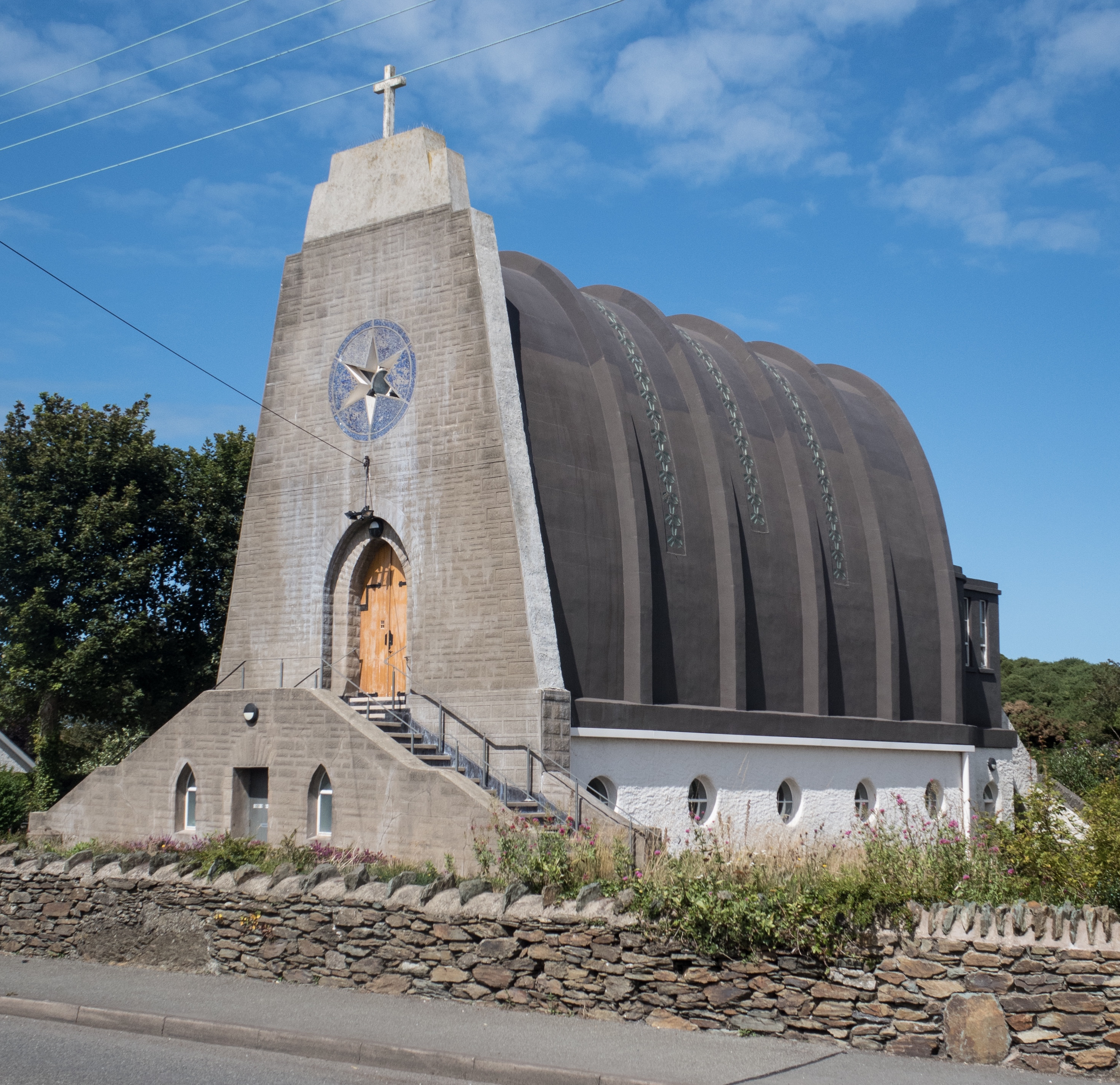
Our Lady Star of the Sea and St Winefride, Amlwch
Our Lady Star of the Sea and St Winefride (Welsh: Mair, Seren Y Mor a Santes Wenfrewi) is a Roman Catholic church in Amlwch, a town on the island of Anglesey...

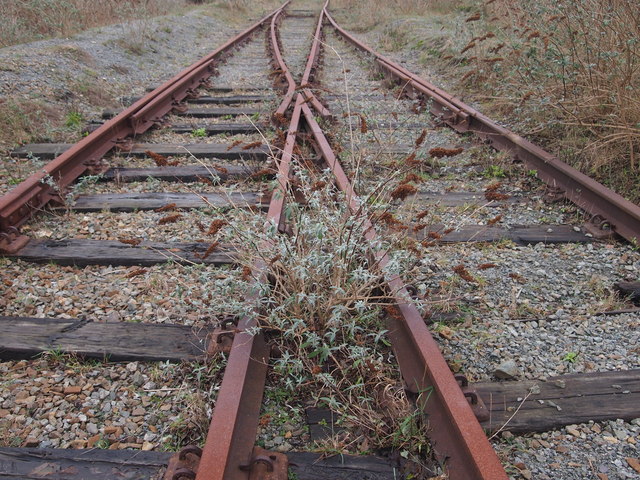
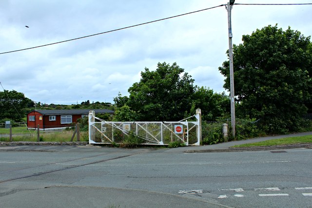
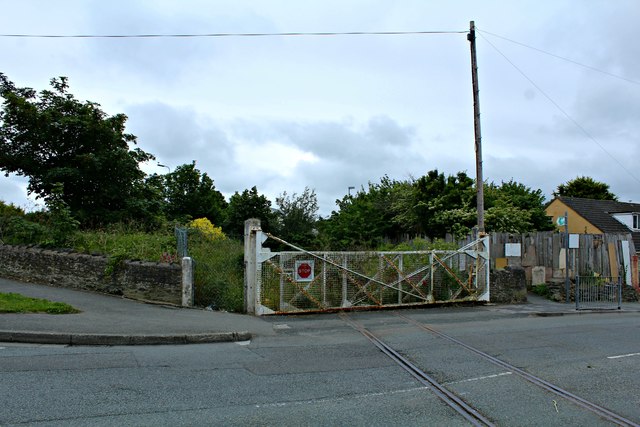
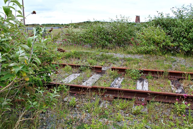
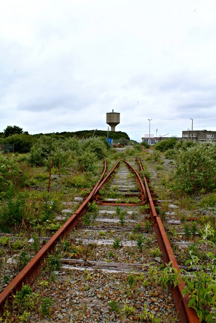
Anglesey Central Railway
The Anglesey Central Railway (Welsh: Lein Amlwch, Amlwch Line) was a 17.5-mile (28.2 km) standard-gauge railway in Anglesey, Wales, connecting the port...
Have you been to Porth Llechog?
Leave your review of Porth Llechog below (or comments, questions and feedback).