Marlow Bay
Bay in Huntingdonshire Huntingdonshire
England
Marlow Bay
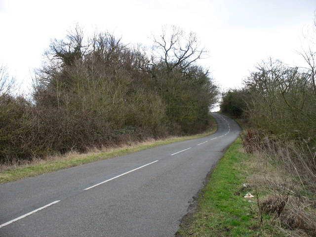
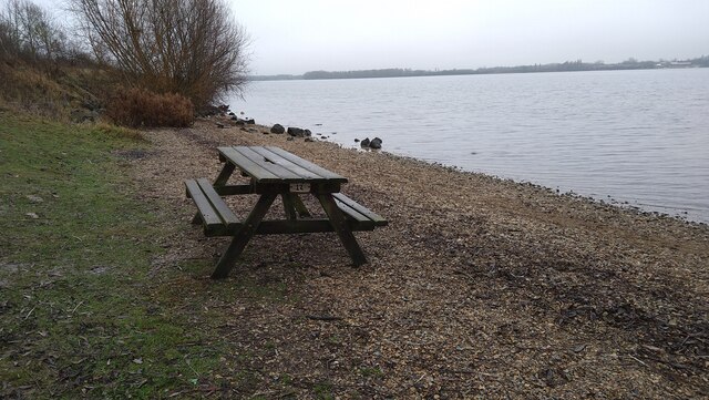
Marlow Bay is a picturesque village located in Huntingdonshire, England. Situated along the banks of the River Great Ouse, the bay is known for its stunning natural beauty and tranquil atmosphere. The village is surrounded by lush green fields and rolling hills, making it an ideal destination for those looking to escape the hustle and bustle of city life.
Marlow Bay is home to a charming community of residents who take pride in their village and its surroundings. The bay is dotted with quaint cottages, historic buildings, and well-maintained gardens, giving it a timeless and idyllic feel. The village also features a number of local shops, cafes, and restaurants, catering to both residents and visitors alike.
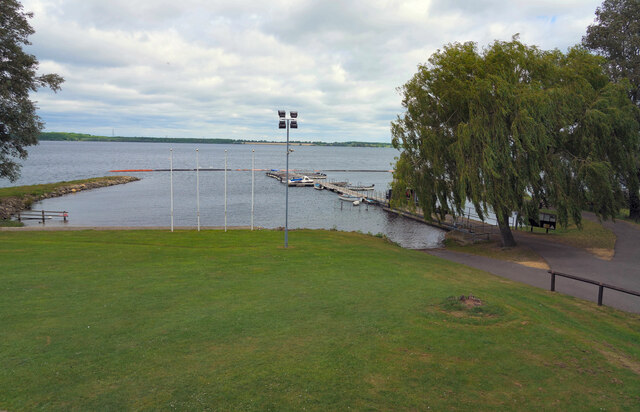
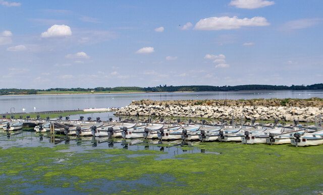
One of the main attractions in Marlow Bay is its marina, which offers opportunities for boating, fishing, and other water-based activities. The bay is a popular spot for birdwatching, with a variety of species to be spotted along the riverbank.
Overall, Marlow Bay is a hidden gem in Huntingdonshire, offering a peaceful retreat for those seeking a taste of rural England.
If you have any feedback on the listing, please let us know in the comments section below.
Marlow Bay Images
Images are sourced within 2km of 52.299578/-0.29729231 or Grid Reference TL1668. Thanks to Geograph Open Source API. All images are credited.


Marlow Bay is located at Grid Ref: TL1668 (Lat: 52.299578, Lng: -0.29729231)
Administrative County: Cambridgeshire
District: Huntingdonshire
Police Authority: Cambridgeshire
What 3 Words
///barrel.interlude.exacted. Near Buckden, Cambridgeshire
Nearby Locations
Related Wikis
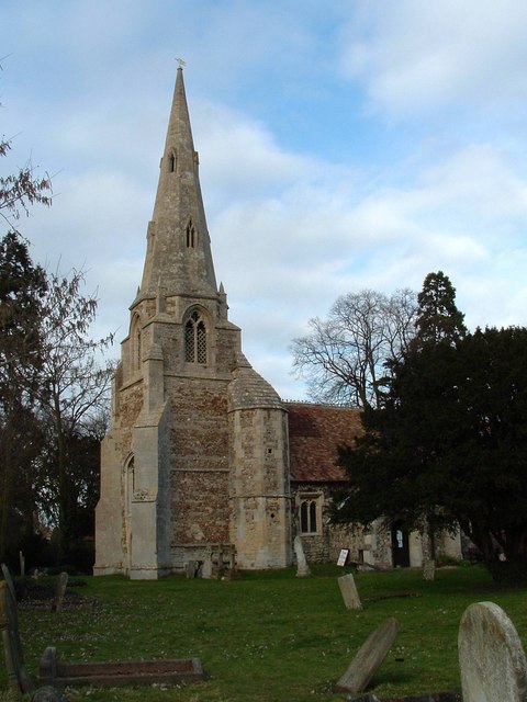
Grafham, Cambridgeshire
Grafham is a village and civil parish in Cambridgeshire, England. Grafham lies approximately 5 miles (8 km) south-west of Huntingdon. Grafham is situated...
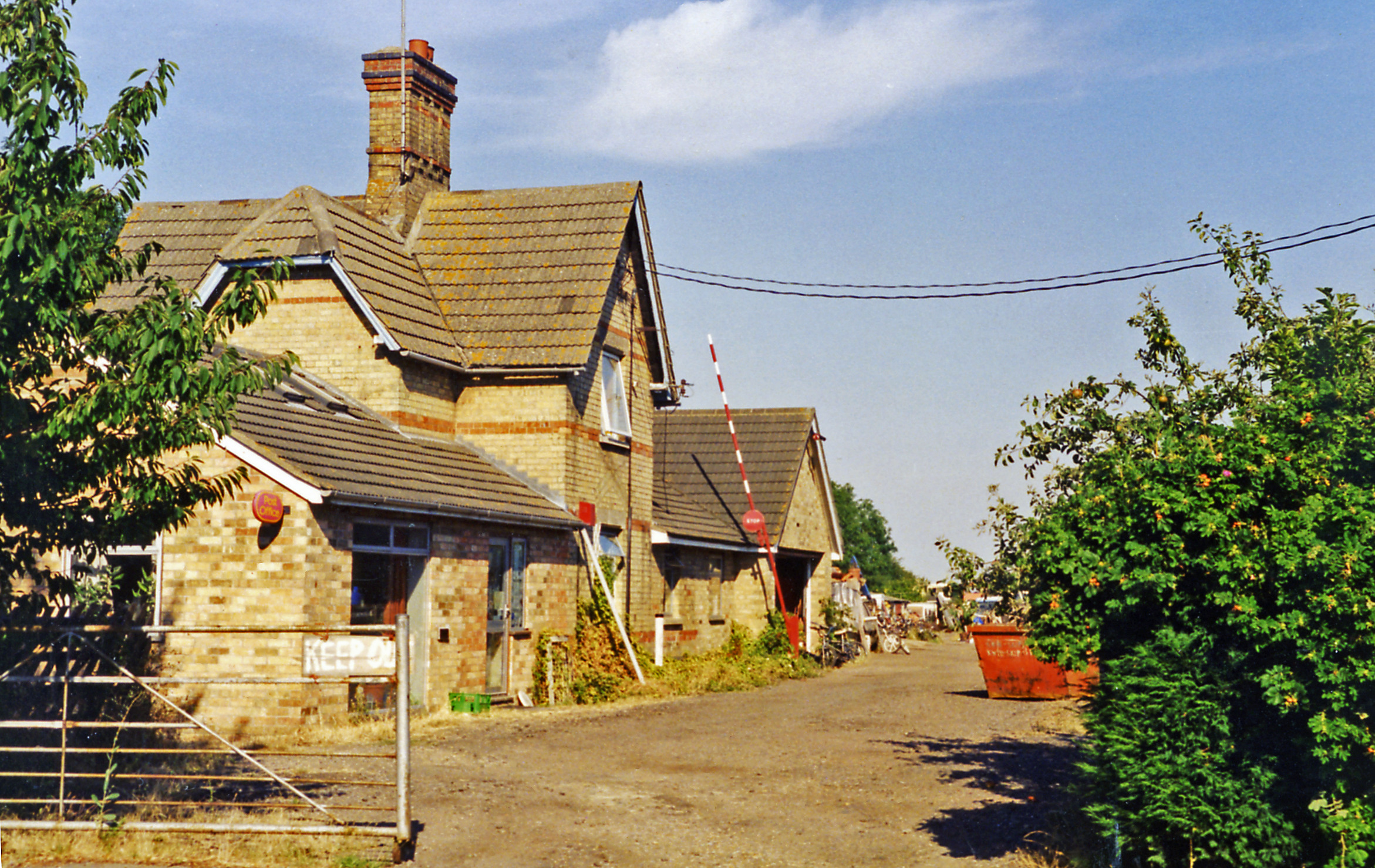
Grafham railway station
Grafham railway station was a railway station in Grafham, Cambridgeshire. The station and its line closed in 1959.In the 1990s the railway station buildings...

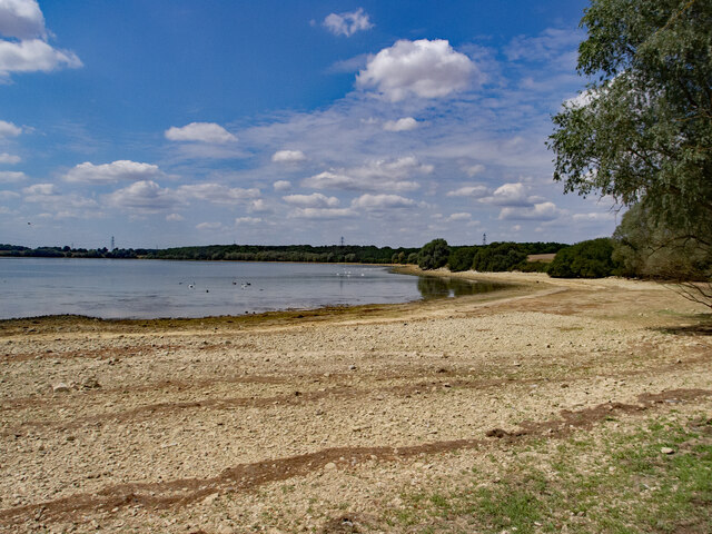
Grafham Water
Grafham Water is an 806.3-hectare (1,992-acre) biological Site of Special Scientific Interest (SSSI) north of Perry, Huntingdonshire. It was designated...

HM Prison Littlehey
HM Prison Littlehey is a Category C male prison in the village of Perry near Huntingdon in Cambridgeshire, England. Littlehey Prison is operated by His...
Nearby Amenities
Located within 500m of 52.299578,-0.29729231Have you been to Marlow Bay?
Leave your review of Marlow Bay below (or comments, questions and feedback).