Dragonfly Pond

Bay in Huntingdonshire Huntingdonshire

England

Dragonfly Pond

Grafham Water A view across Grafham Water from a position to the right of the cafe. Next to the jetty are a series of rowing and powered boats for the use of fishermen.
Grafham Water Credit: Malcolm Neal

The requested URL returned error: 429 Too Many Requests

If you have any feedback on the listing, please let us know in the comments section below.

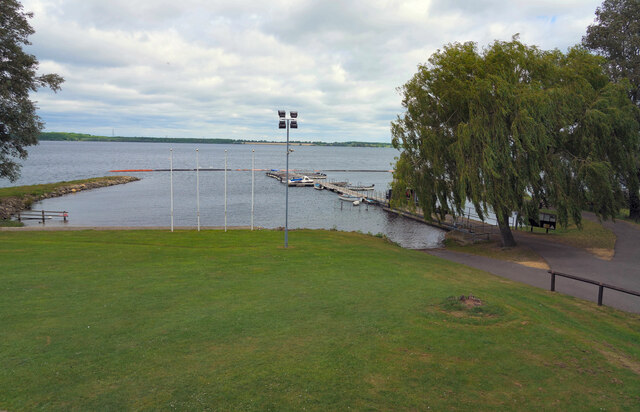
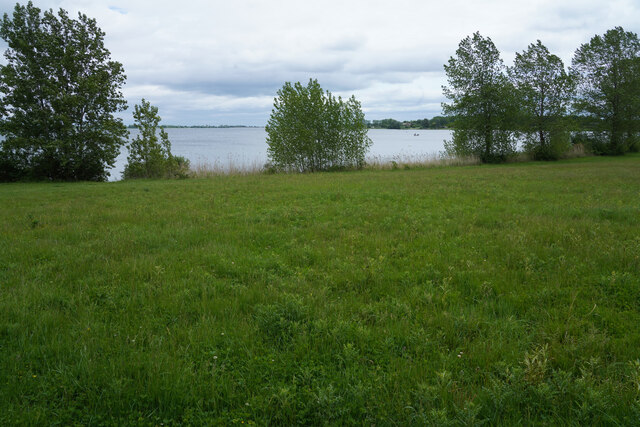
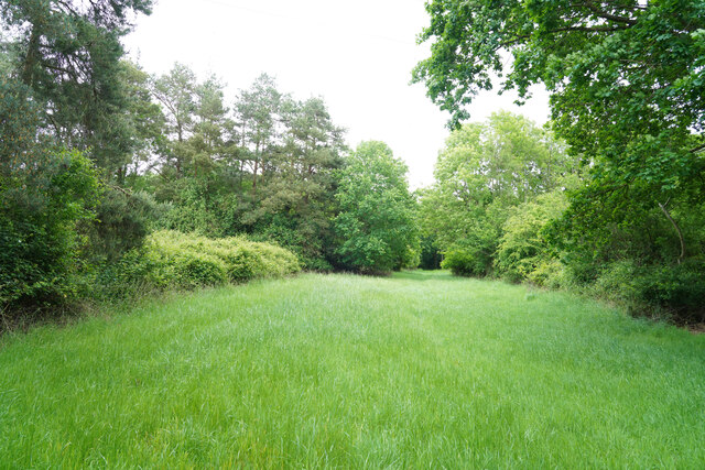
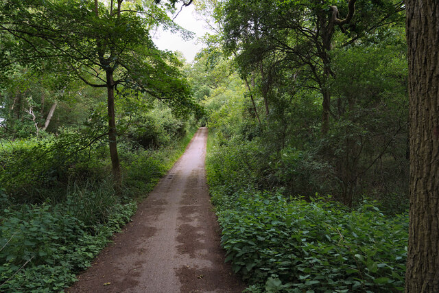
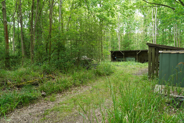
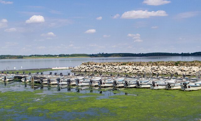
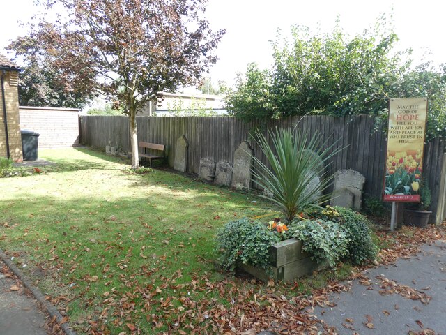
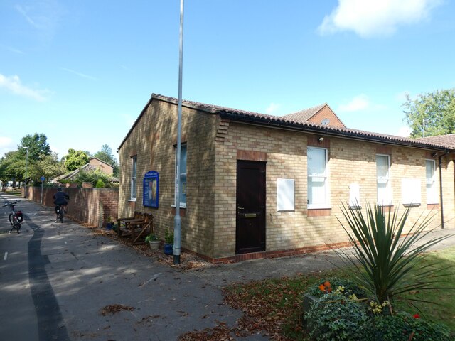
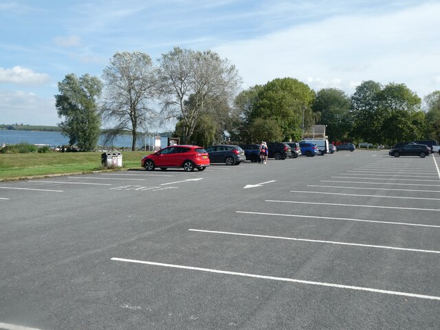
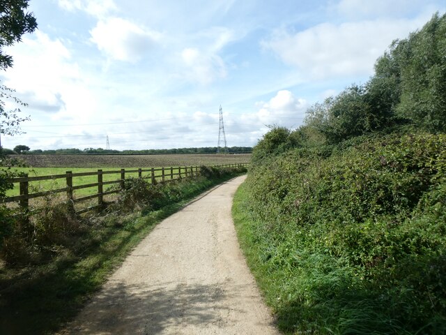
Dragonfly Pond Images

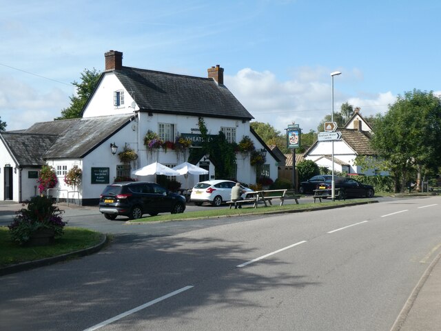
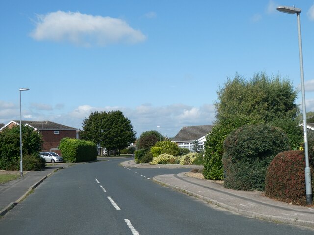
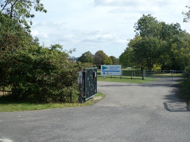
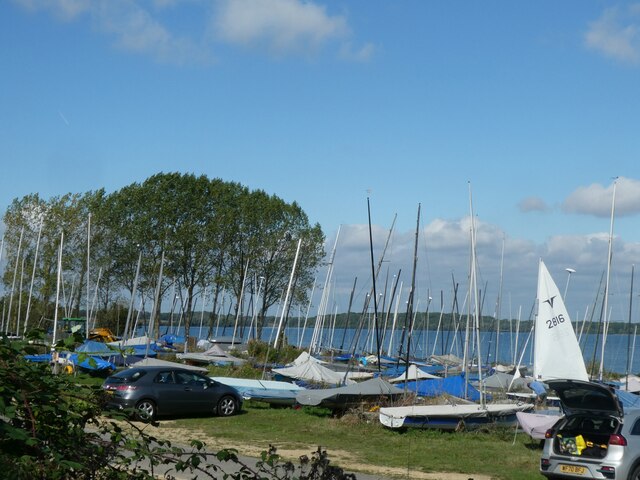
Images are sourced within 2km of 52.296222/-0.33946461 or Grid Reference TL1367. Thanks to Geograph Open Source API. All images are credited.

Grafham Water A view across Grafham Water from a position to the right of the cafe. Next to the jetty are a series of rowing and powered boats for the use of fishermen.
Grafham Water
A view across Grafham Water from a position to the right of the cafe. Next to the jetty are a series of rowing and powered boats for the use of fishermen.
A woodland path One of the varied paths and or cycle tracks that are to be found around Grafham Water.
A woodland path
One of the varied paths and or cycle tracks that are to be found around Grafham Water.
Grafham Water Looking back across an area of grass towards the visitor centre and car park, which cannot be seen as they are hidden by the sparse trees and bushes.
Grafham Water
Looking back across an area of grass towards the visitor centre and car park, which cannot be seen as they are hidden by the sparse trees and bushes.
A woodland ride This may be a fire break or a woodland ride, but either way it does eventually lead to one of the many bird hides at this end of the reservoir.
A woodland ride
This may be a fire break or a woodland ride, but either way it does eventually lead to one of the many bird hides at this end of the reservoir.
Reeds in front of the hide The reed bed had a number of Dragon flies flitting back and forth but there were very few birds to be seen.
Reeds in front of the hide
The reed bed had a number of Dragon flies flitting back and forth but there were very few birds to be seen.
The cycle track aounf Grafham Water There were very few cyclists riding along the path / track which made for easier walking.
The cycle track aounf Grafham Water
There were very few cyclists riding along the path / track which made for easier walking.
Charcoal burners' huts We were surprised when we came across these huts which had two or three charcoal burning steel drums and lids. None of them was active as we walked by.
Charcoal burners' huts
We were surprised when we came across these huts which had two or three charcoal burning steel drums and lids. None of them was active as we walked by.
East Perry : Perry Baptist Church
Grafham Water : fishing boats for hire
The church garden and old gravestones, Perry Baptist Church The church <a href="https://www.geograph.org.uk/photo/7241580">TL1466 : East Perry : Perry Baptist Church</a> dates from 1990, replacing the unsafe building dated 1841; the gravestones had to be moved when the present building was built
The church garden and old gravestones, Perry Baptist Church
The church TL1466 : East Perry : Perry Baptist Church dates from 1990, replacing the unsafe building dated 1841; the gravestones had to be moved when the present building was built
Perry Baptist Church
The Wheatsheaf, Perry
Glebe Road, Perry A small housing estate
Glebe Road, Perry
A small housing estate
Entrance to Grafham Water Sailing Club
Sailing boats, Grafham Water Sailing Club
Seats with a view of Grafham Water, Perry
Car park by Grafham Water, Perry
Cycle route by woodland on bank of Grafham Water
Show me another place!

Dragonfly Pond is located at Grid Ref: TL1367 (Lat: 52.296222, Lng: -0.33946461)

Administrative County: Cambridgeshire

District: Huntingdonshire

Police Authority: Cambridgeshire

What 3 Words

///cookies.nerve.tastier. Near Kimbolton, Cambridgeshire

Nearby Locations

Dragonfly Pond

Related Wikis

Perry Woods

Perry Woods is a 67.9-hectare (168-acre) biological Site of Special Scientific Interest south-east of Kimbolton in Cambridgeshire. It is composed of three...

Grafham Water

Grafham Water is an 806.3-hectare (1,992-acre) biological Site of Special Scientific Interest (SSSI) north of Perry, Huntingdonshire. It was designated...

Stonely Priory

Stonely Priory was an Augustinian priory in Cambridgeshire, England. It was dissolved in 1536. == History == A tradition recorded by Leland hold that the...

Gaynes Hall

Gaynes Hall is a Grade II* listed Georgian mansion set in 20 acres (81,000 m2) of parkland in the heart of the Cambridgeshire countryside. Located in the...

Related Videos

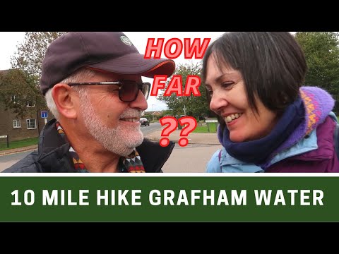
TEN MILE HIKE around GRAFHAM WATER in Cambridgeshire | How Bloomin’ Far?? | Ep308

Whilst staying at the Grafham Water Caravan and Motorhome Club Site we decided to hike clockwise around Grafham Water ...

Ways to Enjoy a Country Walk in Grafham Lake

A Harbour View Cafe with beautiful places to have a walk with your dogs or friends and end your day at the cafe with a view after ...

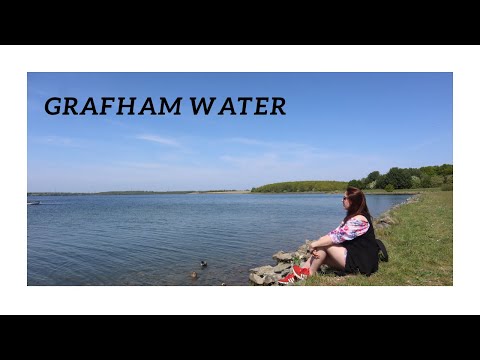
Grafham Water in the sunshine.

Not far from where we live in Huntingdon is the third biggest reservoir in England which is Grafham Water. Owned by Anglian ...

Family picnic|3quick easy picnic recipes | lake side walk|summer holiday||nityajeevana kannada vlogs

Hi Friends…. I am Asha hedge, do vlogs from United Kingdom Family picnics are the best ways to spend quality time ...

Nearby Amenities

Located within 500m of 52.296222,-0.33946461
Design: barrel
Line Attachment: suspension
Material: steel
Power: tower
Structure: lattice
Lat/Long: 52.2933703/-0.3405723
Design: barrel
Line Attachment: suspension
Material: steel
Power: tower
Structure: lattice
Lat/Long: 52.2964395/-0.3444768
Power: tower
Source: bing
Lat/Long: 52.2921409/-0.3398923
Power: tower
Source: bing
Lat/Long: 52.2942445/-0.3426096
Power: tower
Source: bing
Lat/Long: 52.2967372/-0.3457552
Information: board
Tourism: information
Lat/Long: 52.2969216/-0.3434209
Information: board
Tourism: information
Lat/Long: 52.2949432/-0.3422997
Dudney Creek
Natural: bay
Lat/Long: 52.2966392/-0.3374042
Littless Creek
Natural: bay
Lat/Long: 52.2987389/-0.3379621
The data included in this document is from www.openstreetmap.org. The data is made available under ODbL.

Have you been to Dragonfly Pond?

Leave your review of Dragonfly Pond below (or comments, questions and feedback).