Blogerth

Bay in Shetland

Scotland

Blogerth

Lighthouse on Bound Skerry, Out Skerries
Lighthouse on Bound Skerry, Out Skerries Credit: Mike Pennington

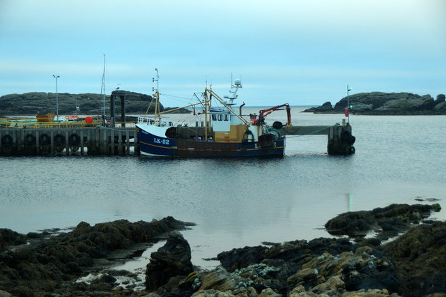
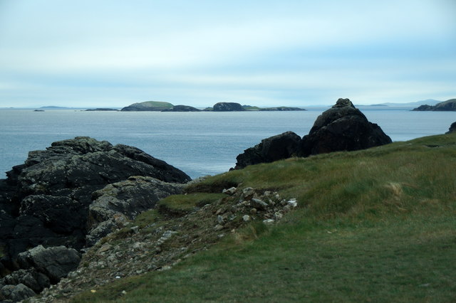
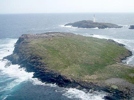
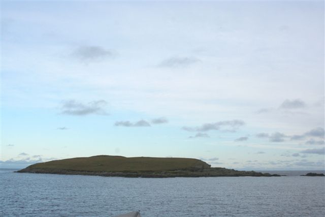
Blogerth, Shetland (Bay) is a picturesque bay located in the Shetland Islands, an archipelago in Scotland. It is situated on the east coast of the mainland, approximately 10 miles northeast of Lerwick, the largest settlement in the Shetland Islands.

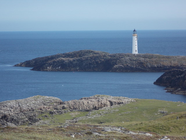
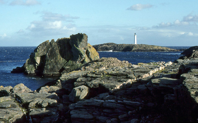
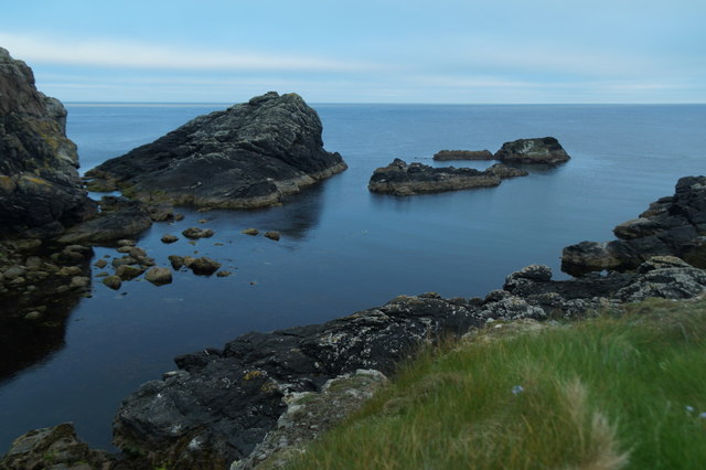
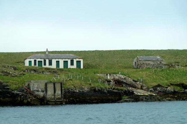
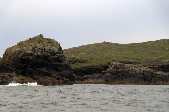
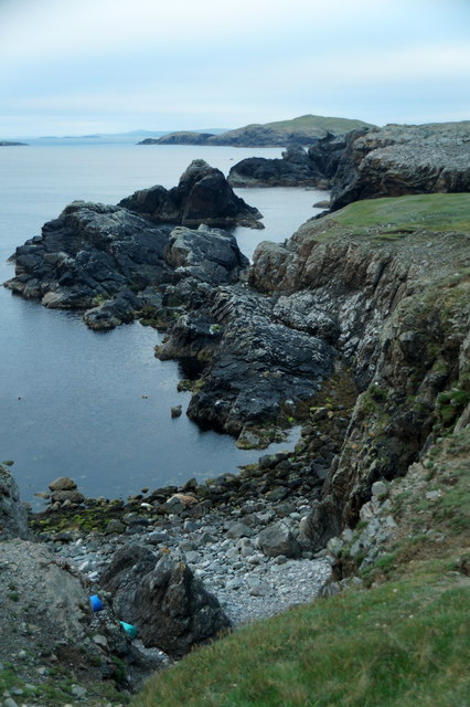
This bay is known for its natural beauty and tranquil atmosphere. The crystal-clear waters of the North Sea gently lap against the shore, creating a soothing sound that adds to the serenity of the place. The bay is surrounded by rugged cliffs and rolling green hills, providing a stunning backdrop to the idyllic scene.

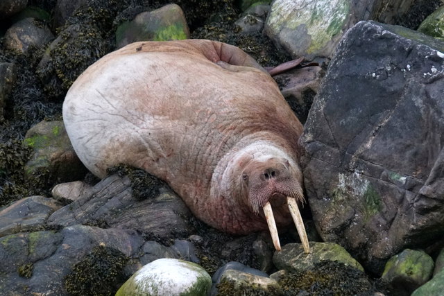
Blogerth Bay is a haven for wildlife enthusiasts and nature lovers. The area is home to a diverse range of bird species, including puffins, guillemots, and razorbills. Visitors can spot these beautiful creatures nesting on the cliffs or diving into the water to catch fish. Seals are also a common sight in the bay, often basking on the rocks or playfully swimming in the shallows.

The bay offers various recreational activities for visitors to enjoy. The calm waters are perfect for swimming, kayaking, and paddleboarding. Fishing enthusiasts can try their luck at catching mackerel or cod, while hikers can explore the surrounding trails and take in the breathtaking coastal views.

Blogerth Bay is a hidden gem of the Shetland Islands, offering a peaceful retreat for those seeking solace in nature's embrace. Whether you are a wildlife enthusiast, outdoor adventurer, or simply looking for a place to relax and unwind, this bay is a must-visit destination that showcases the stunning beauty of the Scottish coastline.

If you have any feedback on the listing, please let us know in the comments section below.

Blogerth Images

Images are sourced within 2km of 60.426068/-0.75746978 or Grid Reference HU6872. Thanks to Geograph Open Source API. All images are credited.

Lighthouse on Bound Skerry, Out Skerries
Bound Skerry Light and lighthouse cottages on Grunay, Out Skerries
Lighthouse on Bound Skerry The lighthouse is the first sign of human habitation on the Out Skerries, approaching on the ferry from Vidlin
Lighthouse on Bound Skerry
The lighthouse is the first sign of human habitation on the Out Skerries, approaching on the ferry from Vidlin
Bound Skerry Lighthouse The characteristic Out Skerries lighthouse can be seen from almost anywhere on the islands. It is located on a small rocky island named Bound Skerry, the most easterly island of the Skerries.
Bound Skerry Lighthouse
The characteristic Out Skerries lighthouse can be seen from almost anywhere on the islands. It is located on a small rocky island named Bound Skerry, the most easterly island of the Skerries.
Bound Skerry Lighthouse
Out Skerries: Bound Skerry from the ferry The lighthouse stands at the easternmost extremity of Scotland.
Out Skerries: Bound Skerry from the ferry
The lighthouse stands at the easternmost extremity of Scotland.
Out Skerries: Bound Skerry from Bruray Ward Looking down from the top of Bruray Ward towards the lighthouse on the easternmost piece of Scotland, Bound Skerry.
Out Skerries: Bound Skerry from Bruray Ward
Looking down from the top of Bruray Ward towards the lighthouse on the easternmost piece of Scotland, Bound Skerry.
Out Skerries: Bound Skerry lighthouse The lighthouse stands on Bound Skerry, the easternmost piece of land in Scotland.
Out Skerries: Bound Skerry lighthouse
The lighthouse stands on Bound Skerry, the easternmost piece of land in Scotland.
Bound Skerry Lighthouse from the Out Skerries Ferry Three minutes after leaving the pier at Bruray you have a good view of the lighthouse.  The light is now automated.
Bound Skerry Lighthouse from the Out Skerries Ferry
Three minutes after leaving the pier at Bruray you have a good view of the lighthouse. The light is now automated.
Lamba Stack and Bound Skerry Fine rock scenery with the sea-girt Lamba Stack in the foreground and the lighthouse on Bound Skerry, the most easterly point of Scotland,in the distance.
Lamba Stack and Bound Skerry
Fine rock scenery with the sea-girt Lamba Stack in the foreground and the lighthouse on Bound Skerry, the most easterly point of Scotland,in the distance.
Holm Geo, Out Skerries
Walrus (Odobenus rosmarus), Holm Geo, Out Skerries This individual has been touring northern Scotland for several weeks, and has finally paid Shetland a visit.
Walrus (Odobenus rosmarus), Holm Geo, Out Skerries
This individual has been touring northern Scotland for several weeks, and has finally paid Shetland a visit.
LK52 Renown at Out Skerries pier
Buildings on Grunay, Out Skerries
Lamba Stack and Bruray Ward, Out Skerries
Holm Geo, Out Skerries Looking towards the skerries known as the Benelips.
Holm Geo, Out Skerries
Looking towards the skerries known as the Benelips.
Holm Geo, Out Skerries
The view to the Benelips from Holm Geo, Out Skerries
Show me another place!

Blogerth is located at Grid Ref: HU6872 (Lat: 60.426068, Lng: -0.75746978)

Unitary Authority: Shetland Islands

Police Authority: Highlands and Islands

What 3 Words

///walkway.blessing.losing. Near Symbister, Shetland Islands

Related Wikis

Bruray

Bruray is one of the three Out Skerries islands of Shetland, and contains Scotland's most easterly settlement. It is separated from Housay by North Mouth...

Housay

Housay (Scots: Housay), also known as West Isle, is one of the three islands that form the Out Skerries island group, the most easterly part of the Shetland...

Grunay

Grunay is an uninhabited island in the Out Skerries group, the most easterly part of Shetland, Scotland. Its area is 55.58 acres, or 22.49 hectares. The...

Out Skerries

The Out Skerries are an archipelago of islets, some inhabited, in Shetland, Scotland, and are the easternmost part of Shetland. Locally, they are usually...

Bound Skerry

Bound Skerry is part of the Out Skerries group in the Shetland Islands. As well as being the most easterly island of that group, it is also the easternmost...

Outer Holm of Skaw

The Outer Holm of Skaw is a small, uninhabited islet, a rock outlier off the northeast coast of the island of Whalsay, in the Shetland Islands of Scotland...

Inner Holm of Skaw

The Inner Holm of Skaw is a small, uninhabited islet off the northern tip of the island of Whalsay, in the Shetland Islands of Scotland, north of the village...

Nista

Nista is a small islet of the Shetland Islands of Scotland, situated roughly 2 kilometres (1.2 mi) east off the coast of Whalsay. It lies to the north...

Nearby Amenities

Located within 500m of 60.426068,-0.75746978
Post Office
Skerries Post Office
Addr City: Shetland
Addr Postcode: ZE2 9AS
Opening Hours: Mo,Tu,Th 09:30-12:30
Ref Pol Id: 90167
Source: OS OpenData StreetView
Lat/Long: 60.4222072/-0.758341
Barrier: cattle_grid
Lat/Long: 60.4235035/-0.7590188
Barrier: cattle_grid
Lat/Long: 60.4233681/-0.7635796
Fire Station
Lat/Long: 60.4248359/-0.7516962
Bruray
Is In: Scotland;GB
Place: hamlet
Lat/Long: 60.4240586/-0.7552029
Ferry Terminal
Bruray Pier, Out Skerries
Ferry: yes
Operator: Shetland Islands Council
Public Transport: station
Lat/Long: 60.4227175/-0.7517574
Leisure: marina
Lat/Long: 60.4236944/-0.7615585
Post Box
Operator: Royal Mail
Ref: ZE2 125
Lat/Long: 60.4222603/-0.7583732
Height: 10
Man Made: mast
Tower Type: communication
Lat/Long: 60.4242114/-0.7497867
Shop: general
Lat/Long: 60.4222158/-0.758399
Power: pole
Lat/Long: 60.424958/-0.7642852
Power: pole
Lat/Long: 60.4245602/-0.7654425
Power: pole
Lat/Long: 60.4217207/-0.757841
Power: pole
Lat/Long: 60.4219258/-0.7581756
Power: pole
Lat/Long: 60.422263/-0.7587891
Power: pole
Lat/Long: 60.4225301/-0.7595225
Power: pole
Lat/Long: 60.4227806/-0.7602224
Power: pole
Lat/Long: 60.4230338/-0.7609223
Power: pole
Lat/Long: 60.4228563/-0.7615915
Power: pole
Lat/Long: 60.4226443/-0.7624002
Power: pole
Lat/Long: 60.4217854/-0.7590958
Power: pole
Lat/Long: 60.4230008/-0.763814
Power: pole
Lat/Long: 60.422859/-0.7633176
Power: pole
Lat/Long: 60.4236931/-0.7506243
Power: pole
Lat/Long: 60.4242024/-0.751656
Power: pole
Lat/Long: 60.4245657/-0.7523671
Power: pole
Lat/Long: 60.424095/-0.7545951
Power: pole
Lat/Long: 60.4240455/-0.7555209
Power: pole
Lat/Long: 60.4237757/-0.7563408
Power: pole
Lat/Long: 60.423828/-0.757346
Power: pole
Lat/Long: 60.4235699/-0.7589257
Power: pole
Lat/Long: 60.4230318/-0.7595294
Power: pole
Lat/Long: 60.4235672/-0.7556143
The data included in this document is from www.openstreetmap.org. The data is made available under ODbL.

Have you been to Blogerth?

Leave your review of Blogerth below (or comments, questions and feedback).