Achanelid

Settlement in Argyllshire

Scotland

Achanelid

Forestry road, Ardachearanbeg Forest
Forestry road, Ardachearanbeg Forest Credit: Steven Brown

Achanelid is a small village located in the county of Argyllshire, Scotland. Situated on the western coast of the country, the village offers breathtaking views of the surrounding natural beauty. It is nestled between rolling hills and overlooks the crystal-clear waters of Loch Fyne.

The village itself is home to a close-knit community of approximately 200 residents. Achanelid is known for its peaceful and tranquil atmosphere, making it an ideal destination for those seeking a retreat from the hustle and bustle of city life. The locals are friendly and welcoming, always happy to share their knowledge of the area with visitors.

Nature enthusiasts will find plenty to explore in Achanelid. The village is surrounded by lush greenery and offers numerous walking trails that wind through picturesque landscapes. Loch Fyne is a haven for wildlife, with a variety of bird species and marine life inhabiting its waters. Fishing is a popular activity among locals and visitors alike, with the loch being known for its abundance of salmon and trout.

Achanelid is also within close proximity to several notable attractions. The historic town of Inveraray is just a short drive away, famous for its stunning castle and charming shops. Additionally, the nearby Loch Lomond and The Trossachs National Park offers endless opportunities for outdoor activities such as hiking, cycling, and boating.

In conclusion, Achanelid is a peaceful village in Argyllshire, Scotland, known for its breathtaking natural beauty and friendly community. It is an ideal destination for those seeking tranquility and a chance to immerse themselves in the stunning Scottish countryside.

If you have any feedback on the listing, please let us know in the comments section below.
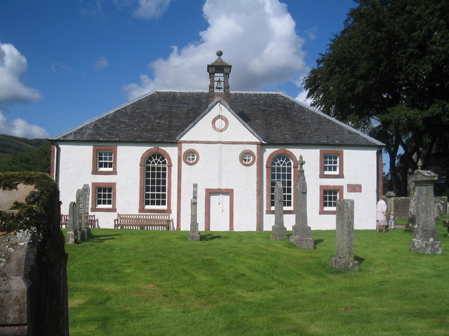
Achanelid Images

Images are sourced within 2km of 56.034006/-5.2117179 or Grid Reference NS0087. Thanks to Geograph Open Source API. All images are credited.

Forestry road, Ardachearanbeg Forest
A886 in Glendaruel
A886 in Glendaruel
A886 in Glendaruel
A886 in Glendaruel
Glendaruel, old walled garden hothouses
Mill Cottage
Mill Cottage
Camquhart - Glendaruel
Construction materials lying beside aerial installation The aerial is in an enclosure behind the camera position close to the highest point of a  moorland hill known to some hill-goers as Creachan Forc Airgiol, OS mapping however seems to apply that name to a different, nearby location. The road has reached the installation having left the B8000 some distance to the north.
Construction materials lying beside aerial installation
The aerial is in an enclosure behind the camera position close to the highest point of a moorland hill known to some hill-goers as Creachan Forc Airgiol, OS mapping however seems to apply that name to a different, nearby location. The road has reached the installation having left the B8000 some distance to the north.
Glendaruel fields
Glendaruel fields
Glendaruel, forestry houses at Duiletter Typical of the houses put up after the war for the workers involved in the large scale replacement of our timber stocks
Glendaruel, forestry houses at Duiletter
Typical of the houses put up after the war for the workers involved in the large scale replacement of our timber stocks
Hillside and burn at Achanelid
A tight bend at Achanelid
A886 in Glendaruel
A886 in Glendaruel
View down Glendaruel from near Strathlachan Forest
View towards Loch Fyne from near Strathlachan Forest
Microwave tower near Strathlachan Forest
Cripps' Road This road was built by Harrison Cripps, an eminent London surgeon, to join Glendaruel House, which he bought in 1904, to Evanachan - the farm on the East shore of Loch Fynne, where his daughter lived.
Cripps' Road
This road was built by Harrison Cripps, an eminent London surgeon, to join Glendaruel House, which he bought in 1904, to Evanachan - the farm on the East shore of Loch Fynne, where his daughter lived.
West Road, Glendaruel, at the rear of the caravan park
The Gate of Glendaruel House Glendaruel House was originally one of the Campbell residences in Argyll and was destroyed by fire in 1970.  This was at one time the main gate and it is said to have been built to resemble the Residency Gate, Lucknow to commemorate the Relief of the Siege of Lucknow which had been led by General Sir Colin Campbell.
The Gate of Glendaruel House
Glendaruel House was originally one of the Campbell residences in Argyll and was destroyed by fire in 1970. This was at one time the main gate and it is said to have been built to resemble the Residency Gate, Lucknow to commemorate the Relief of the Siege of Lucknow which had been led by General Sir Colin Campbell.
Show me another place!

Achanelid is located at Grid Ref: NS0087 (Lat: 56.034006, Lng: -5.2117179)

Unitary Authority: Argyll and Bute

Police Authority: Argyll and West Dunbartonshire

What 3 Words

///inched.error.eyelashes. Near Lochgilphead, Argyll & Bute

Related Wikis

Glendaruel

Glendaruel (Gaelic: Gleann Dà Ruadhail) is a glen in the Cowal peninsula in Argyll and Bute, Scotland. The main settlement in Glendaruel is the Clachan...

Kilmodan

Kilmodan is a civil parish situated on the Cowal Peninsula, in Argyll and Bute, in Scotland. It includes the valley of Glendaruel and surrounding areas...

Dunans Bridge

Dunans Bridge is a category A-listed structure, designed by Thomas Telford. It is located at Dunans Castle on the Cowal peninsula in Argyll, Scotland....

Auchenbreck Castle

Auchenbreck Castle (also spelt Auchinbreck) is located in Argyll and Bute, Scotland. Its remains are situated in Kilmodan parish, near the mouth of Glendaruel...

Nearby Amenities

Located within 500m of 56.034006,-5.2117179
Bench
Lat/Long: 56.0333196/-5.2142298
Toilets
Lat/Long: 56.0339495/-5.2117626
Shower
Lat/Long: 56.0339408/-5.2115427
The data included in this document is from www.openstreetmap.org. The data is made available under ODbL.

Have you been to Achanelid?

Leave your review of Achanelid below (or comments, questions and feedback).