Bay of Ulsta
Bay in Shetland
Scotland
Bay of Ulsta

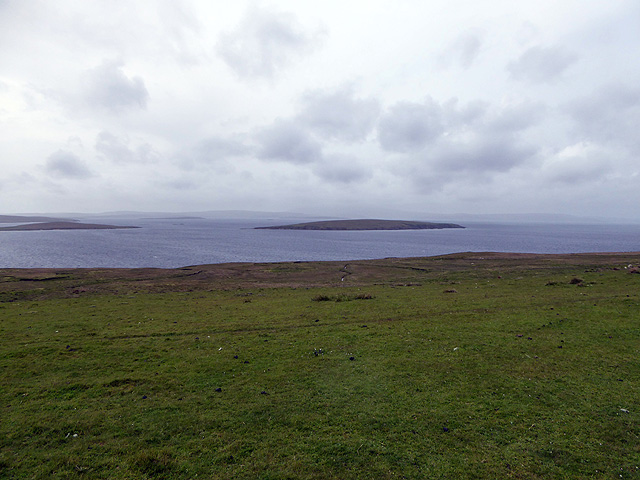
The Bay of Ulsta is a picturesque inlet located in the Shetland Islands, Scotland. Situated on the west coast of the mainland, the bay is characterized by its stunning natural beauty and tranquil atmosphere. It is a popular destination for both locals and tourists alike, offering a range of recreational activities and breathtaking views.
The bay's coastline is adorned with rugged cliffs and pebbled beaches, providing a stunning backdrop for those wishing to explore its natural wonders. The crystal-clear waters of the bay are home to a variety of marine life, making it an ideal spot for snorkeling and diving enthusiasts. The bay is also a popular spot for fishing, with anglers often casting their lines in search of a variety of fish species.
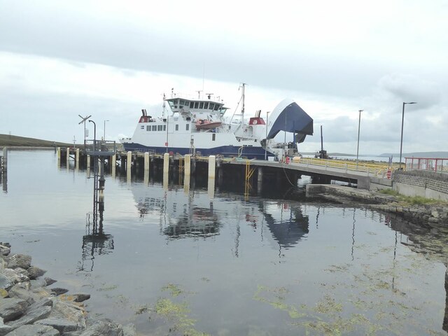
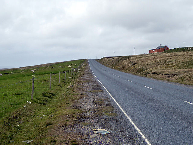
Aside from its natural beauty, the Bay of Ulsta is also significant historically. It was once a bustling hub for trade and transport, with ships traveling to and from the port. Today, remnants of this past can still be seen, with a small pier and a few old buildings that stand as a testament to the area's maritime history.
For those seeking a peaceful escape, the Bay of Ulsta offers a serene environment where visitors can relax and enjoy the tranquility of nature. Whether it's a leisurely stroll along the shoreline or a picnic on the beach, this beautiful bay is a must-visit destination for nature lovers and history enthusiasts alike.
If you have any feedback on the listing, please let us know in the comments section below.
Bay of Ulsta Images
Images are sourced within 2km of 60.495413/-1.1570128 or Grid Reference HU4679. Thanks to Geograph Open Source API. All images are credited.


Bay of Ulsta is located at Grid Ref: HU4679 (Lat: 60.495413, Lng: -1.1570128)
Unitary Authority: Shetland Islands
Police Authority: Highlands and Islands
What 3 Words
///electric.novelists.faded. Near Ulsta, Shetland Islands
Nearby Locations
Related Wikis

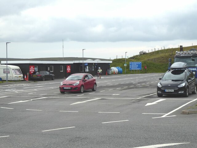
Ulsta
Ulsta is a village in the south-west of the island of Yell, Shetland, Scotland. North Ness Hall is the local community facility. The car ferry to Toft...

Copister
Copister is a village in Yell. It is a former centre for haaf fishing, and has a shingle beach. == References == Blackadder, Jill Slee (2003). Shetland...

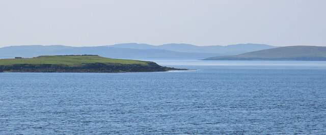
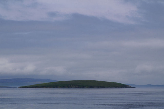
Bigga, Shetland
Bigga is an uninhabited island in the Yell Sound between the Mainland and Yell in Shetland, Scotland. == Geography and geology == Just over 1,000 metres...
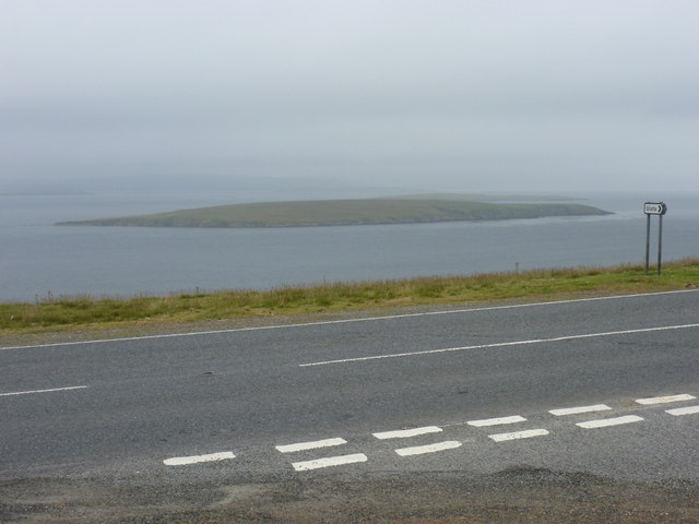
Uynarey
Uynarey is one of the Shetland islands in Yell Sound, just to the north of Bigga, and east of Brother Island. It is an RSPB reserve. The name comes from...
Nearby Amenities
Located within 500m of 60.495413,-1.1570128Have you been to Bay of Ulsta?
Leave your review of Bay of Ulsta below (or comments, questions and feedback).