Bight of Lingness
Bay in Shetland
Scotland
Bight of Lingness

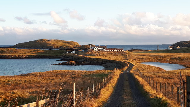
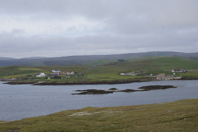
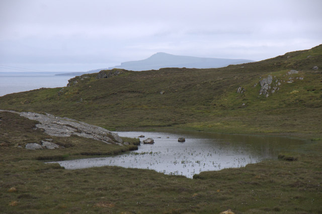
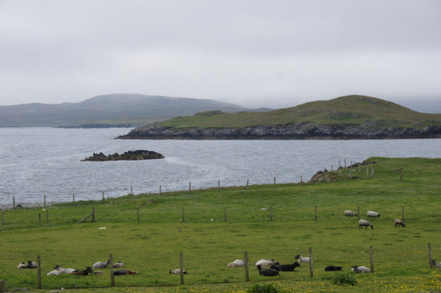
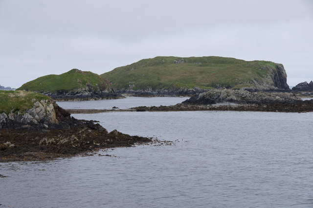
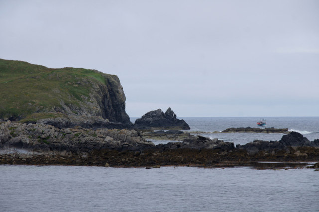
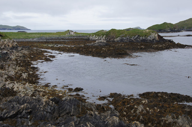
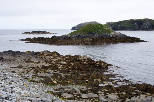
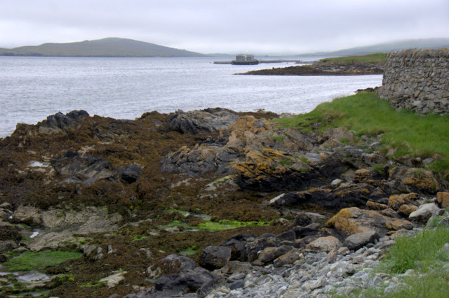
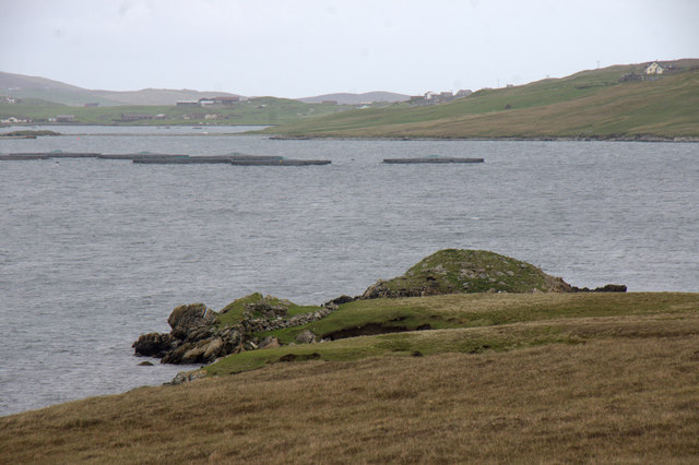
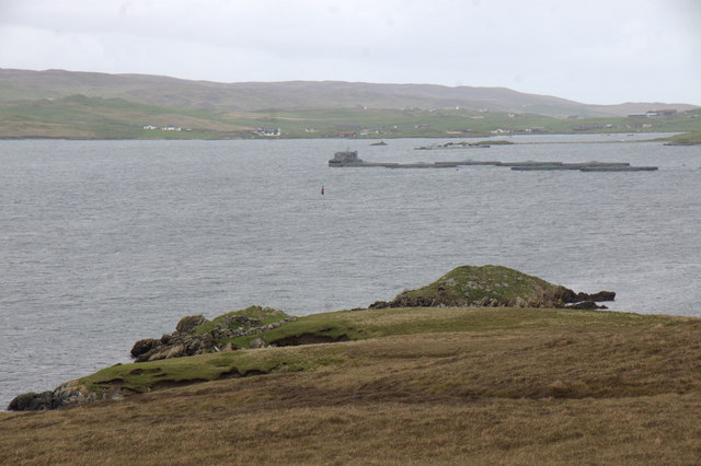
The Bight of Lingness is a picturesque bay located in the Shetland Islands, Scotland. Nestled on the west coast of the mainland, this bay offers breathtaking views of the surrounding rugged cliffs and the North Atlantic Ocean. The bay is named after the nearby Lingness Point, a prominent headland that juts out into the sea.
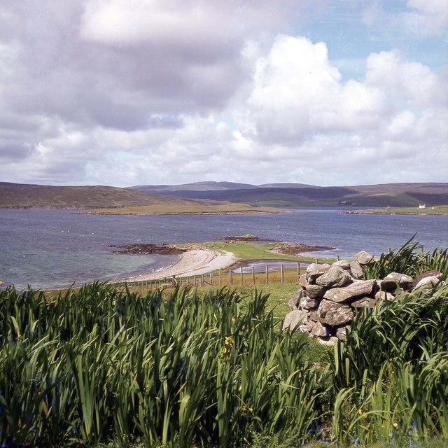
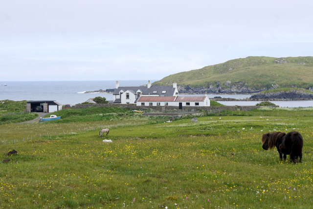
The Bight of Lingness is known for its stunning natural beauty, with its crystal-clear turquoise waters and pristine sandy beach. The bay is a popular spot for outdoor enthusiasts, attracting visitors who enjoy various activities such as swimming, fishing, and birdwatching. The area is home to a diverse range of bird species, including puffins, fulmars, and guillemots, making it a haven for birdwatchers.
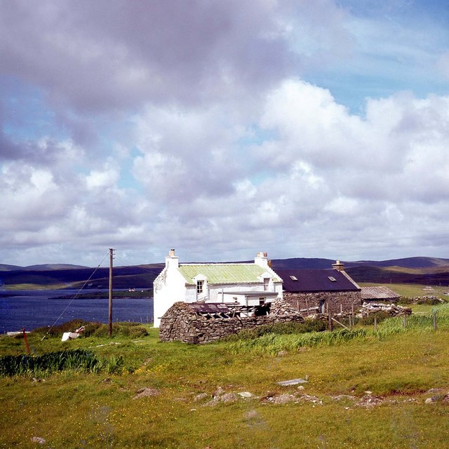
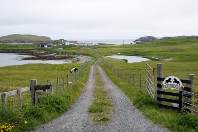
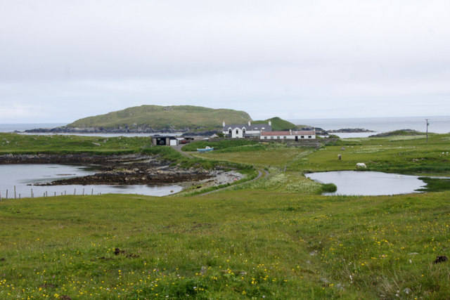
In addition to its natural charm, the Bight of Lingness also holds historical significance. The bay was once a hub for the local fishing industry, with fishermen setting off from its shores in search of herring and other valuable catches. Today, remnants of old fishing huts and equipment can still be found along the shoreline, serving as reminders of the area's rich maritime heritage.
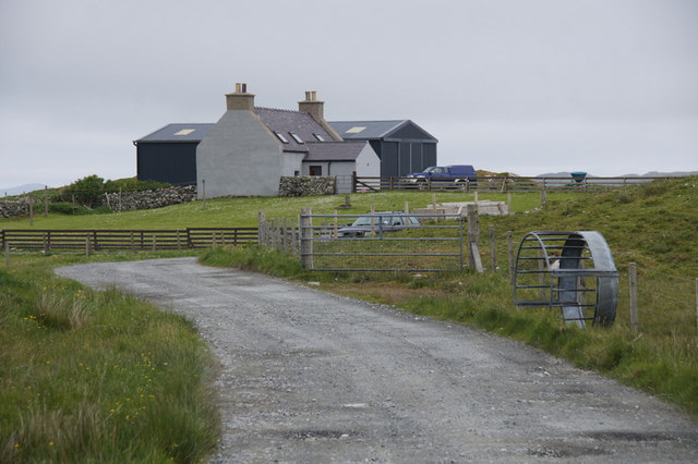
Access to the Bight of Lingness is relatively easy, with a nearby parking area and a short walk to the bay. The bay offers a peaceful and tranquil setting, ideal for those seeking a respite from the hustle and bustle of everyday life. Whether exploring its rocky cliffs or simply enjoying the serenity of the beach, the Bight of Lingness is a must-visit destination for nature lovers and history enthusiasts alike.
If you have any feedback on the listing, please let us know in the comments section below.
Bight of Lingness Images
Images are sourced within 2km of 60.241876/-1.1658812 or Grid Reference HU4651. Thanks to Geograph Open Source API. All images are credited.
Bight of Lingness is located at Grid Ref: HU4651 (Lat: 60.241876, Lng: -1.1658812)
Unitary Authority: Shetland Islands
Police Authority: Highlands and Islands
What 3 Words
///fried.deeds.examine. Near Lerwick, Shetland Islands
Nearby Locations
Related Wikis

South Isle of Gletness
The South Isle of Gletness is an islet off Gletness, in Nesting in east central, Mainland, Shetland. It is 30m at its highest point. Amongst its features...

North Isle of Gletness
The North Isle of Gletness is one of the Shetland Islands. It is east of the Shetland Mainland, near Gletness in Nesting parish, and is so called in contradistinction...

Freester
Freester is a settlement on Mainland, Shetland, Scotland. It is in the parish of Nesting. == References == == External links == Canmore - Hard Knowe site...

RAF Catfirth
RAF Catfirth was a First World War seaplane base located on the island of Mainland in the Shetland Islands, Scotland. The base was under the control of...
Nearby Amenities
Located within 500m of 60.241876,-1.1658812Have you been to Bight of Lingness?
Leave your review of Bight of Lingness below (or comments, questions and feedback).