Doos' Cove
Bay in Shetland
Scotland
Doos' Cove
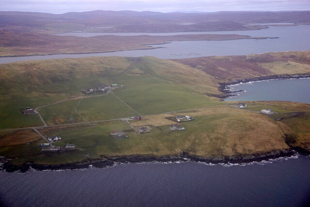
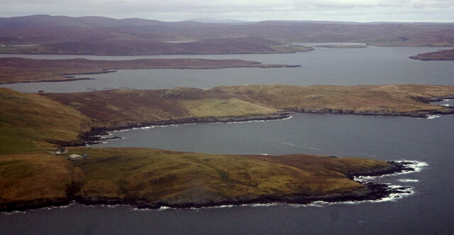
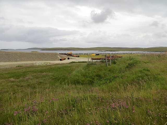
Doos' Cove, also known as Doos Bay, is a picturesque natural feature located on the west coast of Shetland, Scotland. Situated in the parish of Sandness, the bay is nestled between the settlements of Westerwick and Sandness, approximately 31 miles northwest of the main town of Lerwick.
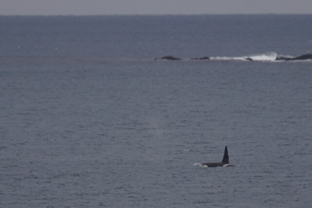
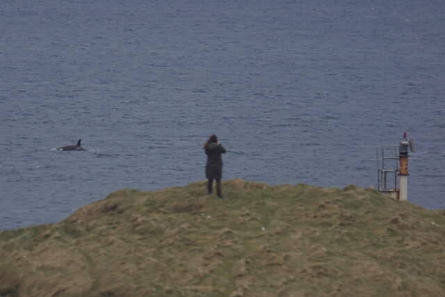
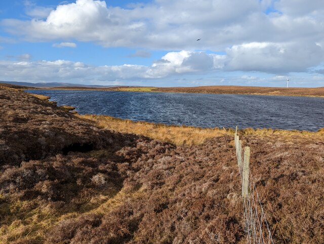
Doos' Cove is renowned for its stunning beauty and tranquil atmosphere. The bay is surrounded by rugged cliffs and rolling hills, providing a dramatic backdrop to the crystal-clear waters of the North Atlantic Ocean. The area is rich in wildlife, with numerous seabirds, seals, and occasionally dolphins being spotted in the bay.
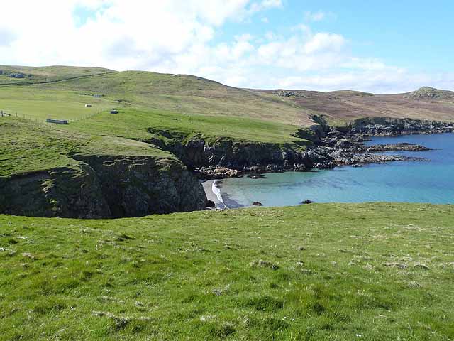
The beach at Doos' Cove is a hidden gem, characterized by its pristine golden sand and pebbles. It is a great spot for leisurely walks, beachcombing, and picnics. The bay also offers excellent opportunities for fishing and boating, attracting anglers and water sports enthusiasts alike.
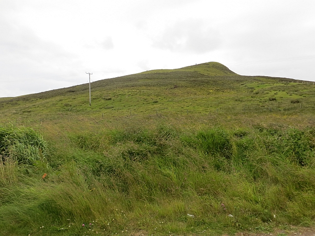
Visitors to Doos' Cove can enjoy breathtaking views from the cliff-top walks that overlook the bay. The coastal path provides access to the nearby Sandness Hill, offering panoramic vistas of the surrounding countryside and the distant Atlantic Ocean.
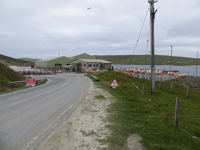
While Doos' Cove is a secluded destination, the nearby village of Sandness offers limited amenities, including a small shop and a cozy pub. Visitors seeking accommodation can find self-catering cottages and bed and breakfast options in the surrounding area.
In summary, Doos' Cove is a hidden gem on the west coast of Shetland, offering stunning natural beauty, a peaceful ambiance, and a range of outdoor activities for nature lovers and adventurers alike.
If you have any feedback on the listing, please let us know in the comments section below.
Doos' Cove Images
Images are sourced within 2km of 60.194463/-1.171178 or Grid Reference HU4645. Thanks to Geograph Open Source API. All images are credited.


Doos' Cove is located at Grid Ref: HU4645 (Lat: 60.194463, Lng: -1.171178)
Unitary Authority: Shetland Islands
Police Authority: Highlands and Islands
What 3 Words
///sulky.jots.hedgehog. Near Lerwick, Shetland Islands
Nearby Locations
Related Wikis

Breiwick
Breiwick is a village on the island of Mainland in Shetland, Scotland. Breiwick is in the parish of Tingwall, and is 1.6 mi (2.5 km) north-east of Gott...
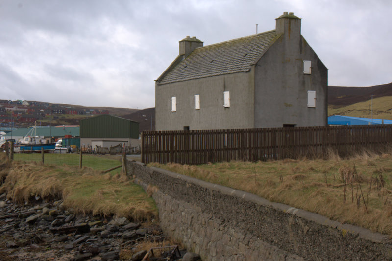
Böd of Gremista
The Böd of Gremista, situated at the north end of Lerwick, Shetland, Scotland, is a typical 18th century Shetland fishing booth (or böd). It is protected...
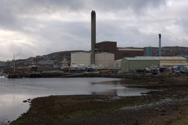
Lerwick Power Station
The main power supply for Shetland is provided by Lerwick Power Station, located in Gremista, 2 kilometres (1.2 mi) northwest of Lerwick town centre. This...

Veensgarth
Veensgarth (Old Norse: Vikingsgarðr, Viking farm, or Vingarðr, Meadow Farm), is a village in the Tingwall valley west of Lerwick on Mainland in Shetland...
Nearby Amenities
Located within 500m of 60.194463,-1.171178Have you been to Doos' Cove?
Leave your review of Doos' Cove below (or comments, questions and feedback).