Bathampton
Settlement in Somerset
England
Bathampton

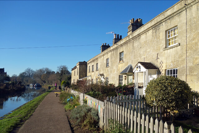
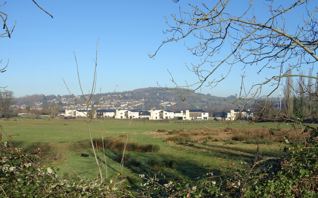
Bathampton is a picturesque village located in the county of Somerset, England. Situated just two miles east of the historic city of Bath, it is nestled in the lush green countryside of the Avon Valley. With its idyllic setting and charming character, Bathampton attracts both tourists and locals alike.
The village is renowned for its stunning Georgian architecture, with many elegant buildings dating back to the 18th century. The picturesque Bathampton Mill, which sits on the River Avon, is a prominent feature and serves as a reminder of the area's rich industrial heritage.
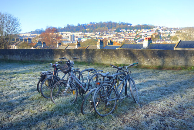
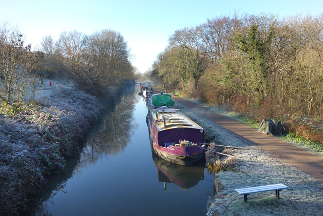
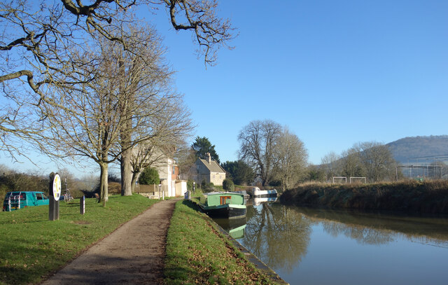
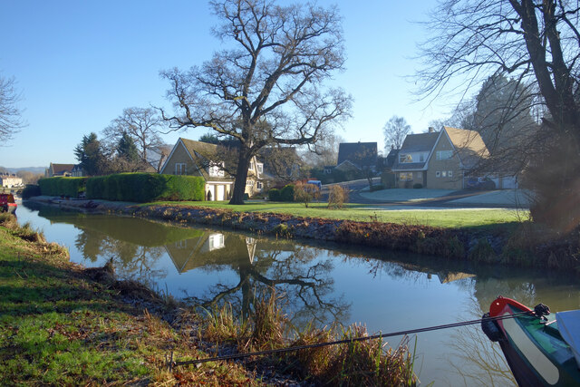
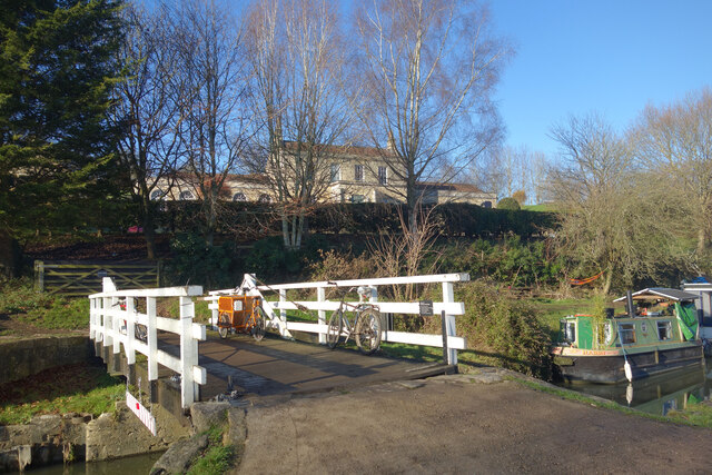
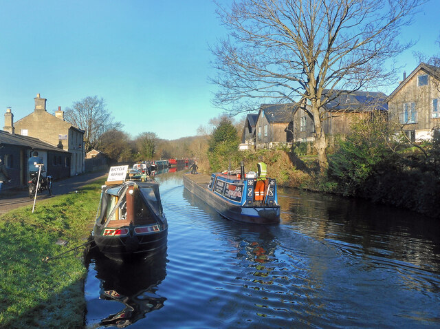
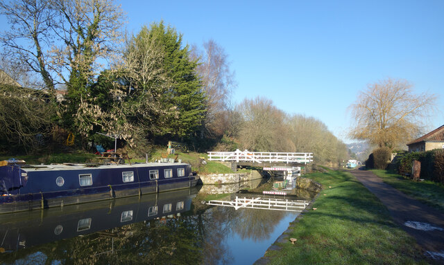
Nature enthusiasts will appreciate the tranquil surroundings of Bathampton, as it is surrounded by rolling hills and scenic countryside. The nearby Bathampton Down is a popular spot for walking and hiking, offering breathtaking panoramic views of the Avon Valley. The Kennet and Avon Canal also passes through the village, providing opportunities for leisurely canal walks and boat trips.
Bathampton offers a range of amenities for residents and visitors. The village has a local pub, The George Inn, which serves traditional British food and offers a warm and welcoming atmosphere. There is also a primary school, a village hall, and a thriving community spirit.
With its close proximity to Bath, residents of Bathampton have easy access to the city's many attractions, including the famous Roman Baths, Bath Abbey, and the Thermae Bath Spa. The village is well-connected by public transport, with regular bus services running to Bath and other nearby towns.
Overall, Bathampton is a delightful village that seamlessly combines natural beauty with historical charm, making it a sought-after destination for those seeking a peaceful and picturesque retreat.
If you have any feedback on the listing, please let us know in the comments section below.
Bathampton Images
Images are sourced within 2km of 51.393452/-2.3210367 or Grid Reference ST7766. Thanks to Geograph Open Source API. All images are credited.


Bathampton is located at Grid Ref: ST7766 (Lat: 51.393452, Lng: -2.3210367)
Unitary Authority: Bath and North East Somerset
Police Authority: Avon and Somerset
What 3 Words
///ants.cages.minute. Near Bathford, Somerset
Nearby Locations
Related Wikis
Bathampton
Bathampton () is a village and civil parish 2 miles (3 km) east of Bath, England on the south bank of the River Avon. The parish has a population of 1...
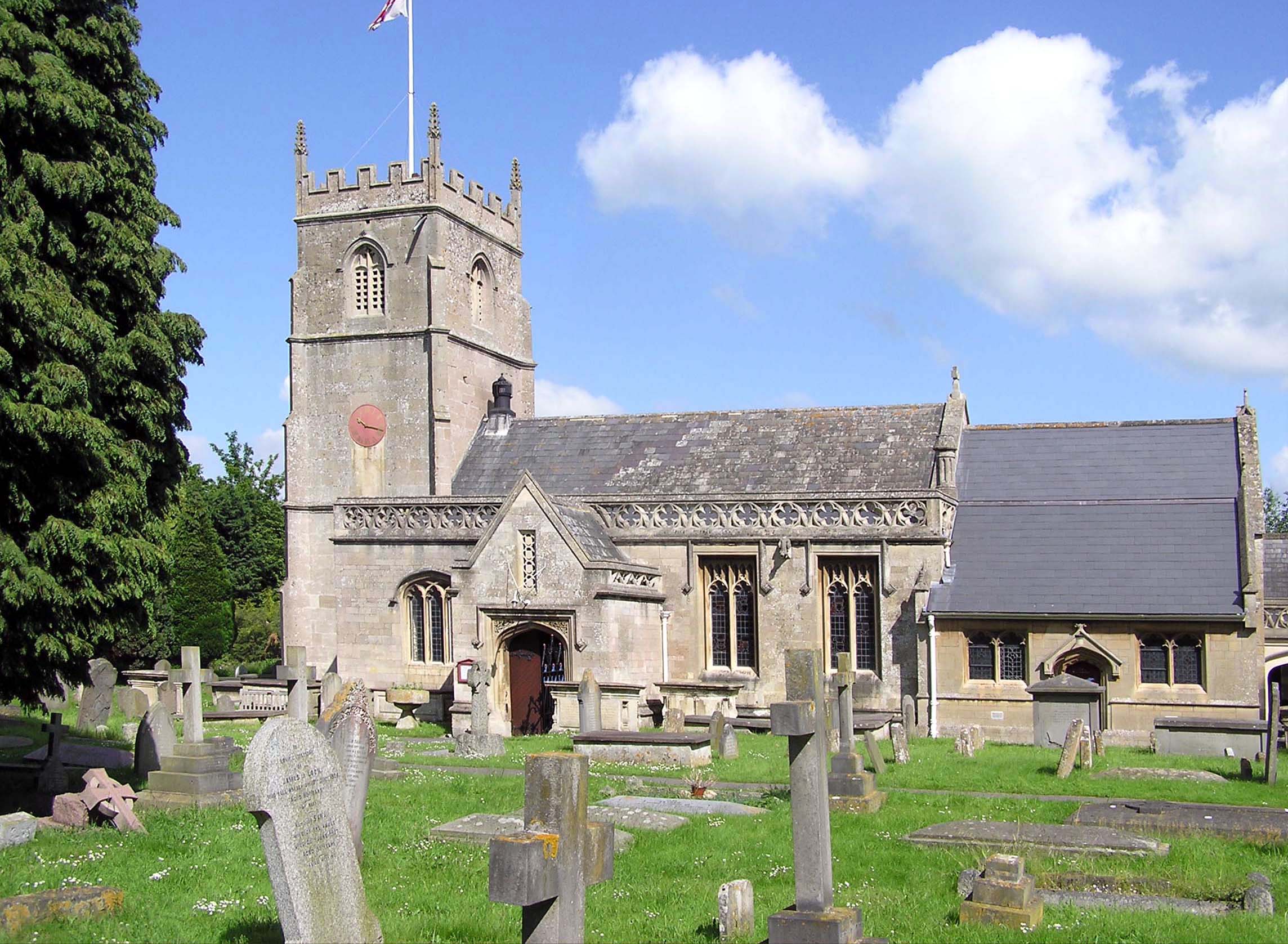
Church of St Nicholas, Bathampton
The Church of St Nicholas is an Anglican parish church in Bathampton, Somerset, standing between the River Avon and the Kennet and Avon Canal. Built in...
Hampton Rocks Cutting
Hampton Rocks Cutting (grid reference ST779666) is a 1.3 hectare geological Site of Special Scientific Interest near the village of Bathampton, Somerset...

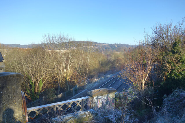
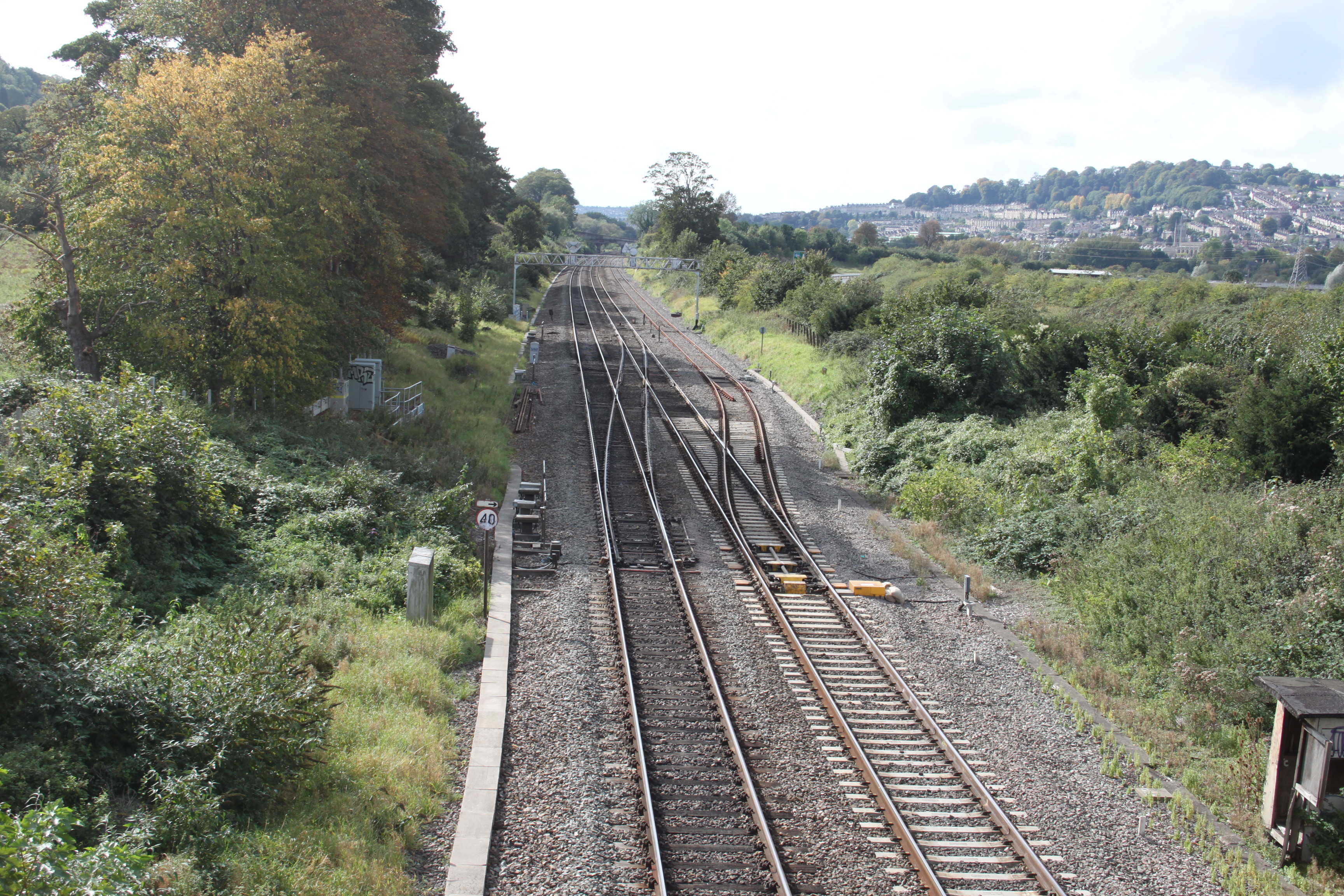
Bathampton railway station
Bathampton railway station is a former railway station in Bath, UK, serving the community of Bathampton. The station opened on 2 February 1857 and closed...
Nearby Amenities
Located within 500m of 51.393452,-2.3210367Have you been to Bathampton?
Leave your review of Bathampton below (or comments, questions and feedback).