Bay of Quendale

Bay in Shetland

Scotland

Bay of Quendale

Headlands, Virkie, from the air
Headlands, Virkie, from the air Credit: Mike Pennington

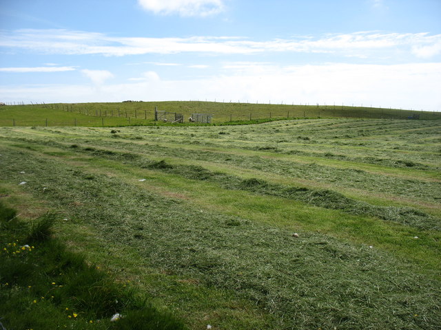
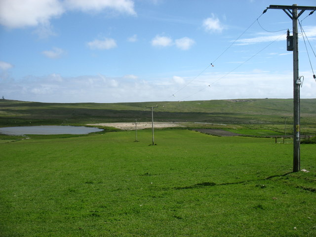
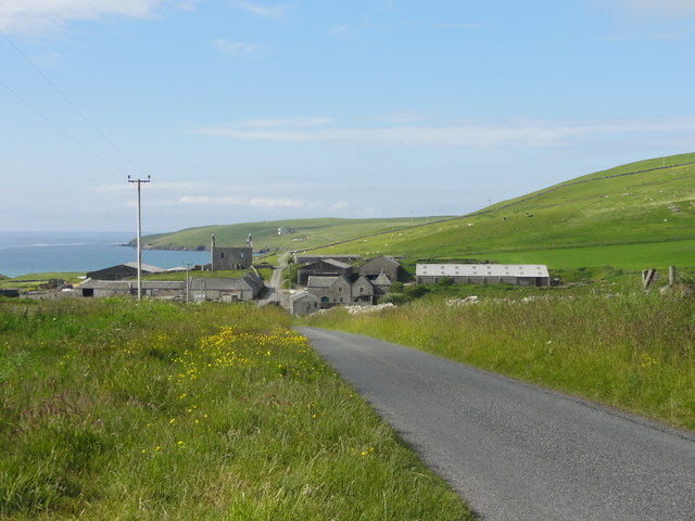
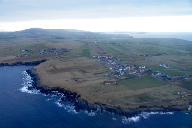
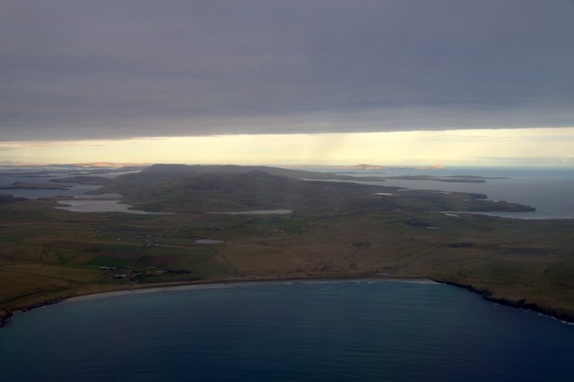
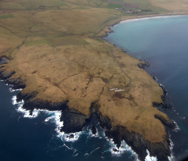
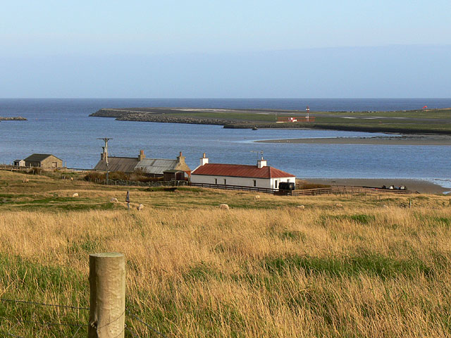
The Bay of Quendale is a picturesque coastal area located in the southern part of the Shetland Islands in Scotland. It lies on the east coast of the mainland, approximately 20 miles south of the town of Lerwick. The bay stretches for around 3 miles and is known for its stunning natural beauty and diverse wildlife.

The bay is characterized by its pristine sandy beach, which is one of the longest in Shetland. The beach is backed by rolling sand dunes and grassy cliffs, providing a dramatic backdrop to the area. The crystal-clear waters of the bay are often calm, making it a popular spot for swimming, kayaking, and other water activities.

The Bay of Quendale is also renowned for its rich biodiversity. It is home to a variety of bird species, including terns, oystercatchers, and gulls. Visitors may also spot seals and otters along the shoreline. The area's marine life is diverse, with numerous species of fish and shellfish inhabiting the bay.

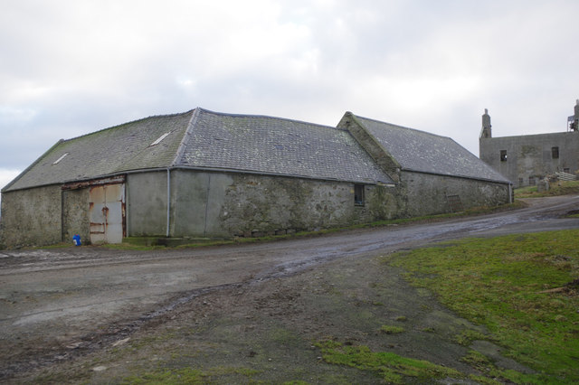
In addition to its natural beauty, the bay holds historical significance. The nearby Quendale Mill, a restored watermill dating back to the 19th century, offers visitors a glimpse into the area's industrial past.

Overall, the Bay of Quendale is a must-visit destination for nature lovers and those seeking tranquility amidst breathtaking landscapes. Its pristine beach, diverse wildlife, and historical landmarks make it a truly unique and memorable location in the Shetland Islands.

If you have any feedback on the listing, please let us know in the comments section below.

Bay of Quendale Images

Images are sourced within 2km of 59.893141/-1.3324898 or Grid Reference HU3712. Thanks to Geograph Open Source API. All images are credited.

Headlands, Virkie, from the air
Meadowvale, Virkie, from the air
Toab from the air
Toab from the air
Toab and Pool of Virkie from the air
Toab and Lady's Holm from Exnaboe Fair Isle is on the horizon.
Toab and Lady's Holm from Exnaboe
Fair Isle is on the horizon.
Drying the hay at Gord Farm At least two weeks of dry weather must have been very welcome. And another week, at least, to come.
Drying the hay at Gord Farm
At least two weeks of dry weather must have been very welcome. And another week, at least, to come.
Loch of Hillwell Electricity power cables may not be among the most attractive items in rural areas - but they are vital to local life and (in Geograph terms) certainly "typical of the square".
Loch of Hillwell
Electricity power cables may not be among the most attractive items in rural areas - but they are vital to local life and (in Geograph terms) certainly "typical of the square".
Marker Stone Roadside marker stone on the A970.  Stone has a plaque screwed to it reading "Shetland Islands Council Road Reconstruction Programme 1987".
Marker Stone
Roadside marker stone on the A970. Stone has a plaque screwed to it reading "Shetland Islands Council Road Reconstruction Programme 1987".
Triangulation Station Ordnance Survey triangulation station, TP6728 - Ward Hill.
Triangulation Station
Ordnance Survey triangulation station, TP6728 - Ward Hill.
Quendale Farm & Mill Road leading to Quendale Farm and Mill
Quendale Farm & Mill
Road leading to Quendale Farm and Mill
Toab and Virkie from the air Taken from a plane just after take-off from Sumburgh Airport.
Toab and Virkie from the air
Taken from a plane just after take-off from Sumburgh Airport.
Toab and Hestingott from the air Taken from a plane just after take-off from Sumburgh Airport.
Toab and Hestingott from the air
Taken from a plane just after take-off from Sumburgh Airport.
Bay of Quendale from the air Taken from a plane just after take-off from Sumburgh Airport. The Loch of Hillwell and, further back, the Lochs of Spiggie and Brow can be seen. In the distance some of the rest of Shetland is in sunshine, including Noss and Bressay on the right.
Bay of Quendale from the air
Taken from a plane just after take-off from Sumburgh Airport. The Loch of Hillwell and, further back, the Lochs of Spiggie and Brow can be seen. In the distance some of the rest of Shetland is in sunshine, including Noss and Bressay on the right.
Garths Ness from the air Taken from a plane just after take-off from Sumburgh Airport.
Garths Ness from the air
Taken from a plane just after take-off from Sumburgh Airport.
Garth Wick from the air Taken from a plane just after take-off from Sumburgh Airport. The Lochs of Spiggie and Brow are obvious in the distance.
Garth Wick from the air
Taken from a plane just after take-off from Sumburgh Airport. The Lochs of Spiggie and Brow are obvious in the distance.
Thistle Court, Hestingott, from the air
Svingborghus, Toab, from the air Taken from a plane about to land at Sumburgh Airport.
Svingborghus, Toab, from the air
Taken from a plane about to land at Sumburgh Airport.
Quendale Farm Opposite Quendale Mill is Quendale Farm, above which is a substantial ruined house, a Shetland haa or laird's house.
Quendale Farm
Opposite Quendale Mill is Quendale Farm, above which is a substantial ruined house, a Shetland haa or laird's house.
Show me another place!

Bay of Quendale is located at Grid Ref: HU3712 (Lat: 59.893141, Lng: -1.3324898)

Unitary Authority: Shetland Islands

Police Authority: Highlands and Islands

What 3 Words

///aviators.navy.chipper. Near Sumburgh, Shetland Islands

Nearby Locations

Bay of Quendale

Related Wikis

MV Braer

The MV Braer was an oil tanker which ran aground during a storm off Shetland, Scotland, in January 1993, and nearly a week later broke up during the most...

Toab, Shetland

Toab is the southernmost village on Mainland, Shetland, Scotland. It is part of Virkie and overlooks Sumburgh Airport. Toab is within the parish of Dunrossness...

Exnaboe

Exnaboe, locally referred to as 'bö', is a settlement in the Virkie area of the parish of Dunrossness, South Mainland, Shetland, Scotland, overlooking...

Virkie

Virkie is the most southerly district of Shetland, other than Fair Isle and is best defined as the area south of the Ward Hill in Dunrossness, also locally...

Old Scatness

Old Scatness is an archeological site on Scat Ness, near the village of Scatness, in the parish of Dunrossness in the south end of Mainland, Shetland,...

Pool of Virkie

The Pool of Virkie is a tidal lagoon in the parish of Dunrossness, south Mainland, Shetland. == History == The Pool of Virkie, during the late 15th and...

Lady's Holm

Lady's Holm is an island off southern Mainland in the Shetland Islands. It is not to be confused with the Maiden Stack, which is also known as "Frau Stack...
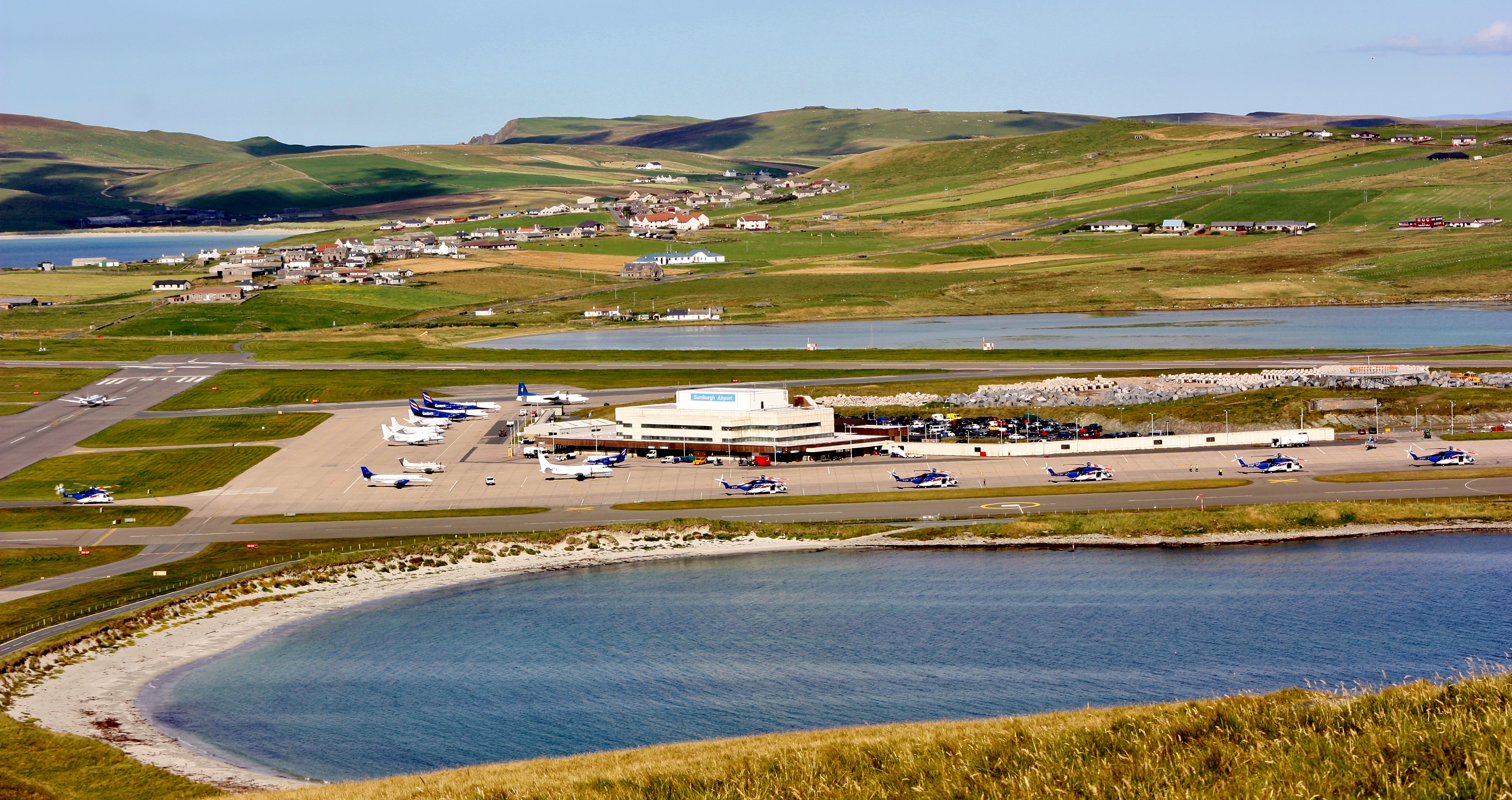
Sumburgh Airport

Sumburgh Airport (IATA: LSI, ICAO: EGPB) is the main airport serving Shetland in Scotland. It is located on the southern tip of the mainland, in the parish...

Have you been to Bay of Quendale?

Leave your review of Bay of Quendale below (or comments, questions and feedback).