Bight of Grunigill
Bay in Shetland
Scotland
Bight of Grunigill
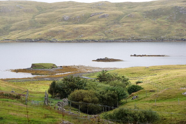
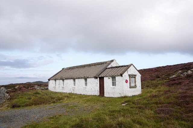
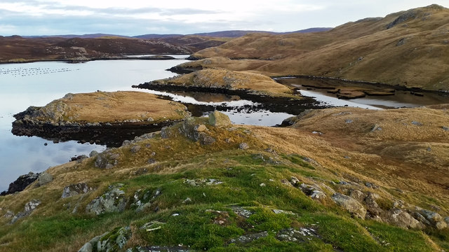
The Bight of Grunigill is a beautiful bay located in the Shetland Islands, situated off the northeastern coast of Scotland. This bay stretches along the western coastline of the island of Unst, the northernmost inhabited island of the Shetland archipelago.
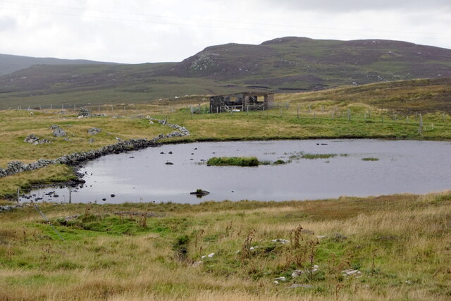
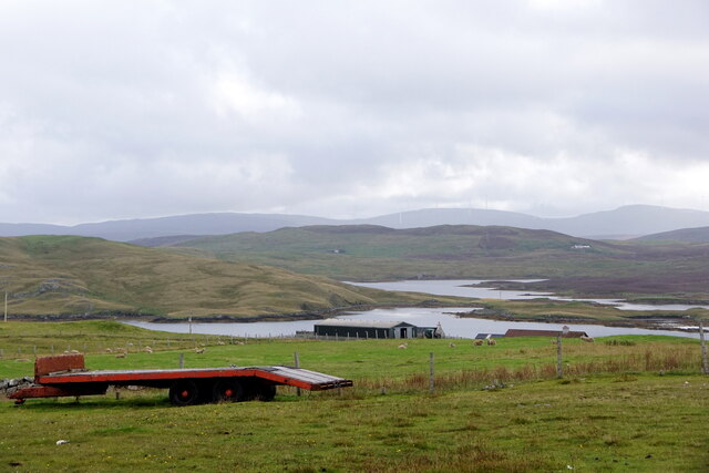
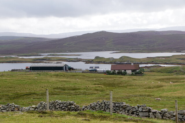
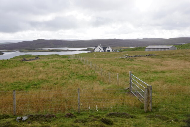
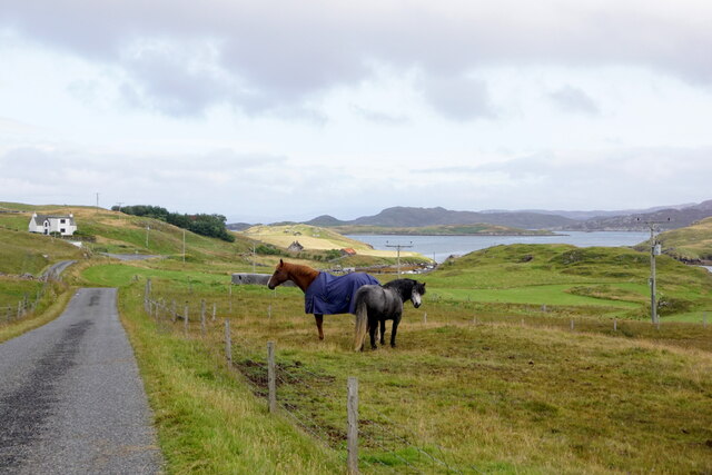
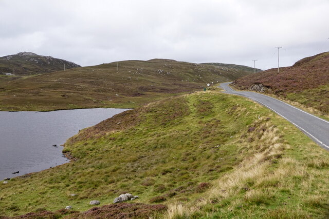
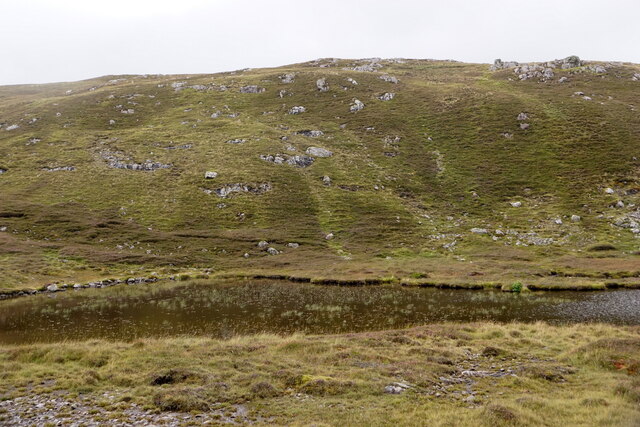
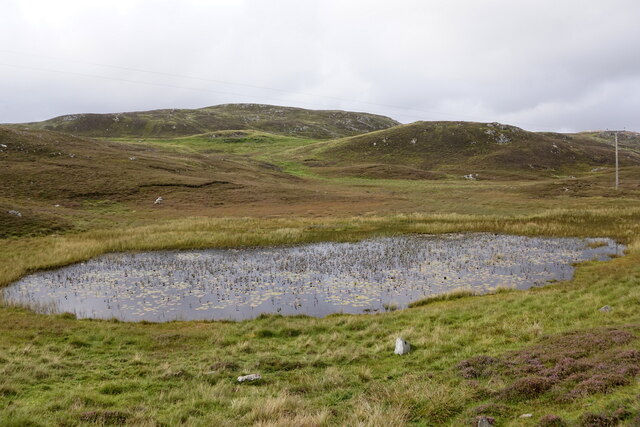
The Bight of Grunigill is characterized by its stunning natural scenery, with rugged cliffs rising up from the deep blue waters. The bay is surrounded by rolling hills and green pastures, offering a picturesque backdrop to the coastal landscape. The area is a haven for wildlife, with numerous seabirds, seals, and even otters being commonly sighted in the bay.
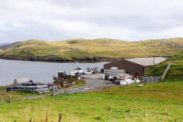
The waters of the Bight of Grunigill are relatively sheltered, making it an ideal spot for boating and fishing activities. The bay is also known for its rich marine life, with various species of fish and shellfish thriving in its waters. It is not uncommon to see locals engaging in traditional fishing practices, such as creel fishing, in the bay.
In addition to its natural beauty, the Bight of Grunigill also holds historical significance. Nearby, there are ancient archaeological sites, including the remains of a Viking settlement, showcasing the area's long history and cultural heritage.
Overall, the Bight of Grunigill is a captivating bay that offers a perfect blend of natural splendor, wildlife, and historical interest. Whether visitors are seeking adventure, relaxation, or a deeper connection with nature, this bay in Shetland is sure to leave a lasting impression.
If you have any feedback on the listing, please let us know in the comments section below.
Bight of Grunigill Images
Images are sourced within 2km of 60.293958/-1.4805545 or Grid Reference HU2856. Thanks to Geograph Open Source API. All images are credited.


Bight of Grunigill is located at Grid Ref: HU2856 (Lat: 60.293958, Lng: -1.4805545)
Unitary Authority: Shetland Islands
Police Authority: Highlands and Islands
What 3 Words
///shadowed.locator.slurping. Near Aith, Shetland Islands
Nearby Locations
Related Wikis

Brindister, West Mainland
Brindister is a settlement on the West Mainland of Shetland, Scotland. It is within the parish of Sandsting, and on the western shore of Brindister Voe...

Clousta
Clousta is a hamlet on Mainaland, in the island's west, Shetland, Scotland. Approximately seventy people live here, many of whom are commuters, but local...

Broch of West Burrafirth
The Broch of West Burrafirth is an Iron Age broch located on the west side of Mainland, Shetland (grid reference HU25625720). == Location == The broch...

Vementry
Vementry (Old Norse: "Vemunðarey") is an uninhabited Scottish island in Shetland on the north side of the West Mainland, lying south of Muckle Roe. �...

Linga (near Vementry)
Linga is one of the Shetland Islands, near Vementry. It is one of many islands in Shetland called Linga. The island is uninhabited. == Geography and... ==
Park Hall, Shetland
Park Hall is a derelict laird's house situated west of the village of Bixter, in the parish of Sandsting on the Mainland of Shetland, Scotland. It has...

West Mainland
The West Mainland of the Shetland Islands is the part of the Shetland Mainland lying west of Aith (1° 23′ W). == Geography == Points of interest include...

Braewick, Sandsting
Braewick is a settlement on the west Mainland of Shetland, Scotland. Braewick is on the western shore of Aith Voe and 1.2 mi (2 km) north of Aith itself...
Nearby Amenities
Located within 500m of 60.293958,-1.4805545Have you been to Bight of Grunigill?
Leave your review of Bight of Grunigill below (or comments, questions and feedback).