Alnmouth Bay

Bay in Northumberland

England

Alnmouth Bay

Birling, Northumberland The coast line at Birling Carrs, Birling.
Birling, Northumberland Credit: Rebecca A Wills

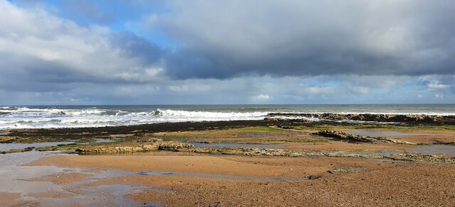
Alnmouth Bay is a picturesque coastal area located in Northumberland, England. Situated on the northeastern coast of England, the bay is known for its stunning natural beauty and tranquil atmosphere. Spanning approximately 2 miles, Alnmouth Bay is bordered by the charming village of Alnmouth to the south and the Aln Estuary to the north.

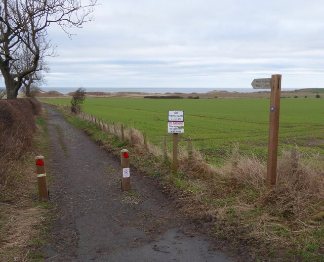
The bay boasts a long stretch of golden sand that is perfect for long walks, picnics, and sunbathing. The beach is backed by dunes and grassy areas, which provide a peaceful and scenic backdrop. Visitors can enjoy panoramic views of the North Sea and the surrounding coastal landscape from various viewpoints along the bay.

Alnmouth Bay is a haven for wildlife enthusiasts and birdwatchers. The area is home to a wide variety of bird species, including oystercatchers, curlews, and terns. The bay is also a designated Site of Special Scientific Interest (SSSI) due to its rich biodiversity and geological features.

Water sports enthusiasts can take advantage of the bay's calm waters for activities such as kayaking, paddleboarding, and sailing. Fishing is also popular in the area, with opportunities for both sea and river angling.

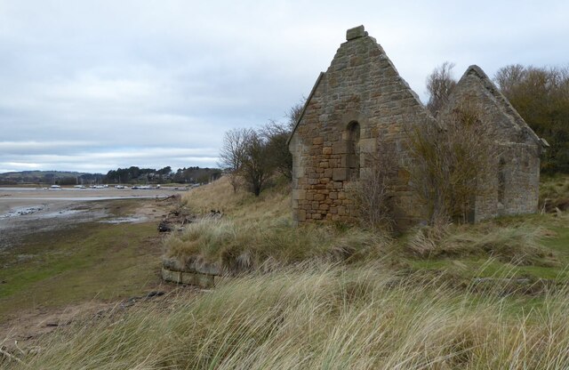
For those seeking a break from the beach, Alnmouth village offers a range of amenities, including charming pubs, cafes, and shops. The village is known for its picturesque cottages and historic buildings, adding to the overall charm of the bay.

In summary, Alnmouth Bay is a stunning coastal area that offers a wide range of activities and natural beauty. Whether visitors are looking for relaxation, wildlife spotting, or water sports, Alnmouth Bay is sure to captivate and provide a memorable experience.

If you have any feedback on the listing, please let us know in the comments section below.
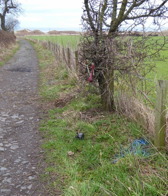
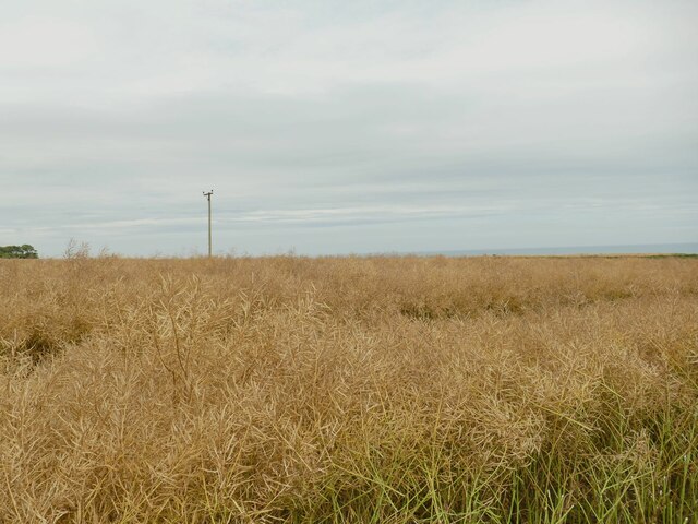
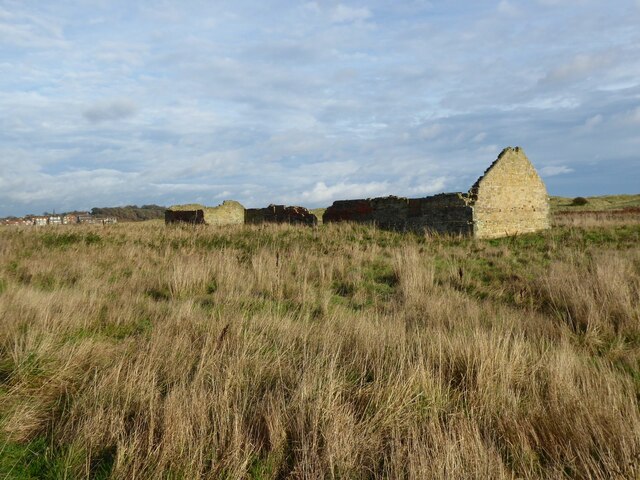
Alnmouth Bay Images

Images are sourced within 2km of 55.37909/-1.5987928 or Grid Reference NU2509. Thanks to Geograph Open Source API. All images are credited.

Birling, Northumberland The coast line at Birling Carrs, Birling.
Birling, Northumberland
The coast line at Birling Carrs, Birling.
No Vehicular Access For many years we have driven slowly down this very bumpy road giving access to the coast south of the River Aln.  Today it is blocked!
No Vehicular Access
For many years we have driven slowly down this very bumpy road giving access to the coast south of the River Aln. Today it is blocked!
Ruined Mortuary Chapel Built 1869-70 at a cost of 177.6s.3d. raised by public subscription, as part of a plan to re-open the cemetery on Church Hill (site of the ancient parish church of St. Waleric, the remains of which were destroyed by the 1806 flood). 
The boats on the left are in Alnmouth Harbour.
The Christmas Day Storm of 1806 caused the river to cut through the low ground to the north of Church Hill, destroying part of the village in the process. The remains of the southern loop, where the camera is sited, then silted up, leaving the river to follow the course it does today, which cuts Church Hill off from the village.
Ruined Mortuary Chapel
Built 1869-70 at a cost of 177.6s.3d. raised by public subscription, as part of a plan to re-open the cemetery on Church Hill (site of the ancient parish church of St. Waleric, the remains of which were destroyed by the 1806 flood). The boats on the left are in Alnmouth Harbour. The Christmas Day Storm of 1806 caused the river to cut through the low ground to the north of Church Hill, destroying part of the village in the process. The remains of the southern loop, where the camera is sited, then silted up, leaving the river to follow the course it does today, which cuts Church Hill off from the village.
Track leading from A1068 to the beach Someone, perhaps the person who has put up the 'No dog fouling' signs, has sprayed the 'unpleasant droppings' with blue paint.
There are scores of them all the way down.  Horrible!  It spoils a pleasant walk.
Track leading from A1068 to the beach
Someone, perhaps the person who has put up the 'No dog fouling' signs, has sprayed the 'unpleasant droppings' with blue paint. There are scores of them all the way down. Horrible! It spoils a pleasant walk.
Dog fouling Someone has blue-painted the dog foulings.  In response the 'foulers' have hung their 'collections' on the tree and thrown the 'collection bag' on the grass.
How inconsiderate can you get?  Who is supposed to clear up the mess?
See also <a title="https://www.geograph.org.uk/photo/7078832" href="https://www.geograph.org.uk/photo/7078832">Link</a>
Dog fouling
Someone has blue-painted the dog foulings. In response the 'foulers' have hung their 'collections' on the tree and thrown the 'collection bag' on the grass. How inconsiderate can you get? Who is supposed to clear up the mess? See also Link
Crop field near Warkworth Oilseed rape after the yellow flowers, nearly ready for harvest.
Crop field near Warkworth
Oilseed rape after the yellow flowers, nearly ready for harvest.
Parking for the open day at Shortridge Hall A strip of crop had been removed to make way for parking. Fortunately for drivers the ground was very dry.
Parking for the open day at Shortridge Hall
A strip of crop had been removed to make way for parking. Fortunately for drivers the ground was very dry.
Weathered tree trunk Washed up on the beach, not sure whether the intense bleaching on the top end of the trunk took place here or in the river from whence it came.
Weathered tree trunk
Washed up on the beach, not sure whether the intense bleaching on the top end of the trunk took place here or in the river from whence it came.
Small cave
Small cave
The Guano Shed Constructed as a storage facility for guano imported from Peru during the 19th Century.  The building has undergone many changes in its 150 - 200 year life. Including modern defence see <a title="https://www.geograph.org.uk/photo/7334947" href="https://www.geograph.org.uk/photo/7334947">Link</a>
It was placed well away from the village on account of the stench of the guano!
The Guano Shed
Constructed as a storage facility for guano imported from Peru during the 19th Century. The building has undergone many changes in its 150 - 200 year life. Including modern defence see Link It was placed well away from the village on account of the stench of the guano!
Gun loop in Guano Shed A concrete gun loop inserted during WW2 facing the dunes to repel invaders.
A 'new' use for the guano store!
See <a title="https://www.geograph.org.uk/photo/7334940" href="https://www.geograph.org.uk/photo/7334940">Link</a>
Gun loop in Guano Shed
A concrete gun loop inserted during WW2 facing the dunes to repel invaders. A 'new' use for the guano store! See Link
Coastal dunes and farmland
Cattle grazing
Cattle grazing
View towards Alnmouth
Coastline looking over Birling Carrs A dismal wet day
Coastline looking over Birling Carrs
A dismal wet day
Beach north of Birling Carrs
Ruins of 18th century guano barn Grade II listed. Guano was imported to Alnmouth and kept here to keep the smell well away from the town. The River Aln has changed course, meandering away from this spot. 

Official listing see; <span class="nowrap"><a title="https://historicengland.org.uk/listing/the-list/list-entry/1041836?section=official-list-entry" rel="nofollow ugc noopener" href="https://historicengland.org.uk/listing/the-list/list-entry/1041836?section=official-list-entry">Link</a><img style="margin-left:2px;" alt="External link" title="External link - shift click to open in new window" src="https://s1.geograph.org.uk/img/external.png" width="10" height="10"/></span>
Ruins of 18th century guano barn
Grade II listed. Guano was imported to Alnmouth and kept here to keep the smell well away from the town. The River Aln has changed course, meandering away from this spot. Official listing see; LinkExternal link
St Oswald's Way, Northumberland Coastal Path
Show me another place!

Alnmouth Bay is located at Grid Ref: NU2509 (Lat: 55.37909, Lng: -1.5987928)

Unitary Authority: Northumberland

Police Authority: Northumbria

What 3 Words

///plantings.painted.stocks. Near Alnmouth, Northumberland

Nearby Locations

Alnmouth Bay

Related Wikis

Alnmouth Saltmarsh and Dunes

Alnmouth Saltmarsh and Dunes is a Site of Special Scientific Interest (SSSI) in Northumberland, England. It is the largest saltflat on the north-east coast...

River Aln

The River Aln () runs through the county of Northumberland in England. It rises in Alnham in the Cheviot Hills and discharges into the North Sea at Alnmouth...
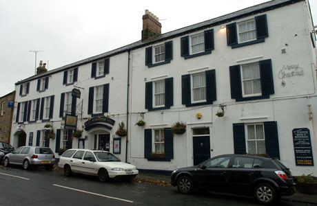
Schooner Hotel

The Schooner Hotel & Bar is a Grade II listed 17th century coaching inn and hotel located at 8 Northumberland Street in the coastal village of Alnmouth...

Alnmouth

Alnmouth () is a coastal village in Northumberland, England, situated 4 miles (6 km) east-south-east of Alnwick. The population of the civil parish at...

St John the Baptist Parish Church, Alnmouth

St John the Baptist Parish Church is an Anglican place of worship situated in the village of Alnmouth in Northumberland, England. It is the parish church...

SS Ina Mactavish

SS Ina Mactavish was a small coaster that was wrecked in 1907 with the loss of two lives. == History == Ina Mactavish was built by Burrell & Son of Glasgow...
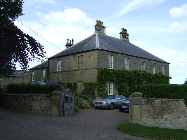
High Buston

High Buston is a small hamlet and former civil parish, now in the parish of Alnmouth, in Northumberland, England, on Northumberland coast situated between...

Lesbury

Lesbury is a small rural village in Northumberland in the north of England. It is built on the main coastal road 3.5 miles (5.6 km) southeast of Alnwick...

Have you been to Alnmouth Bay?

Leave your review of Alnmouth Bay below (or comments, questions and feedback).