Bay of Lochielair
Bay in Aberdeenshire
Scotland
Bay of Lochielair

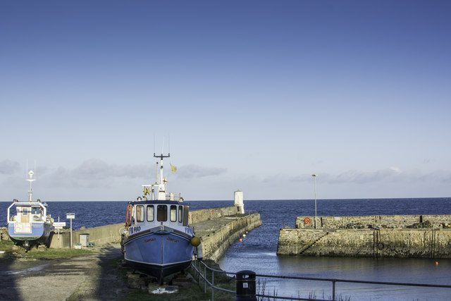
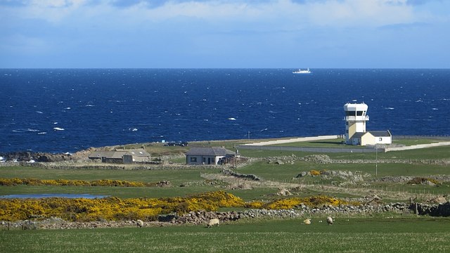
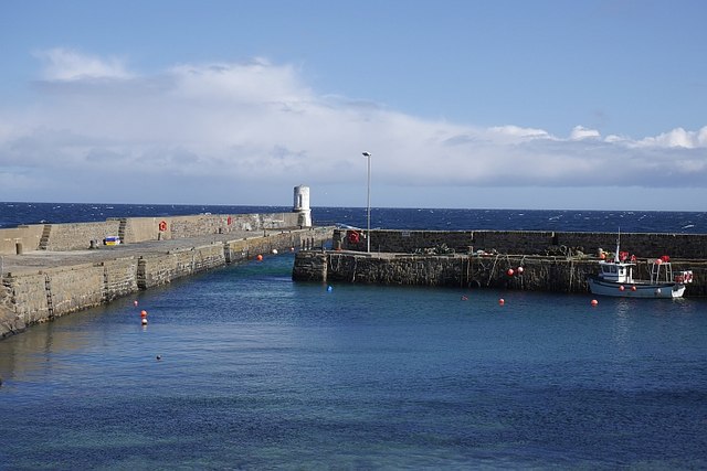
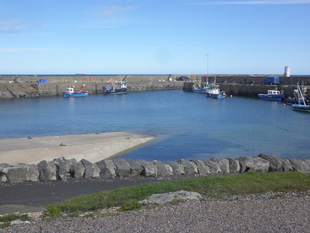
The Bay of Lochielair, located in Aberdeenshire, Scotland, is a picturesque coastal area renowned for its natural beauty and wildlife. Situated on the eastern coast of Scotland, the bay is nestled between the towns of Inverurie and Fraserburgh.
Stretching over an area of approximately 2.5 miles, the Bay of Lochielair offers stunning panoramic views of the North Sea and its rugged coastline. The bay is characterized by its sandy beaches, rocky cliffs, and rolling dunes, attracting visitors and nature enthusiasts from far and wide.
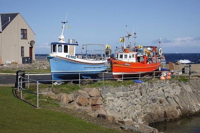
The bay is home to a diverse range of wildlife, making it an ideal spot for birdwatching and nature photography. Various species of seabirds, including gulls, cormorants, and terns, can be spotted nesting along the cliffs and shoreline. Dolphins and seals can also be seen swimming in the bay's waters, providing a delightful experience for visitors.
In addition to its natural beauty, the Bay of Lochielair offers recreational activities for visitors. The sandy beaches are perfect for leisurely walks, picnics, and family outings. The bay also provides opportunities for swimming, surfing, and kayaking, attracting water sports enthusiasts.
The surrounding area of Aberdeenshire offers various amenities, including restaurants, cafes, and accommodations, making it convenient for visitors to explore the bay and its surroundings. Whether it's for a peaceful walk along the seashore or a thrilling adventure on the water, the Bay of Lochielair offers a memorable experience for all who visit.
If you have any feedback on the listing, please let us know in the comments section below.
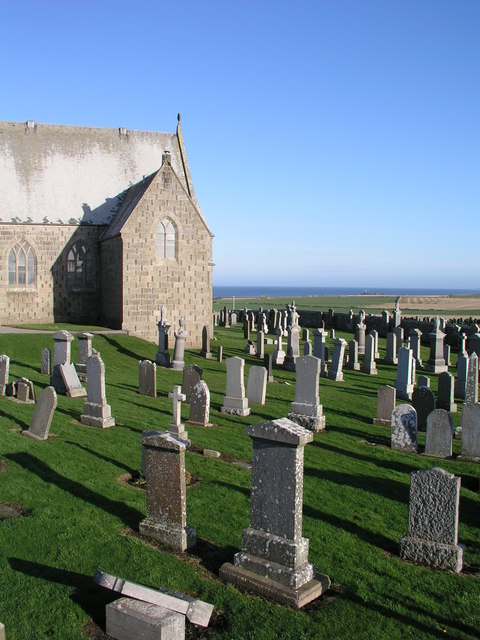
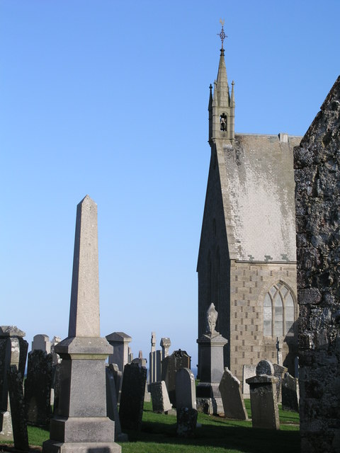
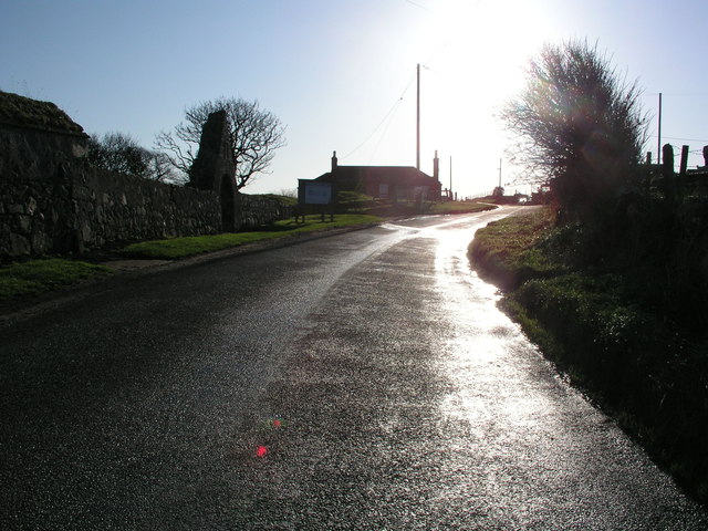
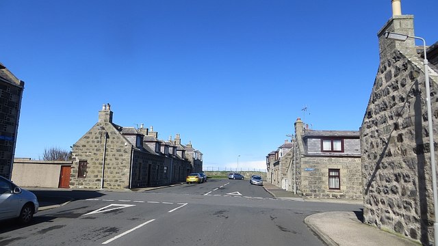
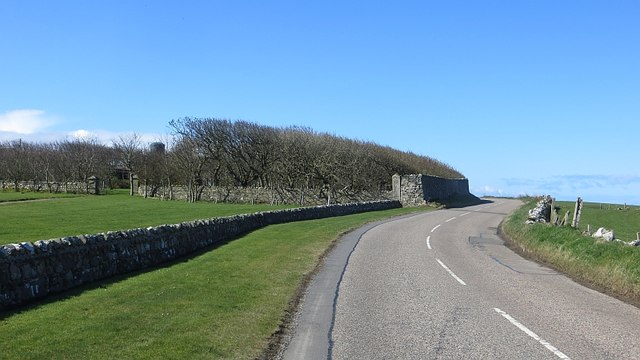
Bay of Lochielair Images
Images are sourced within 2km of 57.696376/-2.1291585 or Grid Reference NJ9267. Thanks to Geograph Open Source API. All images are credited.


Bay of Lochielair is located at Grid Ref: NJ9267 (Lat: 57.696376, Lng: -2.1291585)
Unitary Authority: Aberdeenshire
Police Authority: North East
What 3 Words
///lamenting.crackling.origin. Near Rosehearty, Aberdeenshire
Nearby Locations
Related Wikis

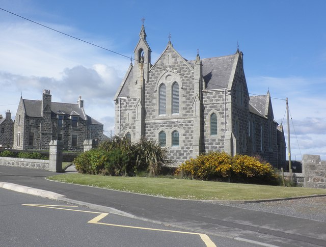
Rosehearty
Rosehearty (Scottish Gaelic: Ros Abhartaich) is a settlement on the Moray Firth coast, four miles west of the town Fraserburgh, in the historical county...
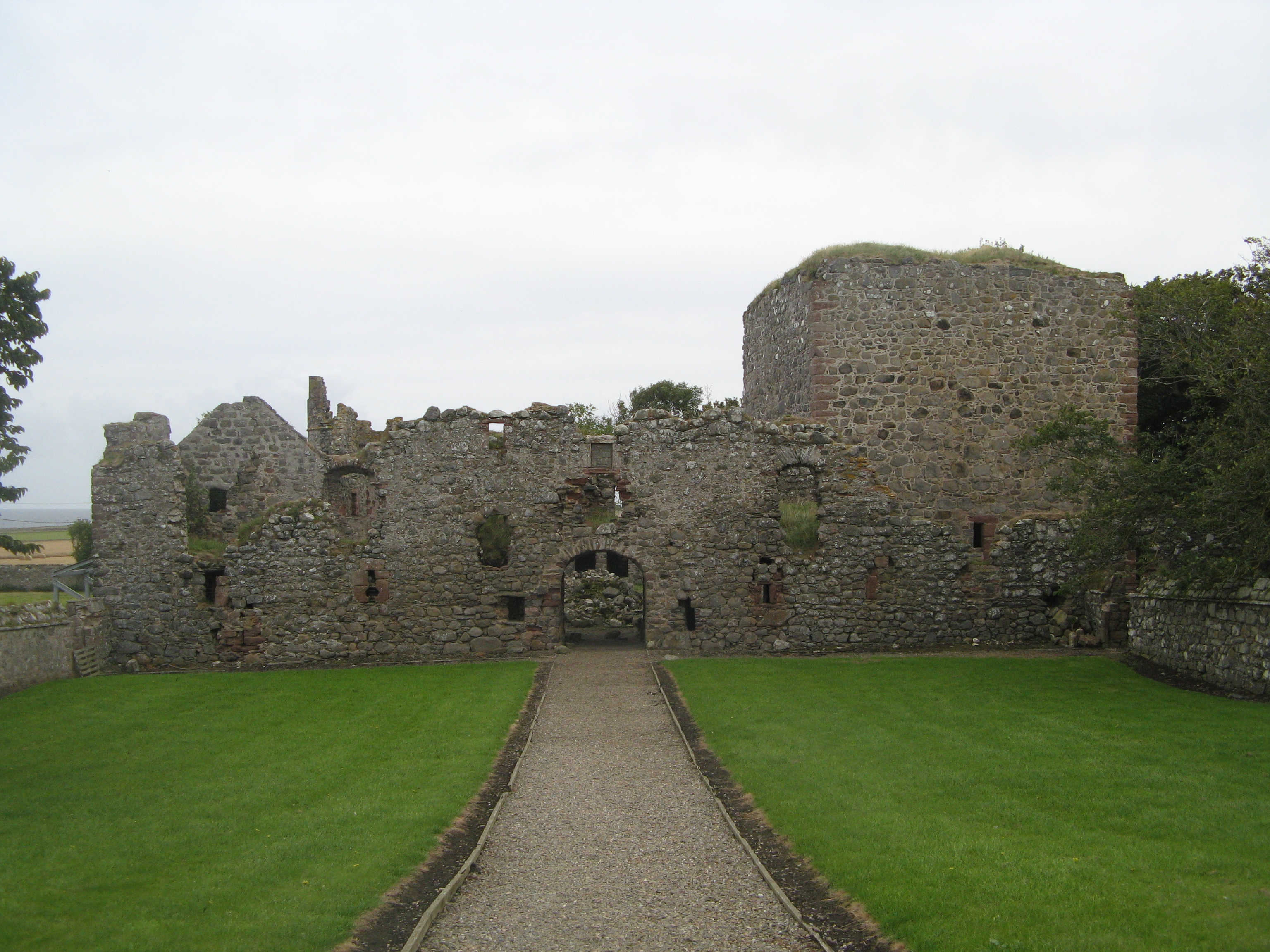
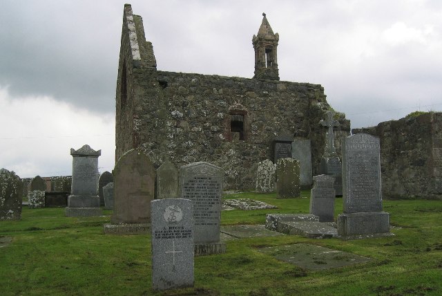
Pitsligo Castle
Pitsligo Castle is a ruined castle half a mile east of Rosehearty, Aberdeenshire, Scotland. Modified in the 1570s by the Forbes of Druminnor, it was described...

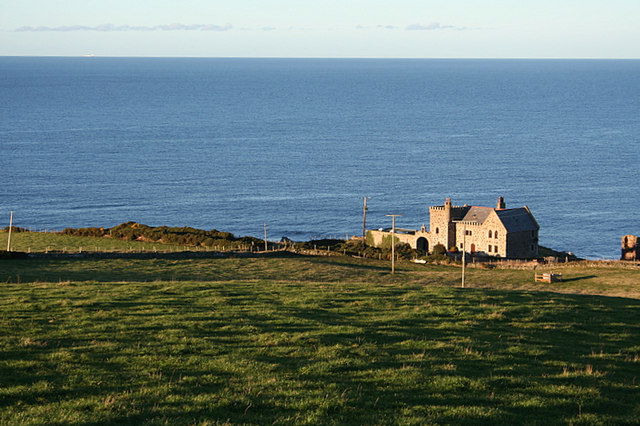
Pittulie Castle
Pittulie Castle is an oblong tower house probably dating from 1596, half a mile from Pitsligo Castle, Rosehearty, Aberdeenshire, Scotland. It is a scheduled...

Pitsligo
Pitsligo was a coastal parish in the historic county of Aberdeenshire, Scotland, containing the fishing villages of Rosehearty, Pittulie and Sandhaven...

Aberdour House (Aberdeenshire)
Aberdour House is Category A listed country house in New Aberdour, Aberdeenshire, Scotland. Dating to around 1740, it was built by John Forbes, of Knappernay...
Dundarg Castle
Dundarg Castle is a ruined castle about 2 kilometres (1.2 mi) north-northeast of New Aberdour, Aberdeenshire, Scotland, built within the ramparts of an...

Sandhaven
Sandhaven is a small fishing village in Aberdeenshire, Scotland, which lies between Rosehearty to the west and Fraserburgh to the east. It is joined to...

Rescue from SS William Hope
In the 1884 rescue from SS William Hope in Aberdour Bay off the north coast of Aberdeenshire in Scotland Jane Whyte rescued fifteen sailors from their...
Nearby Amenities
Located within 500m of 57.696376,-2.1291585Have you been to Bay of Lochielair?
Leave your review of Bay of Lochielair below (or comments, questions and feedback).