Bervie Bay

Bay in Kincardineshire

Scotland

Bervie Bay

Minor road at Dendoldrum Farm Looking south-westward.
Minor road at Dendoldrum Farm Credit: Peter Wood

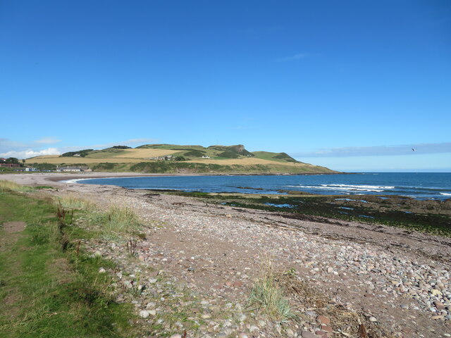
Bervie Bay is a picturesque bay located in the coastal village of Inverbervie, Kincardineshire, Scotland. Situated on the North Sea coast, it is a popular destination for tourists and locals alike. The bay spans approximately 1.5 miles and is surrounded by beautiful cliffs and stunning views.

The bay is known for its sandy beach, which stretches for nearly a mile and provides ample space for visitors to relax, sunbathe, and enjoy beach activities. The sand is soft and golden, making it a perfect spot for children to build sandcastles or for families to go for a leisurely stroll.

Bervie Bay offers a range of outdoor activities such as swimming, kayaking, and paddleboarding. The bay's calm waters and gentle waves make it an ideal location for water sports enthusiasts of all skill levels. It is also a popular spot for fishing, with anglers often seen casting their lines from the shore or from small boats.

The bay is surrounded by rugged cliffs, which provide a dramatic backdrop to the beach. These cliffs are home to various wildlife species, including seabirds such as gulls, cormorants, and puffins. Birdwatchers can observe these fascinating creatures in their natural habitat.

Bervie Bay is easily accessible, with ample parking facilities nearby and a short walk from the village of Inverbervie. The bay offers stunning panoramic views of the North Sea, making it a must-visit destination for nature lovers and those seeking a tranquil coastal experience.

If you have any feedback on the listing, please let us know in the comments section below.
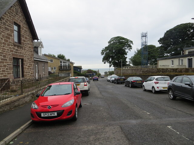
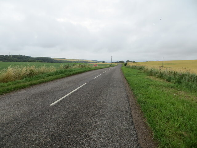
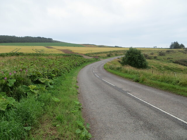
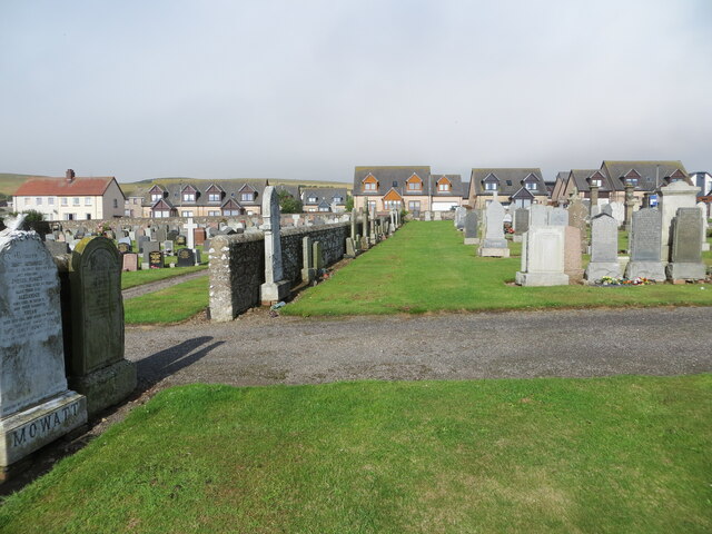
Bervie Bay Images

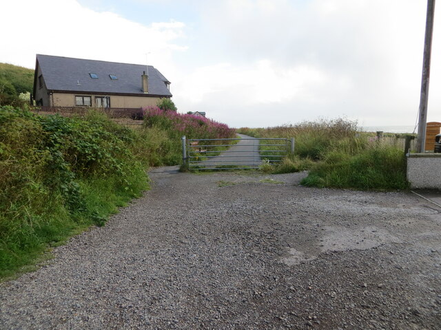
Images are sourced within 2km of 56.842484/-2.2698231 or Grid Reference NO8372. Thanks to Geograph Open Source API. All images are credited.

Minor road at Dendoldrum Farm Looking south-westward.
Minor road at Dendoldrum Farm
Looking south-westward.
Church Street, Inverbervie Looking north-westward from beside Bervie School.
Church Street, Inverbervie
Looking north-westward from beside Bervie School.
Kirk Burn, Inverbervie Looking south-eastward from near to the Fire Station.
Kirk Burn, Inverbervie
Looking south-eastward from near to the Fire Station.
Road (B967) near to Pitcarry Looking north-westward.
Road (B967) near to Pitcarry
Looking north-westward.
Road (B967) approaching the A92 and Inverbervie Looking south-eastward.
Road (B967) approaching the A92 and Inverbervie
Looking south-eastward.
A part of Gourdon Cemetery Looking westward towards private housing on Brae Road.
A part of Gourdon Cemetery
Looking westward towards private housing on Brae Road.
Gourdon Harbour Looking north-westward.
Gourdon Harbour
Looking north-westward.
Recreational Trail converted from a disused railway line at Gourdon Looking north-eastward.
Recreational Trail converted from a disused railway line at Gourdon
Looking north-eastward.
Recreational Trail converted from a disused railway line beside Horse Crook Bay, Gourdon Looking north-eastward.
Recreational Trail converted from a disused railway line beside Horse Crook Bay, Gourdon
Looking north-eastward.
Flowering boat Inverbervie An old boat finds a new use on the green above the beach at Inverbervie.
Flowering boat Inverbervie
An old boat finds a new use on the green above the beach at Inverbervie.
Beach at Inverbervie Pebble beach with rocky reefs along the shoreline.
Beach at Inverbervie
Pebble beach with rocky reefs along the shoreline.
Coarse conglomerate in the cliffs above Darn Bay Some of the rounded stones are getting on for a metre across - compare the fence posts above. The BGS has 'Rob's Cove Conglomerate Member - Conglomerate'
Coarse conglomerate in the cliffs above Darn Bay
Some of the rounded stones are getting on for a metre across - compare the fence posts above. The BGS has 'Rob's Cove Conglomerate Member - Conglomerate'
Ordnance Survey Flush Bracket S7021 This bracket can be found on the wall of Bervie School, Inverbervie.
The recorded details give a height of 28.805 metres above sea level.
For more detail see : <span class="nowrap"><a title="https://www.bench-marks.org.uk/bm488" rel="nofollow ugc noopener" href="https://www.bench-marks.org.uk/bm488">Link</a><img style="margin-left:2px;" alt="External link" title="External link - shift click to open in new window" src="https://s1.geograph.org.uk/img/external.png" width="10" height="10"/></span>
Ordnance Survey Flush Bracket S7021
This bracket can be found on the wall of Bervie School, Inverbervie. The recorded details give a height of 28.805 metres above sea level. For more detail see : LinkExternal link
Ordnance Survey Cut Mark with Bolt This mark can be found on the wall of Bervie Church, Inverbervie.
The recorded details give a height of 28.973 metres above sea level.
For more detail see : <span class="nowrap"><a title="https://www.bench-marks.org.uk/bm126448" rel="nofollow ugc noopener" href="https://www.bench-marks.org.uk/bm126448">Link</a><img style="margin-left:2px;" alt="External link" title="External link - shift click to open in new window" src="https://s1.geograph.org.uk/img/external.png" width="10" height="10"/></span>
Ordnance Survey Cut Mark with Bolt
This mark can be found on the wall of Bervie Church, Inverbervie. The recorded details give a height of 28.973 metres above sea level. For more detail see : LinkExternal link
Ordnance Survey Cut Mark This mark can be found on the roadside boundary wall of Gourdon Cemetery.
The recorded details give a height of 40.4409 metres above sea level.
For more detail see : <span class="nowrap"><a title="https://www.bench-marks.org.uk/bm162450" rel="nofollow ugc noopener" href="https://www.bench-marks.org.uk/bm162450">Link</a><img style="margin-left:2px;" alt="External link" title="External link - shift click to open in new window" src="https://s1.geograph.org.uk/img/external.png" width="10" height="10"/></span>
Ordnance Survey Cut Mark
This mark can be found on the roadside boundary wall of Gourdon Cemetery. The recorded details give a height of 40.4409 metres above sea level. For more detail see : LinkExternal link
Gourdon Harbour and village from a layby on the A92.
Gourdon
Harbour and village from a layby on the A92.
Coast south of Inverbervie Rocky coastline between Inverbervie and Gourdon, with Bervie Brow in the distance.
Coast south of Inverbervie
Rocky coastline between Inverbervie and Gourdon, with Bervie Brow in the distance.
Seaview Terrace, Gourdon Seaview Terrace at the east end of Gourdon.
Seaview Terrace, Gourdon
Seaview Terrace at the east end of Gourdon.
Show me another place!

Bervie Bay is located at Grid Ref: NO8372 (Lat: 56.842484, Lng: -2.2698231)

Unitary Authority: Aberdeenshire

Police Authority: North East

What 3 Words

///transmits.shovels.withdrew. Near Inverbervie, Aberdeenshire

Related Wikis

Bervie Water

Bervie Water (Scottish Gaelic: Uisge Bhiorbhaigh) is a river in Aberdeenshire, Scotland which rises in the Drumtochty Forest and flows across The Mearns...

Inverbervie railway station

Bervie railway station served the town of Inverbervie, Aberdeenshire, Scotland from 1865 to 1966 on the Montrose and Bervie Railway. == History == The...

Inverbervie Town House

Inverbervie Town House is a municipal structure in Church Street in Inverbervie, Aberdeenshire, Scotland. The structure, which is primarily used as a public...

Inverbervie

Inverbervie (from Scottish Gaelic: Inbhir Biorbhaidh or Biorbhaigh, "mouth of the River Bervie") is a small town on the north-east coast of Scotland, south...

Nearby Amenities

Located within 500m of 56.842484,-2.2698231
Source: PGS
Lat/Long: 56.8398717/-2.2753691
Source: PGS
Lat/Long: 56.8400042/-2.2754102
Source: PGS
Lat/Long: 56.8403749/-2.2754828
Source: PGS
Lat/Long: 56.8408481/-2.2754932
Source: PGS
Lat/Long: 56.8409054/-2.2754381
Source: PGS
Lat/Long: 56.8422136/-2.2746259
Source: PGS
Lat/Long: 56.8426182/-2.2740027
Source: PGS
Lat/Long: 56.842785/-2.2737051
Source: PGS
Lat/Long: 56.8432202/-2.272663
Source: PGS
Lat/Long: 56.8434712/-2.271863
Source: PGS
Lat/Long: 56.8436094/-2.2711766
Source: PGS
Lat/Long: 56.8436697/-2.2710726
Source: PGS
Lat/Long: 56.843346/-2.2698487
Source: PGS
Lat/Long: 56.8434402/-2.2690213
Source: PGS
Lat/Long: 56.8435988/-2.2688913
Source: PGS
Lat/Long: 56.8436979/-2.2684222
Source: PGS
Lat/Long: 56.8437802/-2.2683322
Source: PGS
Lat/Long: 56.8437769/-2.2680571
Source: PGS
Lat/Long: 56.8438909/-2.2674825
Source: PGS
Lat/Long: 56.8439938/-2.2668277
Source: PGS
Lat/Long: 56.8437365/-2.2663884
Source: PGS
Lat/Long: 56.8438997/-2.2647448
Source: PGS
Lat/Long: 56.8440715/-2.264509
Source: PGS
Lat/Long: 56.8445459/-2.2645022
Source: PGS
Lat/Long: 56.8445311/-2.2632195
Source: PGS
Lat/Long: 56.844487/-2.2627309
Barrier: height_restrictor
Lat/Long: 56.8434314/-2.2753335
Source: PGS
Lat/Long: 56.8438595/-2.2721659
Source: PGS
Lat/Long: 56.8440618/-2.2719572
Bervie Bay
Natural: bay
Lat/Long: 56.8418138/-2.2722602
Noexit: yes
Lat/Long: 56.8425137/-2.2748312
Addr City: Montrose
Addr Housenumber: 30
Addr Postcode: DD10 0RS
Addr Street: Kirkburn
Addr Suburb: Inverbervie
Door: yes
Entrance: home
Lat/Long: 56.8429698/-2.276366
Addr City: Montrose
Addr Housenumber: 31
Addr Postcode: DD10 0RS
Addr Street: Kirkburn
Addr Suburb: Inverbervie
Door: yes
Entrance: home
Lat/Long: 56.8429279/-2.2763718
Addr City: Montrose
Addr Housenumber: 32
Addr Postcode: DD10 0RS
Addr Street: Kirkburn
Addr Suburb: Inverbervie
Door: yes
Entrance: home
Lat/Long: 56.8428776/-2.2761163
Addr City: Montrose
Addr Housenumber: 33
Addr Postcode: DD10 0RS
Addr Street: Kirkburn
Addr Suburb: Inverbervie
Door: yes
Entrance: home
Lat/Long: 56.8429117/-2.2760703
Addr City: Montrose
Addr Housenumber: 27
Addr Postcode: DD10 0RS
Addr Street: Kirkburn
Addr Suburb: Inverbervie
Door: yes
Entrance: home
Lat/Long: 56.8430042/-2.2767606
Addr City: Montrose
Addr Housenumber: 28
Addr Postcode: DD10 0RS
Addr Street: Kirkburn
Addr Suburb: Inverbervie
Door: yes
Entrance: home
Lat/Long: 56.842954/-2.2765051
Addr City: Montrose
Addr Housenumber: 26
Addr Postcode: DD10 0RS
Addr Street: Kirkburn
Addr Suburb: Inverbervie
Door: yes
Entrance: home
Lat/Long: 56.8430462/-2.2767548
Addr City: Montrose
Addr Housenumber: 29
Addr Postcode: DD10 0RS
Addr Street: Kirkburn
Addr Suburb: Inverbervie
Door: yes
Entrance: home
Lat/Long: 56.842988/-2.2764591
Power: pole
Lat/Long: 56.8465555/-2.2709677
Power: pole
Lat/Long: 56.846044/-2.2701022
Power: pole
Lat/Long: 56.8456771/-2.2695265
Barrier: swing_gate
Lat/Long: 56.8434085/-2.2750829
Inverbervie
Historic Railway: station
Railway: site
Wikidata: Q109448206
Wikipedia: en:Inverbervie railway station
Lat/Long: 56.8421443/-2.27642
The data included in this document is from www.openstreetmap.org. The data is made available under ODbL.

Have you been to Bervie Bay?

Leave your review of Bervie Bay below (or comments, questions and feedback).