Boyndie Bay
Bay in Banffshire
Scotland
Boyndie Bay

Boyndie Bay is a picturesque and secluded bay located in Banffshire, Scotland. Situated along the northeastern coast of the country, it offers breathtaking views of the North Sea and a tranquil environment for visitors and locals alike.
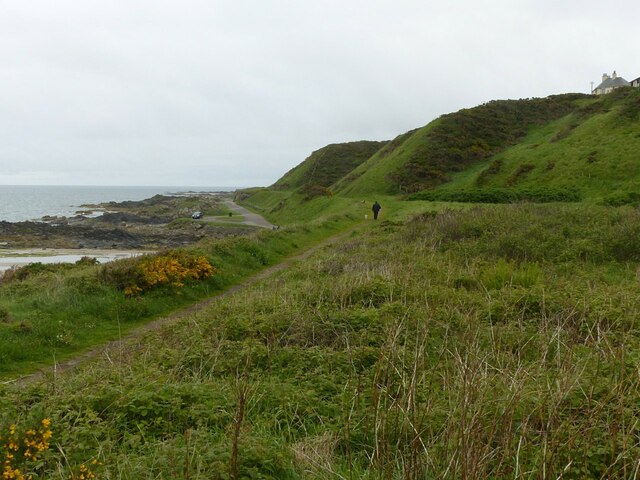
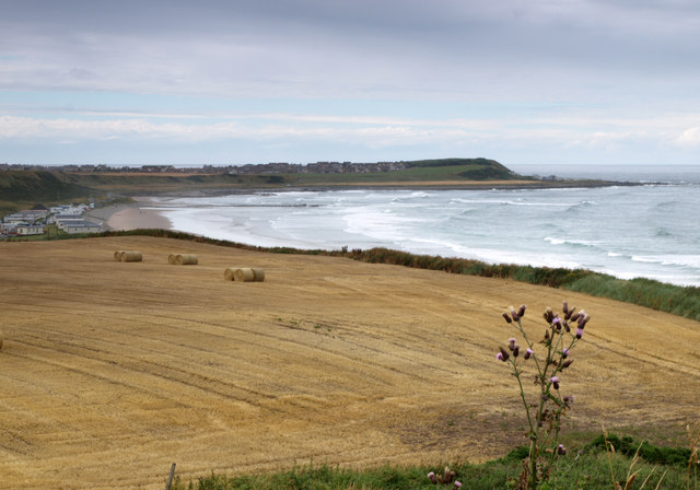
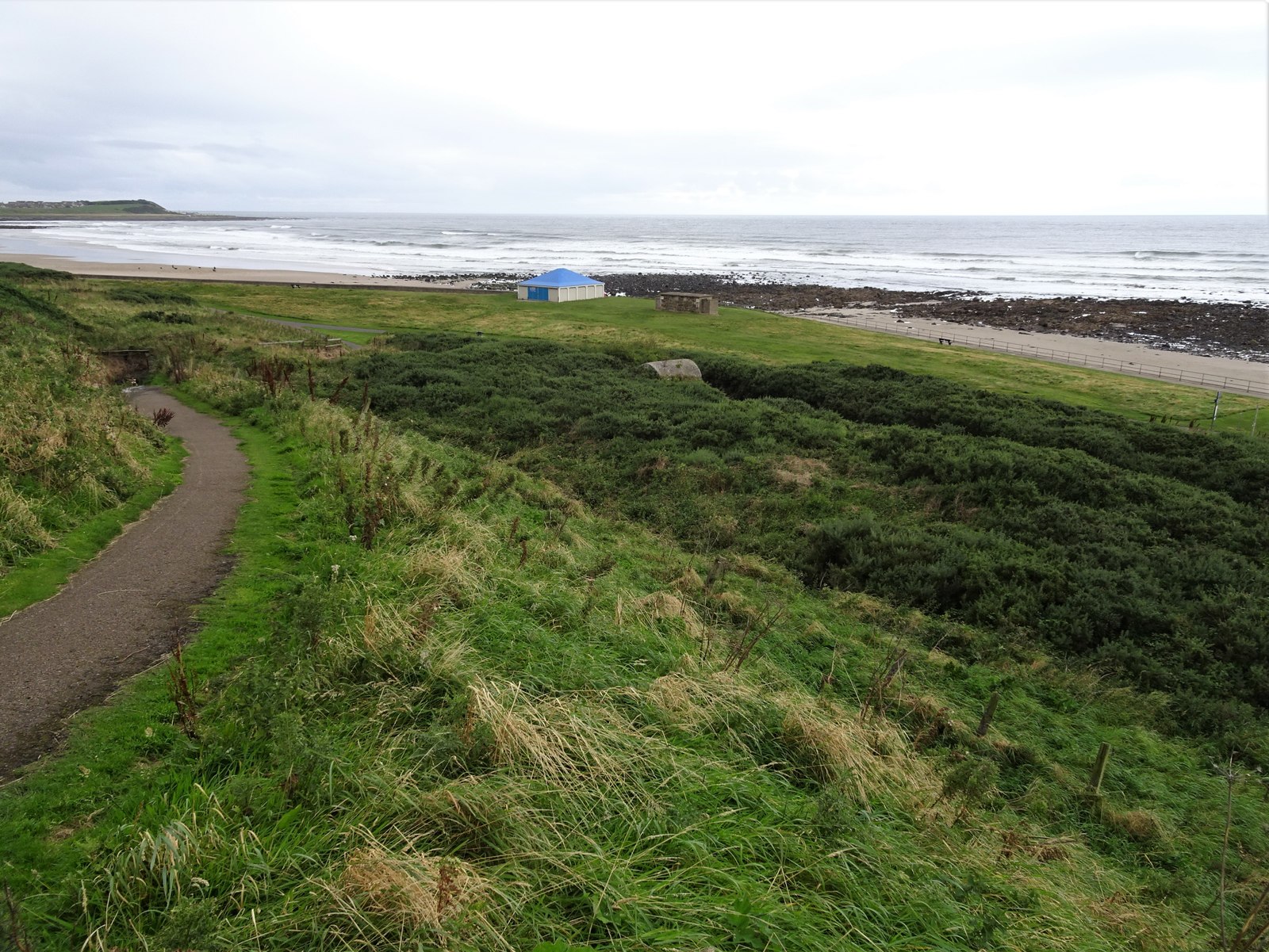
The bay is known for its extensive sandy beach, which stretches for approximately 2 miles. With its golden sand and clear blue waters, it is an idyllic spot for beachgoers and nature enthusiasts. During low tide, the bay reveals a wide expanse of rock pools, providing an opportunity for exploration and the discovery of various marine life.
The surrounding landscape is characterized by rolling hills and dramatic cliffs, adding to the bay's natural beauty. It is not uncommon to spot seabirds, such as gannets and fulmars, soaring overhead, making it a popular destination for birdwatchers.
Boyndie Bay also offers a range of recreational activities. Windsurfing and kitesurfing are particularly popular due to the bay's favorable wind conditions. The bay's calm waters also make it a great spot for swimming and paddleboarding.
Facilities at Boyndie Bay include a car park, public toilets, and a picnic area, making it a family-friendly destination. Additionally, there are several walking trails in the area, allowing visitors to explore the bay and its surroundings on foot.
Overall, Boyndie Bay is a hidden gem along Scotland's northeastern coast, offering a tranquil and picturesque setting for beach lovers, nature enthusiasts, and outdoor adventurers.
If you have any feedback on the listing, please let us know in the comments section below.
Boyndie Bay Images
Images are sourced within 2km of 57.675535/-2.5508521 or Grid Reference NJ6765. Thanks to Geograph Open Source API. All images are credited.


Boyndie Bay is located at Grid Ref: NJ6765 (Lat: 57.675535, Lng: -2.5508521)
Unitary Authority: Aberdeenshire
Police Authority: North East
What 3 Words
///variances.motoring.organ. Near Banff, Aberdeenshire
Nearby Locations
Related Wikis

Bridgefoot Halt railway station
Bridgefoot Halt railway station was opened in 1914. The halt was in the settlement of Bridgefoot close to the town of Banff. The line from Tillynaught...
Golf Club House Halt railway station
Golf Club House Halt railway station, also known as Banff Golf House Halt railway station was opened in 1914. The halt was located close to the town of...

Banff distillery
Banff distillery was a producer of single malt Scotch whisky that operated between 1863 and 1983. == History == The first distillery to use the name "Banff...

Banff railway station (Scotland)
Banff railway station was the railway station serving the town of Banff, Banffshire. == History == The line from Tillynaught opened in 1859 and a temporary...
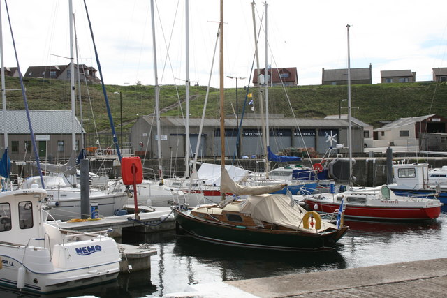
Whitehills
Whitehills is a small fishing village in Banffshire, Scotland, that lies three miles (five kilometres) west of Banff on the Moray Firth. It forms part...
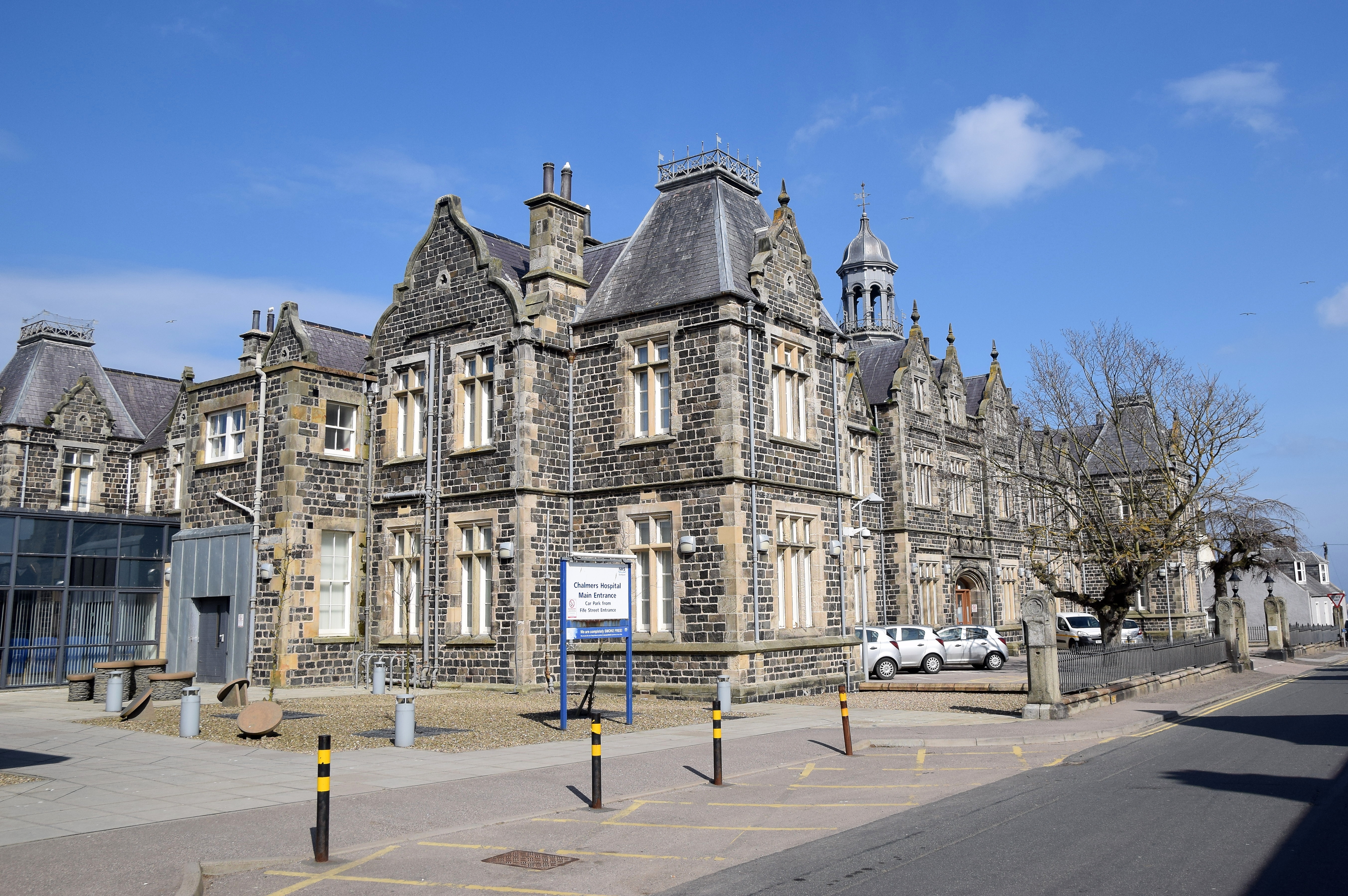
Chalmers Hospital, Banff
Chalmers Hospital is an NHS general hospital located in Banff, Scotland, a small coastal town around 46.5 miles north west of Aberdeen. The hospital is...
Banff Academy
Banff Academy is a S1–S6 secondary school in Banff, Aberdeenshire, Scotland. It serves the towns of Banff, Macduff, Whitehills, Portsoy, Aberchirder, Gardenstown...
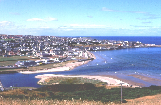
Banff, Aberdeenshire
Banff (Scottish Gaelic: Banbh) is a town in the Banff and Buchan area of Aberdeenshire, Scotland. It is situated on Banff Bay and faces the town of Macduff...
Related Videos

Walking Scotland's Coast - Banff to Whitehills
Another short video as i continue to walk Scotlands Coast one section at a time. This one takes us from Banff to Whitehills on the ...

Banff Scotland Walking Tour 4K 60fps, Jan 2023
Banff Scotland Walking Tour 4K 60fps, Jan 2023. Banff is a town in the Banff and Buchan area of Aberdeenshire, Scotland.

met a guy walking from John O'Groats to Land's End
i met a guy called adam today outside whitehills, walking from John O'Groats to Land's End he will be going via citys to get to his ...

Two Loons WALKING | from Banff to Whitehills | Scotland
Join us for an out-of-season walk around the coast of Scotland. From the attractive fishing village of BANFF to WHITEHILLS.
Have you been to Boyndie Bay?
Leave your review of Boyndie Bay below (or comments, questions and feedback).