North Bay
Bay in Orkney
Scotland
North Bay
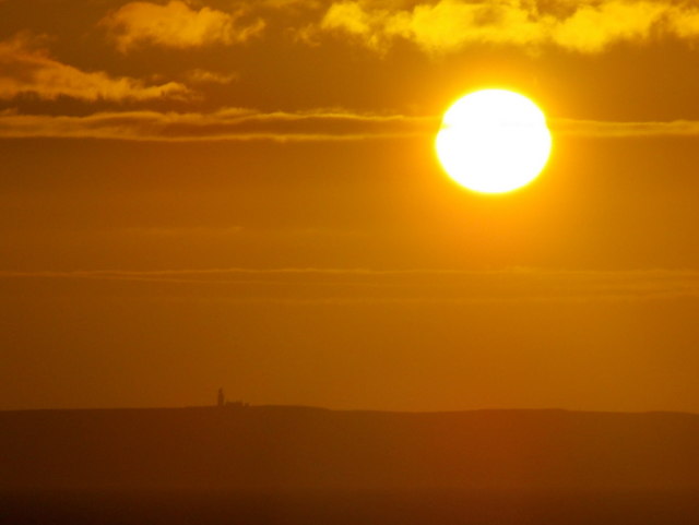
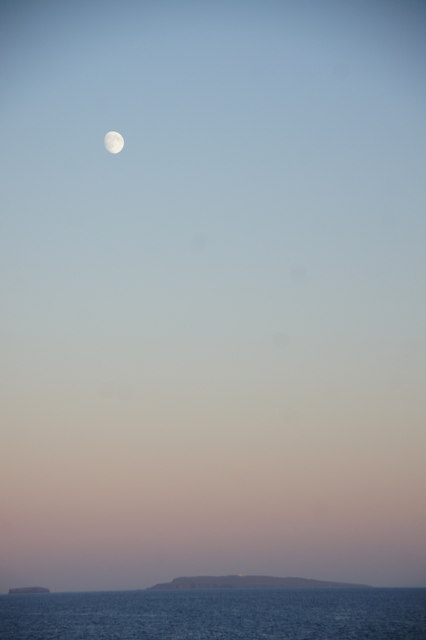
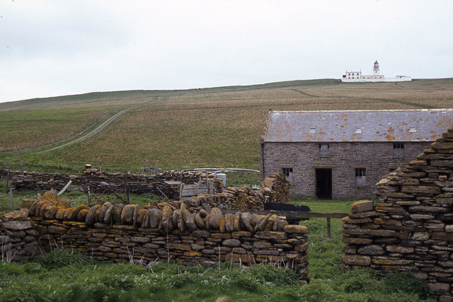
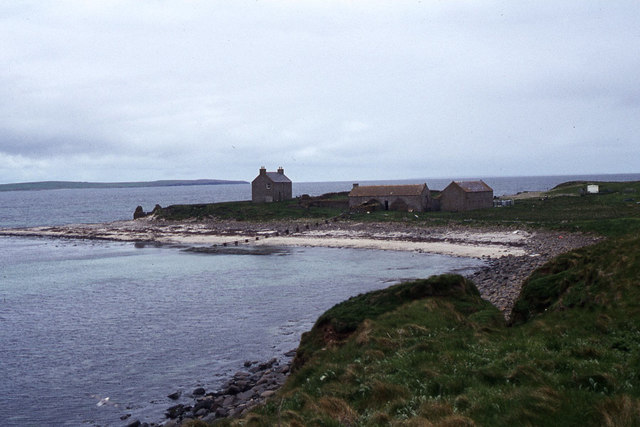
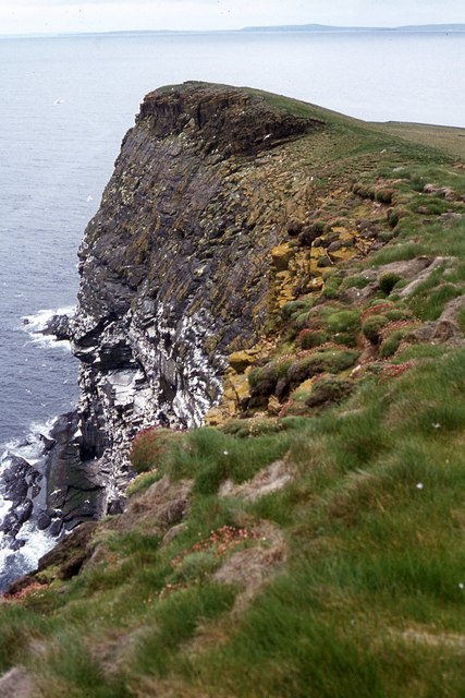
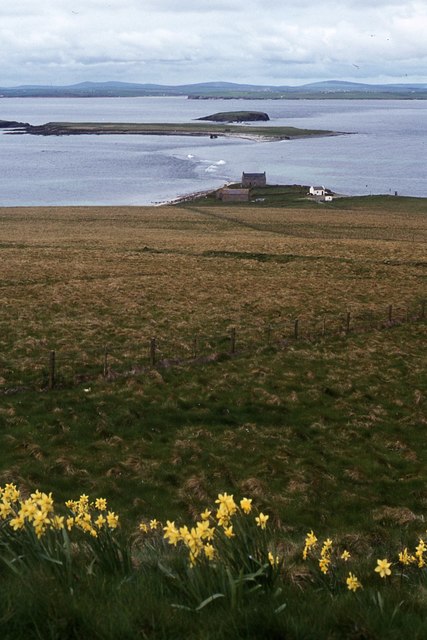
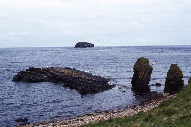
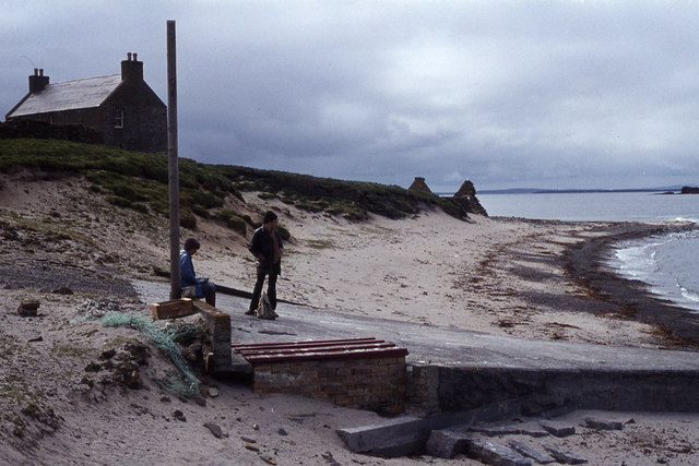
North Bay, Orkney is a picturesque and idyllic coastal area located on the northern coast of the Orkney Islands in Scotland. Situated on the mainland of Orkney, this bay offers stunning views of the North Sea and is surrounded by rugged cliffs and rolling green hills.
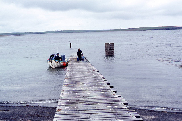
North Bay is known for its pristine sandy beaches, which stretch for miles and provide a perfect spot for sunbathing, picnicking, and leisurely walks along the shore. The bay is also renowned for its crystal-clear waters, attracting visitors interested in swimming, snorkeling, and diving, where they can explore the diverse marine life that inhabits the area.
The bay is home to a variety of wildlife, including seals, dolphins, and a wide range of seabirds, making it a haven for nature enthusiasts and birdwatchers. It is not uncommon to spot puffins, guillemots, and fulmars nesting on the cliffs or in the nearby RSPB nature reserve.
Aside from its natural beauty, North Bay offers visitors a range of activities and amenities. There are several campsites and caravan parks nearby, providing accommodation options for those looking to immerse themselves in the tranquility of the bay. Additionally, there are cafes, restaurants, and shops in the local area, ensuring that visitors have access to the necessary amenities and services.
Overall, North Bay, Orkney is a hidden gem that offers a unique blend of natural beauty, wildlife, and recreational opportunities, making it an ideal destination for individuals seeking a peaceful and scenic coastal retreat.
If you have any feedback on the listing, please let us know in the comments section below.
North Bay Images
Images are sourced within 2km of 58.903829/-2.6906145 or Grid Reference HY6002. Thanks to Geograph Open Source API. All images are credited.
North Bay is located at Grid Ref: HY6002 (Lat: 58.903829, Lng: -2.6906145)
Unitary Authority: Orkney Islands
Police Authority: Highlands and Islands
What 3 Words
///recording.tape.crusted. Near Deerness, Orkney Islands
Nearby Locations
Related Wikis

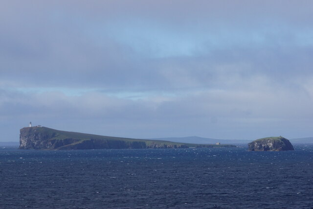
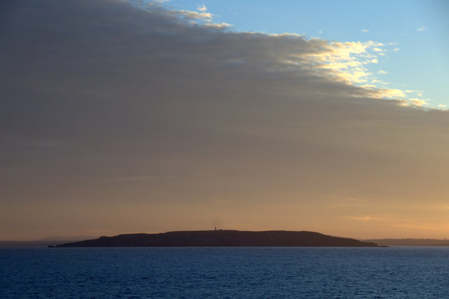
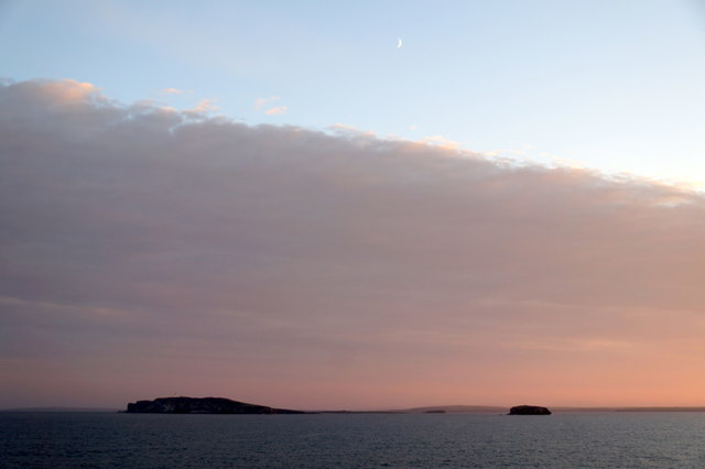
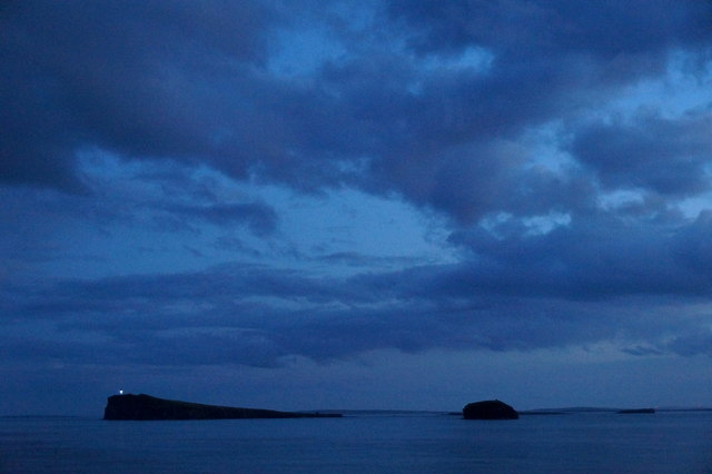
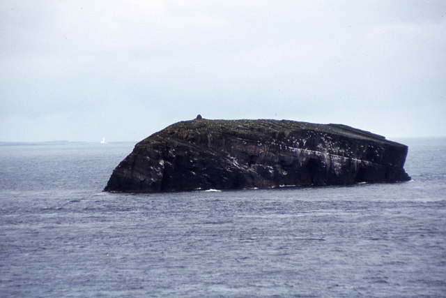
Corn Holm
Corn Holm is a small tidal island in Orkney, near Copinsay to the west, off the north-eastern coast of Scotland. There was once a small chapel there, and...
Black Holm
Black Holm is a small tidal island in the Orkney Islands, near Copinsay to the west of Corn Holm off the north-eastern coast of Scotland. == Geography... ==

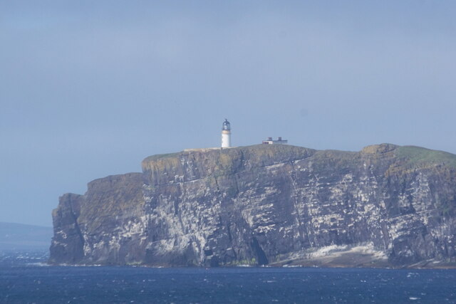
Copinsay
Copinsay (Old Norse: Kolbeinsey) is one of the Orkney Islands in Scotland, lying off the east coast of the Orkney Mainland. The smaller companion island...

Horse of Copinsay
The Horse of Copinsay, also known as the Horse, is a rectangular uninhabited sea stack to the north east of Copinsay in the Orkney Islands, Scotland....

Point of Ayre, Orkney
There are also two similarly named points in the British Isles: Point of Ayre, Isle of Man and Point of Ayr, Wales.Point of Ayre is a headland in the parish...

The Gloup
The Gloup () is a collapsed sea cave in the Mull Head Nature Reserve in the islands of Orkney, Scotland. The name derives from the Old Norse "gluppa",...

Deerness
Deerness (, locally , Old Norse: Dyrnes) is a quoad sacra parish (i.e. one created and functioning for ecclesiastical purposes only) and peninsula in Mainland...

St Peter's Pool, Orkney
St Peter's Pool is a bay in the East Mainland of Orkney, Scotland. This bay was the site of significant coastal defences during World War II, when a German...
Nearby Amenities
Located within 500m of 58.903829,-2.6906145Have you been to North Bay?
Leave your review of North Bay below (or comments, questions and feedback).