Crabs' Bay
Bay in Gloucestershire
England
Crabs' Bay

Crabs' Bay is a picturesque coastal area located in Gloucestershire, England. Situated on the western edge of the county, it is renowned for its stunning natural beauty and idyllic charm. The bay is nestled between rugged cliffs and offers breathtaking views of the Bristol Channel.
The bay's name is derived from the abundance of crabs that inhabit its shores, making it a popular destination for seafood lovers and fishing enthusiasts. The local community is deeply rooted in maritime traditions, with many families relying on fishing as their primary livelihood.
Crabs' Bay boasts a long stretch of sandy beach, making it an ideal spot for sunbathing, picnicking, and beachcombing. The crystal-clear waters are perfect for swimming and water sports, attracting visitors of all ages. The bay is also a haven for wildlife, with a variety of bird species and marine life inhabiting the area.
For those interested in exploring the area further, there are several walking trails that offer breathtaking views of the bay and its surrounding cliffs. Additionally, the nearby coastal town of Gloucester offers a range of amenities, including restaurants, cafes, and shops.
Crabs' Bay is a hidden gem in Gloucestershire, offering visitors a tranquil and scenic escape from the hustle and bustle of daily life. It is a place where nature thrives, and the beauty of the sea meets the charm of a traditional English coastal community.
If you have any feedback on the listing, please let us know in the comments section below.
Crabs' Bay Images
Images are sourced within 2km of 51.575502/-2.696651 or Grid Reference ST5186. Thanks to Geograph Open Source API. All images are credited.


Crabs' Bay is located at Grid Ref: ST5186 (Lat: 51.575502, Lng: -2.696651)
Unitary Authority: South Gloucestershire
Police Authority: Avon and Somerset
What 3 Words
///stormed.whoever.zinc. Near Severn Beach, Gloucestershire
Nearby Locations
Related Wikis

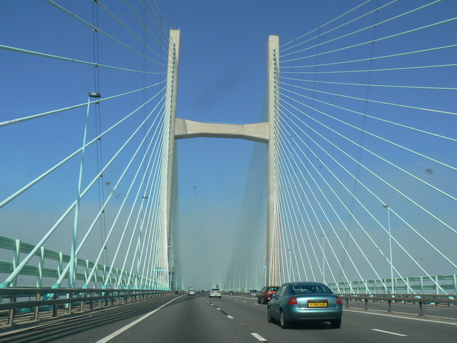
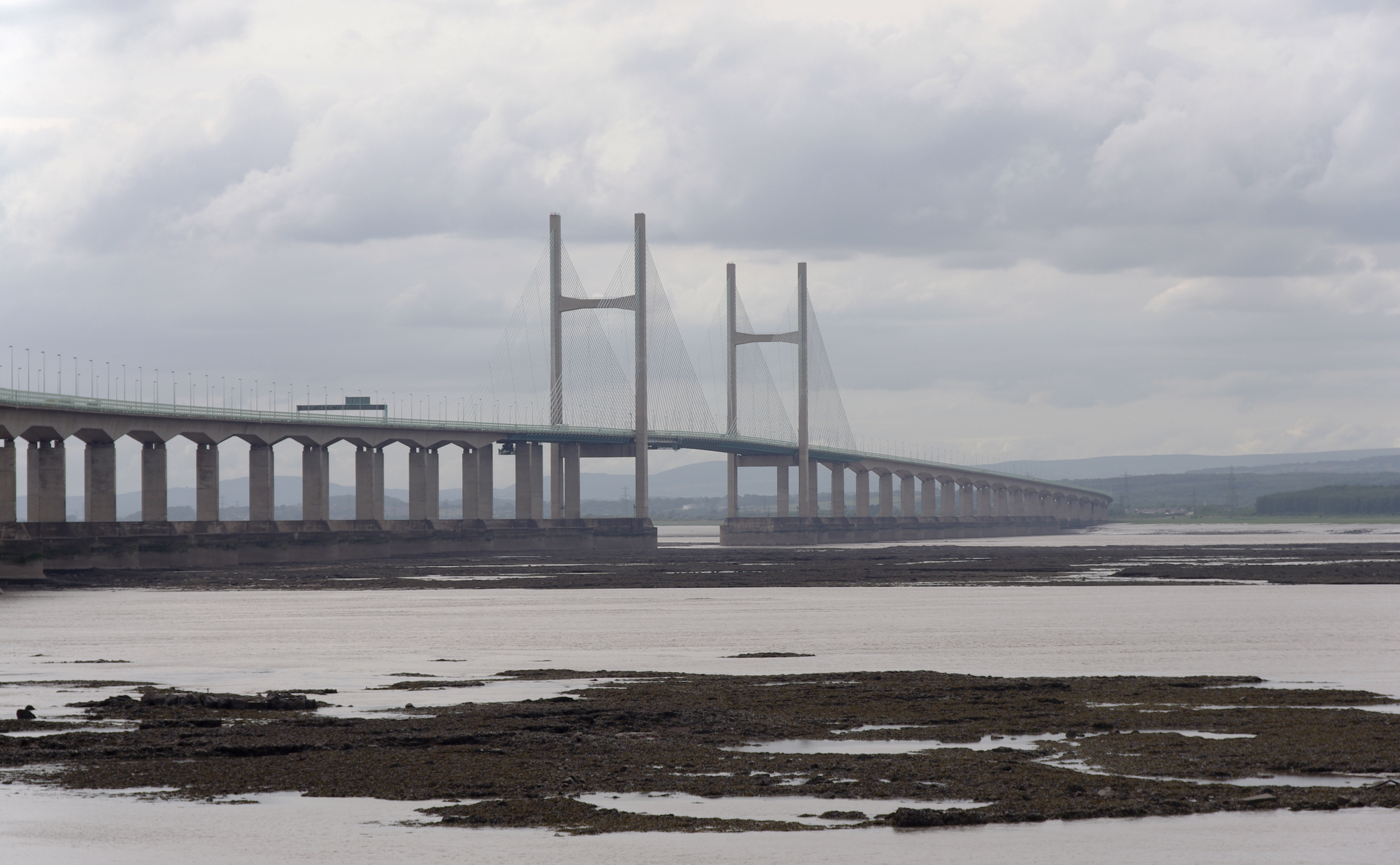
Second Severn Crossing
The Second Severn Crossing (Welsh: Ail Groesfan Hafren), officially named the Prince of Wales Bridge (Welsh: Pont Tywysog Cymru) since July 2018, is the...
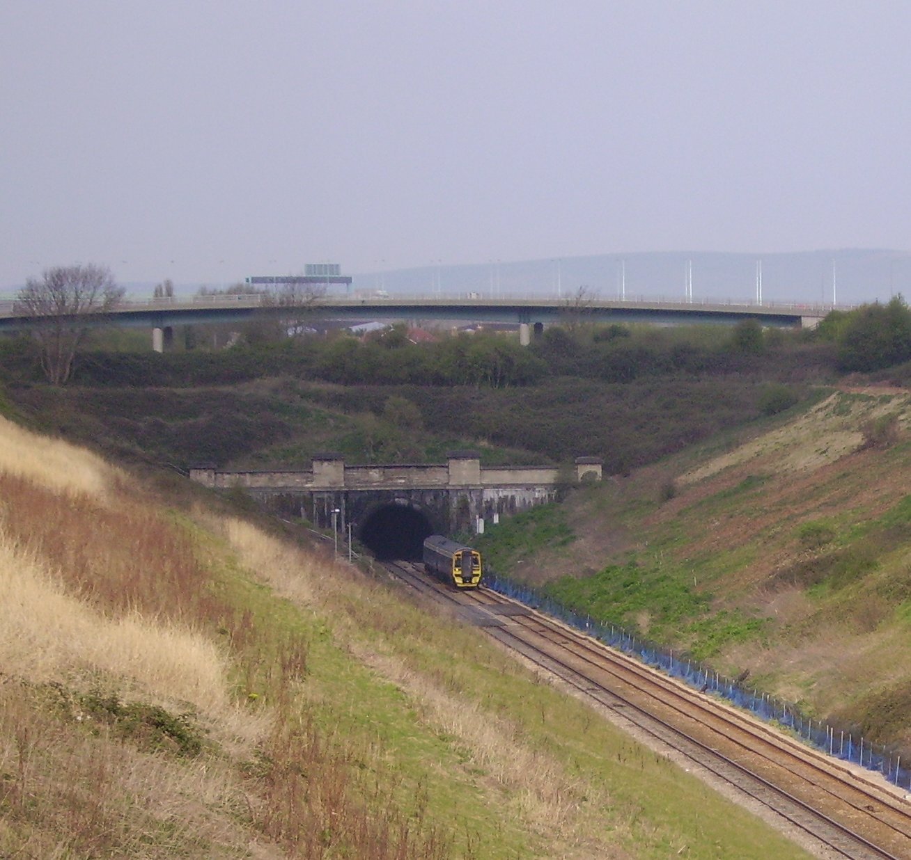
Severn Tunnel
The Severn Tunnel (Welsh: Twnnel Hafren) is a railway tunnel in the United Kingdom, linking South Gloucestershire in the west of England to Monmouthshire...
English Stones
The English Stones are a rocky outcrop in the Severn Estuary between Caldicot, Monmouthshire, and Severn Beach, South Gloucestershire. Because the area...
Sudbrook, Monmouthshire
Sudbrook is a village in Monmouthshire, south east Wales. It is located 4 miles south west of Chepstow and 1 mile east of Caldicot. It lies close to the...
Nearby Amenities
Located within 500m of 51.575502,-2.696651Have you been to Crabs' Bay?
Leave your review of Crabs' Bay below (or comments, questions and feedback).