Bay of Cubbigeo

Bay in Orkney

Scotland

Bay of Cubbigeo

Puffins this Way This unofficial sign indicates the way to the Castle of Burrian, reputed to be one of the best places to see Puffins.
Puffins this Way Credit: Anne Burgess

The Bay of Cubbigeo, also known as Cubbie Roo's Bay, is a picturesque inlet located on the west coast of the Orkney mainland in Scotland. It is situated in the parish of Evie and Rendall, approximately 10 miles northwest of Kirkwall, the main town of the archipelago.

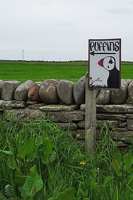
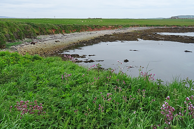
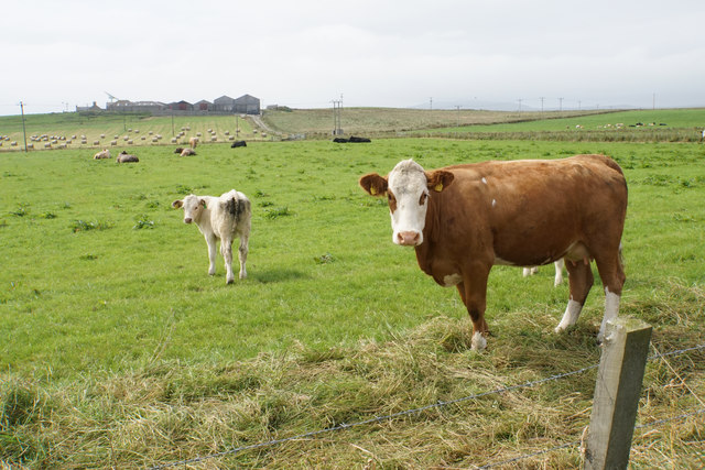
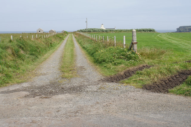
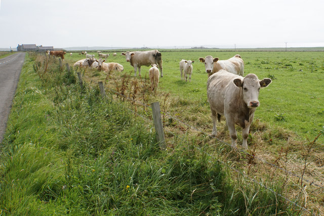
The bay is characterized by its stunning natural beauty, with rugged cliffs, sandy beaches, and crystal-clear turquoise waters. It offers breathtaking panoramic views of the surrounding landscape, including the nearby islands of Gairsay and Rousay. The bay is also home to an abundance of wildlife, with seals often seen basking on the rocks and a variety of bird species nesting in the cliffs.

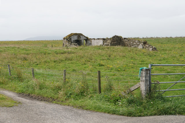
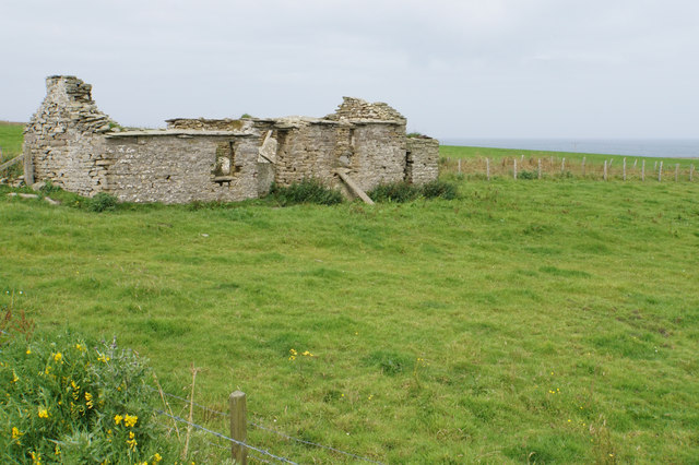
One of the main attractions of the Bay of Cubbigeo is Cubbie Roo's Castle, a historic building that dates back to the 12th century. The castle is believed to be the oldest intact stone castle in Scotland and was originally built by a Norwegian chieftain named Kolbein Hruga in honor of his son, Rognvald Kali. It served as a stronghold during the Norse occupation of Orkney.

Visitors to the bay can explore the castle ruins, which include a well-preserved round tower and remnants of the surrounding defensive walls. The site offers a fascinating glimpse into the region's rich Viking history. Additionally, the bay is a popular spot for outdoor activities such as hiking, birdwatching, and picnicking, attracting both locals and tourists alike.

If you have any feedback on the listing, please let us know in the comments section below.

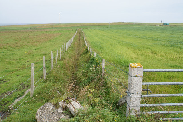
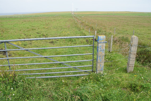
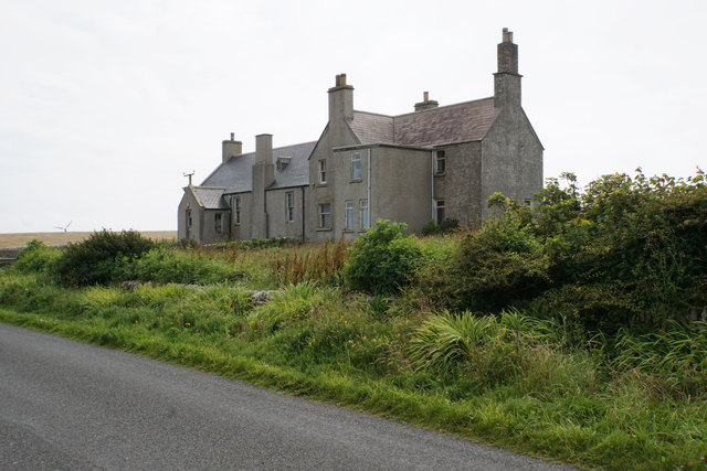
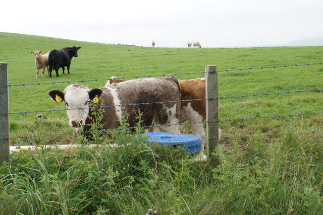
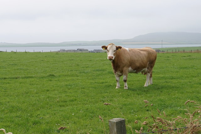
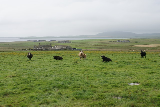
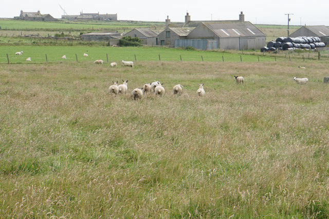
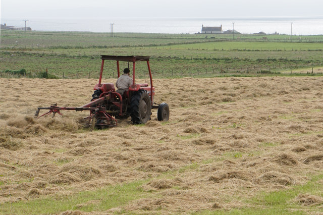
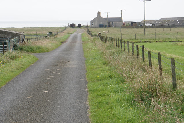
Bay of Cubbigeo Images

Images are sourced within 2km of 59.273203/-2.9105708 or Grid Reference HY4843. Thanks to Geograph Open Source API. All images are credited.

Puffins this Way This unofficial sign indicates the way to the Castle of Burrian, reputed to be one of the best places to see Puffins.
Puffins this Way
This unofficial sign indicates the way to the Castle of Burrian, reputed to be one of the best places to see Puffins.
Rack Wick 'Wick' is from the Norse and means 'bay'. This is just one of several Rackwicks in Orkney. There is even another one on this same island of Westray.
Rack Wick
'Wick' is from the Norse and means 'bay'. This is just one of several Rackwicks in Orkney. There is even another one on this same island of Westray.
Swartaback Farm To all appearances, a ramshackle collection of buildings.
Swartaback Farm
To all appearances, a ramshackle collection of buildings.
Farmland near Dean About two thirds of the width of Westray is visible in this view.
Farmland near Dean
About two thirds of the width of Westray is visible in this view.
Cattle near Hamar Farm A field boundary marked on the map near here no longer exists on the ground.
Cattle near Hamar Farm
A field boundary marked on the map near here no longer exists on the ground.
Track to Mayfield There is a glimpse of the cliffs at Castle O'Burrian far right.
Track to Mayfield
There is a glimpse of the cliffs at Castle O'Burrian far right.
Cattle near Hamar Farm All the cattle are inquisitive, but the older ones cannot be bothered to move like the younger ones.
Cattle near Hamar Farm
All the cattle are inquisitive, but the older ones cannot be bothered to move like the younger ones.
Ruined farm building near East Hamar A common sight in Orkney. This one doesn't have a new building erected next to it.
Ruined farm building near East Hamar
A common sight in Orkney. This one doesn't have a new building erected next to it.
Drainage channel near Einor Drains are common to aid the farmland, which supports mixed farming.
Drainage channel near Einor
Drains are common to aid the farmland, which supports mixed farming.
Drainage channel near Einor Part of a network draining this farmland. The wind turbine ahead is standing on the coast.
Drainage channel near Einor
Part of a network draining this farmland. The wind turbine ahead is standing on the coast.
Einor A large house by the B9066 which appears to have plenty of character, though I am not sure it is currently occupied.
Einor
A large house by the B9066 which appears to have plenty of character, though I am not sure it is currently occupied.
Ruined farmhouse at Einor
Cattle near Einor
Cattle near Einor
Chunky cow near Einor Looking down towards the west coast near Branstone.
Chunky cow near Einor
Looking down towards the west coast near Branstone.
Cattle above Musandale Grazing land with views down to the Bay of Tuquoy.
Cattle above Musandale
Grazing land with views down to the Bay of Tuquoy.
Sheep running away Sheep on Orkney are far more wary than the cattle.
Sheep running away
Sheep on Orkney are far more wary than the cattle.
Preparing for silage Fields in Skelwick, part of Westray.
Preparing for silage
Fields in Skelwick, part of Westray.
Lane to Branstone The lane is not a through road but services a handful of small communities.
Lane to Branstone
The lane is not a through road but services a handful of small communities.
Show me another place!

Bay of Cubbigeo is located at Grid Ref: HY4843 (Lat: 59.273203, Lng: -2.9105708)

Unitary Authority: Orkney Islands

Police Authority: Highlands and Islands

What 3 Words

///wording.aboard.twigs. Near Pierowall, Orkney Islands

Nearby Locations

Bay of Cubbigeo

Related Wikis

Westside Church

Westside Church, (also known as Cross Kirk), is a ruined 12th century church located on the island of Westray in Orkney, Scotland. Archaeological excavations...

Rapness

Rapness is a settlement on the island of Westray in Orkney, Scotland. The slipway is the ferry terminal for the Orkney Ferries crossing from Kirkwall on...

Westray

Westray (, Scots: Westree) is one of the Orkney Islands in Scotland, with a usual resident population of just under 600 people. Its main village is Pierowall...

Holm of Faray

The Holm of Faray is a small island in Orkney, Scotland, near Faray and Westray, which it lies between. Together with its neighbour Faray, it is designated...

Nearby Amenities

Located within 500m of 59.273203,-2.9105708
Power: pole
Lat/Long: 59.2769929/-2.9074878
Power: pole
Lat/Long: 59.276316/-2.9070693
Power: pole
Lat/Long: 59.275639/-2.9066187
Power: pole
Lat/Long: 59.2753266/-2.9055673
Power: pole
Lat/Long: 59.2749072/-2.9043496
Power: pole
Lat/Long: 59.2745468/-2.9031801
Power: pole
Lat/Long: 59.2741645/-2.9019785
Generator Method: wind_turbine
Generator Source: wind
Generator Type: horizontal_axis
Power: generator
Lat/Long: 59.2705847/-2.9037702
The data included in this document is from www.openstreetmap.org. The data is made available under ODbL.

Have you been to Bay of Cubbigeo?

Leave your review of Bay of Cubbigeo below (or comments, questions and feedback).