Bay of Sandoyne
Bay in Orkney
Scotland
Bay of Sandoyne
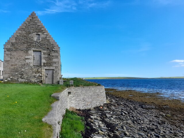
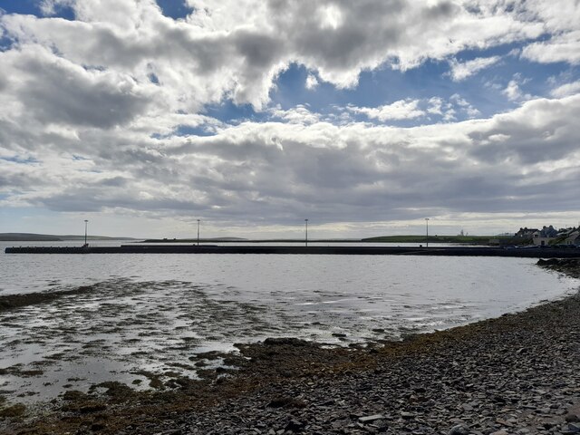
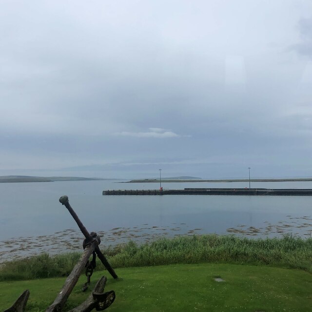
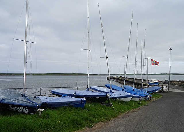
The Bay of Sandoyne, located in the Orkney Islands, is a picturesque and idyllic bay known for its natural beauty and rich history. Situated on the northern coast of Sandoyne, the bay offers stunning panoramic views of the surrounding cliffs and rugged landscape.
With its pristine sandy beach and crystal-clear waters, the Bay of Sandoyne is a popular destination for beachgoers and water sports enthusiasts. The bay is a haven for wildlife, with various species of birds, seals, and even dolphins often spotted in the area. It is also home to a diverse range of marine life, making it a popular spot for snorkeling and diving.
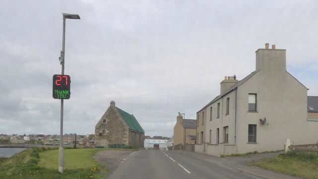
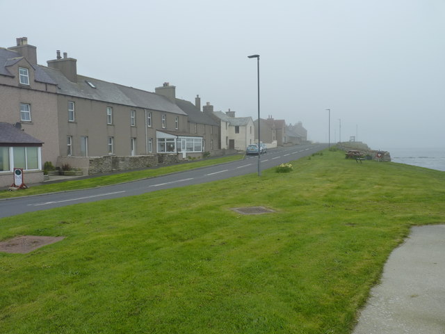
Historically, the Bay of Sandoyne has been an important site for fishing and maritime activities. The bay was used as a trading port during the Viking Age and was a bustling hub for the local community. Today, remnants of this maritime heritage can still be seen, with old fishing boats and historic buildings dotting the shoreline.
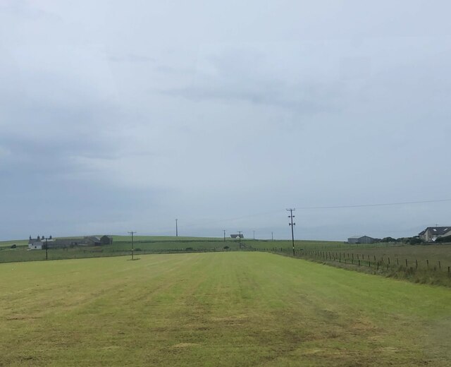
The bay is surrounded by rolling hills and lush greenery, making it a perfect spot for hiking and exploring the countryside. There are several walking trails that offer stunning views of the bay and its surroundings. The area is also home to an array of archaeological sites, including ancient burial mounds and standing stones that provide insights into the island's ancient past.
Overall, the Bay of Sandoyne is a hidden gem in the Orkney Islands, offering visitors a chance to experience the beauty of nature and immerse themselves in the rich history of the region.
If you have any feedback on the listing, please let us know in the comments section below.
Bay of Sandoyne Images
Images are sourced within 2km of 58.901763/-2.9361697 or Grid Reference HY4601. Thanks to Geograph Open Source API. All images are credited.


Bay of Sandoyne is located at Grid Ref: HY4601 (Lat: 58.901763, Lng: -2.9361697)
Unitary Authority: Orkney Islands
Police Authority: Highlands and Islands
What 3 Words
///sang.perch.eventful. Near Holm, Orkney Islands
Nearby Locations
Related Wikis

Broch of Ayre
Broch of Ayre, also known as St. Mary's Broch, is an Iron Age broch in Orkney, Scotland. == Location == Broch of Ayre is found on the northern shore of...

St Mary's, Orkney
St Mary's (also known as St. Mary's Holm) is a small village in the parish of Holm on Mainland, Orkney, Scotland. It was originally a fishing port.Orkney...
Orkney F.C.
Orkney Football Club is a senior association football club from the Orkney Islands, Scotland. The club was founded in 2012 and competes in the North Caledonian...

A961 road
The A961 is a single-carriageway road on the eastern side of Scapa Flow in the Orkney Islands, connecting the town of Kirkwall on the Orkney Mainland to...
Nearby Amenities
Located within 500m of 58.901763,-2.9361697Have you been to Bay of Sandoyne?
Leave your review of Bay of Sandoyne below (or comments, questions and feedback).