Bay of Pierowall

Bay in Orkney

Scotland

Bay of Pierowall

Roadside letter box at Rackwick, Westray
Roadside letter box at Rackwick, Westray Credit: Alpin Stewart

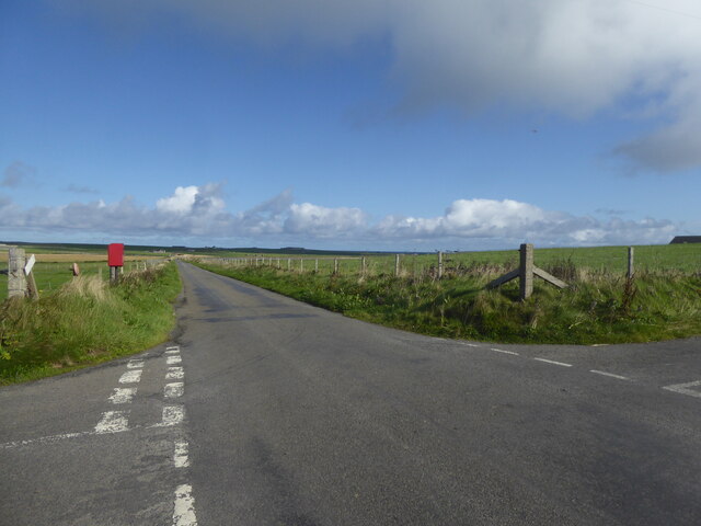
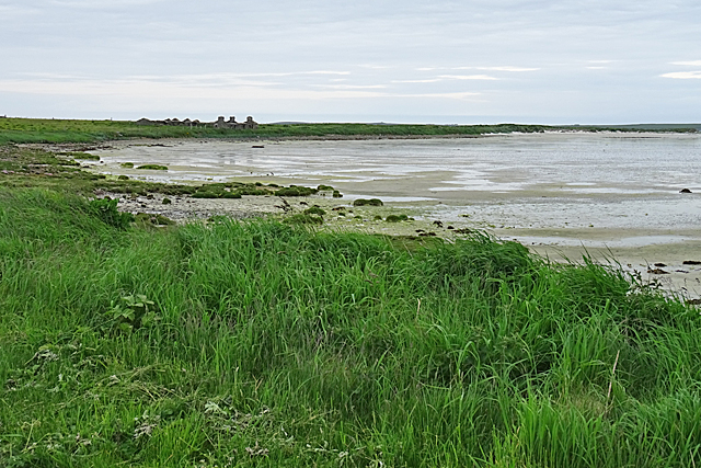
The Bay of Pierowall is a picturesque and tranquil bay located on the west coast of Westray, one of the Orkney Islands in Scotland. Nestled within the archipelago, the bay offers stunning panoramic views of the North Atlantic Ocean, making it a popular destination for locals and visitors alike.

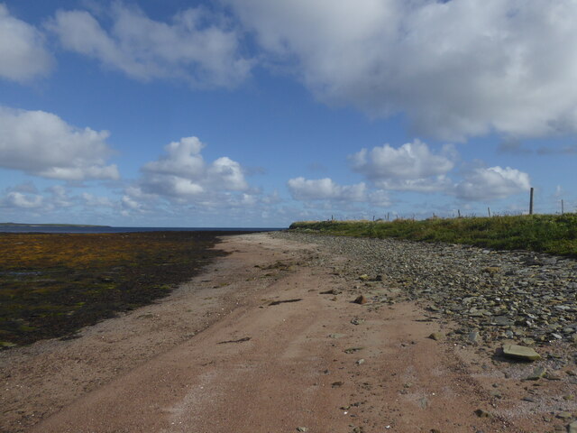
The bay is known for its pristine sandy beach, stretching for approximately 2 kilometers, and its crystal-clear turquoise waters. The beach is ideal for leisurely walks, sunbathing, and picnicking, and is also a haven for wildlife enthusiasts, as it is home to various bird species, including Arctic terns and curlews.

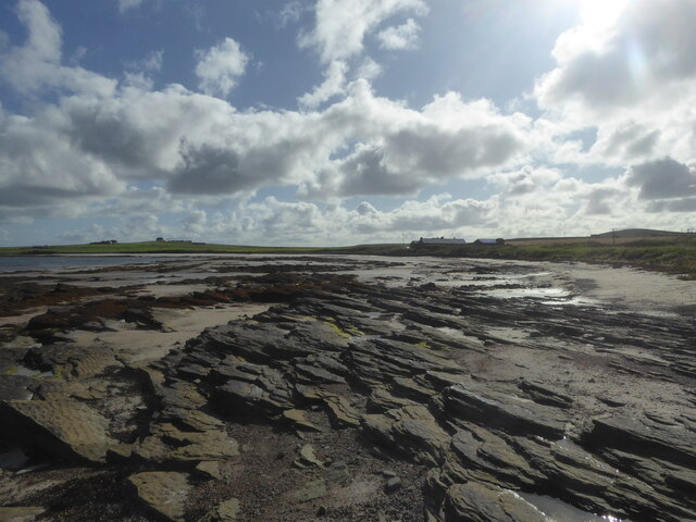
At low tide, the bay reveals an extensive intertidal zone, exposing fascinating rock formations and tide pools teeming with marine life. Exploring these pools provides an opportunity to observe a diverse range of marine organisms, such as crabs, starfish, and anemones.

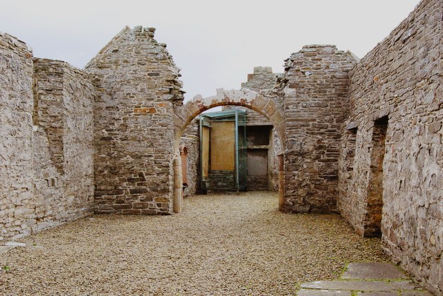
The small village of Pierowall is located near the bay, boasting charming traditional cottages and a historic castle, Noltland Castle, which dates back to the 16th century. Visitors can explore the castle's ruins and learn about its intriguing history.

The Bay of Pierowall offers a peaceful and serene atmosphere, providing an escape from the hustle and bustle of everyday life. With its natural beauty, rich wildlife, and historical attractions, the bay is a must-visit destination for those seeking tranquility and a deeper connection with nature.

If you have any feedback on the listing, please let us know in the comments section below.

Bay of Pierowall Images

Images are sourced within 2km of 59.327618/-2.953008 or Grid Reference HY4549. Thanks to Geograph Open Source API. All images are credited.

Roadside letter box at Rackwick, Westray
Field at Trenabie, Westray
Communications mast at Nether Fiold, Westray
Rocky shore at Bay of Brough, Westray
Shore at Ness of Brough, Westray
Factory, shop and chippy at Broughton, Westray All under one roof - this business processes the local catch, sells fish daily, and sells fish and chips two nights a week.
Factory, shop and chippy at Broughton, Westray
All under one roof - this business processes the local catch, sells fish daily, and sells fish and chips two nights a week.
The Ouse The Ouse is a shallow sandy bay in the north of Westray. The buildings on the far side of the bay are at Hahouse.
The Ouse
The Ouse is a shallow sandy bay in the north of Westray. The buildings on the far side of the bay are at Hahouse.
The Ouse The Ouse is a bay of fine white sand, almost cut by the Ayre of Ouse, a spit of sand that extends most of the way across the bay.
The Ouse
The Ouse is a bay of fine white sand, almost cut by the Ayre of Ouse, a spit of sand that extends most of the way across the bay.
Bay of Skaill
Bay of Skaill
The Ouse Not looking at its best with the tide out. There are some tyre tracks in the sand but I've no idea where they could be going.
The Ouse
Not looking at its best with the tide out. There are some tyre tracks in the sand but I've no idea where they could be going.
Rackwick: postbox № KW17 116 The northernmost postbox on the island of Westray is emptied at 11am on weekdays and Saturdays but items collected are subject to a 24-hour delay (48 on Saturdays) because it will by then have missed the day's ferry connection and won't go anywhere till the following day's.
Rackwick: postbox № KW17 116
The northernmost postbox on the island of Westray is emptied at 11am on weekdays and Saturdays but items collected are subject to a 24-hour delay (48 on Saturdays) because it will by then have missed the day's ferry connection and won't go anywhere till the following day's.
Rackwick, Westray A long straight road towards The Ouse.
Rackwick, Westray
A long straight road towards The Ouse.
Stone breaker, Rackwick, Westray, Orkney This is a Baxter's Improved Stone Breaker with patent knapping motion, made by WH Baxter Ltd of Leeds.  It lies adjacent to the road which runs behind the links at Rackwick.

The poetic instructions on it read,

'Lubricate this breaker well
tightened bolts prevent all rapping
and be sure all parts are clean
that's the way to keep it
"knapping".'
Stone breaker, Rackwick, Westray, Orkney
This is a Baxter's Improved Stone Breaker with patent knapping motion, made by WH Baxter Ltd of Leeds. It lies adjacent to the road which runs behind the links at Rackwick. The poetic instructions on it read, 'Lubricate this breaker well tightened bolts prevent all rapping and be sure all parts are clean that's the way to keep it "knapping".'
Coastline, Rackwick, Westray, Orkney Looking towards Noup Head.
Coastline, Rackwick, Westray, Orkney
Looking towards Noup Head.
Boat nausts, Rackwick, Westray, Orkney From <span class="nowrap"><a title="http://canmore.org.uk/event/638992" rel="nofollow ugc noopener" href="http://canmore.org.uk/event/638992">Link</a><img style="margin-left:2px;" alt="External link" title="External link - shift click to open in new window" src="https://s1.geograph.org.uk/img/external.png" width="10" height="10"/></span> : "Two boat noosts lie to the landward side of a rough track, some 5m from the head of the shore. The noosts are defined by a semi-circular drystone wall with an internal stone wall partition. They have pointed ends and measure 2m in width and 4m in length; the walls stand up to 0.5m high."
Boat nausts, Rackwick, Westray, Orkney
From LinkExternal link : "Two boat noosts lie to the landward side of a rough track, some 5m from the head of the shore. The noosts are defined by a semi-circular drystone wall with an internal stone wall partition. They have pointed ends and measure 2m in width and 4m in length; the walls stand up to 0.5m high."
Lady Kirk on Westray The Lady Kirk at Pierowall is one of two ruined churches on the island of Westray, in Orkney, Scotland. It is a Scheduled Ancient Monument in the care of Historic Scotland – see <span class="nowrap"><a title="http://portal.historicenvironment.scot/designation/SM13416" rel="nofollow ugc noopener" href="http://portal.historicenvironment.scot/designation/SM13416">Link</a><img style="margin-left:2px;" alt="External link" title="External link - shift click to open in new window" src="https://s1.geograph.org.uk/img/external.png" width="10" height="10"/></span> and <span class="nowrap"><a title="http://portal.historicenvironment.scot/document/600014503" rel="nofollow ugc noopener" href="http://portal.historicenvironment.scot/document/600014503">Link</a><img style="margin-left:2px;" alt="External link" title="External link - shift click to open in new window" src="https://s1.geograph.org.uk/img/external.png" width="10" height="10"/></span> .
Lady Kirk on Westray
The Lady Kirk at Pierowall is one of two ruined churches on the island of Westray, in Orkney, Scotland. It is a Scheduled Ancient Monument in the care of Historic Scotland – see LinkExternal link and LinkExternal link .
Harbour, Westray
Harbour, Westray
Houses by the ferry terminal, Westray
Show me another place!

Bay of Pierowall is located at Grid Ref: HY4549 (Lat: 59.327618, Lng: -2.953008)

Unitary Authority: Orkney Islands

Police Authority: Highlands and Islands

What 3 Words

///observer.popular.ownership. Near Pierowall, Orkney Islands

Nearby Locations

Bay of Pierowall Ouse Ness

Related Wikis

Quoygrew settlement, Westray

Quoygrew, Westray is the site of a medieval Norse settlement on the island of Westray in Orkney, Scotland. Established as a small farmstead most likely...

Lady Kirk

The Lady Kirk (or St Mary's Kirk) at Pierowall is a ruined 17th-century church on the island of Westray, in Orkney, Scotland. The church was built in 1674...
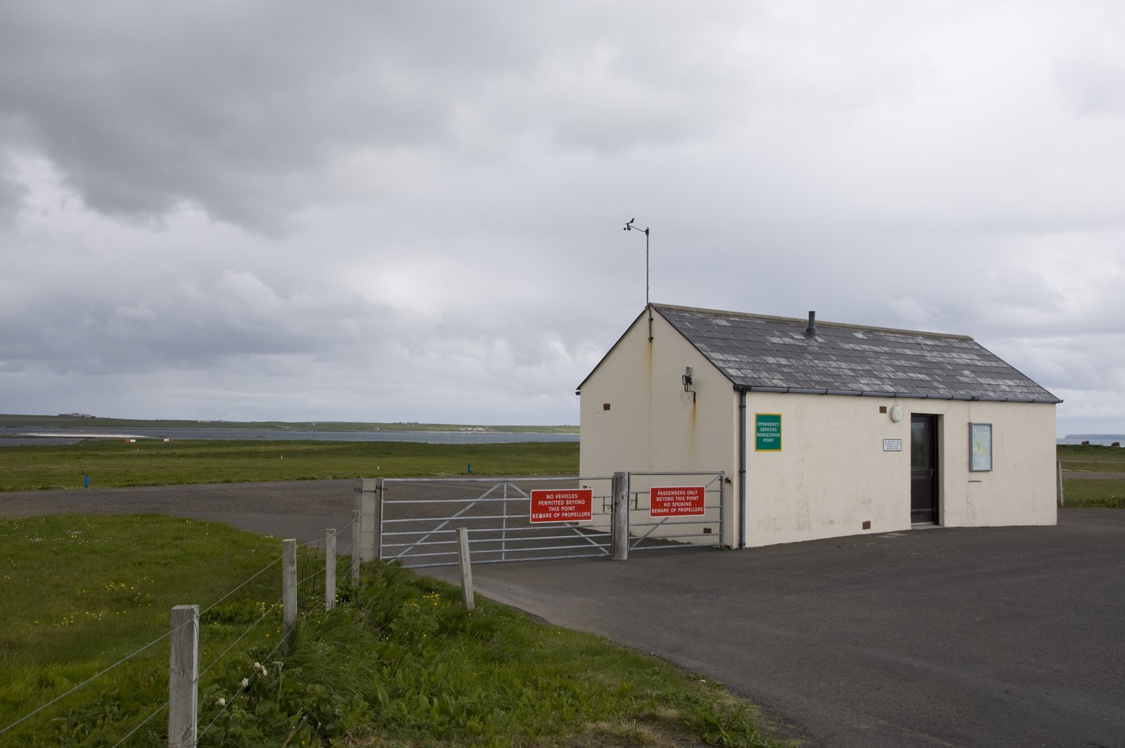
Westray Airport

Westray Airport (IATA: WRY, ICAO: EGEW) is an airport at Aikerness, on Westray in the Orkney Islands, Scotland. It is best known for being one of the two...

Links of Noltland

Links of Noltland is a large prehistoric settlement located on the north coast of the island of Westray in Orkney, Scotland. The extensive ruins includes...

Noltland Castle

Noltland Castle is located near Pierowall on the island of Westray in the Orkney Islands of Scotland. It dates mainly to the later 16th century, although...
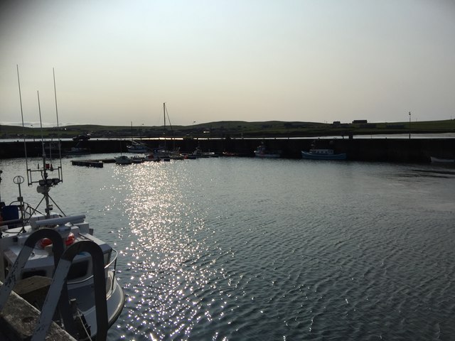
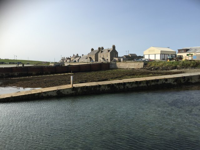
Pierowall

Pierowall is a village of Westray in the Orkney Islands, off the coast of the northern Scottish mainland. The village is the island's largest settlement...

Knap of Howar

The Knap of Howar () on the island of Papa Westray in Orkney, Scotland is a Neolithic farmstead which may be the oldest preserved stone house in northern...

Holland House, Papa Westray

Holland Farm is a historic farm complex located on the island of Papa Westray in Orkney, Scotland. The two-storey harled flagstone house with crow-stepped...

Nearby Amenities

Located within 500m of 59.327618,-2.953008
Generator Method: wind_turbine
Generator Source: wind
Power: generator
Lat/Long: 59.3282402/-2.9591658
The data included in this document is from www.openstreetmap.org. The data is made available under ODbL.

Have you been to Bay of Pierowall?

Leave your review of Bay of Pierowall below (or comments, questions and feedback).