Little Wisbeach

Settlement in Lincolnshire South Kesteven

England

Little Wisbeach

Woodland near Dowsby
Woodland near Dowsby Credit: JThomas

Little Wisbeach is a small village located in the county of Lincolnshire, England. Situated near the eastern coast of the country, it lies approximately 8 miles north of the town of Spilsby. The village is positioned amidst the picturesque rural landscape of the Lincolnshire Wolds, renowned for its rolling hills and tranquil countryside.

With a population of around 200 residents, Little Wisbeach exudes a sense of close-knit community and traditional charm. The village is characterized by its quaint cottages, many of which date back several centuries, showcasing the architectural style of the region. The local church, St. Mary's, stands proudly in the heart of the village, serving as a focal point for religious and community gatherings.

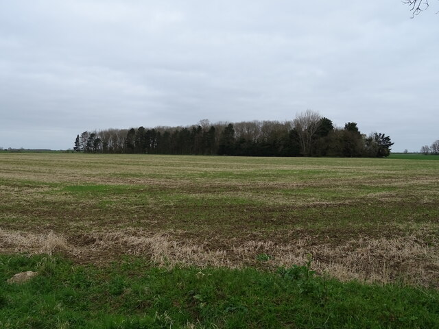
The surrounding countryside offers a wealth of outdoor activities and natural beauty. Little Wisbeach is encompassed by scenic walking trails, allowing residents and visitors to explore the idyllic surroundings and enjoy the tranquility of the area. The Lincolnshire Wolds Area of Outstanding Natural Beauty is also within close proximity, providing opportunities for biking, hiking, and wildlife spotting.

While the village itself is primarily residential, amenities such as a local shop and a pub can be found nearby, ensuring convenience for its residents. Additionally, the village benefits from good transport links, with access to major roads connecting it to neighboring towns and cities.

Overall, Little Wisbeach offers a peaceful and picturesque setting, making it an ideal place for those seeking a tranquil rural lifestyle amidst the natural beauty of Lincolnshire.

If you have any feedback on the listing, please let us know in the comments section below.

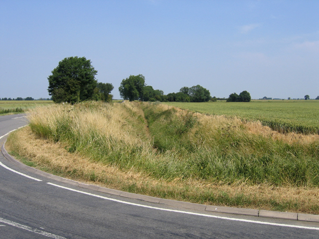
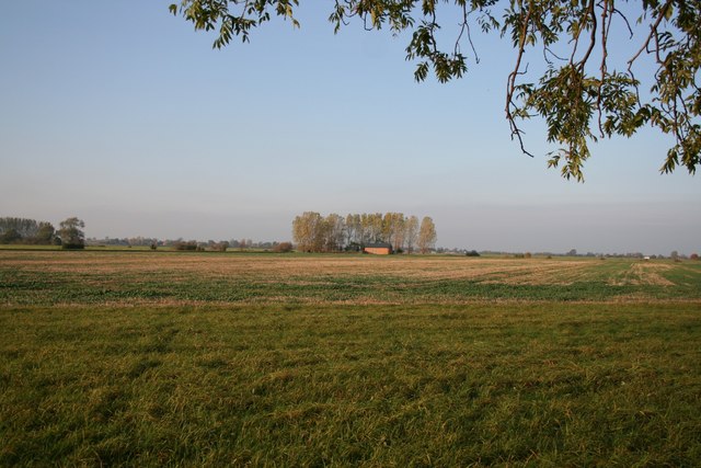
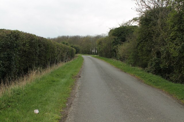
Little Wisbeach Images

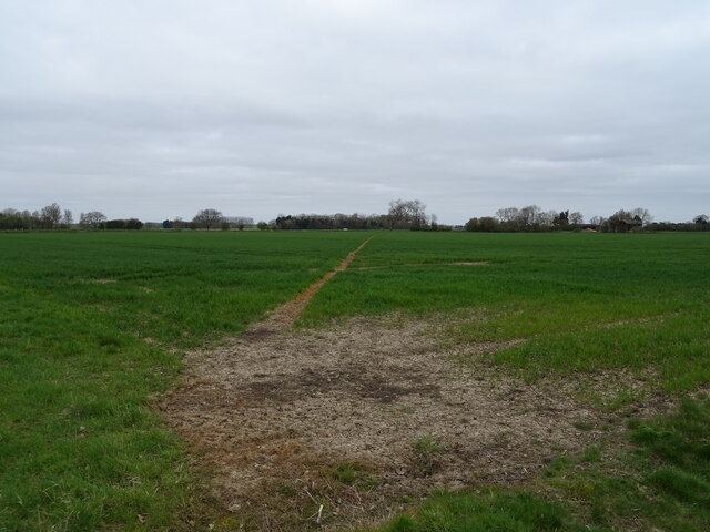
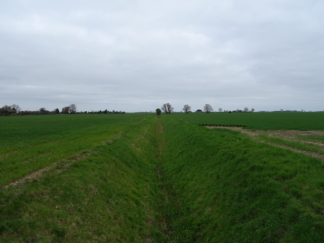
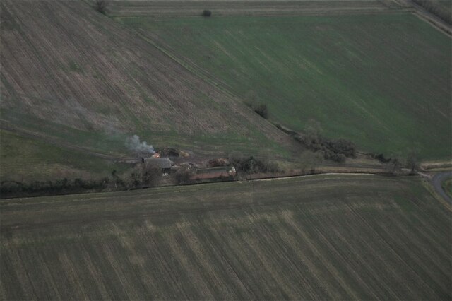
Images are sourced within 2km of 52.8671/-0.329 or Grid Reference TF1231. Thanks to Geograph Open Source API. All images are credited.

Woodland near Dowsby
Track (footpath) heading north from the B1397, Dowsby
B1397 heading east from Dowsby Towards Gosberton  Clough.
B1397 heading east from Dowsby
Towards Gosberton Clough.
Footpath over crop field Towards Old Decoy Farm.
Footpath over crop field
Towards Old Decoy Farm.
Drain north of Fen Road, Dowsby Fen The Fens, also known as the Fenland, is a naturally marshy region in eastern England. Most of the fens were drained several centuries ago, resulting in a flat, damp, low-lying agricultural region.
A fen is the local name for an individual area of marshland or former marshland and also designates the type of marsh typical of the area, which has neutral or alkaline water chemistry and relatively large quantities of dissolved minerals, but few other plant nutrients.
Fenland primarily lies around the coast of the Wash; it reaches into four counties: Lincolnshire, Cambridgeshire, Norfolk and a small area of Suffolk, as well as the historic county of Huntingdonshire. In whole it occupies an area of nearly 1,500 sq miles.
Most of the Fenland lies within a few metres of sea level. As with similar areas in the Netherlands, much of the Fenland originally consisted of fresh- or salt-water wetlands, which have been artificially drained and continue to be protected from floods by drainage banks and pumps.
Drain north of Fen Road, Dowsby Fen
The Fens, also known as the Fenland, is a naturally marshy region in eastern England. Most of the fens were drained several centuries ago, resulting in a flat, damp, low-lying agricultural region. A fen is the local name for an individual area of marshland or former marshland and also designates the type of marsh typical of the area, which has neutral or alkaline water chemistry and relatively large quantities of dissolved minerals, but few other plant nutrients. Fenland primarily lies around the coast of the Wash; it reaches into four counties: Lincolnshire, Cambridgeshire, Norfolk and a small area of Suffolk, as well as the historic county of Huntingdonshire. In whole it occupies an area of nearly 1,500 sq miles. Most of the Fenland lies within a few metres of sea level. As with similar areas in the Netherlands, much of the Fenland originally consisted of fresh- or salt-water wetlands, which have been artificially drained and continue to be protected from floods by drainage banks and pumps.
Old Decoy Farm on Dowsby Fen: aerial 2022
Car Dyke, Dowsby Fen, Lincs – view NNE from Fen Road along the course of the Roman canal.
Car Dyke, Dowsby Fen, Lincs
– view NNE from Fen Road along the course of the Roman canal.
Woodland in Dowsby Fen, Lincs north of Fen Road.
Woodland in Dowsby Fen, Lincs
north of Fen Road.
Dunsby Fen Rural view across Dunsby Fen near Old Decoy Farm
Dunsby Fen
Rural view across Dunsby Fen near Old Decoy Farm
Car Dyke Line of the Roman Car Dyke on Dowsby Fen skirting Old Decoy Farm Wood
Car Dyke
Line of the Roman Car Dyke on Dowsby Fen skirting Old Decoy Farm Wood
Restricted Byway - Literally!
Church, Pinfold Lane, Pointon "Christchurch is a Victorian "Mission Church" in the village of Pointon - built to support the work of the Parish Church at Sempringham.
A very active small village church, Christchurch hosts a weekly Tuesday morning coffee morning as well as a fortnightly Thursday night drop-in and regular Sunday worship.
Furnished with modern upholstered chairs and electric heating, this "tin tabernacle" is multi-use and relevant to its community."
(It even has a bell!)
Church, Pinfold Lane, Pointon
"Christchurch is a Victorian "Mission Church" in the village of Pointon - built to support the work of the Parish Church at Sempringham. A very active small village church, Christchurch hosts a weekly Tuesday morning coffee morning as well as a fortnightly Thursday night drop-in and regular Sunday worship. Furnished with modern upholstered chairs and electric heating, this "tin tabernacle" is multi-use and relevant to its community." (It even has a bell!)
Stream by Millthorpe Drove
Neslam Road
Neslam Road
Millthorpe Drove
Millthorpe Drove
Red Gables Farm Near Pointon.
Red Gables Farm
Near Pointon.
Neslam Road The road clips the corner of this square here.
Neslam Road
The road clips the corner of this square here.
Rural Grass Management on Fen Road Pointon Lode runs in the ditch.
Rural Grass Management on Fen Road
Pointon Lode runs in the ditch.
Show me another place!

Little Wisbeach is located at Grid Ref: TF1231 (Lat: 52.8671, Lng: -0.329)

Division: Parts of Kesteven

Administrative County: Lincolnshire

District: South Kesteven

Police Authority: Lincolnshire

What 3 Words

///decompose.narrow.restored. Near Billingborough, Lincolnshire

Related Wikis

Pointon

Pointon is a village in the civil parish of Pointon and Sempringham, in the South Kesteven district of Lincolnshire, England. In 2021 the parish of "Pointon...

Pointon and Sempringham

Pointon and Sempringham is a civil parish in the English county of Lincolnshire. Forming part of the non-metropolitan district of South Kesteven its main...

Sempringham

Sempringham is a village in the civil parish of Pointon and Sempringham, in the South Kesteven district of Lincolnshire, England. It is situated 2 miles...

Dowsby

Dowsby is a village and civil parish in the South Kesteven district of Lincolnshire, England. It is situated on the western edge of The Fens at the junction...

Nearby Amenities

Located within 500m of 52.8671,-0.329
Source: Bing
Waterway: weir
Lat/Long: 52.8669018/-0.325868
Little Wisbeach
Place: locality
Source: Bing
Lat/Long: 52.8671765/-0.3300755
Old Pieground Farm
Place: farm
Source: Bing
Lat/Long: 52.8669582/-0.3328331
Red Gables
Place: isolated_dwelling
Source: Bing
Lat/Long: 52.8688453/-0.3315379
Power: pole
Lat/Long: 52.867064/-0.3296883
Power: pole
Lat/Long: 52.8678089/-0.3297346
Power: pole
Lat/Long: 52.8685785/-0.3297673
Power: pole
Lat/Long: 52.8690997/-0.3297782
Power: pole
Lat/Long: 52.8693825/-0.3231687
Power: pole
Lat/Long: 52.8694729/-0.3245416
Power: pole
Lat/Long: 52.8695651/-0.3258992
Power: pole
Lat/Long: 52.8696374/-0.3270787
Power: pole
Lat/Long: 52.8697262/-0.3284352
Power: pole
Lat/Long: 52.8698216/-0.3298354
Power: pole
Lat/Long: 52.8699167/-0.3311618
Power: pole
Lat/Long: 52.8699989/-0.3325456
Power: pole
Lat/Long: 52.8700909/-0.3339212
Wildwell Cottage
Place: isolated_dwelling
Lat/Long: 52.8639225/-0.3291822
The data included in this document is from www.openstreetmap.org. The data is made available under ODbL.

Have you been to Little Wisbeach?

Leave your review of Little Wisbeach below (or comments, questions and feedback).