Aberlady Bay
Bay in East Lothian
Scotland
Aberlady Bay
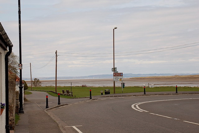
Aberlady Bay is a picturesque bay located on the east coast of Scotland, in East Lothian. Spanning approximately 8 kilometers in length, the bay is known for its stunning natural beauty and diverse wildlife. It is situated just to the east of the village of Aberlady, which gives the bay its name.
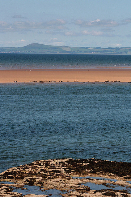
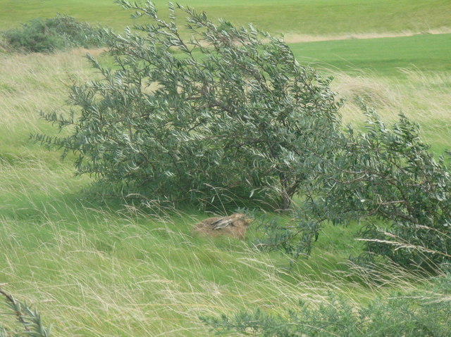
The bay is characterized by its expansive sandy beaches and dunes, which provide a habitat for various plant species. The area is known for its rich biodiversity, with the bay being designated as a Site of Special Scientific Interest and a Local Nature Reserve. The diverse habitats found in Aberlady Bay attract a wide range of bird species, making it a popular destination for birdwatching enthusiasts. It is estimated that over 20,000 birds visit the bay each year, including wading birds, geese, and ducks.
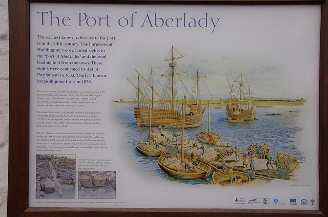
Aside from its natural beauty, Aberlady Bay also holds historical significance. The remains of an ancient crannog, a type of artificial island, can be found at low tide. These remnants serve as evidence of human activity in the area dating back to the Iron Age.
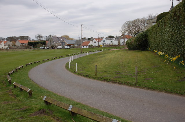
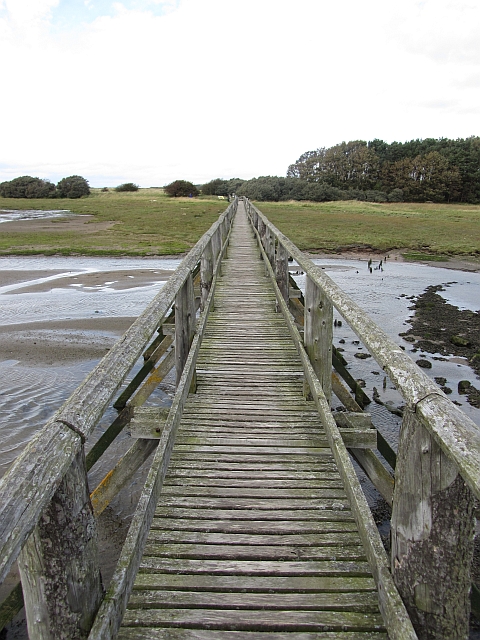
The bay is easily accessible, with a car park and visitor center located nearby. Visitors can enjoy walks along the beach, observe the wildlife, or simply take in the tranquil surroundings. Aberlady Bay is a hidden gem in East Lothian, offering a unique blend of natural beauty, wildlife, and historical interest.
If you have any feedback on the listing, please let us know in the comments section below.
Aberlady Bay Images
Images are sourced within 2km of 56.012856/-2.8794259 or Grid Reference NT4580. Thanks to Geograph Open Source API. All images are credited.
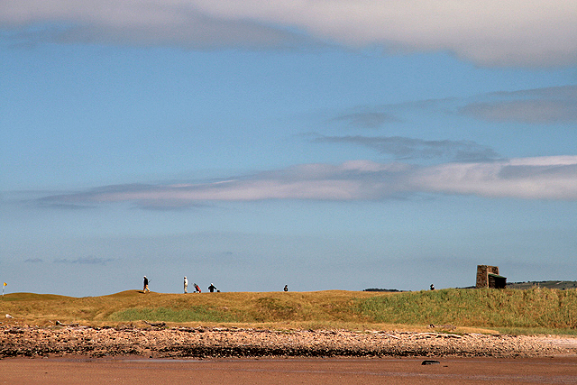

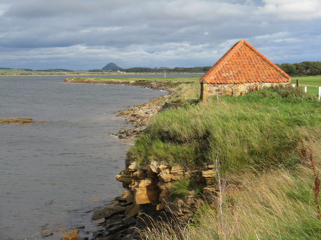
![Foreshore at Kilspindie Looking to Aberlady Bay [tide in] from the edge of Kilspindie Golf Course.](https://s2.geograph.org.uk/geophotos/02/59/68/2596854_0411c1be.jpg)
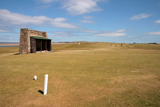
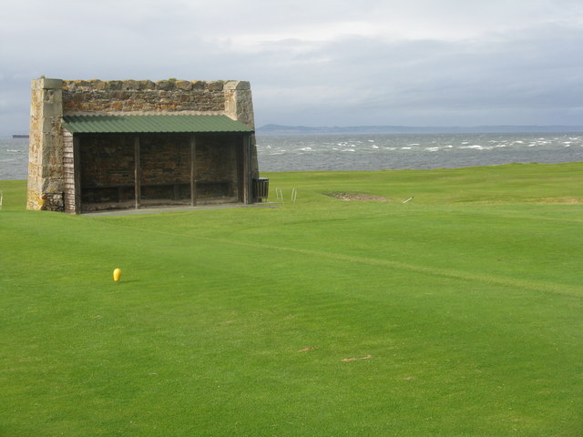
![Action on the 4th tee On a wild and windy day - balls going everywhere. Looking west from Kilspindie towards Cockenzie Power Station [left] and Arthur&#039;s Seat [right].](https://s1.geograph.org.uk/geophotos/02/59/68/2596861_06417aae.jpg)
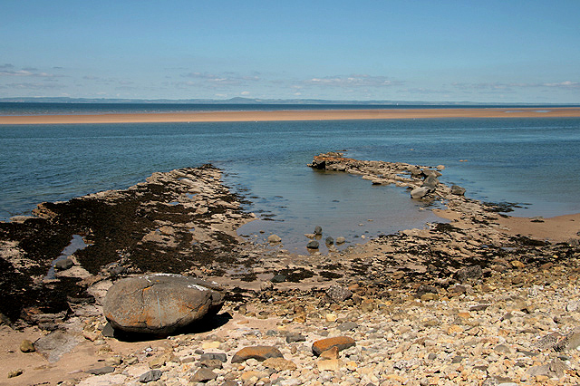
![Aberlady Bay from Kilspindie Looking east towards North Berwick Law [11km away].](https://s3.geograph.org.uk/geophotos/02/59/68/2596879_4918f7a9.jpg)
Aberlady Bay is located at Grid Ref: NT4580 (Lat: 56.012856, Lng: -2.8794259)
Unitary Authority: East Lothian
Police Authority: The Lothians and Scottish Borders
What 3 Words
///majors.evidently.stroke. Near Aberlady, East Lothian
Nearby Locations
Related Wikis

Aberlady Bay
Aberlady Bay in East Lothian, Scotland lies between Aberlady and Gullane. In 1952, Aberlady Bay became the UK's first Local Nature Reserve (LNR) and is...

Kilspindie Castle
Kilspindie Castle lies north of the village of Aberlady, in East Lothian, Scotland; the remains of the castle are behind the Victorian St Mary's Kirk....

Aberlady
Aberlady (Scots: Aiberleddy, Gaelic: Obar Lobhaite) is a coastal village in the Scottish council area of East Lothian. The village had an estimated population...

Gosford House
Gosford House is a neoclassical country house around 2 miles (3 km) northeast of Longniddry in East Lothian, Scotland, on the A198 Aberlady Road, in 5...
Related Videos
A holiday in East Lothian episode 5 - An Aberlady Special
In this episode I took an inside look at Aberlady, an East Lothian coastal village with a story to tell! For further information about the ...


The coastline from Aberlady to North Berwick.
In todays video shows stunning beach's, sand dunes, glorious sunsets and beautiful wildlife. Grab a cuppa and emerge yourself ...
Nearby Amenities
Located within 500m of 56.012856,-2.8794259Have you been to Aberlady Bay?
Leave your review of Aberlady Bay below (or comments, questions and feedback).